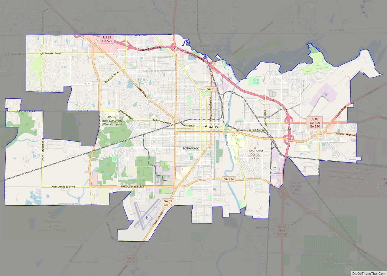
Dougherty County is located in the southwestern portion of the U.S. state of Georgia. As of the 2020 census, the population was 85,790. The county seat and sole incorporated city is Albany.
Dougherty County is included in the Albany, GA Metropolitan Statistical Area. Historically dominated by cotton plantation agriculture in the nineteenth century, it is part of the Black Belt of the South.
| Name: | Dougherty County |
|---|---|
| FIPS code: | 13-095 |
| State: | Georgia |
| Founded: | 1853 |
| Named for: | Charles Dougherty |
| Seat: | Albany |
| Largest city: | Albany |
| Total Area: | 335 sq mi (870 km²) |
| Land Area: | 329 sq mi (850 km²) |
| Total Population: | 85,790 |
| Population Density: | 288/sq mi (111/km²) |
| Time zone: | UTC−5 (Eastern) |
| Summer Time Zone (DST): | UTC−4 (EDT) |
| Website: | www.albany.ga.us/content/1800 |
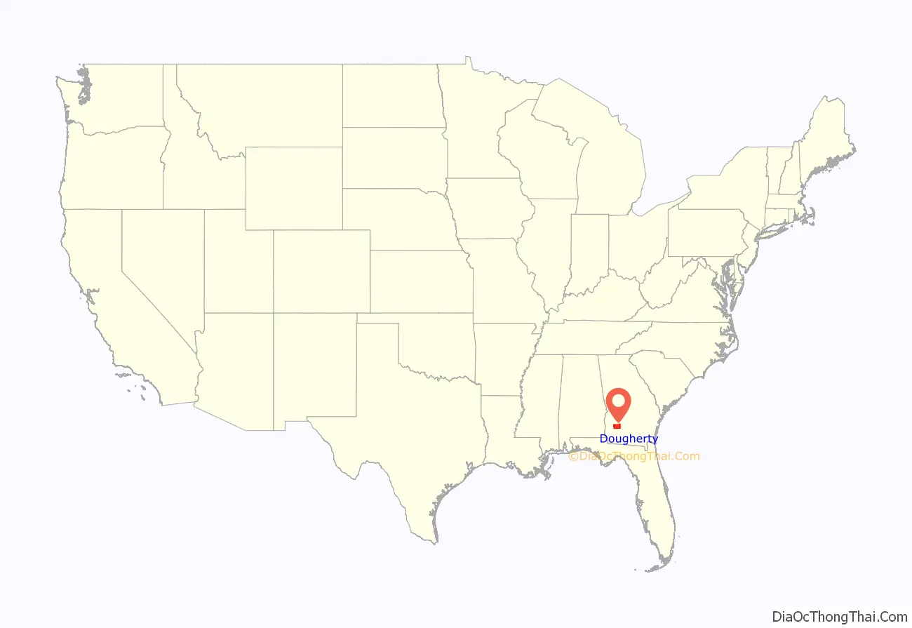
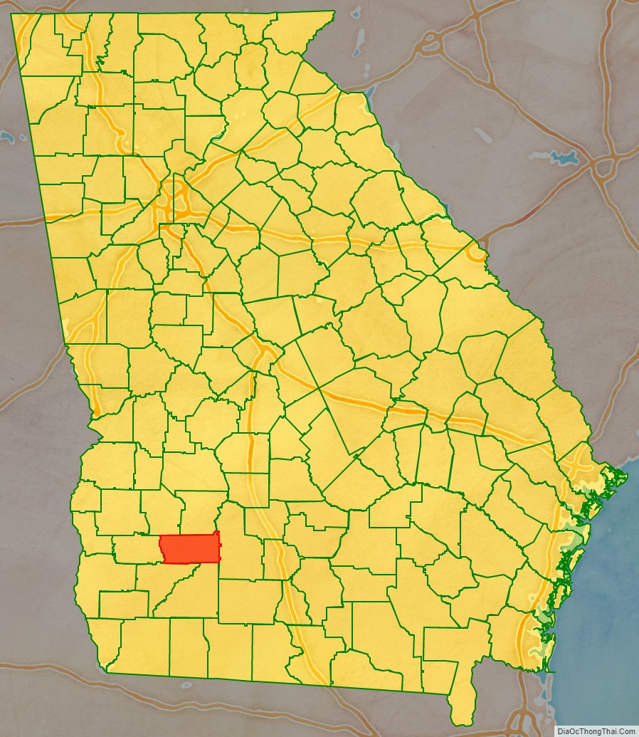
Dougherty County location map. Where is Dougherty County?
History
The county was created by the Georgia General Assembly on December 15, 1853, from a part of Baker County. It was named after Charles Dougherty, a respected judge and lawyer from Athens, Georgia. In 1854 and 1856 small areas were added from Worth County.
As noted above, the county was developed by European Americans using enslaved African Americans as workers for the production of cotton as a commodity crop. Its county seat of Albany, Georgia is located on the Flint River, which was originally the chief means of transportation for shipped products. Albany was later served by seven railroad lines, adding to its significance as a market center. The city was a center of the Civil Rights Movement, particularly during the early 1960s.
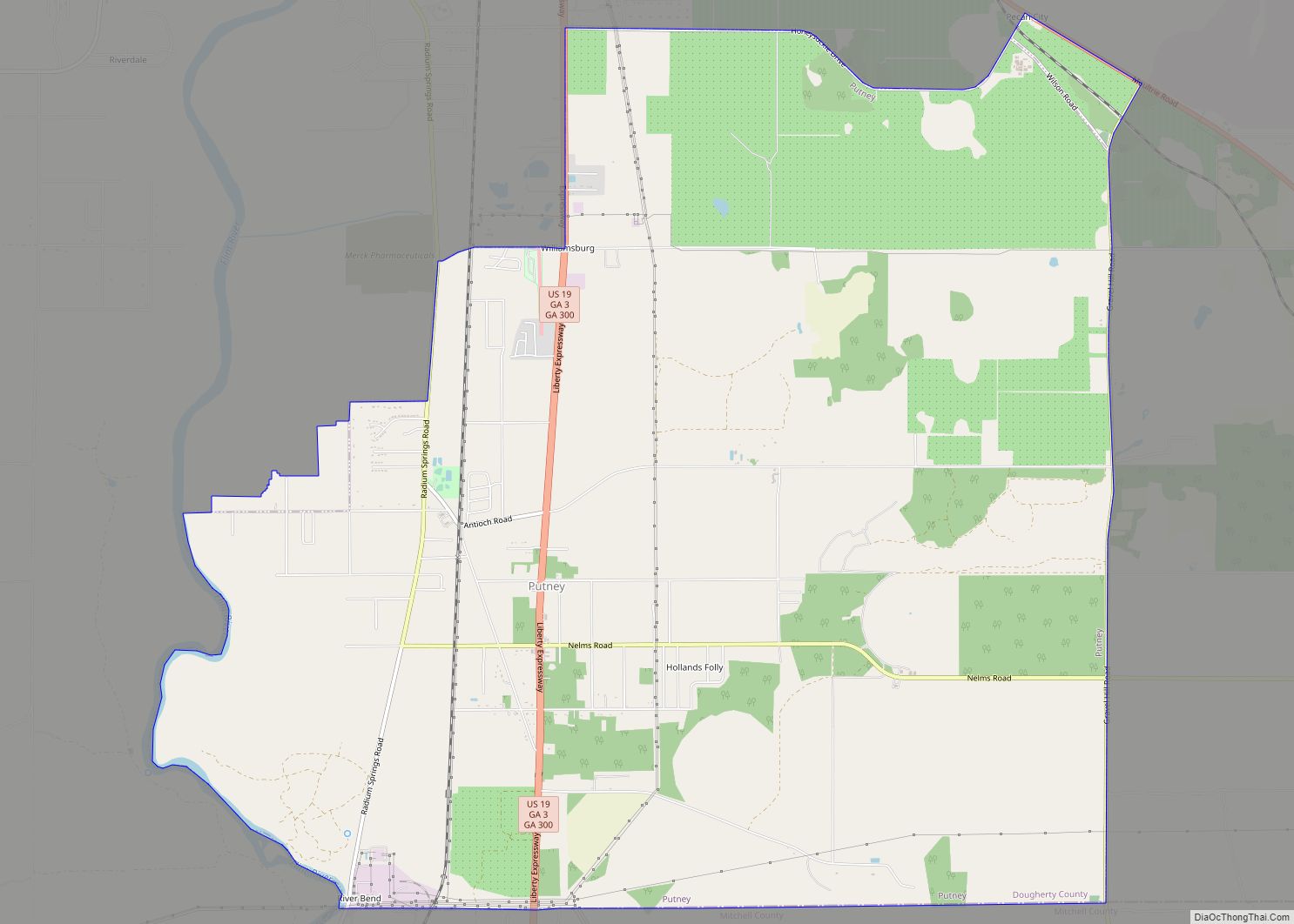
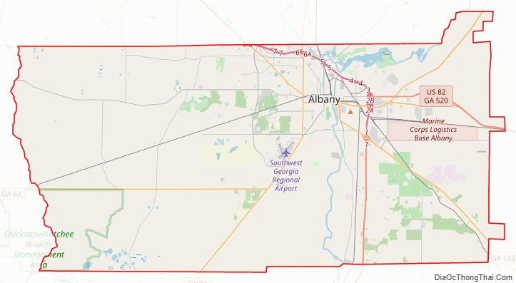
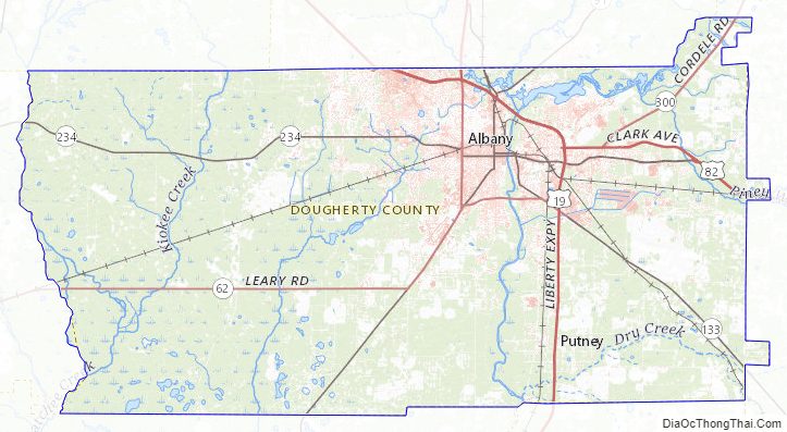
Dougherty County Road Map
Geography
According to the U.S. Census Bureau, the county has a total area of 335 square miles (870 km), of which 329 square miles (850 km) is land and 5.9 square miles (15 km) (1.8%) is water.
The majority of Dougherty County is located in the Lower Flint River sub-basin of the ACF River Basin (Apalachicola-Chattahoochee-Flint River Basin). The northeastern corner of the county, northeast of Albany, is located in the Middle Flint River sub-basin of the same ACF River basin. A very small portion of Dougherty County, north of Albany, is located in the Kinchafoonee-Muckalee sub-basin of the larger ACF River Basin. The remaining western portion of the county is located in the Ichawaynochaway Creek sub-basin of the same ACF River Basin.
Major highways
- U.S. Route 19
U.S. Route 19 Business- U.S. Route 82
U.S. Route 82 Business- State Route 3
- State Route 62
- State Route 91
- State Route 133
- State Route 234
- State Route 300
- State Route 520
- State Route 520 Business
Adjacent counties
- Lee County – north
- Worth County – east
- Mitchell County – south
- Baker County – southwest
- Calhoun County – west
- Terrell County – northwest
Dougherty County Topographic Map
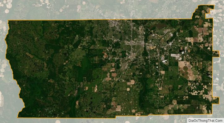
Dougherty County Satellite Map
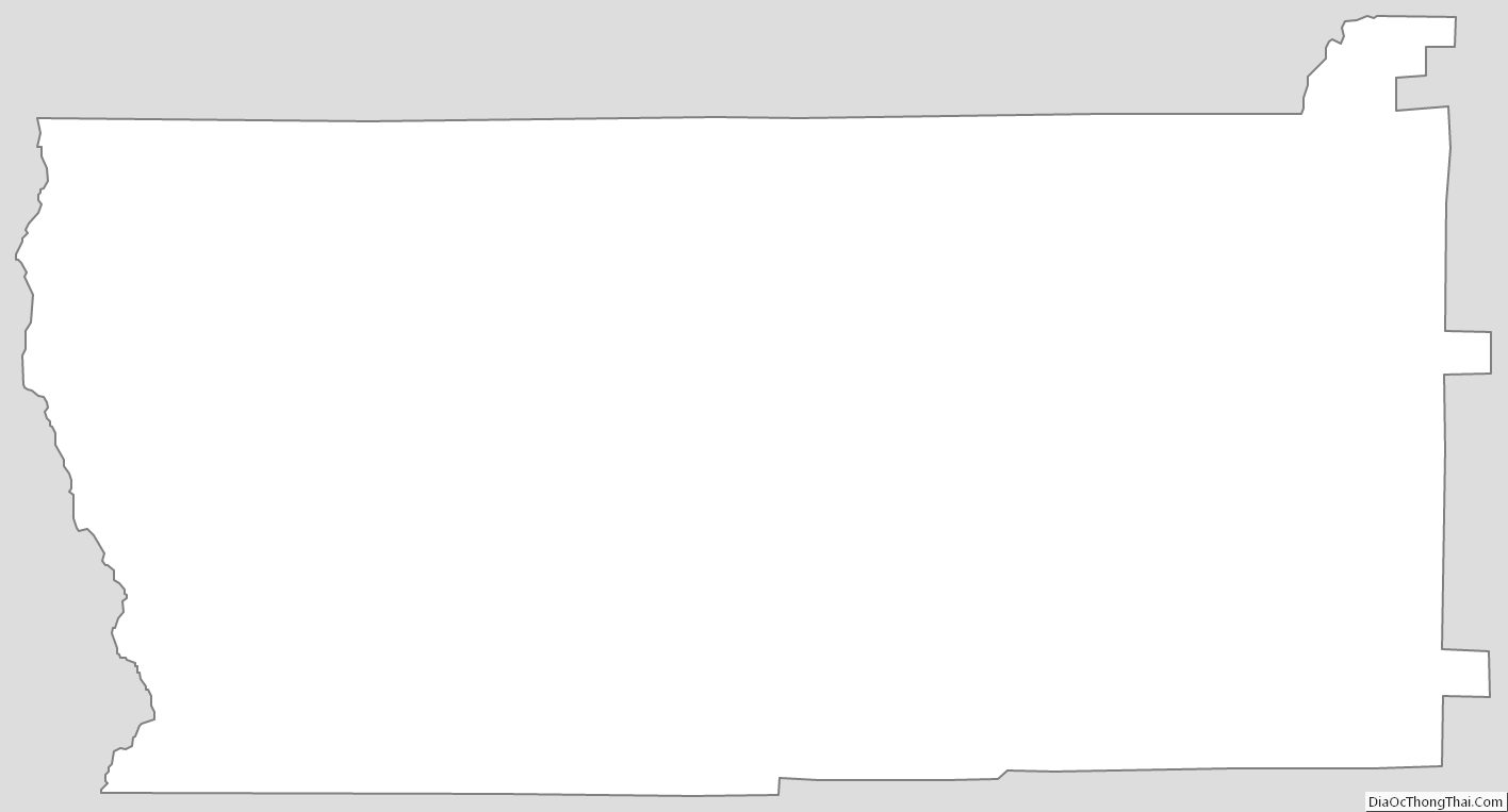
Dougherty County Outline Map