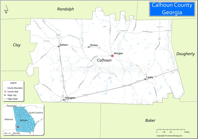
Calhoun County is a rural county in the southwestern part of the U.S. state of Georgia. Its county seat is Morgan.
| Name: | Calhoun County |
|---|---|
| FIPS code: | 13-037 |
| State: | Georgia |
| Founded: | 1854 |
| Named for: | John C. Calhoun |
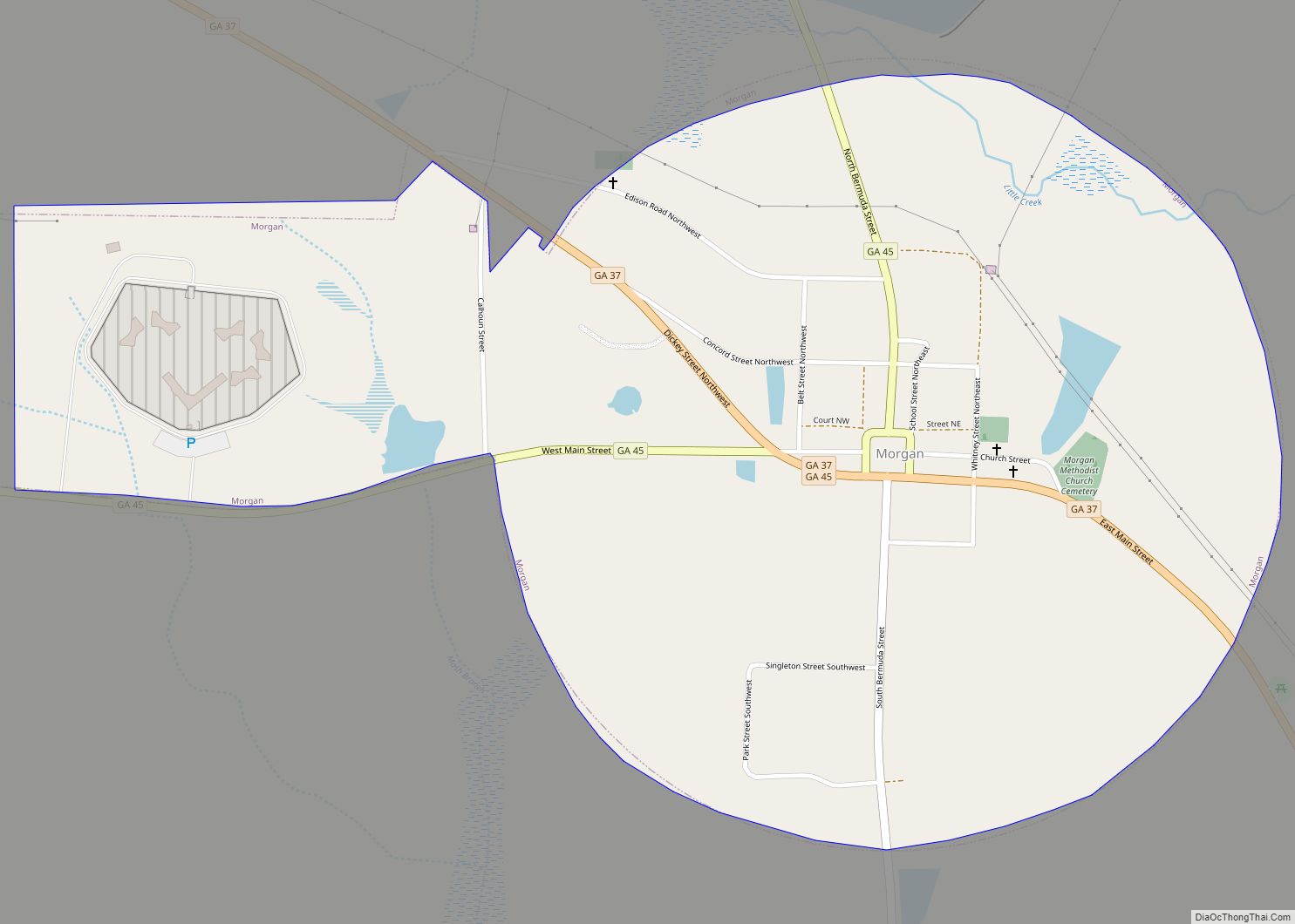
| Seat: | Morgan |
| Largest city: | Morgan |
| Total Area: | 284 sq mi (740 km²) |
| Land Area: | 280 sq mi (700 km²) |
| Total Population: | 5,573 |
| Population Density: | 20/sq mi (8/km²) |
| Time zone: | UTC−5 (Eastern) |
| Summer Time Zone (DST): | UTC−4 (EDT) |
| Website: | calhouncountyga.com |
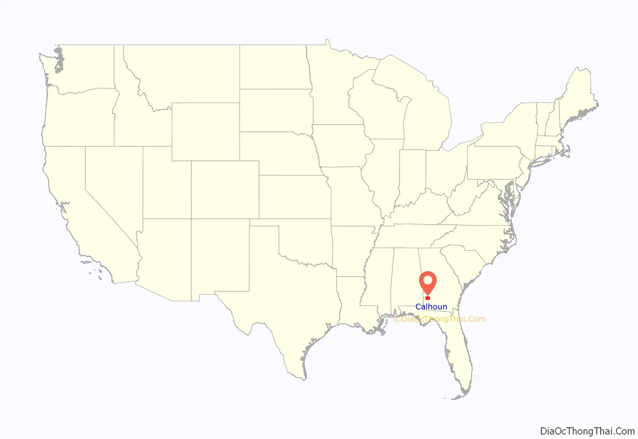
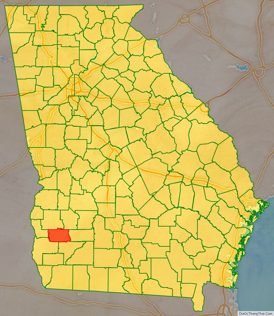
Calhoun County location map. Where is Calhoun County?
History
Calhoun County was named for John C. Calhoun, the seventh Vice President of the United States. It was created from parts of Early and Baker counties on February 20, 1854.
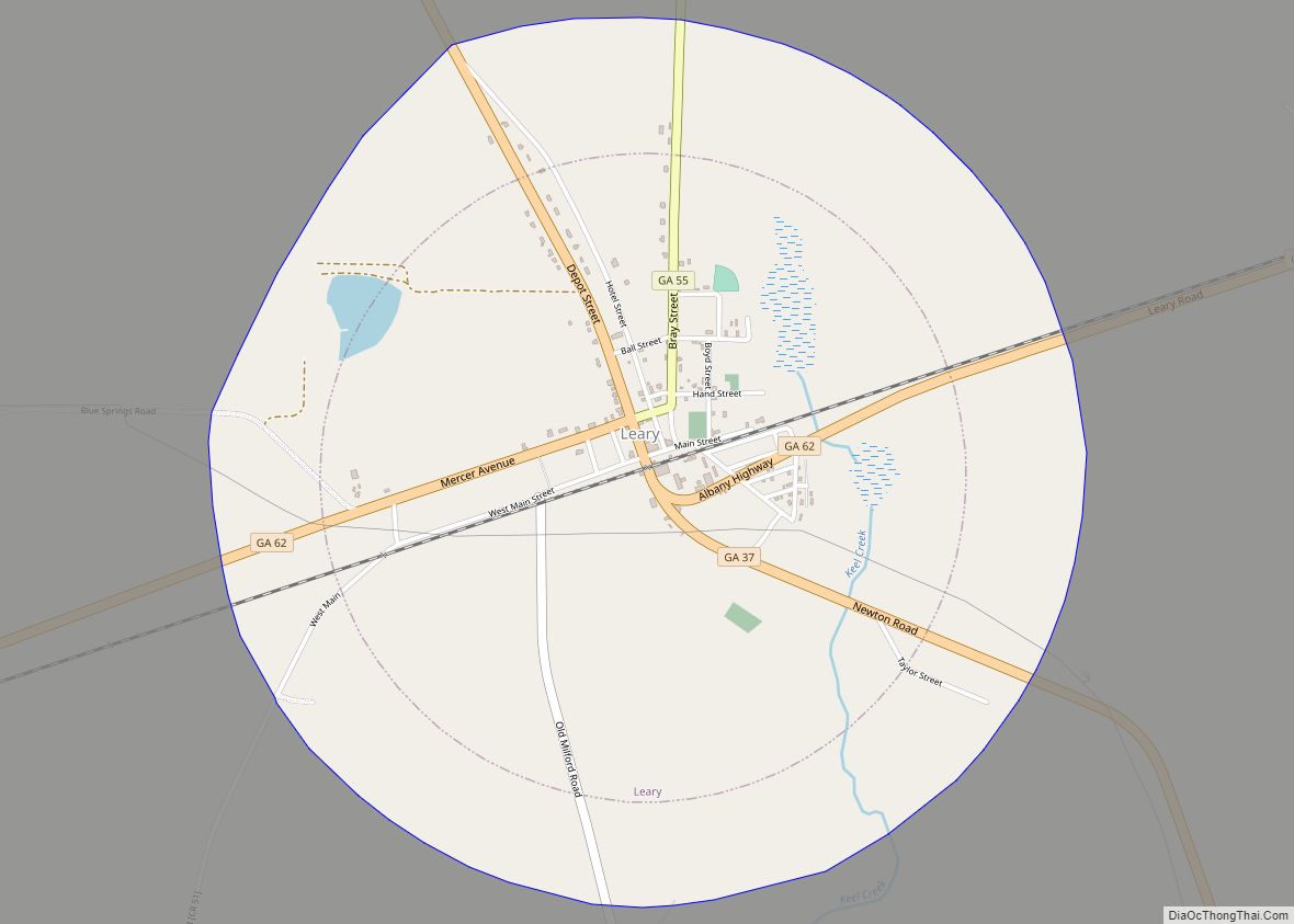
Rival political factions disagreed about whether the county seat should be in Concord, a community north of present-day Leary, or in Dickey, then known as Whitney. As a compromise, a spot halfway between Concord and Whitney was chosen for the county seat, and the town of Morgan was established there.
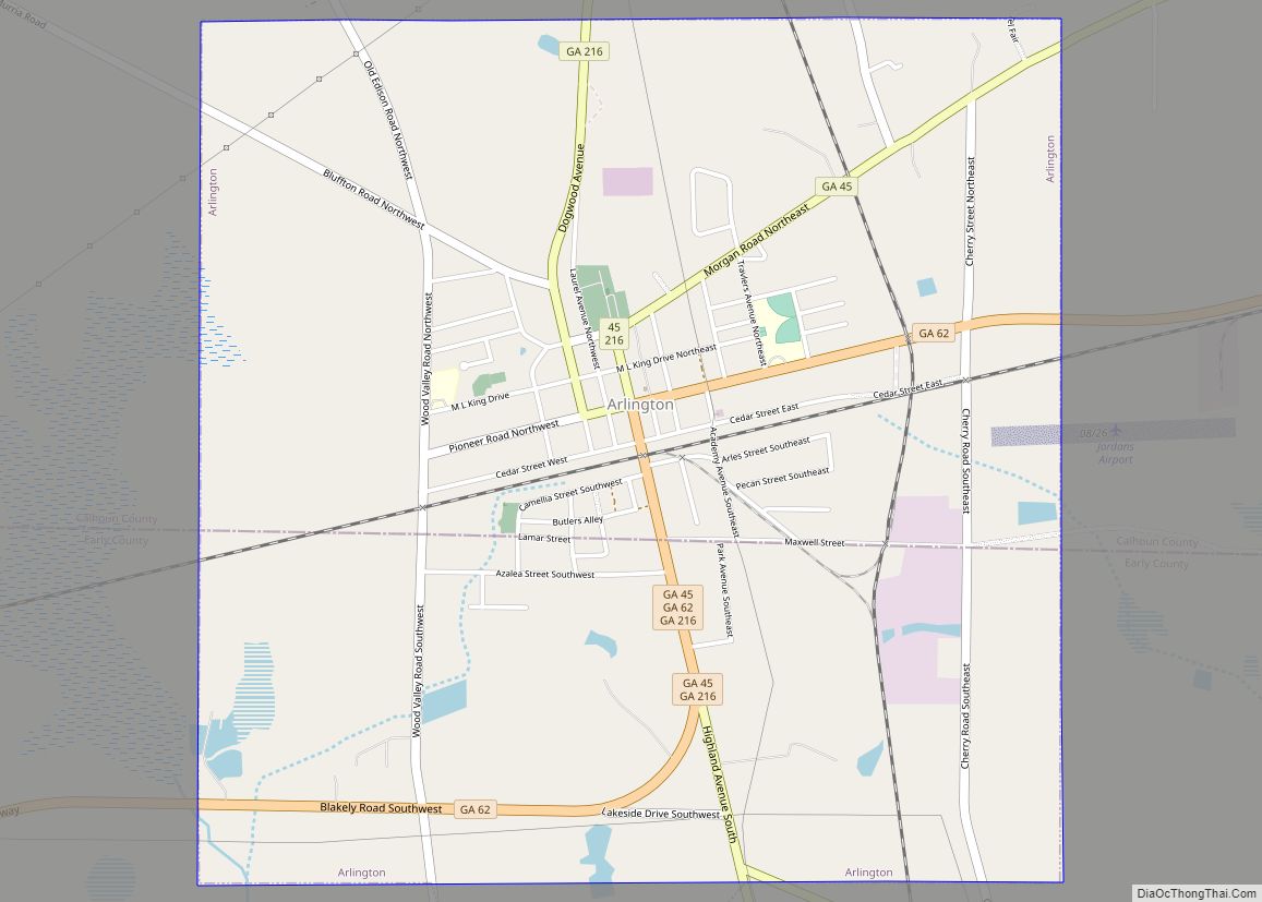
In 1923 the state legislature moved the county seat to Arlington as directed by a county referendum. This decision was reversed in 1929, restoring Morgan as the county seat.
Calhoun Memorial Hospital, a 25-bed critical access hospital in Arlington originally founded as a Hill-Burton hospital, closed in 2013 after 62 years of operation.
In 2008, members of the Downtown Business Authority in Arlington founded the South Georgia Regional Information Technology Authority (SGRITA) with help from the state government to provide wireless broadband service to several counties in rural southwest Georgia. In 2017 SGRITA moved its office to Blakely in Early County.
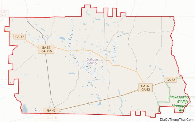
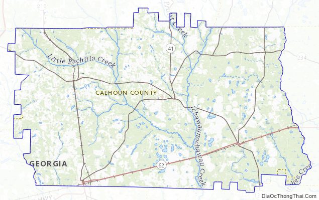
Calhoun County Road Map
Geography
The county seat is Morgan, where the historic Calhoun County Courthouse is located.
According to the U.S. Census Bureau, the county has a total area of 284 square miles (740 km), of which 280 square miles (730 km) is land and 3.2 square miles (8.3 km) (1.1%) is water.
The vast majority of Calhoun County is in the Ichawaynochaway Creek sub-basin of the ACF River Basin (Apalachicola-Chattahoochee-Flint River Basin). The county’s western and southwestern corner, from Arlington running northwest to west of Edison, is in the Spring Creek sub-basin of the same larger ACF River Basin.
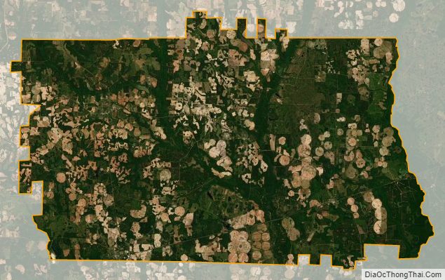
The United States Department of Agriculture has designated most of the county’s land as prime farmland. Agricultural, forestry, and wildlife plantations line the county’s eastern edge.
Adjacent counties
- Terrell County (northeast)
- Dougherty County (east)
- Baker County (southeast)
- Early County (southwest)
- Clay County (west)
- Randolph County (northwest)
Calhoun County Topographic Map
Calhoun County Satellite Map
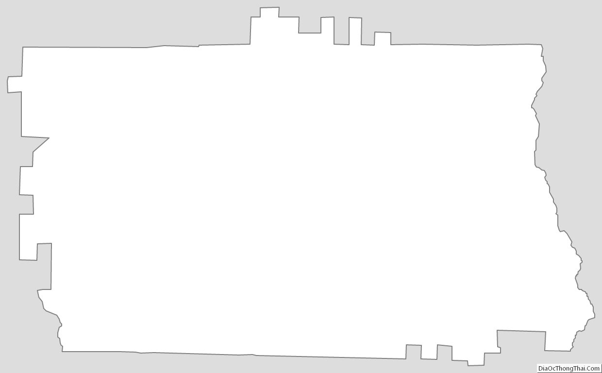
Calhoun County Outline Map