| Name: | Rich County |
|---|---|
| FIPS code: | 49-033 |
| State: | Utah |
| Founded: | 1864 |
| Named for: | Charles C. Rich |
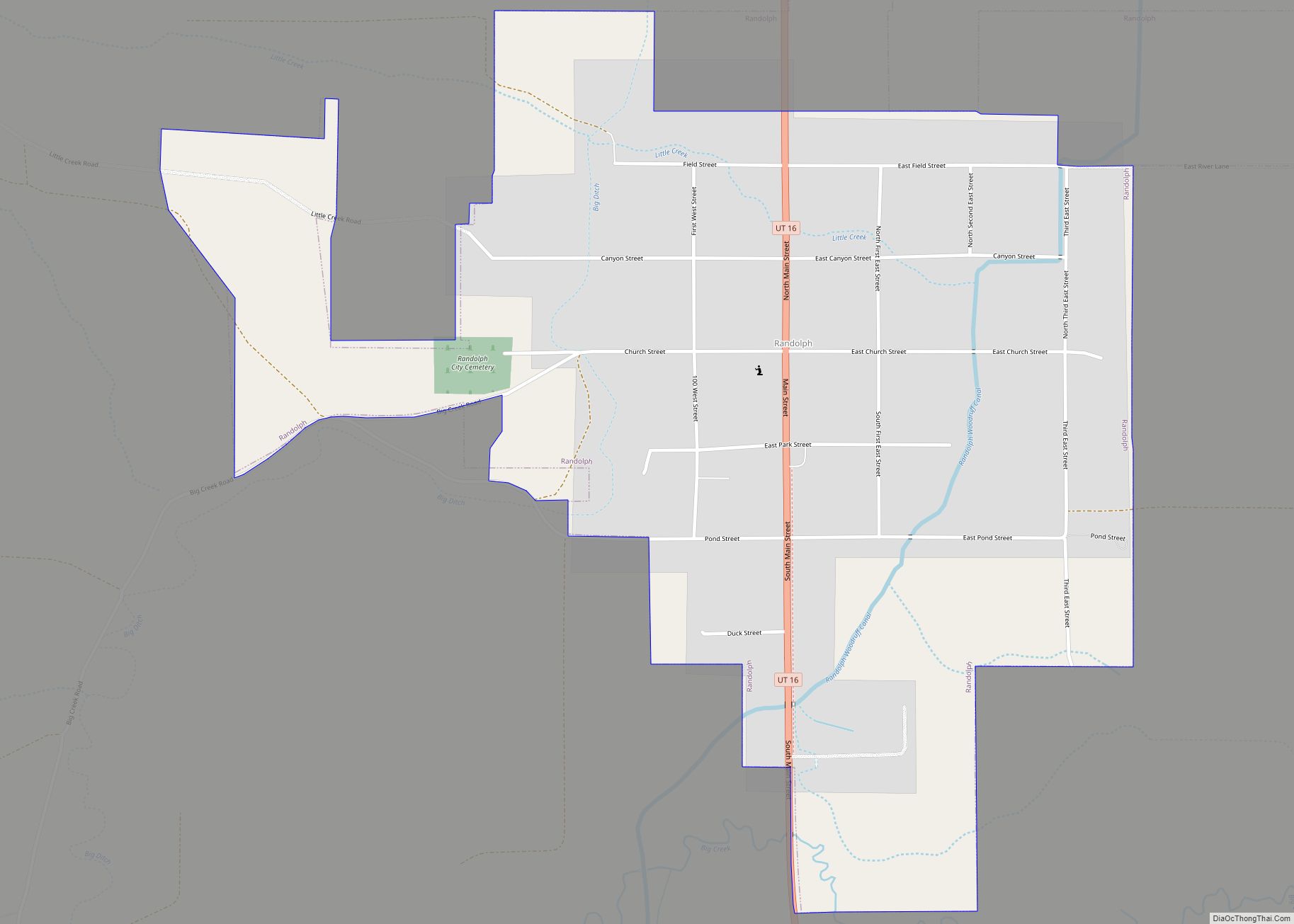
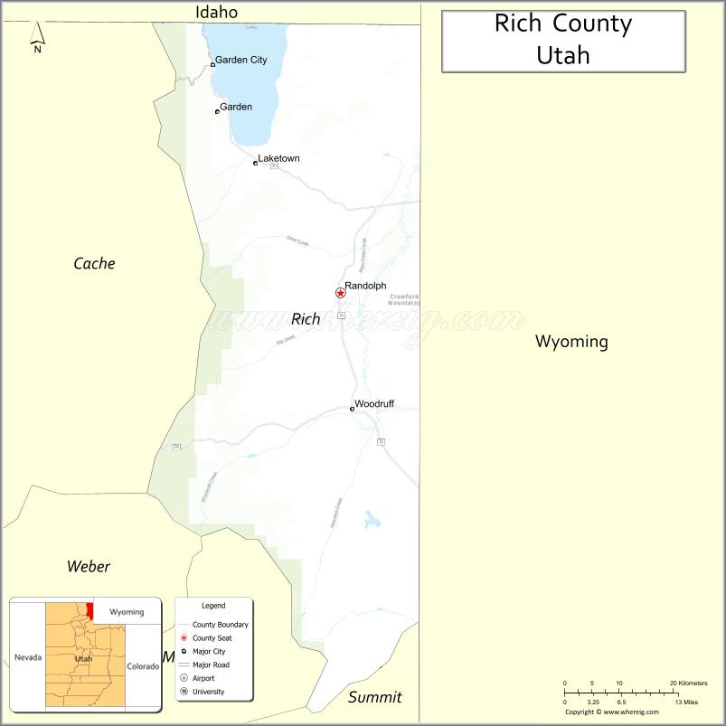
| Seat: | Randolph |
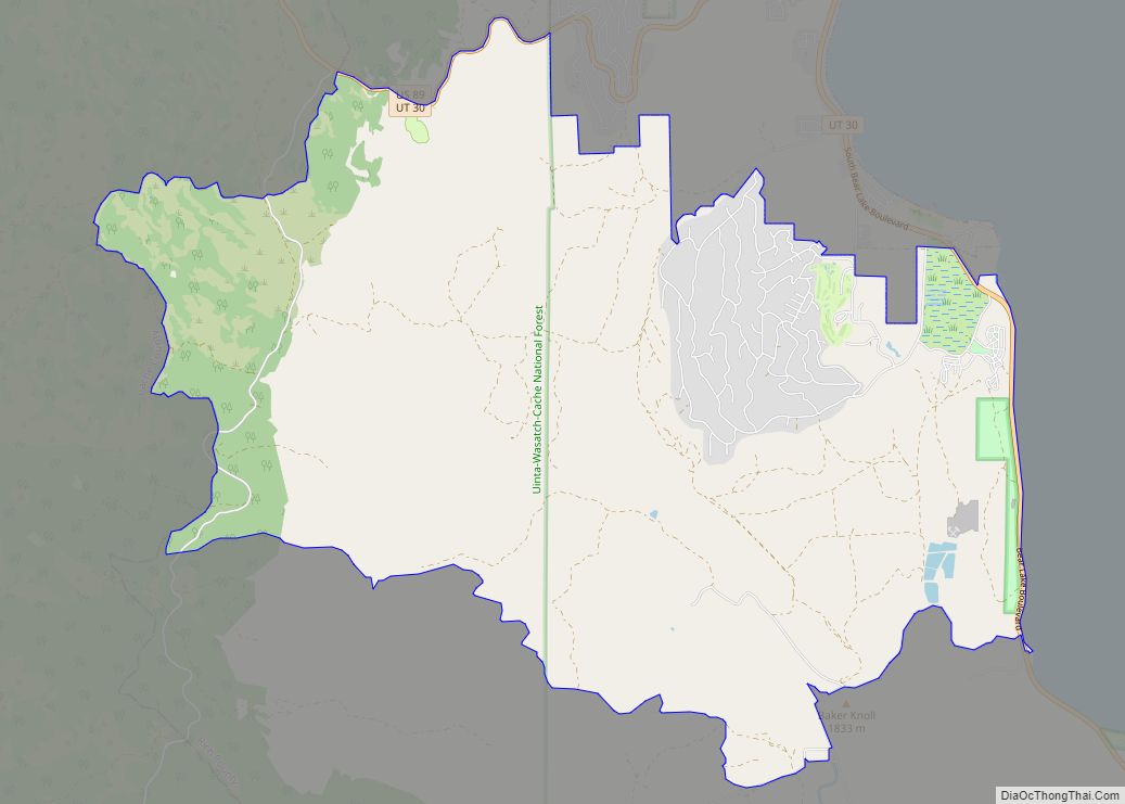
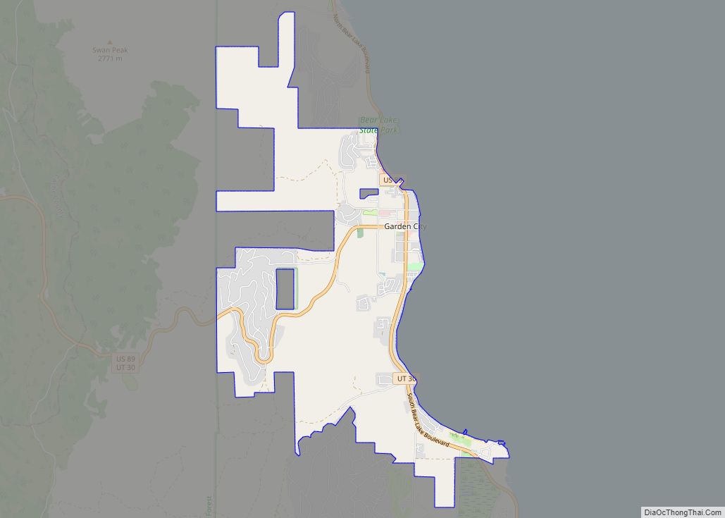
| Largest town: | Garden City |
| Total Area: | 1,086 sq mi (2,810 km²) |
| Land Area: | 1,029 sq mi (2,670 km²) |
| Total Population: | 2,510 |
| Population Density: | 2.4/sq mi (0.9/km²) |
| Time zone: | UTC−7 (Mountain) |
| Summer Time Zone (DST): | UTC−6 (MDT) |
| Website: | www.richcountyut.org |
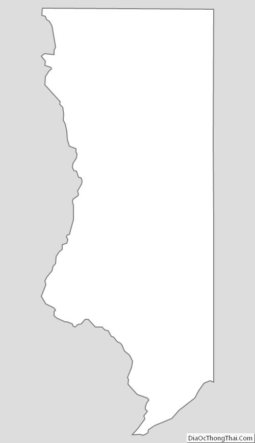
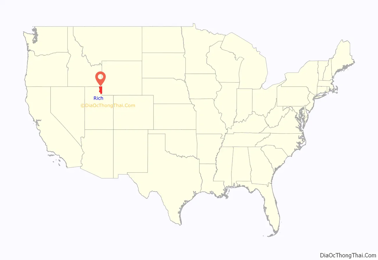
Rich County location map. Where is Rich County?

History
Rich County was believed to have first been visited by European-descended explorers in 1811, when trapper Joseph Miller discovered the Bear River. In 1827, the first annual rendezvous of trappers occurred on the south shore of Bear Lake, a tradition that is still marked today. The site is also preserved as part of Bear Lake State Park. The Oregon Trail, a heavily traveled route to the Northwest Territories, passed through the upper part of the future county (as defined by its original description). Many emigrants traveling to the NW Territories also traveled around the south end of Bear Lake instead of hewing to the more heavily traveled route through present-day Idaho, although this adds to the Oregon Trail is usually not shown on maps of the route. The Utah Territory had been initially settled by Mormon pioneers beginning in 1847, but no Mormons moved into the Rich County area until after 1862. The US Congress passed the Homestead Act of 1862, opening this area to settlement. Mormon leader Brigham Young, fearing this would lead to an influx of non-Mormons, called members of his flock to move to the area and begin its settlement. The first settlement within the county’s present boundary was Round Valley in 1863; located southwest of Laketown (settled 1864), it is now a ghost town. Randolph was settled in 1870. Originally created as Richland County on January 16, 1864, the name was shortened to Rich on January 29, 1868, by the 17th Utah Territorial Legislature. The boundary as originally defined extended beyond Utah into southwestern Wyoming and southeast Idaho. However, on July 25, 1868, the Wyoming Territory was created by the federal government, and all of the Rich County area east of the 111-degree line of longitude became part of the new territory and thus was lost to Rich. The 1870 census for Rich County, Utah Territory enumerates a total of 1,672 residents in the eight Idaho communities of Bennington, Bloomington, Fish Haven, Liberty, Montpelier, Ovid, Paris and St. Charles. Utah Territory adjusted the county’s boundary on February 16, 1872, by moving a small portion previous Summit County into Rich. The final adjustment to county boundaries was made on January 5, 1875, when Idaho Territory took the eight aforementioned communities and others in the Bear Lake Valley to form Bear Lake County.
The present county building was constructed in Randolph in 1940.
Rich County Road Map
Geography
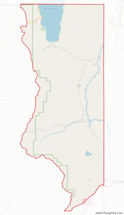
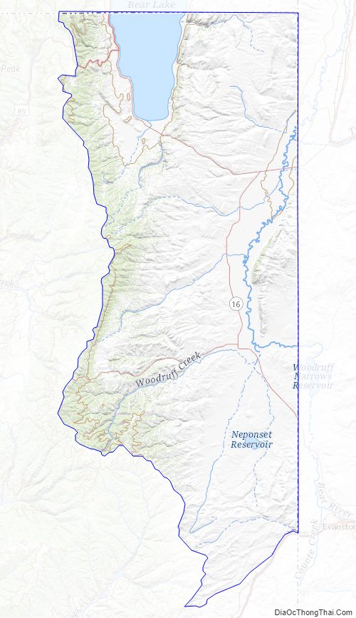
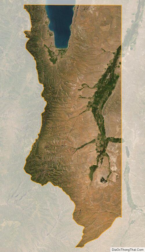
Rich County lies in the upper northeastern corner of Utah. Its northern border abuts the south border of the state of Idaho, and its east border abuts the west border of the state of Wyoming. The Bear River flows eastward out of the middle part of the county into Wyoming. The terrain is rugged, with less than ten percent of the area under cultivation. Over half of the county’s area is used for cattle grazing. The county terrain slopes from the Bear River Mountain crests which form its western border, toward the east. The highest point is along its northern border known as Bridger Peak, at 9,255′ (2820m) ASL. The county has a total area of 1,086 square miles (2,810 km), of which 1,029 square miles (2,670 km) is land and 58 square miles (150 km) (5.3%) is water.
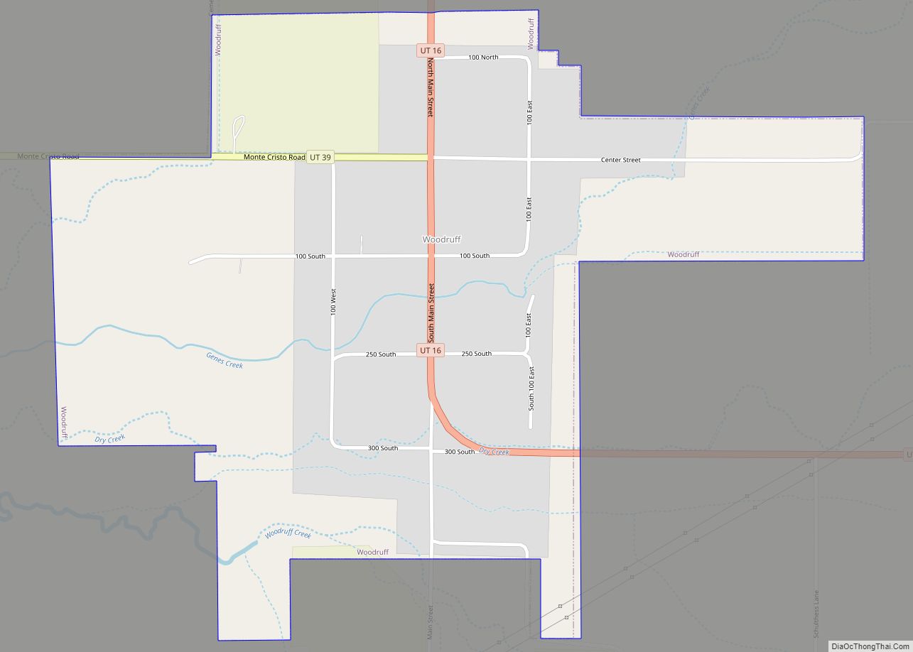
The Bear River Valley is created by the Bear River and consists of the east-central portion of the county. The towns of Randolph and Woodruff lie in this farming-oriented valley. Its high elevation makes this region one of the coldest areas in the state. Woodruff has a record low of −50 °F (−46 °C) and temperatures rarely exceed 90 °F (32 °C) during the summer. Snow is heavy in late autumn, winter, and early spring and remains on the ground for the entire winter.
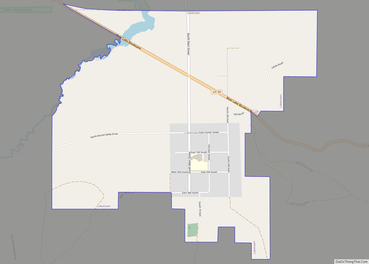
Further to the north lies the southern half of Bear Lake Valley, which contains Bear Lake. This lake is famous for its deep blue water, beaches, and surrounding mountains. The Bear River Mountains lies along the western edge of the county, and Logan Canyon opens up to the west of Garden City, which is a quaint tourist town that lies on the western edge of Bear Lake. Laketown lies at the southern edge of the lake. Three sections of the coastline are protected by Bear Lake State Park. The eastern slopes of the Bear River Range are an increasingly popular location for cabins.
In both major valleys, temperature inversions are a major problem during winter. These temperature inversions can bring extremely cold temperatures, fog, smog, and haze to the valleys, lasting for weeks at a time.
Major highways
- U.S. Route 89 descends from the Bear River Mountains through Logan Canyon and turns north at Garden City along the Bear Lake shoreline.
- State Route 16 heads south from Sage Creek Junction through Randolph and Woodruff before entering Wyoming northwest of Evanston.
- State Route 30 heads south from Garden City through Laketown and climbs east through the mountains to the Wyoming border.
- State Route 39 heads west into the Wasatch Range from Woodruff on its way to Huntsville and eventually Ogden. However, this highway is closed through the mountains during the winter months as heavy snow blocks the road.
- Interstate 80 lies in Summit County near the Rich County border but is only accessible from Rich County through Wyoming.
Adjacent counties
- Bear Lake County, Idaho – north
- Lincoln County, Wyoming – northeast
- Uinta County, Wyoming – southeast
- Summit County – south
- Morgan County – southwest
- Weber County – west
- Cache County – west
- Franklin County, Idaho – northwest
Protected areas
- Cache National Forest (part)
- Bear Lake State Park
- Rendezvous Beach State Park
- Bear Lake Marina State Park
- East Side State Park
Lakes
- Basin Beaver Ponds
- Bear Lake (part)
- Big Spring (in Round Valley)
- Birch Creek Reservoirs
- Birch Creek Reservoir #1
- Birch Creek Reservoir #2
- Blue Grass Pond
- Bluff Spring
- Bug Lake
- Cheney Springs
- Chicken Spring
- Cold Spring
- Cook Reservoir
- Crane Reservoir
- Dairy Ridge Reservoir
- Dry Basin Reservoir
- Dry Canyon Spring
- Dry Hollow Reservoir
- Dry Lake
- Duck Creek Red Spring
- Eagle Springs
- Falula Spring
- Green Fork Reservoir
- Green Fork Sink
- Hatch Spring
- Higgins Hollow Reservoir
- Jacobsen Springs
- Jebo Spring
- Jebo Troughs Spring
- Kearl Reservoir
- Kearl Spring
- Keg Spring (in McKay Hollow)
- Lamb Canyon Spring
- Lewis Spring
- Limestone Reservoir
- Little Crawford Spring
- Little Creek Reservoir
- Little Long Hill Reservoir
- Live Slough
- Lodgepole Reservoir
- Longhurst Spring
- Lower North Eden Reservoir
- McKinnon Spring
- Millie Spring
- Mud Spring (near South Lake)
- Negro Dan Spring
- Neponset Reservoir
- Nick Reservoir
- North Cheney Spring
- North Lake
- Peggy Hollow Spring
- Petes Spring
- Phosphate Spring
- Rabbit Spring (near Big Bend Spring)
- Ranger Spring
- Red Springs
- Richardson Spring
- Rock Spring
- Sage Hollow Reservoir
- Saleratus Reservoir Number 1
- Saleratus Reservoir Number 2
- Saleratus Reservoir Number 3
- Shearing Corral Reservoir
- Six Bit Spring
- Sixmile Reservoir
- South Big Creek Reservoir Number 2
- South Eden Reservoir
- South Lake
- Southwick Spring
- Suttons Reservoir
- Swan Peak Pond
- Swan Spring
- Trough Spring
- Upper North Eden Reservoir
- Wheeler Spring
- Woodruff Reservoir
Rich County Topographic Map
Rich County Satellite Map
Rich County Outline Map