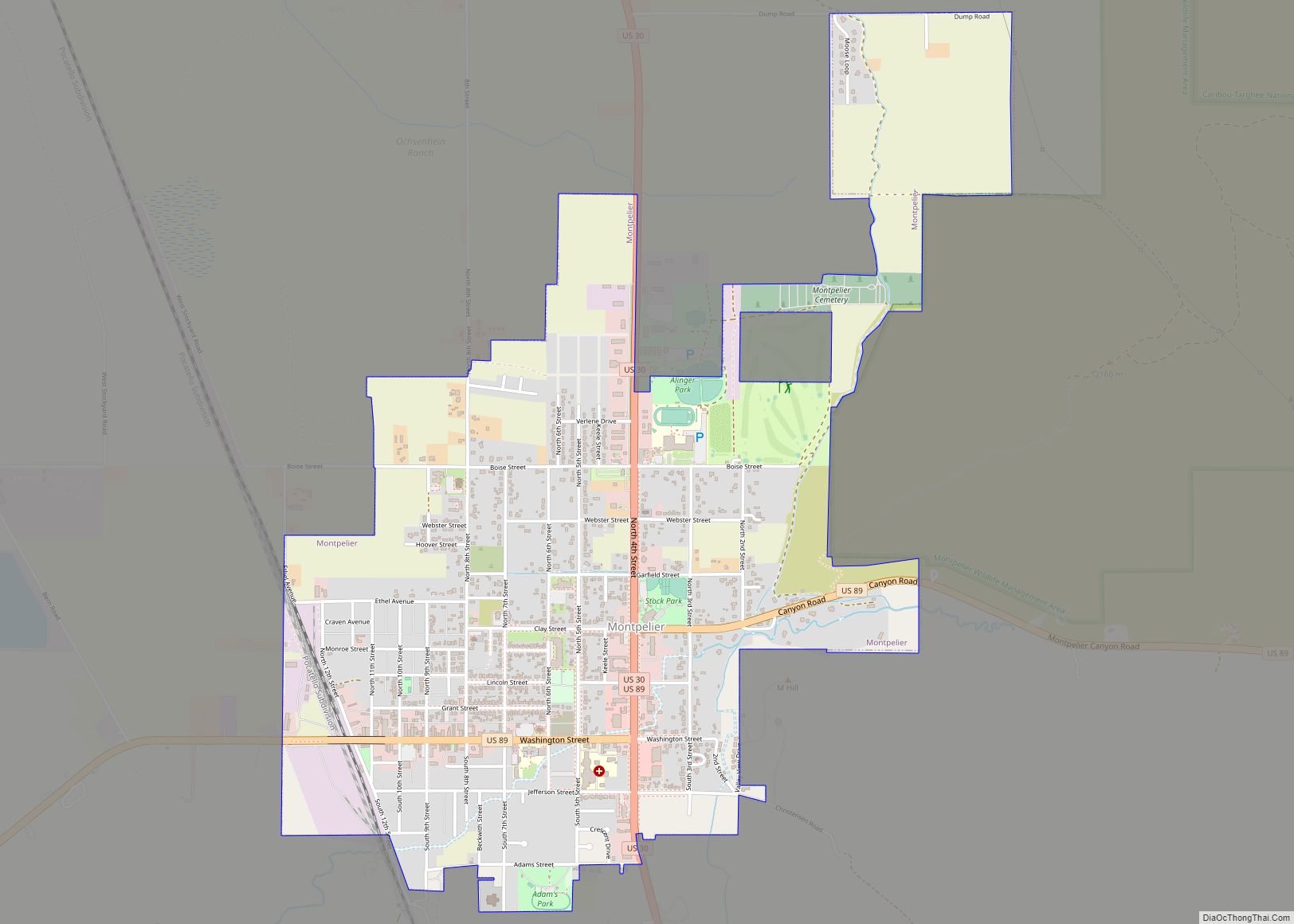
Montpelier is a city in Bear Lake County, Idaho, United States. The population was 2,538 at the 2019 estimation, down from 2,597 in 2010 census. The city is the largest community in the Bear Lake Valley, a farming region north of Bear Lake in southeastern Idaho along the Utah border. It was settled in 1863 by Mormon pioneers on the route of the Oregon Trail. Nearby to the east is the border with Wyoming.
| Name: | Montpelier city |
|---|---|
| LSAD Code: | 25 |
| LSAD Description: | city (suffix) |
| State: | Idaho |
| County: | Bear Lake County |
| Elevation: | 5,981 ft (1,823 m) |
| Total Area: | 2.32 sq mi (6.00 km²) |
| Land Area: | 2.32 sq mi (6.00 km²) |
| Water Area: | 0.00 sq mi (0.00 km²) |
| Total Population: | 2,597 |
| Population Density: | 1,094.91/sq mi (422.70/km²) |
| ZIP code: | 83220, 83254 |
| Area code: | 208, 986 |
| FIPS code: | 1653920 |
| GNISfeature ID: | 0396914 |
| Website: | montpelier.id.gov |
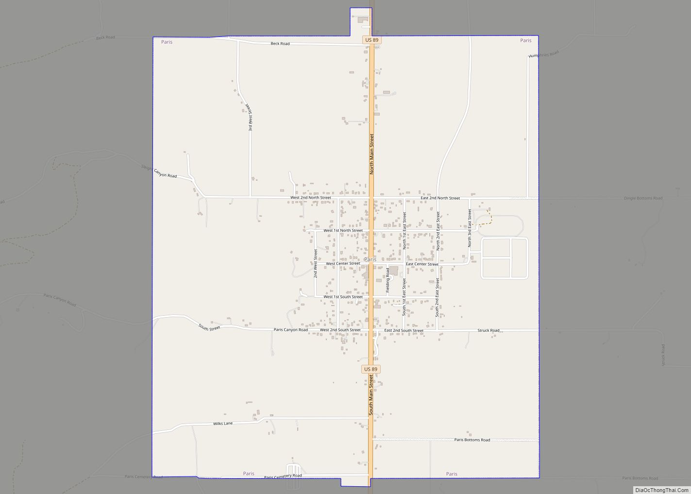
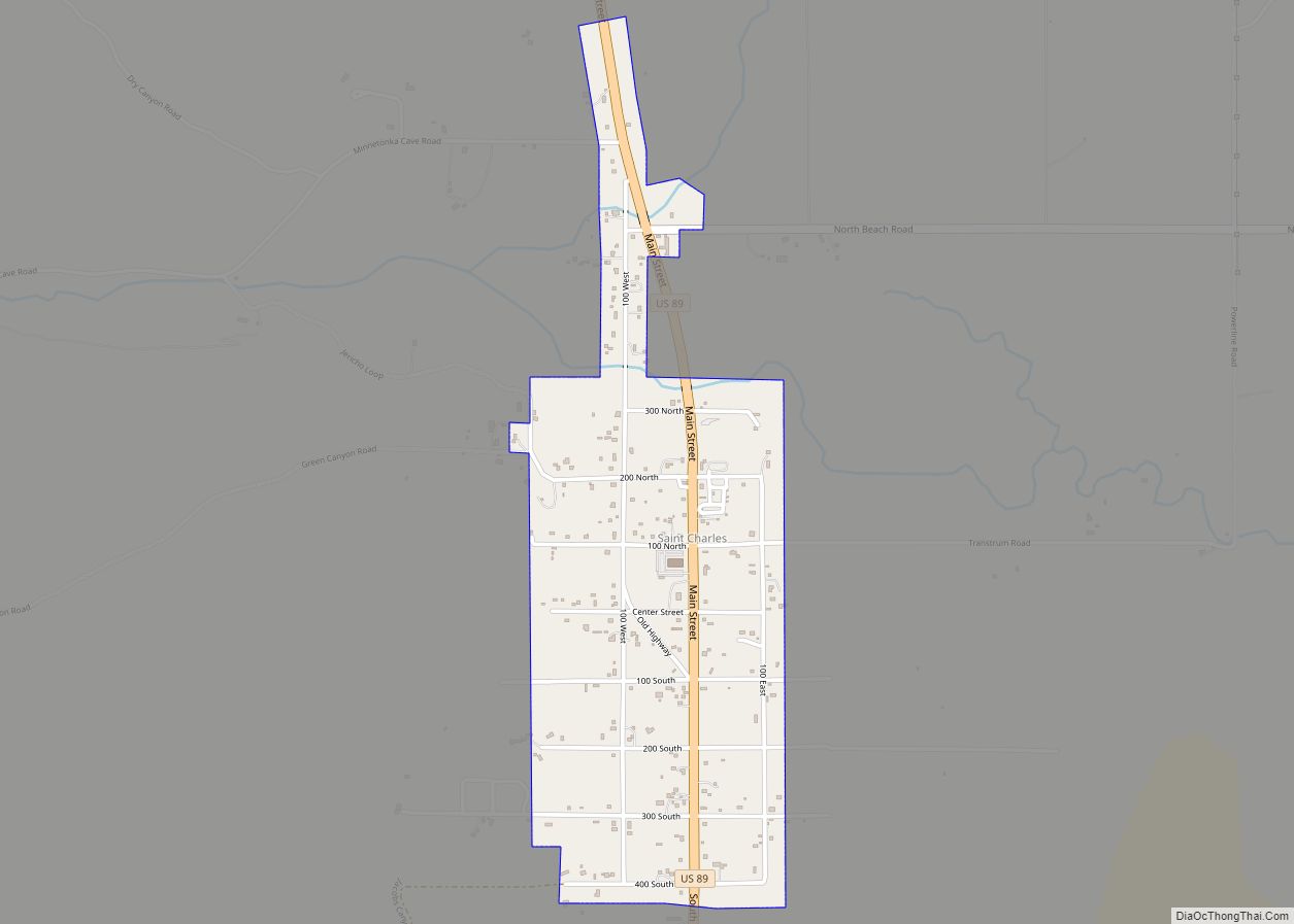
Online Interactive Map
Click on ![]() to view map in "full screen" mode.
to view map in "full screen" mode.
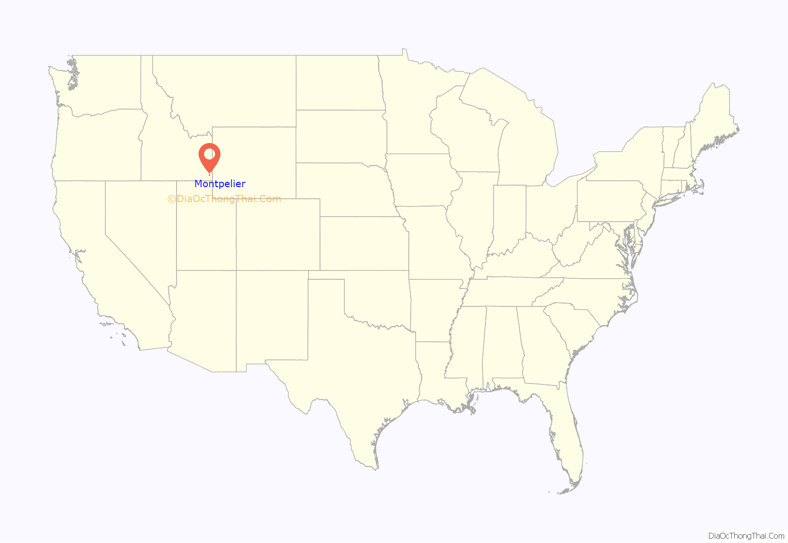
Montpelier location map. Where is Montpelier city?
History
As happened for many western towns, the name has been changed numerous times. First it was known as Clover Creek by Oregon Trail travelers, later it became Belmont and finally was given the name Montpelier by Brigham Young, one of the early leaders of the Church of Jesus Christ of Latter-day Saints (LDS Church), after the capital of his birth state of Vermont. The city was first settled in 1864.
The Oregon Short Line Railway started in Granger, Wyoming from the existing Union Pacific station, and reached Montpelier on August 5, 1882 (the rail line reached Huntington, Oregon in 1884). The terminal was located here until 1972. The railroad brought a population that made Montpelier the county’s “Gentile Town” as opposed to nearby Mormon-run Paris that was the county seat. Both cities would have tabernacles built in their city limits.
U.S. Routes 89 and 30 intersect in Montpelier.
In 1896, Montpelier was the site of a bank heist by Butch Cassidy and members of Butch Cassidy’s Wild Bunch, Elzy Lay and Henry “Bub” Meeks, who were supposedly trying to get enough money to bail out fellow gang member Matt Warner. This historical footnote has become a notable component of the town’s identity and is commemorated by a plaque on Washington Street (Highway 89).
The Montpelier Historic District is listed on the National Register of Historic Places. It includes four buildings: the city hall, a high school, the high school’s gymnasium, and an LDS church.
On 3 April 2022, LDS Prophet Russell M. Nelson announced that an LDS Temple would be built in Montpelier.
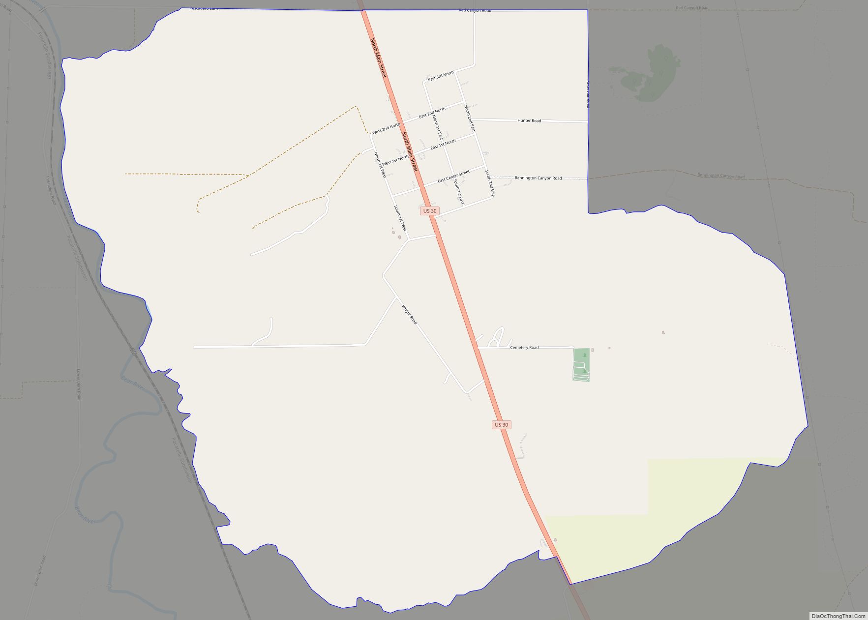
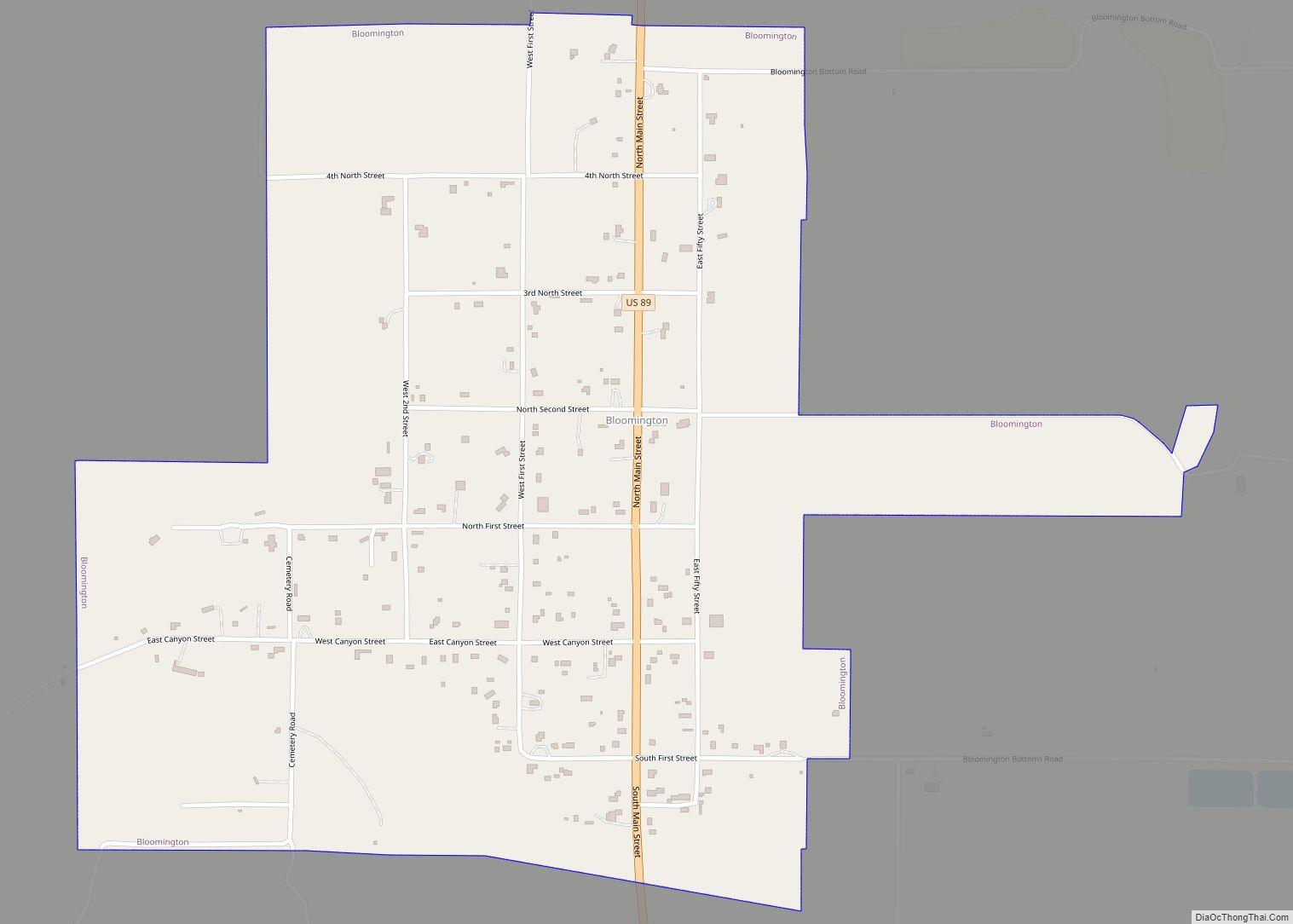
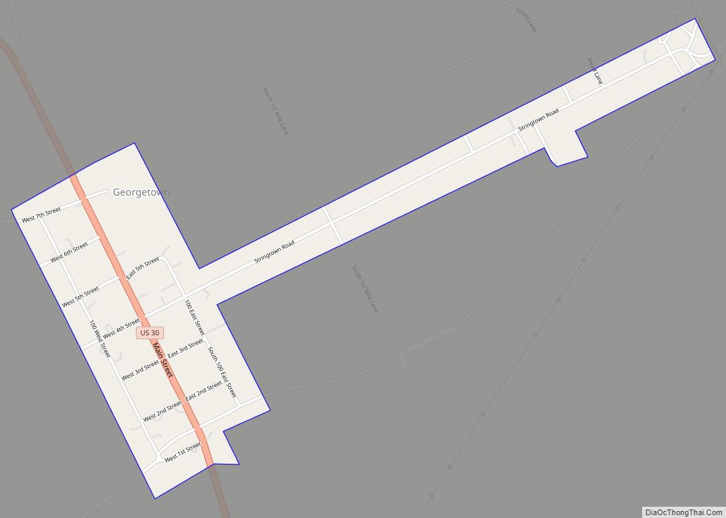
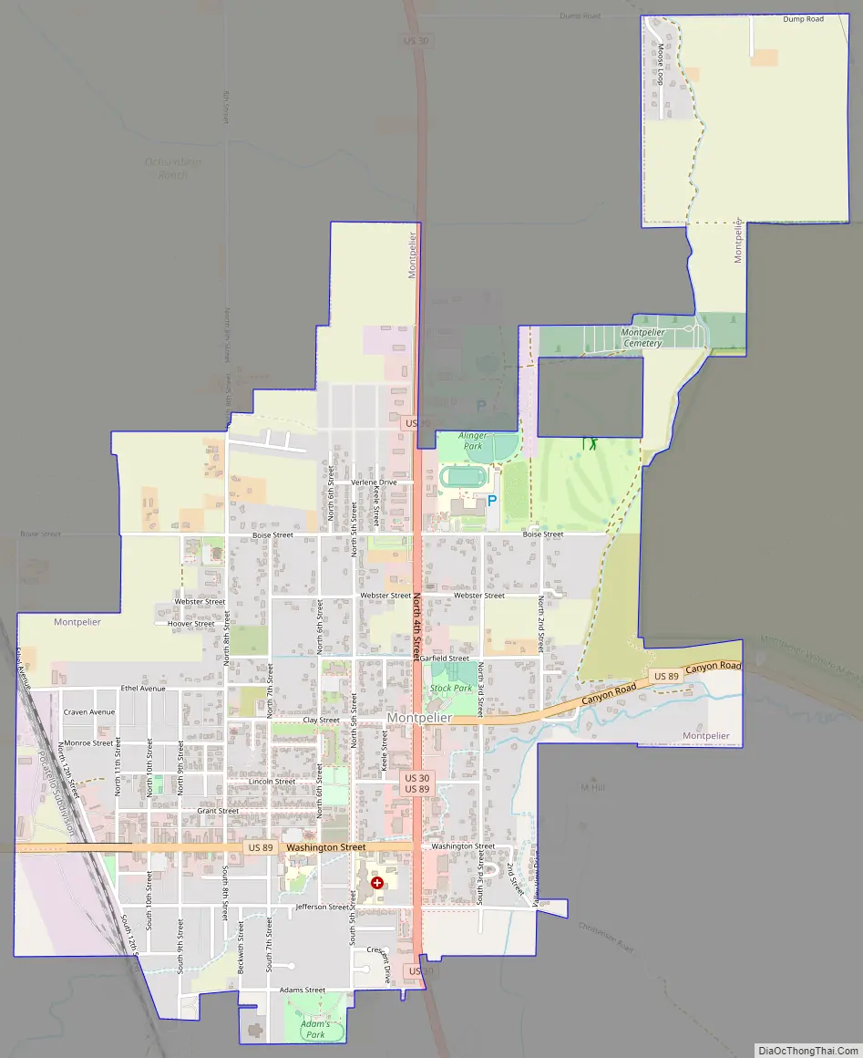
Montpelier Road Map
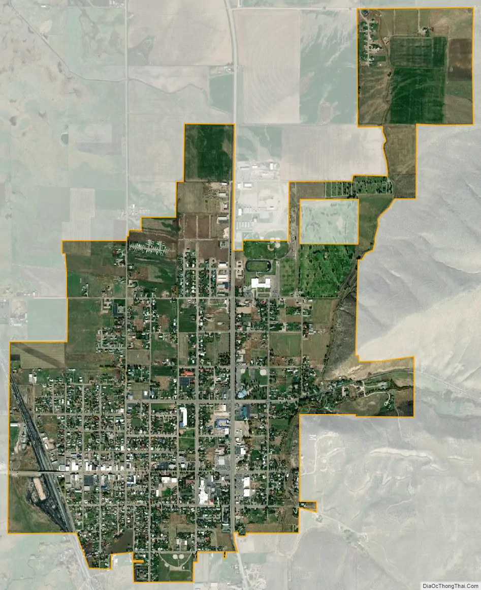
Montpelier city Satellite Map
Geography
Montpelier is located at 42°19′13″N 111°18′13″W / 42.32028°N 111.30361°W / 42.32028; -111.30361 (42.320416, -111.303703), at an elevation of 5,981 feet (1,823 m) above sea level.
According to the United States Census Bureau, the city has a total area of 2.33 square miles (6.03 km), all of it land.
Climate
According to the Köppen climate classification, Montpelier has a warm-summer humid continental climate (Köppen climate classification: Dfb).
See also
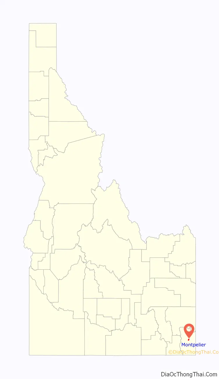
Map of Idaho State and its subdivision:- Ada
- Adams
- Bannock
- Bear Lake
- Benewah
- Bingham
- Blaine
- Boise
- Bonner
- Bonneville
- Boundary
- Butte
- Camas
- Canyon
- Caribou
- Cassia
- Clark
- Clearwater
- Custer
- Elmore
- Franklin
- Fremont
- Gem
- Gooding
- Idaho
- Jefferson
- Jerome
- Kootenai
- Latah
- Lemhi
- Lewis
- Lincoln
- Madison
- Minidoka
- Nez Perce
- Oneida
- Owyhee
- Payette
- Power
- Shoshone
- Teton
- Twin Falls
- Valley
- Washington
- Alabama
- Alaska
- Arizona
- Arkansas
- California
- Colorado
- Connecticut
- Delaware
- District of Columbia
- Florida
- Georgia
- Hawaii
- Idaho
- Illinois
- Indiana
- Iowa
- Kansas
- Kentucky
- Louisiana
- Maine
- Maryland
- Massachusetts
- Michigan
- Minnesota
- Mississippi
- Missouri
- Montana
- Nebraska
- Nevada
- New Hampshire
- New Jersey
- New Mexico
- New York
- North Carolina
- North Dakota
- Ohio
- Oklahoma
- Oregon
- Pennsylvania
- Rhode Island
- South Carolina
- South Dakota
- Tennessee
- Texas
- Utah
- Vermont
- Virginia
- Washington
- West Virginia
- Wisconsin
- Wyoming