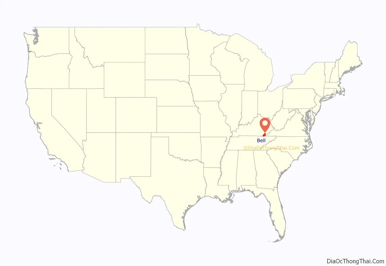
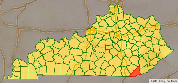
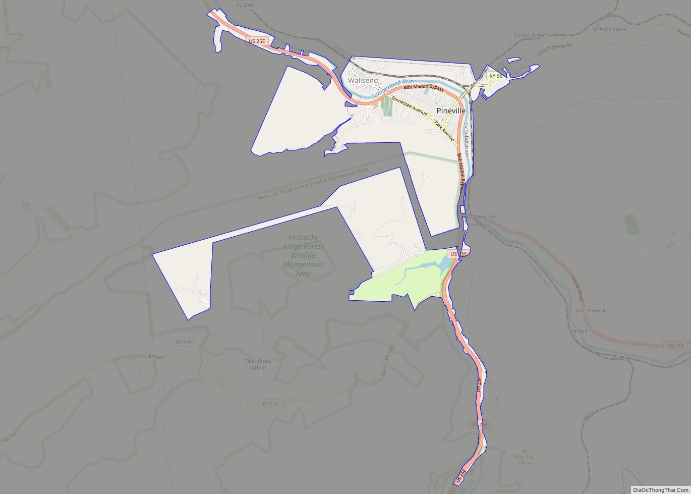
Bell County is a county located in the southeast part of the U.S. state of Kentucky. As of the 2020 census, the population was 24,097. Its county seat is Pineville. The county was formed in 1867, during the Reconstruction era from parts of Knox and Harlan counties and augmented from Knox County in 1872. The county is named for Joshua Fry Bell, a US Representative. It was originally called “Josh Bell”, but on January 31, 1873, the Kentucky legislature shortened the name to “Bell”,
| Name: | Bell County |
|---|---|
| FIPS code: | 21-013 |
| State: | Kentucky |
| Founded: | February 5, 1867 |
| Named for: | Joshua Fry Bell |
| Seat: | Pineville |
| Largest city: | Middlesboro |
| Total Area: | 361 sq mi (930 km²) |
| Land Area: | 359 sq mi (930 km²) |
| Total Population: | 24,097 |
| Population Density: | 67/sq mi (26/km²) |
| Time zone: | UTC−5 (Eastern) |
| Summer Time Zone (DST): | UTC−4 (EDT) |
| Website: | bellcounty.ky.gov/default.htm |
Bell County location map. Where is Bell County?
History
Bell County is considered a “Moist” county, a classification between dry and wet in terms of alcohol sales. The County changed to moist by a vote in September 2015, that approved alcohol-by-the-drink sales in Middlesboro, Kentucky. On June 23, 2020, Middlesboro voters approved a “wet” status by 1,215 to 653 votes. In a standard dry county, all sales of alcoholic beverages are prohibited. Under ABC terminology, a limited county is an otherwise dry county in which at least one city has approved the sale of alcohol by the drink at restaurants that both seat a state-mandated number of diners and derive no more than 30% of their revenue from alcoholic beverages. In the case of Bell County, Pineville had voted to allow alcohol by the drink in restaurants that seat at least 100 diners. This terminology was used to describe the area until the Middlesboro vote allowed retail sale of alcohol.
The Middlesborough, KY Micropolitan Statistical Area includes all of Bell County.
The Wilderness Road was constructed in 1775 through what is now Bell County.
Bell County was formed in 1867, from portions of Harlan and Knox counties. It was named for Joshua Fry Bell, an attorney and member of Congress. The county courthouse has been thrice destroyed. In 1914 and 1918, it was destroyed by fire and in 1977 nearly destroyed by flooding. The documents stored there were destroyed as well. The flood occurred in April 1977 and although it caused extensive damage, the historical courthouse survived with substantial water damage to the interior.
The community of “South America” (known as Frakes since the 1930s) in Bell County appears to have been established in the Spanish Era. Spain made land grants in Old Kentucky prior to English settlement. The community of South America links southeast Kentucky to an era of Indian herbal harvest and sales much like the Daniel Boone era in the state.
Bell County has one of the highest ratios of local peace officer deaths of any KY or U.S. county per capita, with 28 deputy sheriffs and 4 county sheriff’s K-9 having been killed in the county’s history. There has been considerable violence related to the prohibition of alcohol and production of moonshine.
Bell County is the only Kentucky county hosting both a State Park (Pine Mountain State Resort Park) and a National Monument (Cumberland Gap National Historical Park).
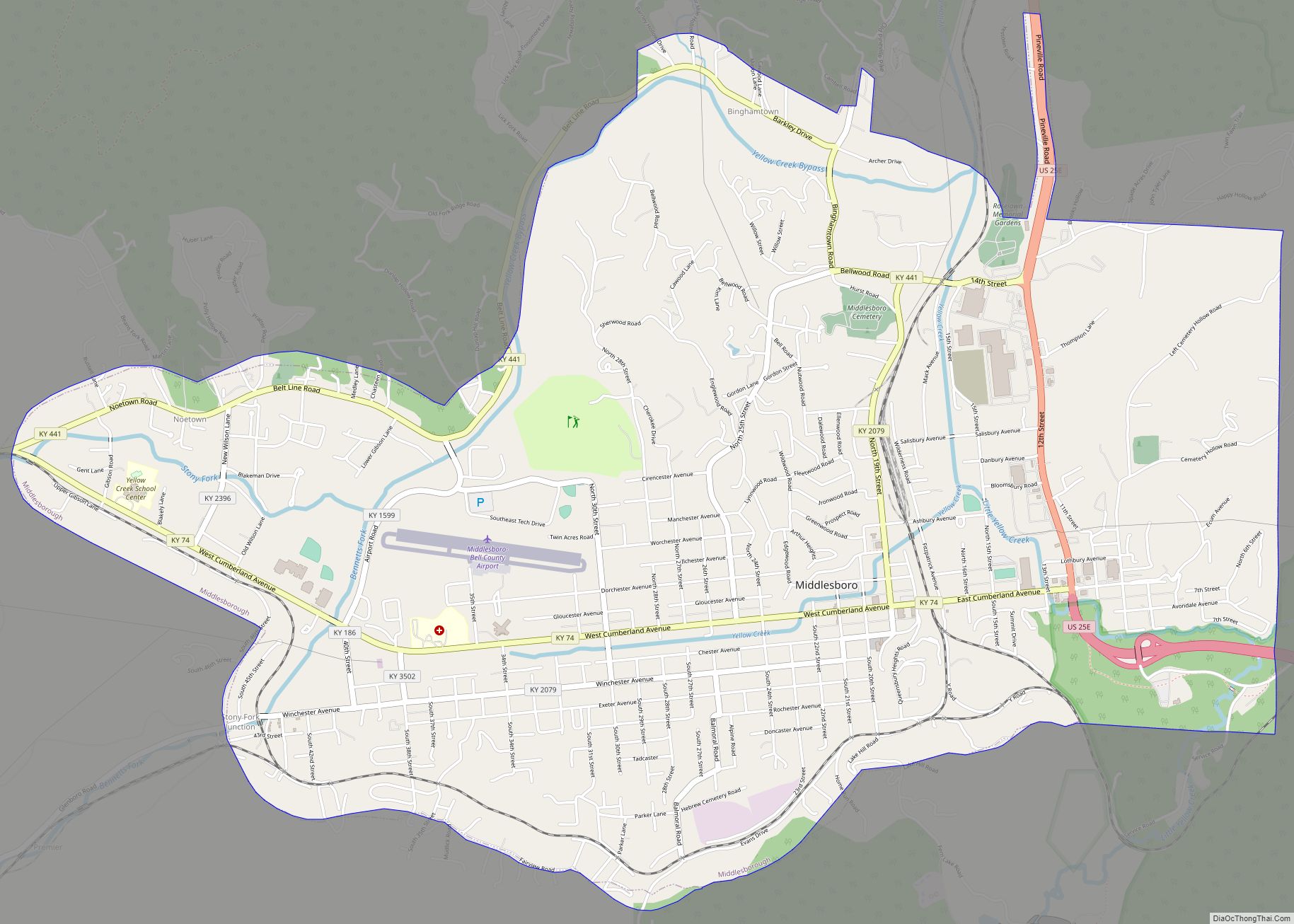
Bell County Road Map
Geography
According to the United States Census Bureau, the county has a total area of 361 square miles (930 km), of which 359 square miles (930 km) is land and 2.1 square miles (5.4 km) (0.6%) is water.
Adjacent counties
- Clay County (north)
- Leslie County (northeast)
- Harlan County (east)
- Lee County, Virginia (southeast)
- Claiborne County, Tennessee (south)
- Whitley County (southwest)
- Knox County (northwest)
National protected area
- Cumberland Gap National Historical Park (part)
