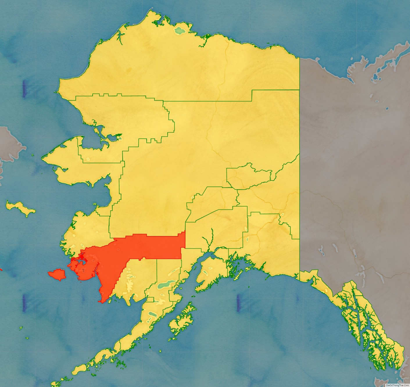
Bethel Census Area is a census area in the U.S. state of Alaska. As of the 2020 census, the population is 18,666, up from 17,013 in 2010. It is part of the unorganized borough and therefore has no borough seat. Its largest community is the city of Bethel, which is also the largest city in the unorganized borough.
| Name: | Bethel Census Area |
|---|---|
| FIPS code: | 02-050 |
| State: | Alaska |
| Largest city: | Bethel |
| Total Area: | 45,504 sq mi (117,850 km²) |
| Land Area: | 40,570 sq mi (105,100 km²) |
| Total Population: | 18,666 |
| Population Density: | 0.42/sq mi (0.16/km²) |
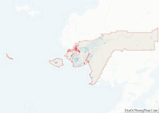
Bethel Census Area location map. Where is Bethel Census Area?
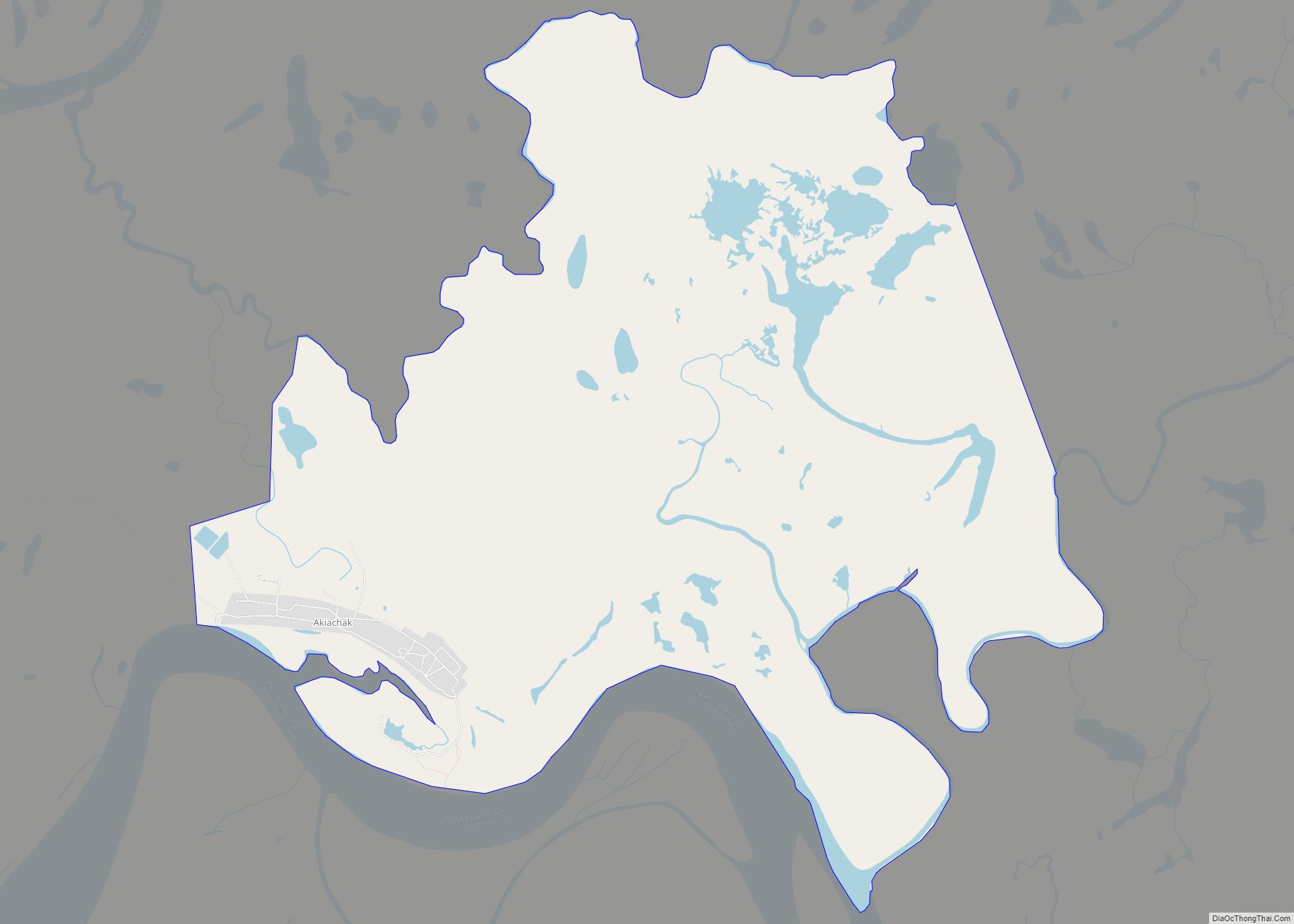
Bethel Census Area Road Map
Geography
According to the United States Census Bureau, the census area has an area of 45,504 square miles (117,850 km), of which 40,570 square miles (105,100 km) is land and 4,934 square miles (12,780 km) (10.8%) is water. Its territory includes the large Nunivak Island in the Bering Sea.
Its land area is comparable to that of Kentucky, which has an area of slightly under forty thousand square miles.
Adjacent boroughs and census areas
- Kusilvak Census Area, Alaska – northwest
- Yukon-Koyukuk Census Area, Alaska – north
- Matanuska-Susitna Borough, Alaska – east
- Kenai Peninsula Borough, Alaska – southeast
- Lake and Peninsula Borough, Alaska – south
- Dillingham Census Area, Alaska – south
National protected areas
- Alaska Maritime National Wildlife Refuge (part of the Bering Sea unit)
- Bering Sea Wilderness
- Lake Clark National Park and Preserve (part)
- Lake Clark Wilderness (part)
- Togiak National Wildlife Refuge (part)
- Togiak Wilderness (part)
- Yukon Delta National Wildlife Refuge (part)
- Nunivak Wilderness
