Akiak (ACK-ee-ack) (Central Yupik: Akiaq) is a city in Bethel Census Area, Alaska, United States. The population was 462 at the 2020 census, up from 346 in 2010. It is the home of the Akiak Native Community.
| Name: | Akiak city |
|---|---|
| LSAD Code: | 25 |
| LSAD Description: | city (suffix) |
| State: | Alaska |
| County: | Bethel Census Area |
| Incorporated: | July 9, 1970 |
| Elevation: | 13 ft (4 m) |
| Total Area: | 3.00 sq mi (7.77 km²) |
| Land Area: | 1.89 sq mi (4.89 km²) |
| Water Area: | 1.11 sq mi (2.88 km²) |
| Total Population: | 462 |
| Population Density: | 244.70/sq mi (94.48/km²) |
| ZIP code: | 99552 |
| Area code: | 907 |
| FIPS code: | 0200870 |
| GNISfeature ID: | 1398012 |
| Website: | akiaknativecommunity.org |
Online Interactive Map
Click on ![]() to view map in "full screen" mode.
to view map in "full screen" mode.
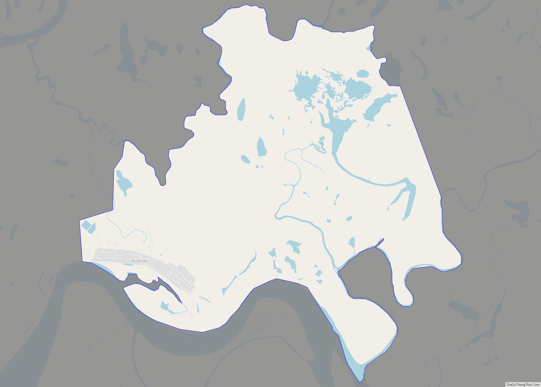
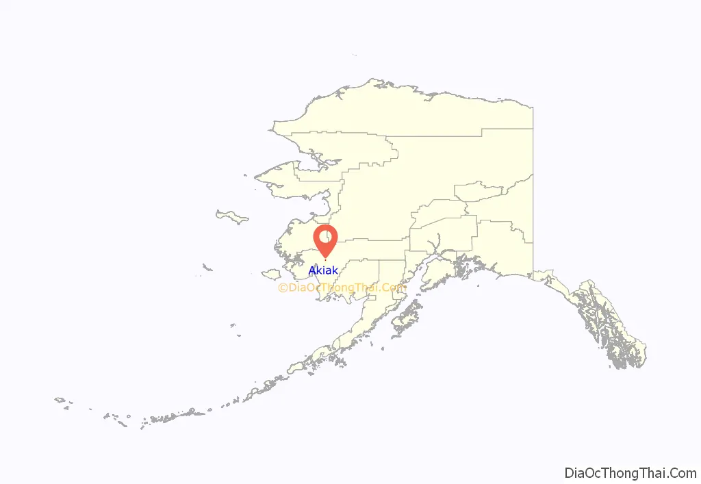
Akiak location map. Where is Akiak city?
History
In 1880, the village, then known as Akkiagamute, had a population of 175. The current name Akiak means “the other side,” since this place was a crossing to the Yukon River basin during the winter for area Yupiit. The community established a post office in 1916. The U.S. Public Health Service built a hospital in the 1920s. The city was incorporated in 1970. Akiak is a Yup’ik village with a reliance on subsistence and fishing activities.
Akiak Native Community
The Akiak Native Community is a federally recognized Alaska Native tribe located in Akiak.
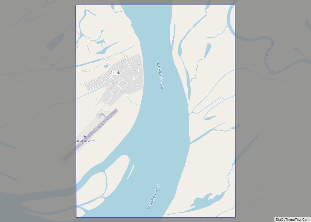
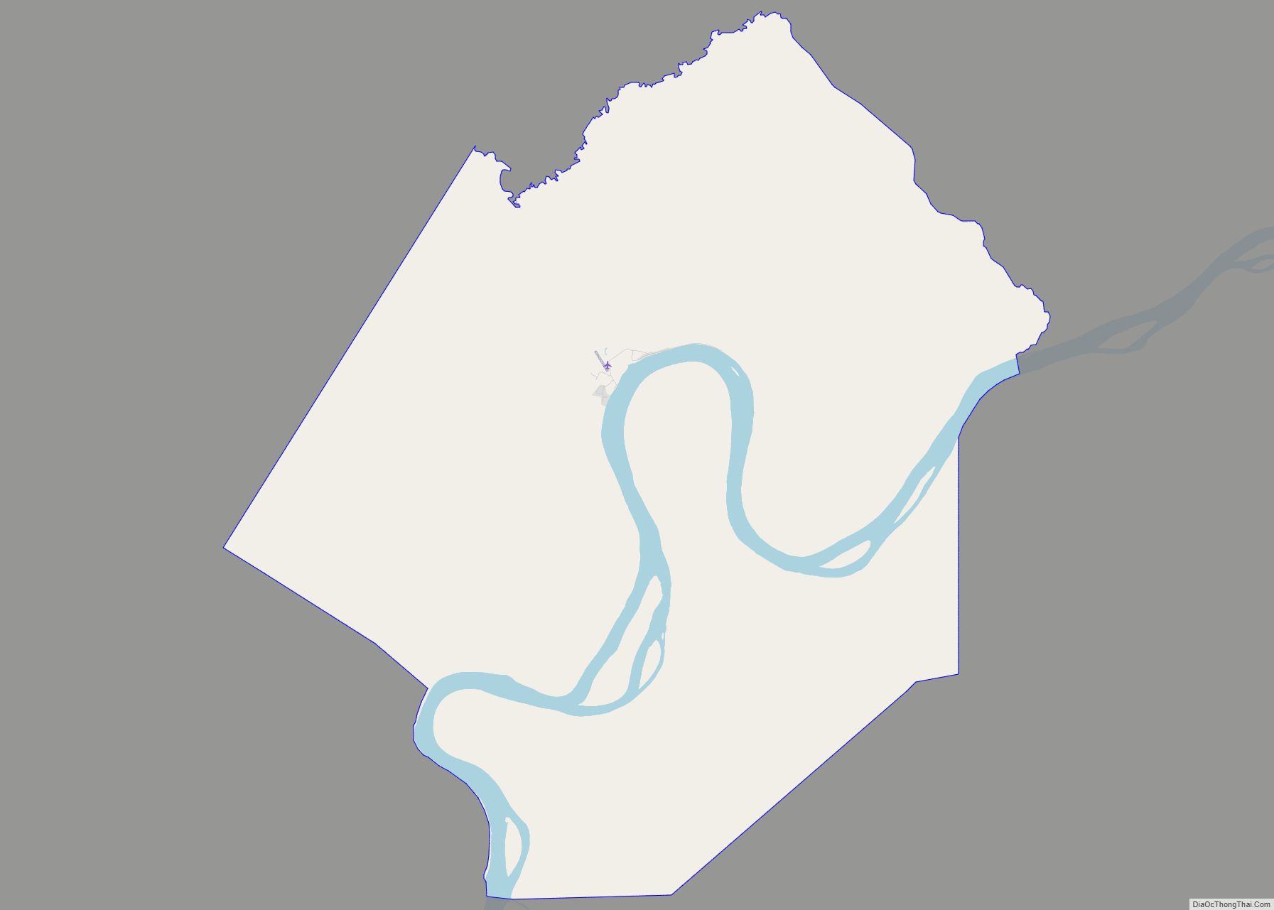
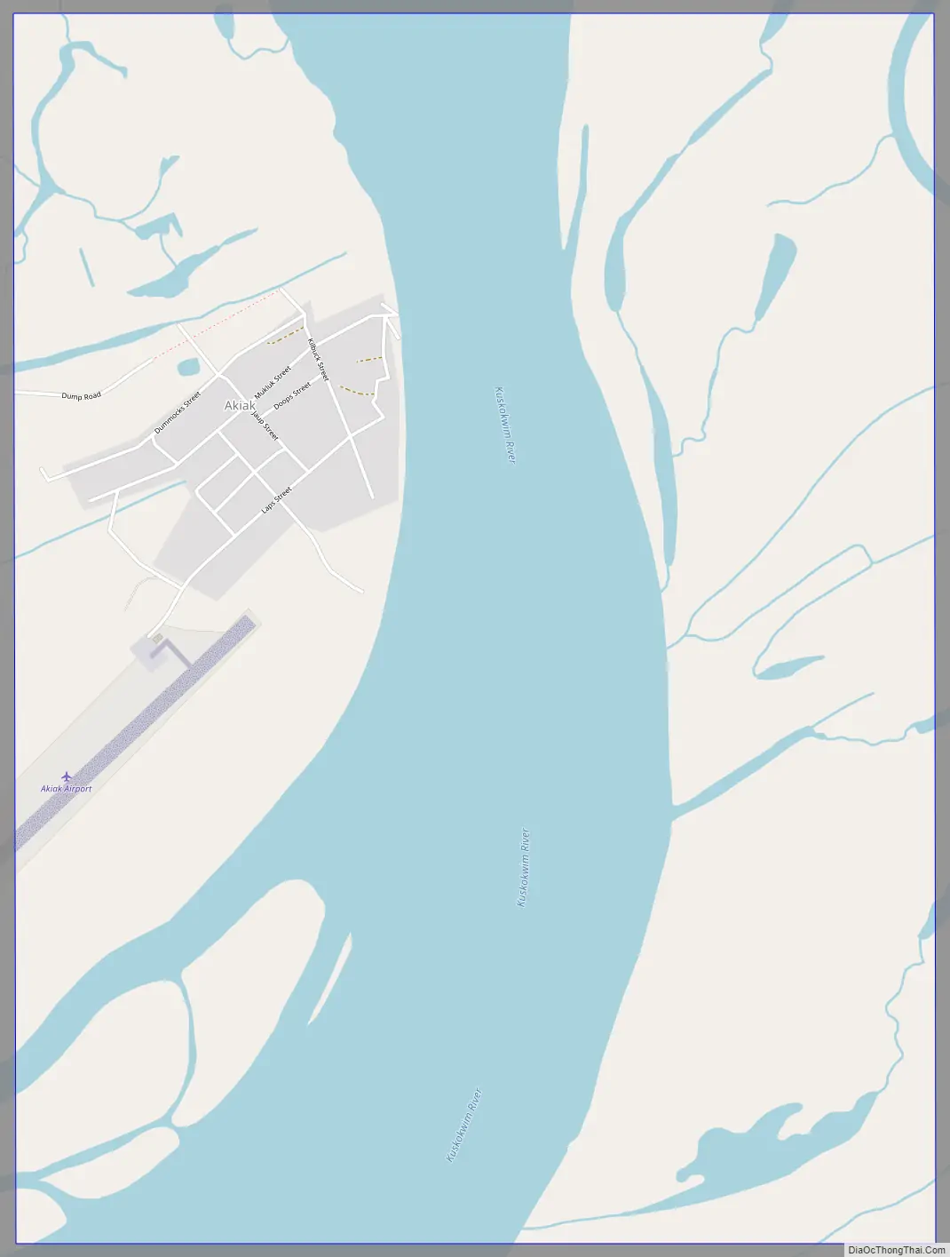
Akiak Road Map
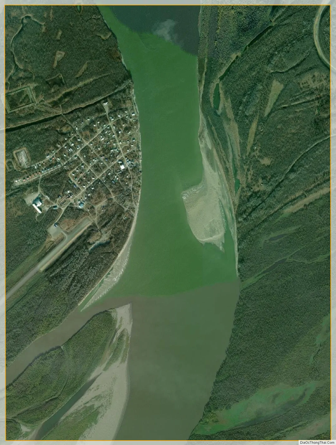
Akiak city Satellite Map
Geography
Akiak is located at 60°54′36″N 161°13′6″W / 60.91000°N 161.21833°W / 60.91000; -161.21833 (60.912220, -161.21389) (Sec. 32, T010N, R067W, Seward Meridian), on the west bank of the Kuskokwim River, 42 miles (68 km) northeast of Bethel, on the Yukon–Kuskokwim Delta. Akiak is located in the Bethel Recording District.
According to the U.S. Census Bureau, the city has a total area of 3.1 square miles (8.1 km), of which 2.1 square miles (5.4 km) is land and 1.0 square mile (2.6 km), or 32.58%, is water. Precipitation averages 16 inches (410 mm) in this area, with snowfall of 50 inches (1,300 mm). Summer temperatures range from 42 °F (6 °C) to 62 °F (17 °C). Winter temperatures range from −2 °F (−19 °C) to 19 °F (−7 °C).
See also
Map of Alaska State and its subdivision:- Aleutians East
- Aleutians West
- Anchorage
- Bethel
- Bristol Bay
- Denali
- Dillingham
- Fairbanks North Star
- Haines
- Juneau
- Kenai Peninsula
- Ketchikan Gateway
- Kodiak Island
- Lake and Peninsula
- Matanuska-Susitna
- Nome
- North Slope
- Northwest Arctic
- Prince of Wales-Outer Ketchi
- Sitka
- Skagway-Yakutat-Angoon
- Southeast Fairbanks
- Valdez-Cordova
- Wade Hampton
- Wrangell-Petersburg
- Yukon-Koyukuk
- Alabama
- Alaska
- Arizona
- Arkansas
- California
- Colorado
- Connecticut
- Delaware
- District of Columbia
- Florida
- Georgia
- Hawaii
- Idaho
- Illinois
- Indiana
- Iowa
- Kansas
- Kentucky
- Louisiana
- Maine
- Maryland
- Massachusetts
- Michigan
- Minnesota
- Mississippi
- Missouri
- Montana
- Nebraska
- Nevada
- New Hampshire
- New Jersey
- New Mexico
- New York
- North Carolina
- North Dakota
- Ohio
- Oklahoma
- Oregon
- Pennsylvania
- Rhode Island
- South Carolina
- South Dakota
- Tennessee
- Texas
- Utah
- Vermont
- Virginia
- Washington
- West Virginia
- Wisconsin
- Wyoming