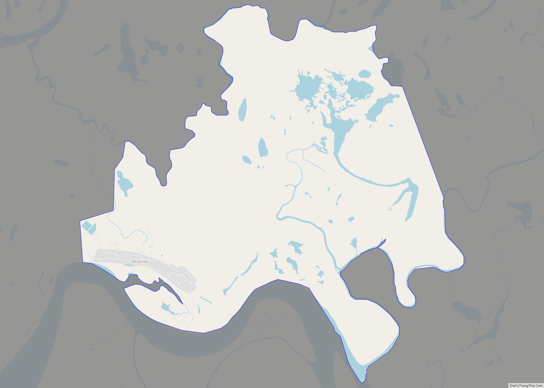
Akiachak (ACK-ee-uh-chuck; Central Yupik: Akiacuaq) is a census-designated place (CDP) in the Bethel Census Area in the U.S. state of Alaska. The population was 627 at the 2010 census, up from 585 in 2000.
| Name: | Akiachak CDP |
|---|---|
| LSAD Code: | 57 |
| LSAD Description: | CDP (suffix) |
| State: | Alaska |
| County: | Bethel Census Area |
| Elevation: | 13 ft (4 m) |
| Total Area: | 7.01 sq mi (18.16 km²) |
| Land Area: | 7.01 sq mi (18.16 km²) |
| Water Area: | 0.00 sq mi (0.00 km²) |
| Total Population: | 627 |
| Population Density: | 89/sq mi (35/km²) |
| ZIP code: | 99551 |
| Area code: | 907 |
| FIPS code: | 0200760 |
| GNISfeature ID: | 1398011 |
| Website: | akiachak.org |
Online Interactive Map
Click on ![]() to view map in "full screen" mode.
to view map in "full screen" mode.
Akiachak location map. Where is Akiachak CDP?

History
The Yup’ik peoples used this region as a seasonal subsistence site. Called Akiakchagamiut in the 1890 census, the village had a population of 43 then. A post office was established in 1934. It incorporated as a second-class city on February 7, 1974. The city government was dissolved in 1987, in favor of traditional village council governance.
A federally recognized Alaska Native tribal entity, the Akiachak Native Community, is located here. Akiachak is a Yup’ik Eskimo village with a fishing and subsistence lifestyle. It has a strong traditional community, and was the first city in Alaska to dissolve its city government in favor of the Native village government. The sale, importation and possession of alcohol are banned in the village.
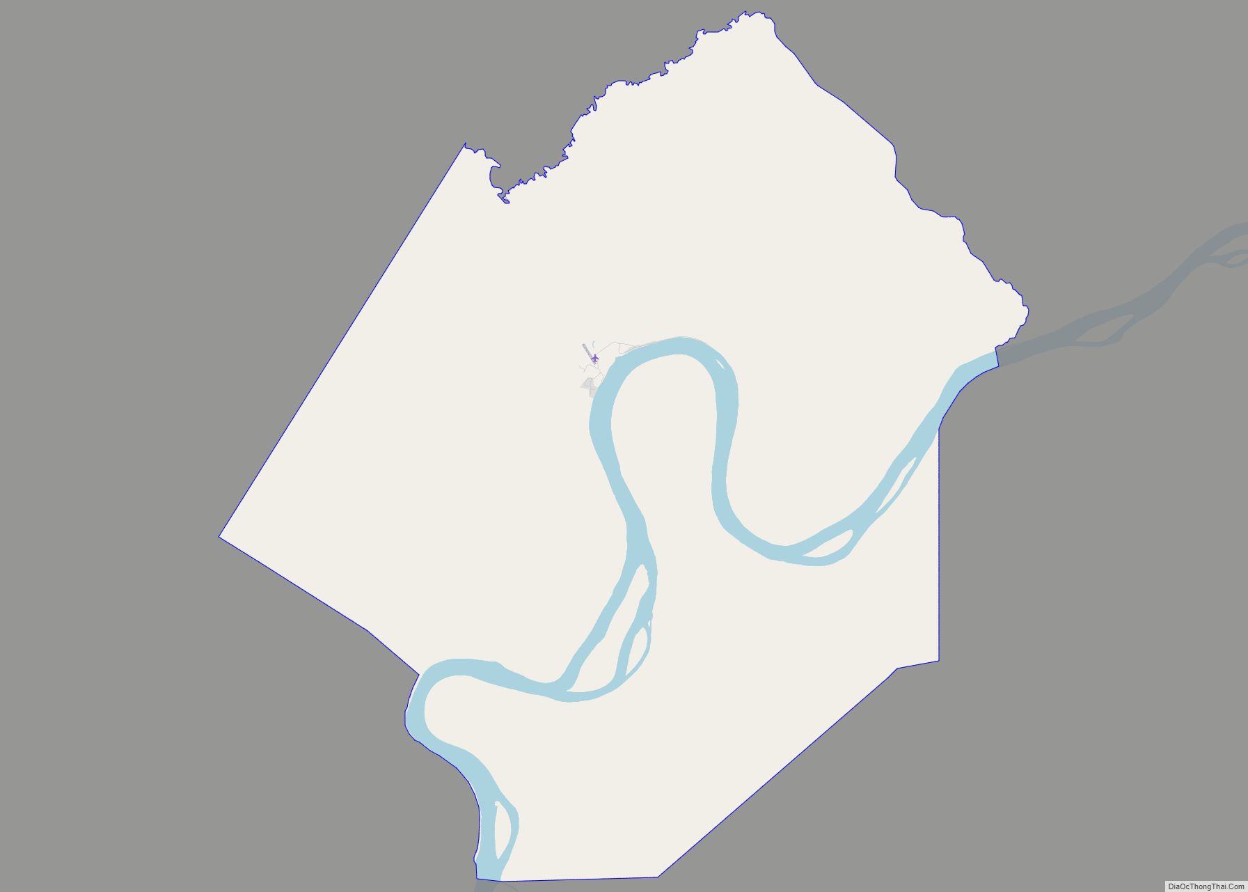
Akiachak Road Map
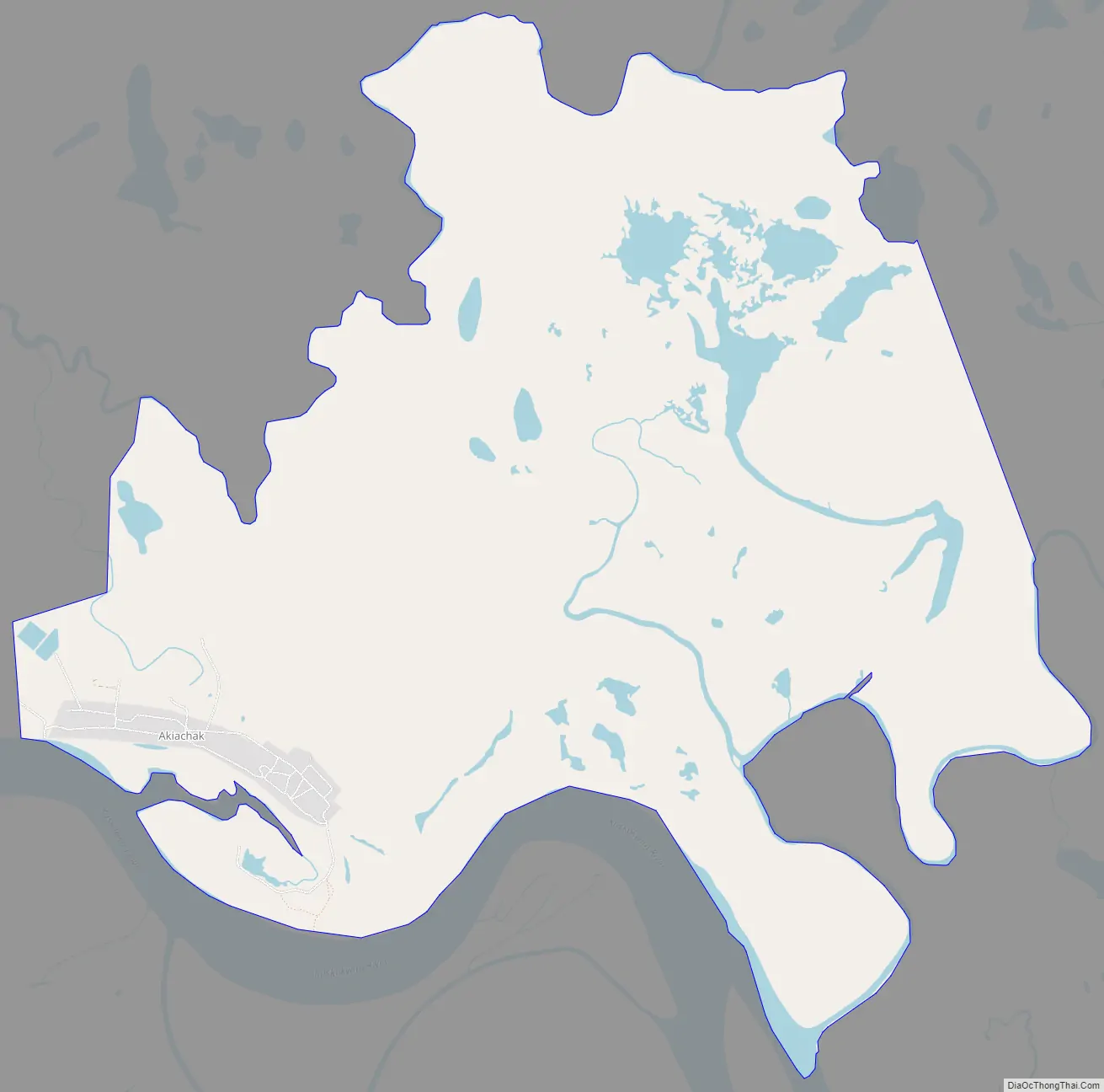
Akiachak city Satellite Map

Geography
Akiachak is located at 60°54′34″N 161°25′53″W / 60.90944°N 161.43139°W / 60.90944; -161.43139 (60.909440, -161.43139), Sec. 36, T010N, R069W, Seward Meridian) in the Bethel Recording District.
According to the U.S. Census Bureau, the CDP has a total area of 7.5 square miles (19.5 km), of which 0.008 square miles (0.02 km), or 0.11%, is water.
Akiachak is located on the west bank of the Kuskokwim River in the Yukon–Kuskokwim Delta, 18 miles (29 km) northeast of Bethel. The area averages 16 inches (40.64 cm) of precipitation, with snowfall of 50 inches (127.00 cm). Summer temperatures range from 42 to 62 °F (6 to 17 °C). Winter temperatures range from −2 to 19 °F (−19 to −7 °C).
See also
Map of Alaska State and its subdivision:- Aleutians East
- Aleutians West
- Anchorage
- Bethel
- Bristol Bay
- Denali
- Dillingham
- Fairbanks North Star
- Haines
- Juneau
- Kenai Peninsula
- Ketchikan Gateway
- Kodiak Island
- Lake and Peninsula
- Matanuska-Susitna
- Nome
- North Slope
- Northwest Arctic
- Prince of Wales-Outer Ketchi
- Sitka
- Skagway-Yakutat-Angoon
- Southeast Fairbanks
- Valdez-Cordova
- Wade Hampton
- Wrangell-Petersburg
- Yukon-Koyukuk
- Alabama
- Alaska
- Arizona
- Arkansas
- California
- Colorado
- Connecticut
- Delaware
- District of Columbia
- Florida
- Georgia
- Hawaii
- Idaho
- Illinois
- Indiana
- Iowa
- Kansas
- Kentucky
- Louisiana
- Maine
- Maryland
- Massachusetts
- Michigan
- Minnesota
- Mississippi
- Missouri
- Montana
- Nebraska
- Nevada
- New Hampshire
- New Jersey
- New Mexico
- New York
- North Carolina
- North Dakota
- Ohio
- Oklahoma
- Oregon
- Pennsylvania
- Rhode Island
- South Carolina
- South Dakota
- Tennessee
- Texas
- Utah
- Vermont
- Virginia
- Washington
- West Virginia
- Wisconsin
- Wyoming