Allouez is a village in Brown County in the U.S. state of Wisconsin. The population was 13,975 at the 2010 census. It is part of the Green Bay Metropolitan Statistical Area.
| Name: | Allouez village |
|---|---|
| LSAD Code: | 47 |
| LSAD Description: | village (suffix) |
| State: | Wisconsin |
| County: | Brown County |
| Elevation: | 597 ft (182 m) |
| Total Area: | 5.21 sq mi (13.48 km²) |
| Land Area: | 4.57 sq mi (11.82 km²) |
| Water Area: | 0.64 sq mi (1.66 km²) |
| Total Population: | 13,975 |
| Population Density: | 3,043.59/sq mi (1,175.03/km²) |
| ZIP code: | 54301 |
| Area code: | 920 |
| FIPS code: | 5501150 |
| GNISfeature ID: | 1560790 |
| Website: | villageofallouez.com |
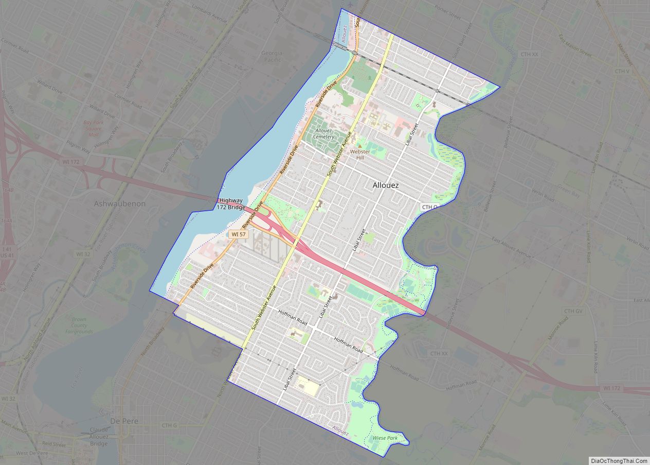
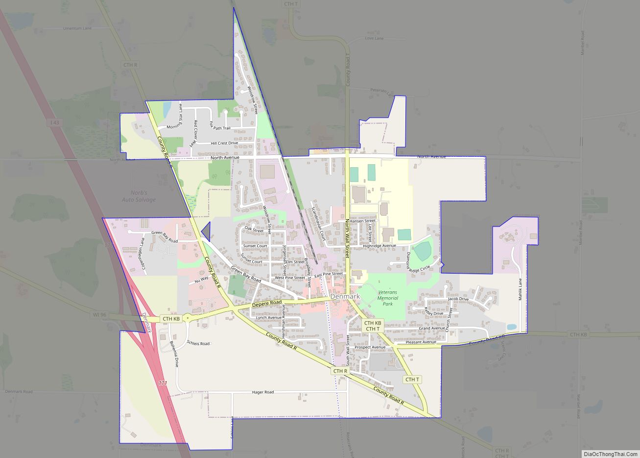
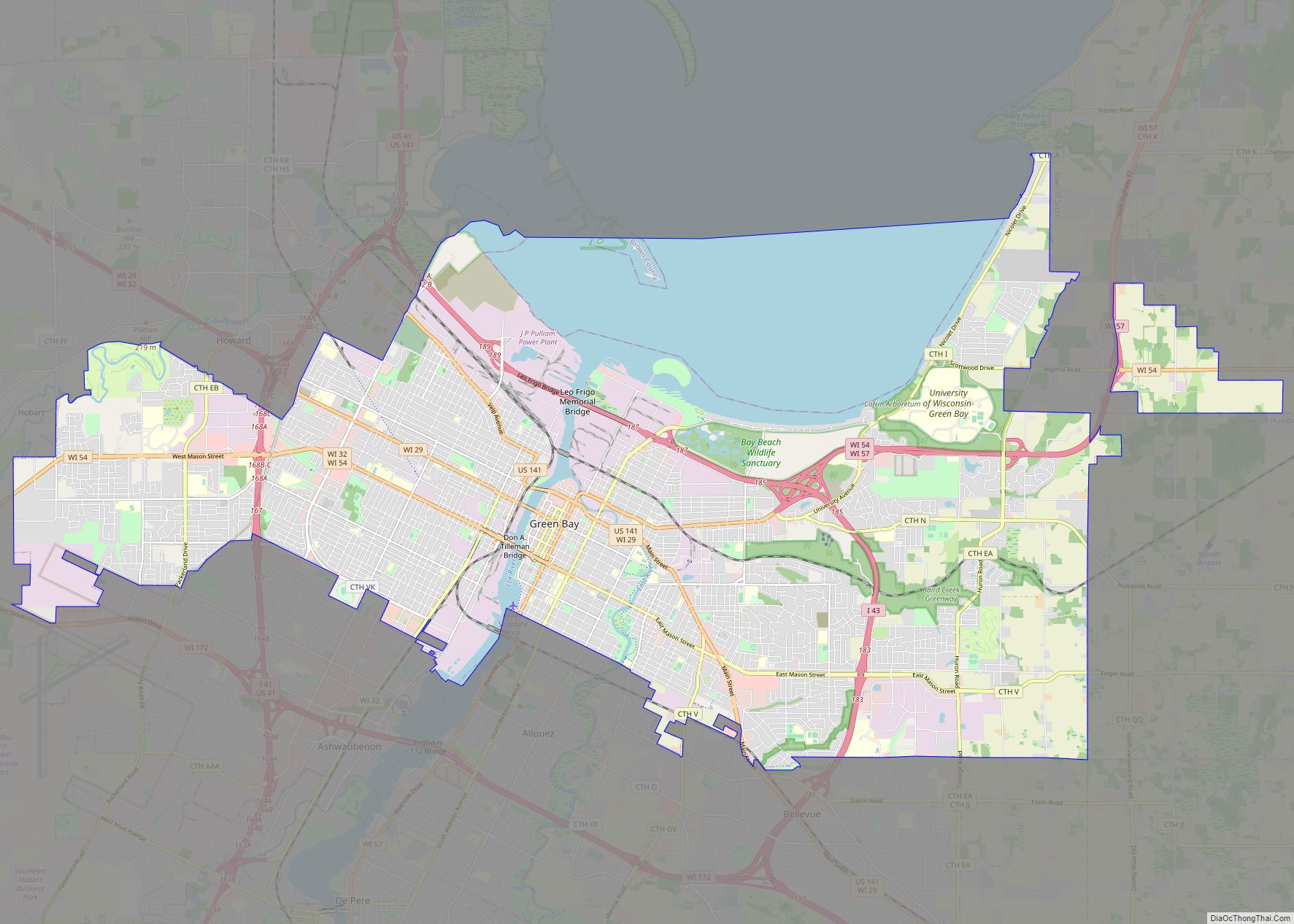
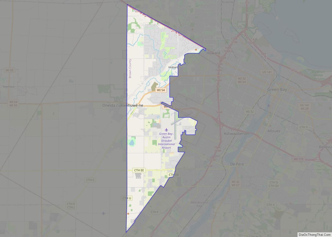
Online Interactive Map
Click on ![]() to view map in "full screen" mode.
to view map in "full screen" mode.
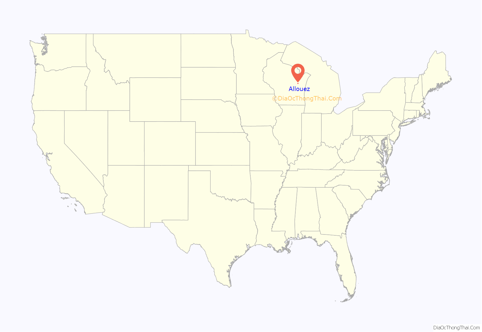
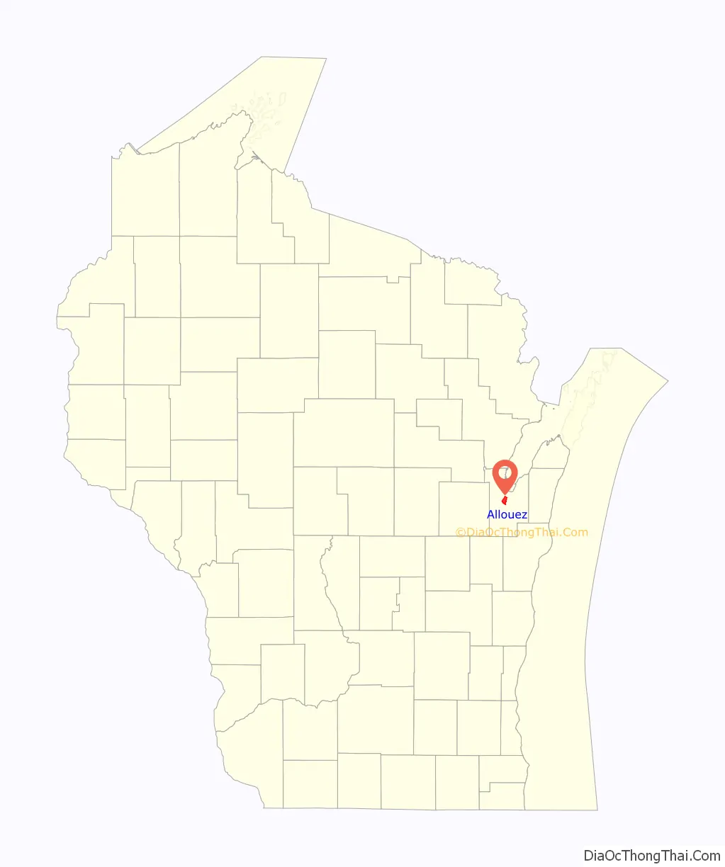
Allouez location map. Where is Allouez village?
History
The village of Allouez was named after the French Jesuit priest and missionary, Father Claude-Jean Allouez. The Cadle Mission, a mission of the Episcopal Church for the Native Americans, was located in the village in the nineteenth century.
Allouez Road Map
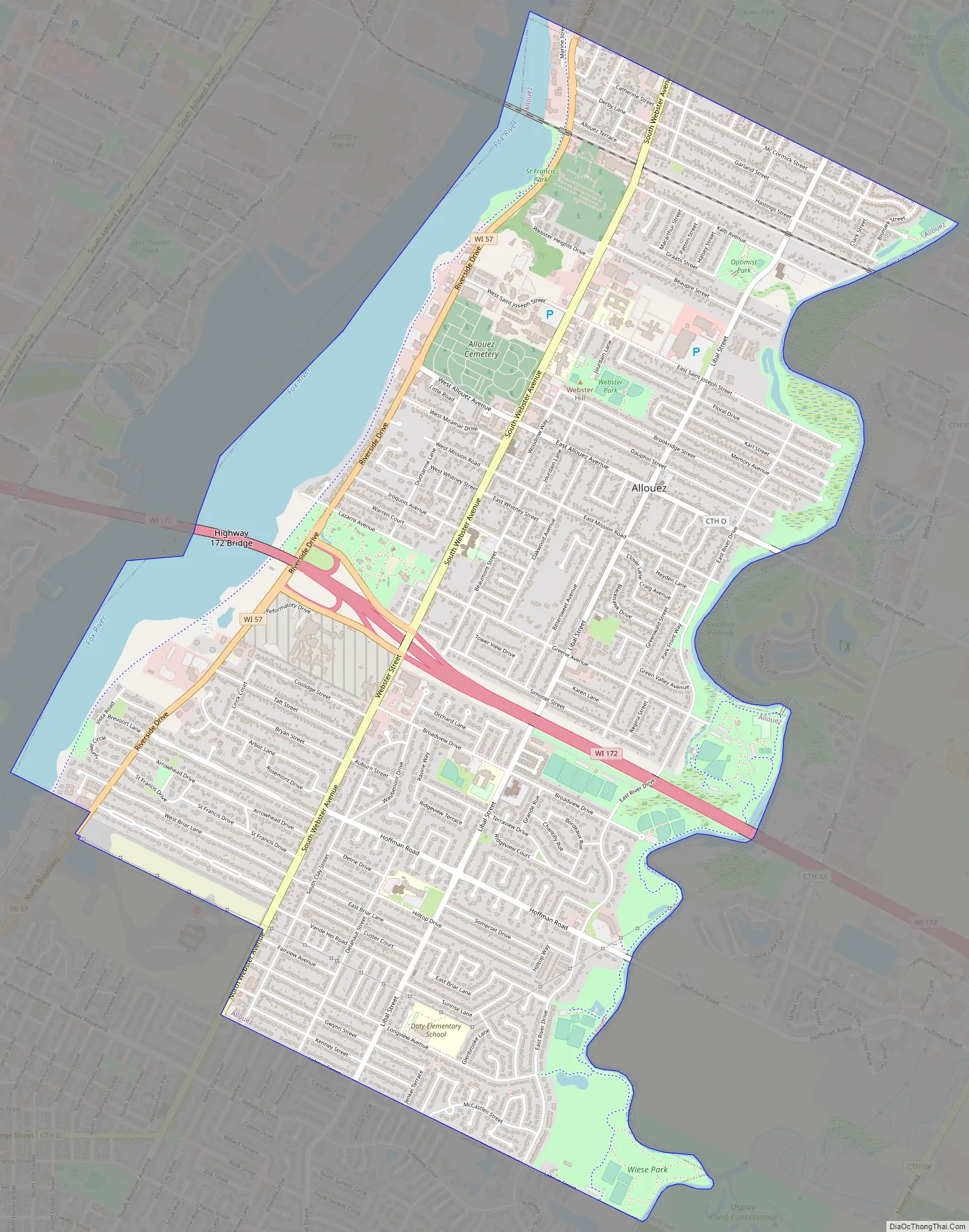
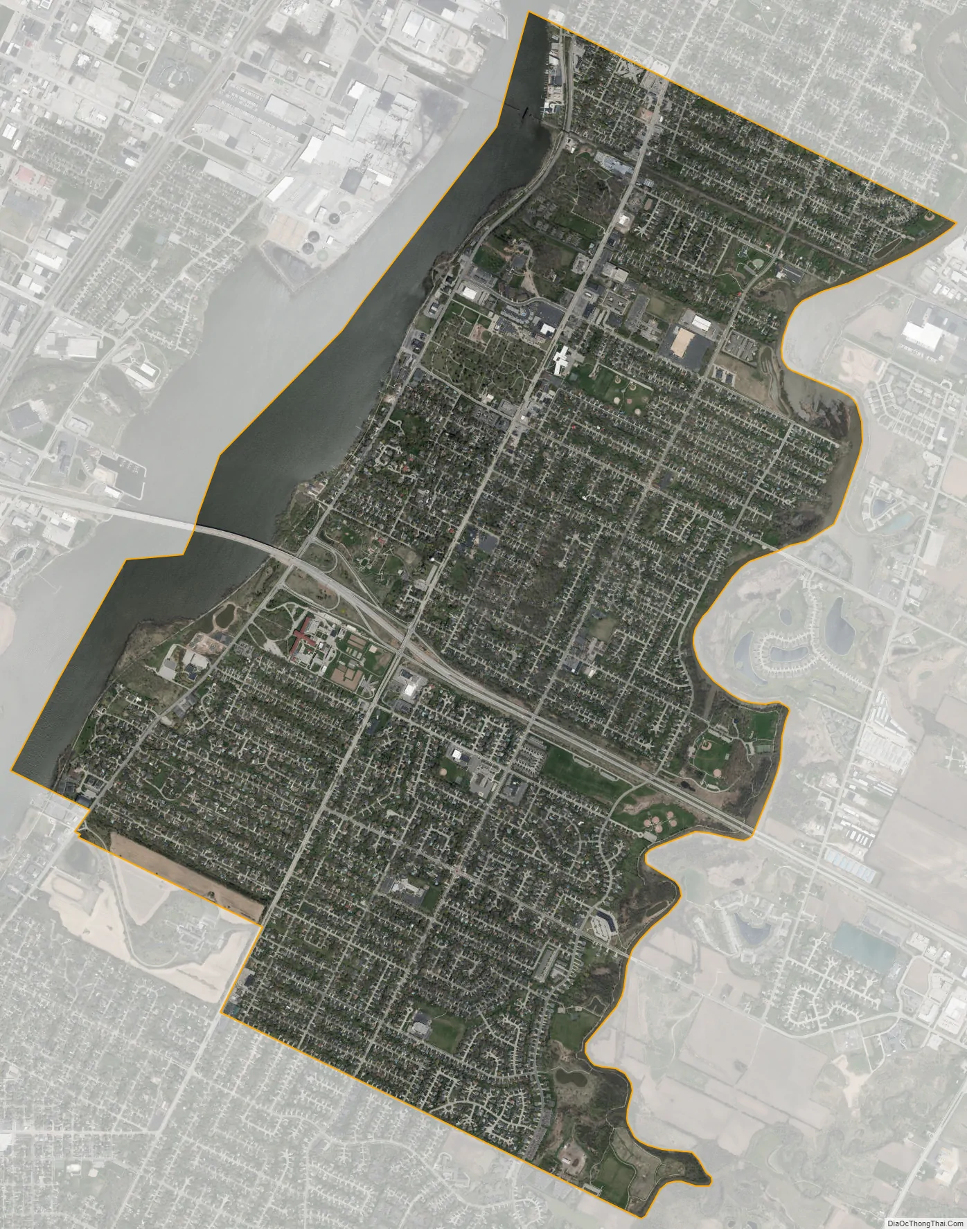
Allouez city Satellite Map
Geography
Allouez is located between Green Bay to the north, and De Pere to the south. The Fox River forms a natural border to the west and the East River to the east. According to the United States Census Bureau, the village has a total area of 5.15 square miles (13.34 km), of which, 4.61 square miles (11.94 km) of it is land and 0.54 square miles (1.40 km) is water.
See also
Map of Wisconsin State and its subdivision:- Adams
- Ashland
- Barron
- Bayfield
- Brown
- Buffalo
- Burnett
- Calumet
- Chippewa
- Clark
- Columbia
- Crawford
- Dane
- Dodge
- Door
- Douglas
- Dunn
- Eau Claire
- Florence
- Fond du Lac
- Forest
- Grant
- Green
- Green Lake
- Iowa
- Iron
- Jackson
- Jefferson
- Juneau
- Kenosha
- Kewaunee
- La Crosse
- Lafayette
- Lake Michigan
- Lake Superior
- Langlade
- Lincoln
- Manitowoc
- Marathon
- Marinette
- Marquette
- Menominee
- Milwaukee
- Monroe
- Oconto
- Oneida
- Outagamie
- Ozaukee
- Pepin
- Pierce
- Polk
- Portage
- Price
- Racine
- Richland
- Rock
- Rusk
- Saint Croix
- Sauk
- Sawyer
- Shawano
- Sheboygan
- Taylor
- Trempealeau
- Vernon
- Vilas
- Walworth
- Washburn
- Washington
- Waukesha
- Waupaca
- Waushara
- Winnebago
- Wood
- Alabama
- Alaska
- Arizona
- Arkansas
- California
- Colorado
- Connecticut
- Delaware
- District of Columbia
- Florida
- Georgia
- Hawaii
- Idaho
- Illinois
- Indiana
- Iowa
- Kansas
- Kentucky
- Louisiana
- Maine
- Maryland
- Massachusetts
- Michigan
- Minnesota
- Mississippi
- Missouri
- Montana
- Nebraska
- Nevada
- New Hampshire
- New Jersey
- New Mexico
- New York
- North Carolina
- North Dakota
- Ohio
- Oklahoma
- Oregon
- Pennsylvania
- Rhode Island
- South Carolina
- South Dakota
- Tennessee
- Texas
- Utah
- Vermont
- Virginia
- Washington
- West Virginia
- Wisconsin
- Wyoming