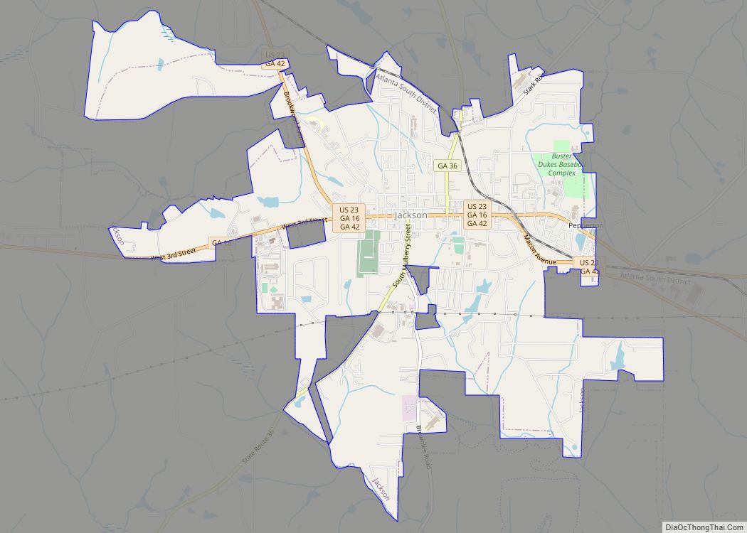
Butts County is a county located in the central part of the U.S. state of Georgia. As of the 2020 census, the population was 25,434, up from 23,655 in 2010. The county seat is Jackson. The county was created on December 24, 1825.
Butts County is included in the Atlanta-Sandy Springs-Roswell, GA Metropolitan Statistical Area.
In 2010, the center of population of Georgia was located in the northeastern portion of the county.
| Name: | Butts County |
|---|---|
| FIPS code: | 13-035 |
| State: | Georgia |
| Founded: | 1825 |
| Named for: | Samuel Butts |
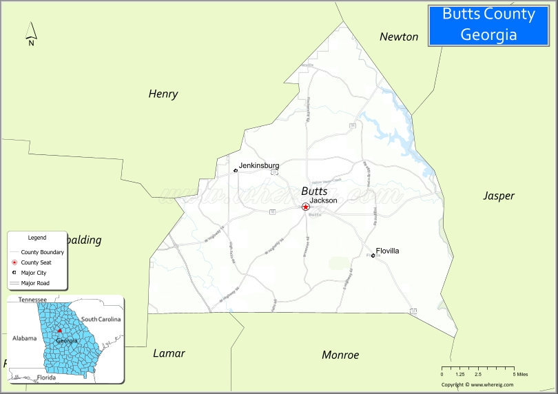
| Seat: | Jackson |
| Largest city: | Jackson |
| Total Area: | 188 sq mi (490 km²) |
| Land Area: | 184 sq mi (480 km²) |
| Total Population: | 25,434 |
| Time zone: | UTC−5 (Eastern) |
| Summer Time Zone (DST): | UTC−4 (EDT) |
| Website: | buttscountyga.com |
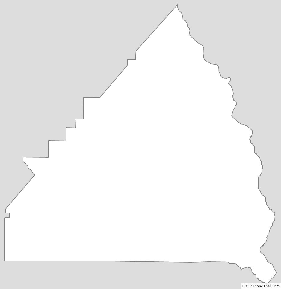
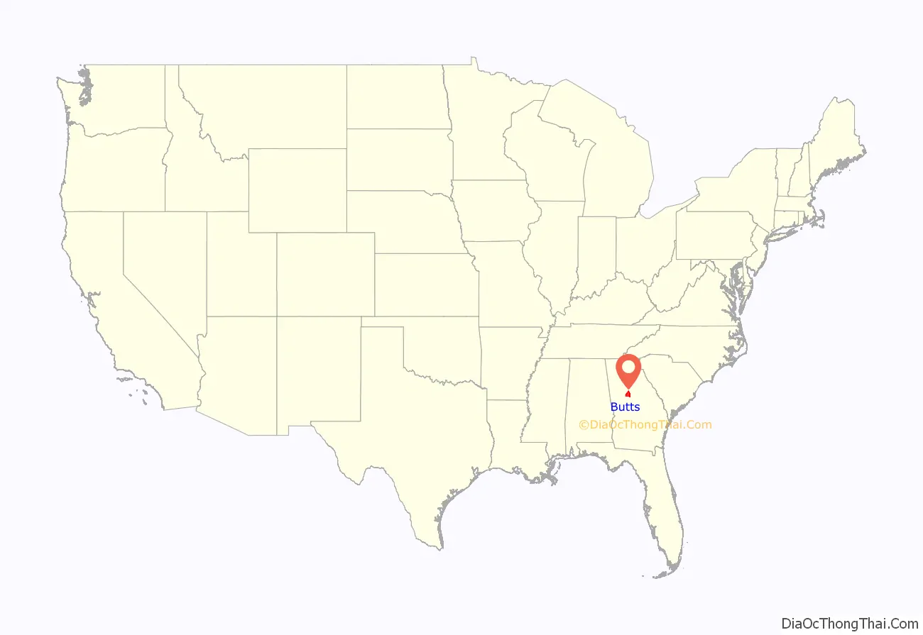
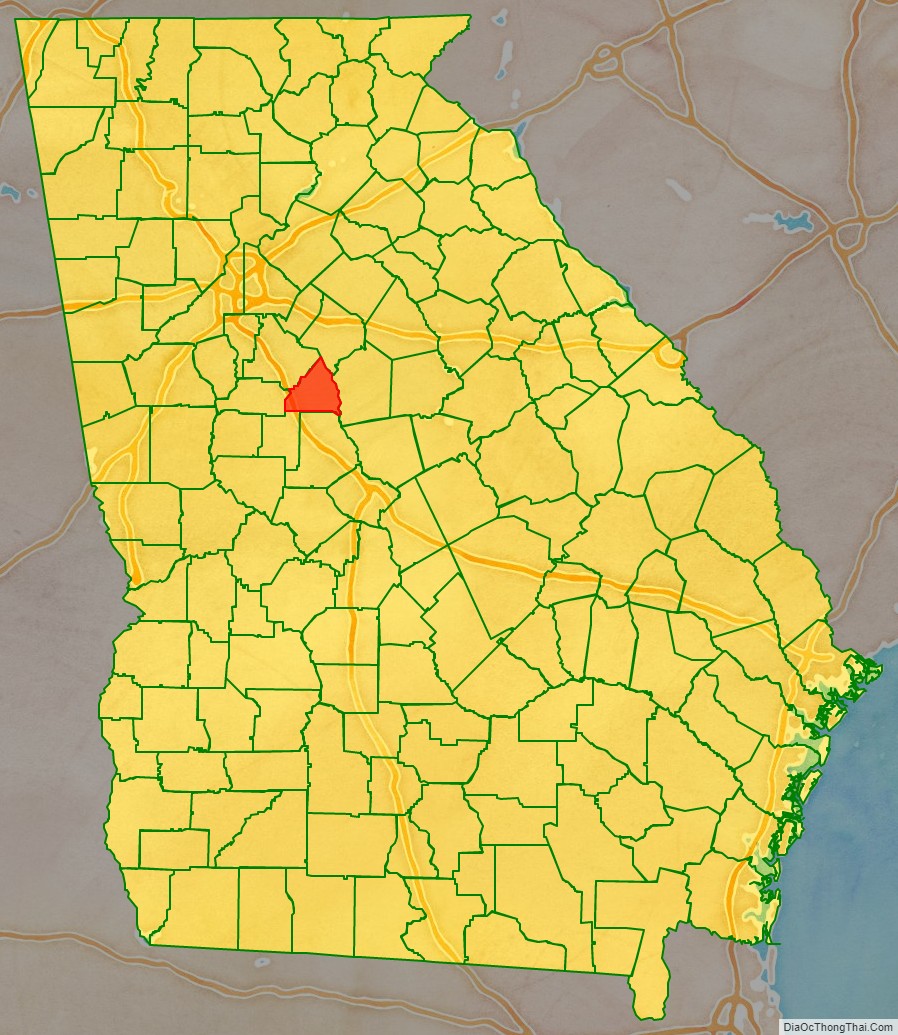
Butts County location map. Where is Butts County?
History
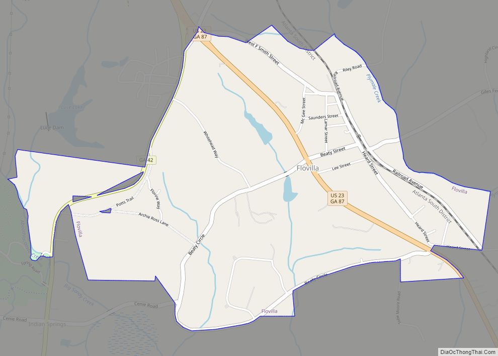
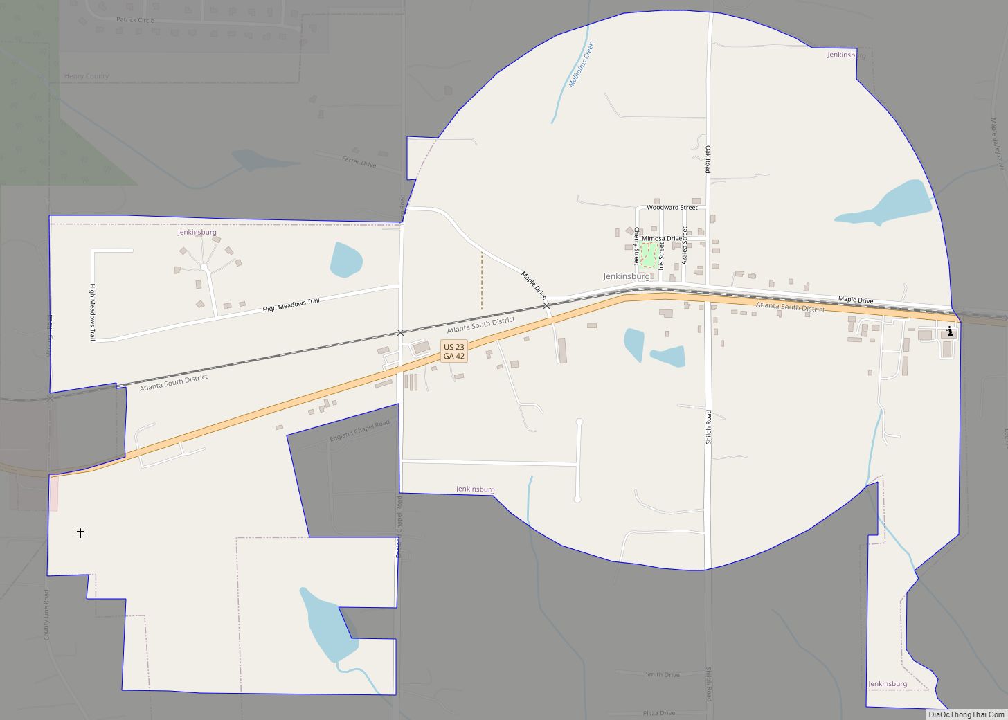
Butts County was formed on December 24, 1825, as the sixty-fourth county in Georgia from portions of Henry County and Monroe County. It was named by the Georgia General Assembly in honor of Samuel Butts, an officer who was killed in the Creek War in 1814. A year later, Jackson was created as the first city in the new county and became the county seat. Other towns followed, including Indian Springs (1837); Flovilla (1883); Jenkinsburg (1889); and Pepperton (1897). Indian Springs later disincorporated and Pepperton was merged with Jackson in 1966, leaving just three incorporated cities in Butts County. In recent years, Indian Springs has again become a tourist destination including many historic sites, shops, eating establishment and the famous Indian Springs Hotel as its centerpiece.
Much of Butts County and its cities were destroyed by the army of General William T. Sherman in its March to the Sea during the American Civil War. Butts County struggled for decades afterwards to become economically stable again. The arrival of the first railroad train on May 5, 1882, started the resurgence and growth followed. In 1898, caught up in the post-reconstruction fervor that had infected most Georgia counties, Butts County erected a monumental courthouse designed by Bruce & Morgan. This building was used as a courthouse until 2019; following renovations, it is now a museum and visitor’s center. The construction of the Lloyd Shoals dam in 1910 created Jackson Lake, a recreational lake located primarily in Butts County.
Progress milestones in Butts County include the first telephones in 1884; first waterworks in 1905; electric lights on February 19, 1907; and traffic lights in 1926.
In 2007, Butts County, along with the city of Flovilla were both designated as Georgia Signature Communities by the Georgia Department of Community Affairs. This prestigious designation was given to a total of 12 communities in Georgia that year.
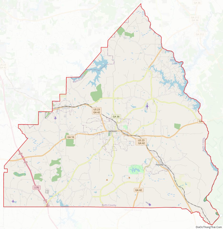
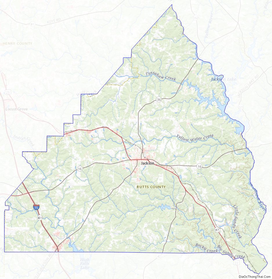
Butts County Road Map
Geography
According to the U.S. Census Bureau, the county has a total area of 188 square miles (490 km), of which 184 square miles (480 km) is land and 3.6 square miles (9.3 km) (1.9%) is water. The entirety of Butts County is located in the Upper Ocmulgee River sub-basin of the Altamaha River basin.
Major highways
- Interstate 75
- U.S. Route 23
- State Route 16
- State Route 36
- State Route 42
- State Route 87
- State Route 401 (unsigned designation for I-75)
Adjacent counties
- Newton County (north)
- Jasper County (east)
- Monroe County (south)
- Lamar County (southwest)
- Spalding County (west)
- Henry County (northwest)
Butts County Topographic Map
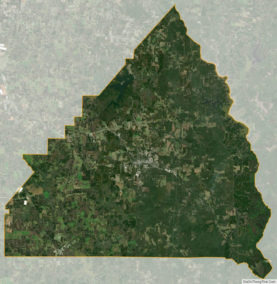
Butts County Satellite Map
Butts County Outline Map