Blakely is a city and the county seat of Early County, Georgia, United States. As of the 2010 census, it had a population of 5,068. It is located approximately halfway between Columbus and Tallahassee, Florida on U.S. Route 27.
| Name: | Blakely city |
|---|---|
| LSAD Code: | 25 |
| LSAD Description: | city (suffix) |
| State: | Georgia |
| County: | Early County |
| Elevation: | 262 ft (80 m) |
| Total Area: | 17.66 sq mi (45.75 km²) |
| Land Area: | 17.55 sq mi (45.46 km²) |
| Water Area: | 0.11 sq mi (0.29 km²) |
| Total Population: | 5,371 |
| Population Density: | 306.02/sq mi (118.15/km²) |
| ZIP code: | 39823 |
| Area code: | 229 |
| FIPS code: | 1308536 |
| GNISfeature ID: | 0331185 |
| Website: | cityofblakely.net |
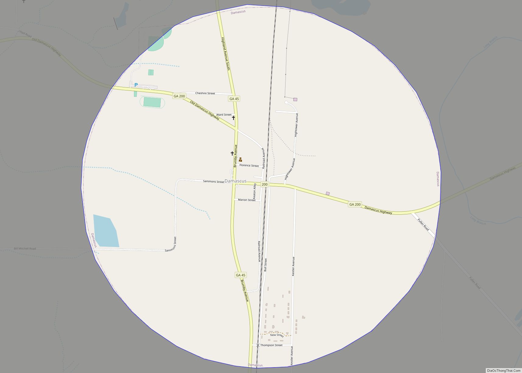
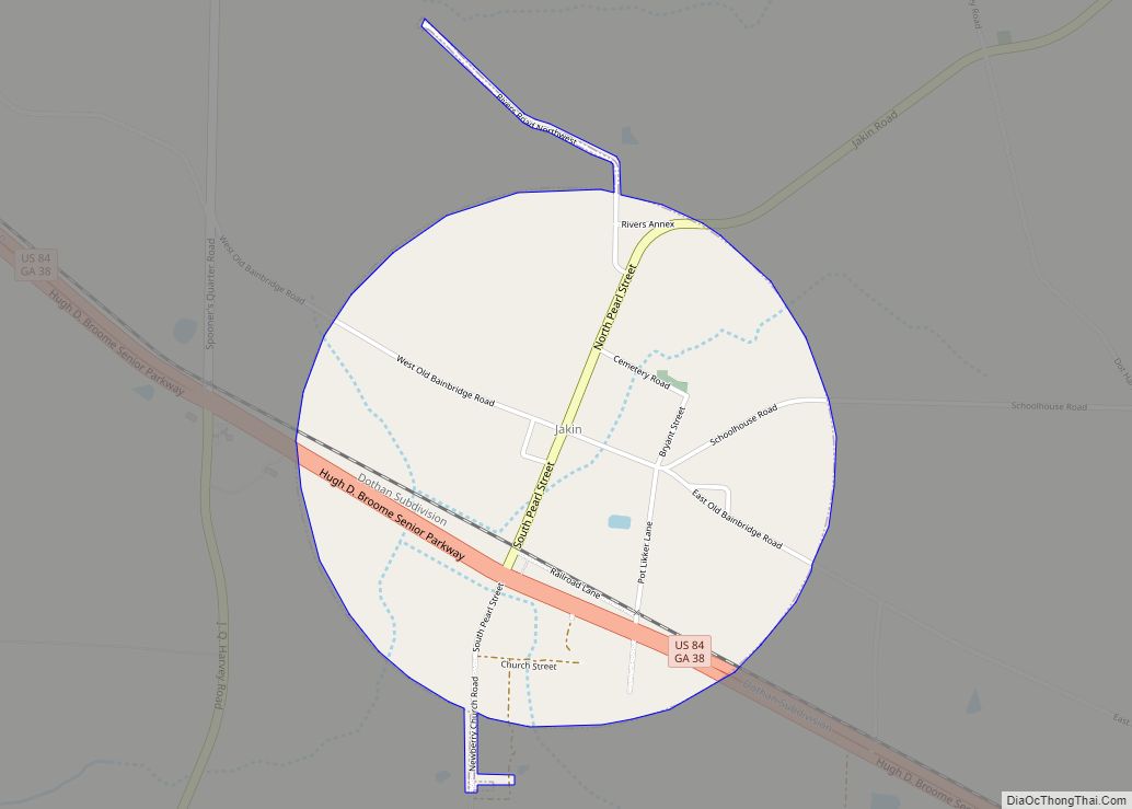
Online Interactive Map
Click on ![]() to view map in "full screen" mode.
to view map in "full screen" mode.
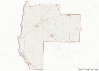
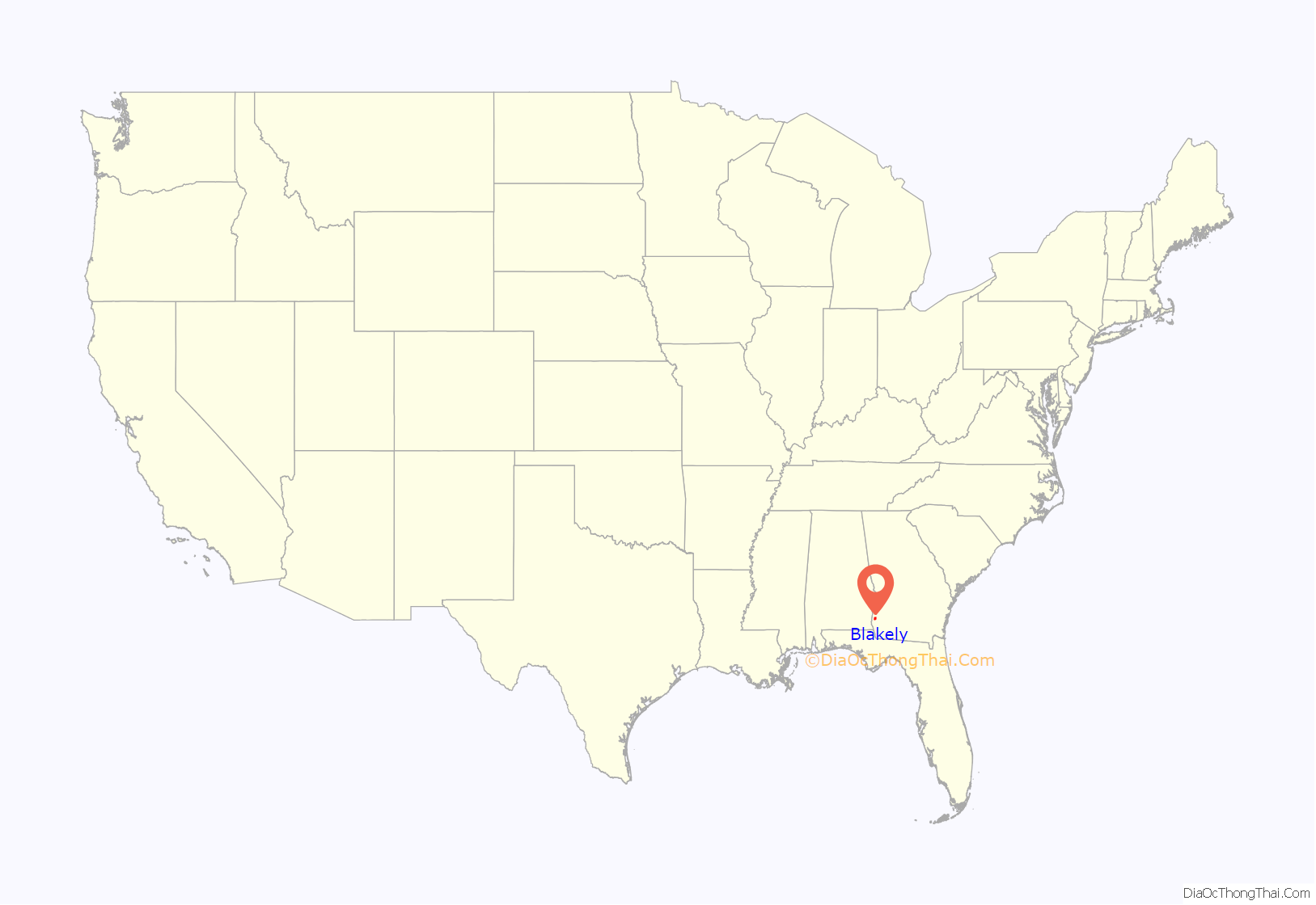
Blakely location map. Where is Blakely city?

History
Blakely was platted in 1825 as the county seat for Early County. It was named for Johnston Blakeley, an officer in the War of 1812. Between 1881 and 1947 at least seven African-Americans were lynched in Blakely, including at least two veterans. One of these, Wilbur Little, was murdered upon returning from service in World War I by whites who detested seeing a negro in uniform. In 1960 an African-American veteran from New Jersey who was traveling through the county was convicted of rape and sentenced to death 3 days after his arrest in a trial that featured no defense counsel and no jury. The story was chronicled in the movie Fair Game.A month after the article appeared in the Chicago Defender the NAACP sent Monroe N. Work to Blakely to investigate the incident. On June 7, 1919, Work sent a telegram to NAACP officer J.R. Shillady stating “Have investigated report. Blakely, Georgia, lynching does not appear to have occurred [sic].” Work concluded his investigation by recommending that allegations of a lynching be dropped. However, further review by the organization found that it had in fact occurred.
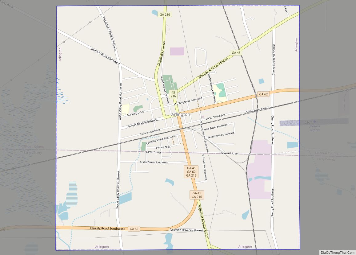
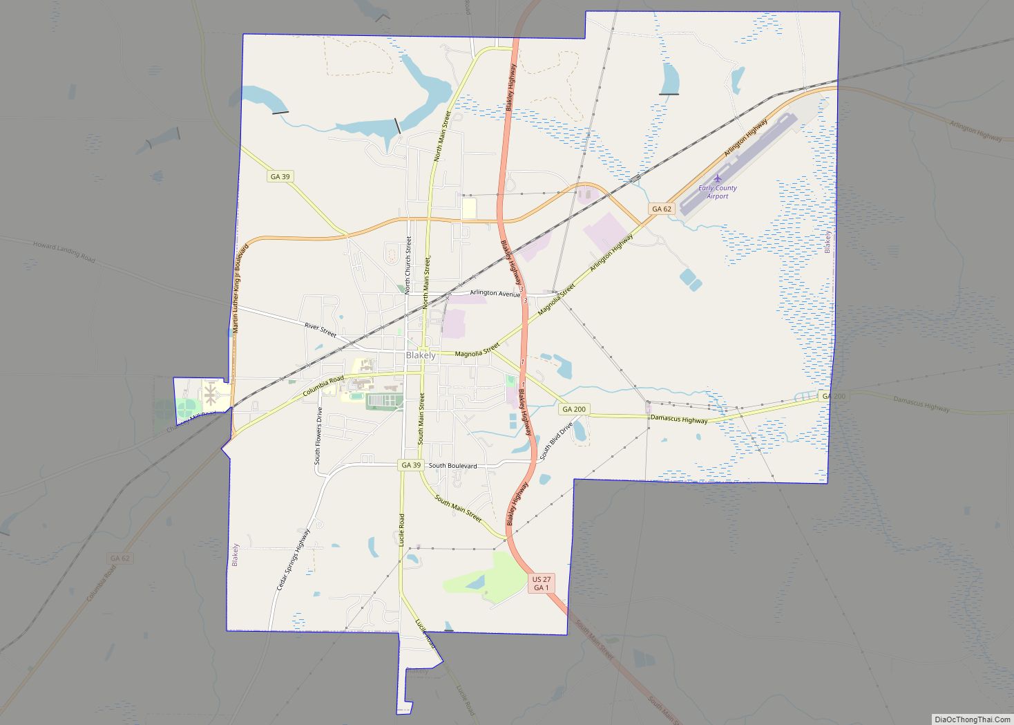
Blakely Road Map
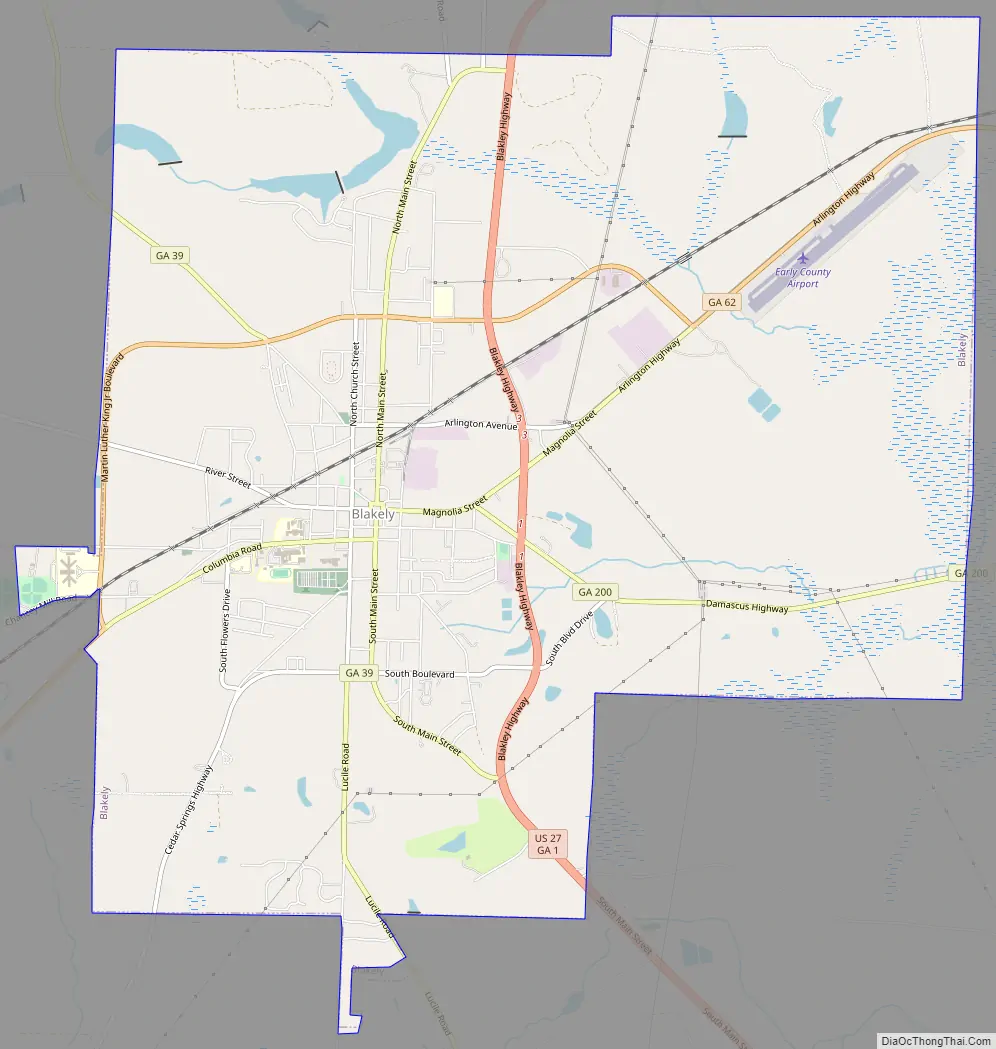
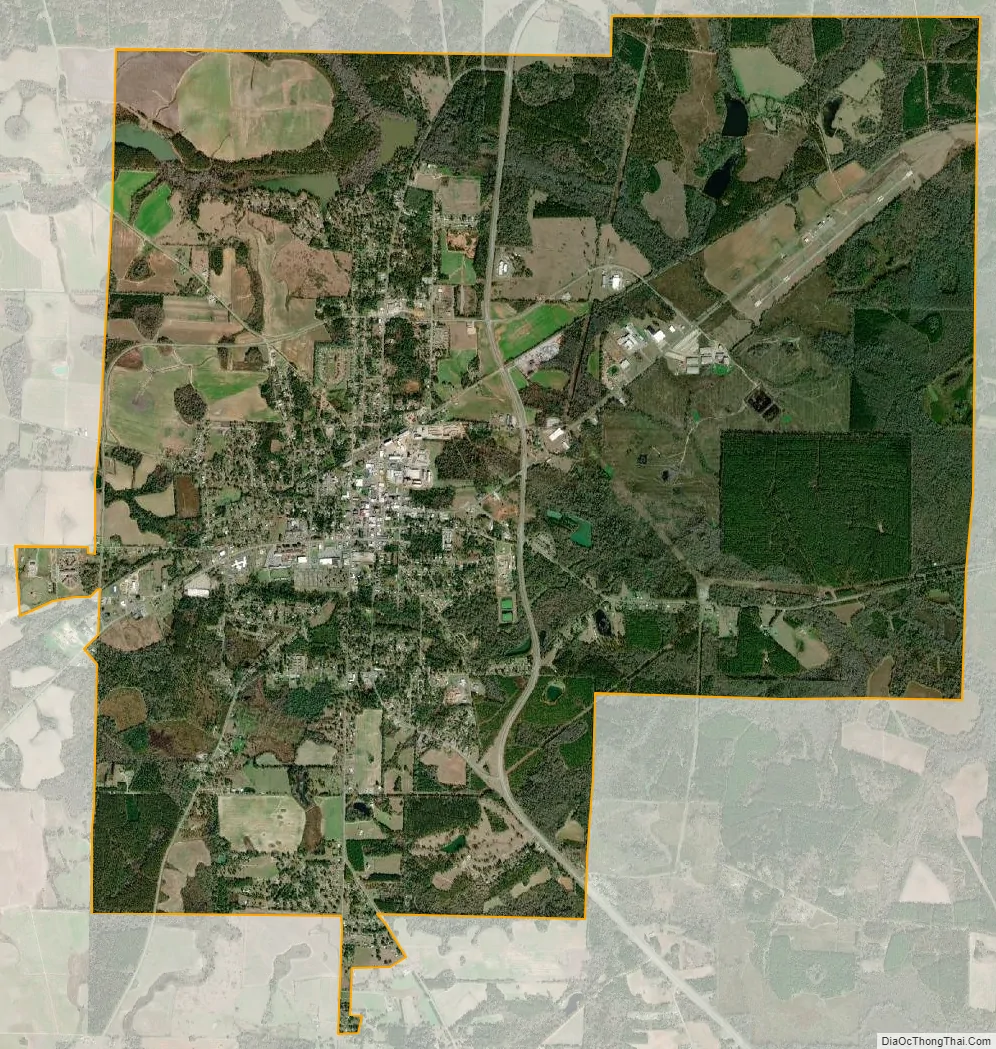
Blakely city Satellite Map
Geography
Blakely is located at 31°22′36″N 84°56′2″W / 31.37667°N 84.93389°W / 31.37667; -84.93389 (31.376728, -84.933873). The city is located in southwestern Georgia along U.S. Route 27, Georgia State Route 62, and Georgia State Route 39. Blakely is located approximately 75 mi (121 km) south of Columbus, 48 mi (77 km) southwest of Albany, and 76 mi (122 km) northwest of Tallahassee, Florida and 24 miles northeast of Dothan, Alabama.
According to the United States Census Bureau, this town has a total area of 17.6 square miles (46 km), of which 17.5 square miles (45 km) is land and 0.1 square miles (0.26 km) (0.74%) is water.
See also
Map of Georgia State and its subdivision:- Appling
- Atkinson
- Bacon
- Baker
- Baldwin
- Banks
- Barrow
- Bartow
- Ben Hill
- Berrien
- Bibb
- Bleckley
- Brantley
- Brooks
- Bryan
- Bulloch
- Burke
- Butts
- Calhoun
- Camden
- Candler
- Carroll
- Catoosa
- Charlton
- Chatham
- Chattahoochee
- Chattooga
- Cherokee
- Clarke
- Clay
- Clayton
- Clinch
- Cobb
- Coffee
- Colquitt
- Columbia
- Cook
- Coweta
- Crawford
- Crisp
- Dade
- Dawson
- Decatur
- DeKalb
- Dodge
- Dooly
- Dougherty
- Douglas
- Early
- Echols
- Effingham
- Elbert
- Emanuel
- Evans
- Fannin
- Fayette
- Floyd
- Forsyth
- Franklin
- Fulton
- Gilmer
- Glascock
- Glynn
- Gordon
- Grady
- Greene
- Gwinnett
- Habersham
- Hall
- Hancock
- Haralson
- Harris
- Hart
- Heard
- Henry
- Houston
- Irwin
- Jackson
- Jasper
- Jeff Davis
- Jefferson
- Jenkins
- Johnson
- Jones
- Lamar
- Lanier
- Laurens
- Lee
- Liberty
- Lincoln
- Long
- Lowndes
- Lumpkin
- Macon
- Madison
- Marion
- McDuffie
- McIntosh
- Meriwether
- Miller
- Mitchell
- Monroe
- Montgomery
- Morgan
- Murray
- Muscogee
- Newton
- Oconee
- Oglethorpe
- Paulding
- Peach
- Pickens
- Pierce
- Pike
- Polk
- Pulaski
- Putnam
- Quitman
- Rabun
- Randolph
- Richmond
- Rockdale
- Schley
- Screven
- Seminole
- Spalding
- Stephens
- Stewart
- Sumter
- Talbot
- Taliaferro
- Tattnall
- Taylor
- Telfair
- Terrell
- Thomas
- Tift
- Toombs
- Towns
- Treutlen
- Troup
- Turner
- Twiggs
- Union
- Upson
- Walker
- Walton
- Ware
- Warren
- Washington
- Wayne
- Webster
- Wheeler
- White
- Whitfield
- Wilcox
- Wilkes
- Wilkinson
- Worth
- Alabama
- Alaska
- Arizona
- Arkansas
- California
- Colorado
- Connecticut
- Delaware
- District of Columbia
- Florida
- Georgia
- Hawaii
- Idaho
- Illinois
- Indiana
- Iowa
- Kansas
- Kentucky
- Louisiana
- Maine
- Maryland
- Massachusetts
- Michigan
- Minnesota
- Mississippi
- Missouri
- Montana
- Nebraska
- Nevada
- New Hampshire
- New Jersey
- New Mexico
- New York
- North Carolina
- North Dakota
- Ohio
- Oklahoma
- Oregon
- Pennsylvania
- Rhode Island
- South Carolina
- South Dakota
- Tennessee
- Texas
- Utah
- Vermont
- Virginia
- Washington
- West Virginia
- Wisconsin
- Wyoming