Vaiden is a town in Carroll County, Mississippi, United States and its first county seat. The population was 734 at the 2010 census. It is part of the Greenwood, Mississippi micropolitan area.
| Name: | Vaiden town |
|---|---|
| LSAD Code: | 43 |
| LSAD Description: | town (suffix) |
| State: | Mississippi |
| County: | Carroll County |
| Elevation: | 312 ft (95 m) |
| Total Area: | 2.15 sq mi (5.56 km²) |
| Land Area: | 2.15 sq mi (5.56 km²) |
| Water Area: | 0.00 sq mi (0.01 km²) |
| Total Population: | 907 |
| Population Density: | 422.84/sq mi (163.24/km²) |
| ZIP code: | 39176 |
| Area code: | 662 |
| FIPS code: | 2875880 |
| GNISfeature ID: | 0679166 |
| Website: | vaidenms.com |
Online Interactive Map
Click on ![]() to view map in "full screen" mode.
to view map in "full screen" mode.
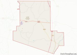
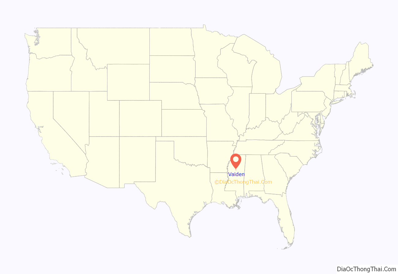
Vaiden location map. Where is Vaiden town?

History
Vaiden was founded about 1857 and named after Dr. Cowles Mead Vaiden (04/21/1812 – 02/06/1880), a local doctor, planter, and philanthropist. In the late 1850s, Dr. Vaiden gave the right-of-way through his land for construction of the last span of the Central Railroad, in order to connect the state capital, Jackson, Mississippi, with Memphis, Tennessee. Around the railroad’s completion in 1857, the population that had settled at the former Choctaw Indian town of Shongalo was moved to the east, to allow for better access to the railroad.
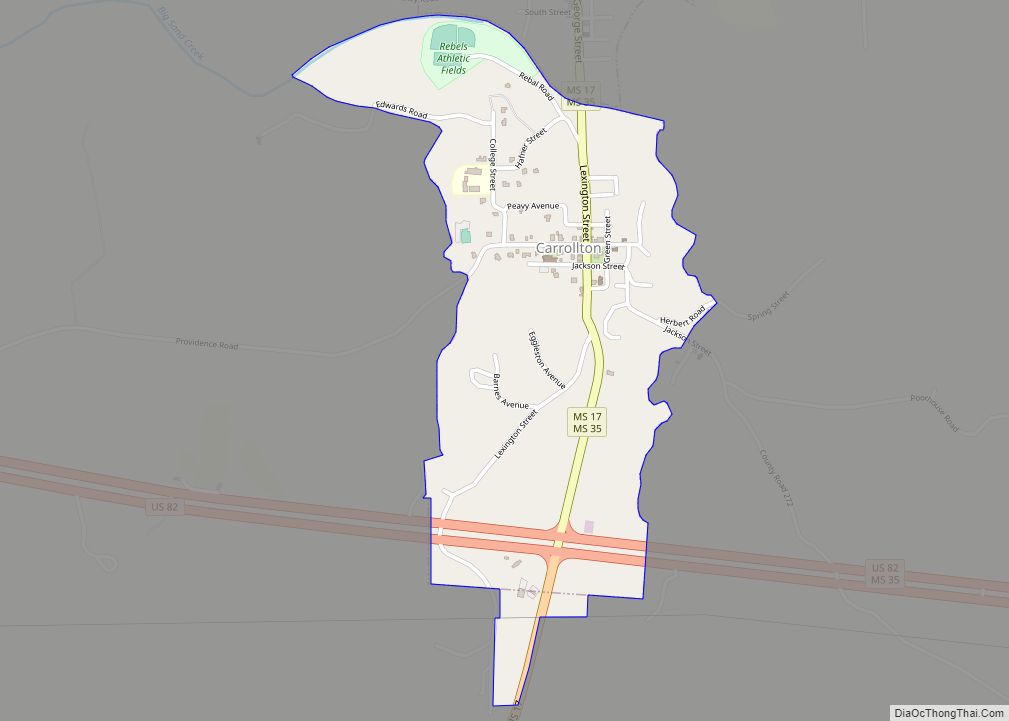
The new town was named in honor of Dr. Vaiden, and was made a regular stop on the railroad line. For that reason, it was designated as the county seat of Carroll County. Vaiden was incorporated on February 10, 1860. With additional development of population in the county, residents wanted to have access to a town closer to the Mississippi River. Carrollton, Mississippi was also designated as a county seat and is the site of the county courthouse.
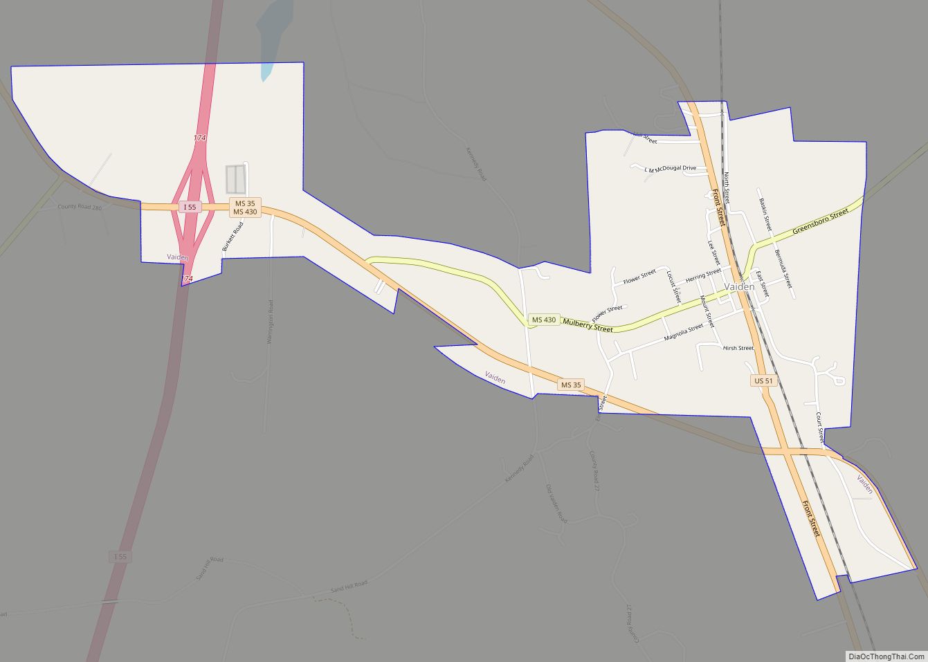
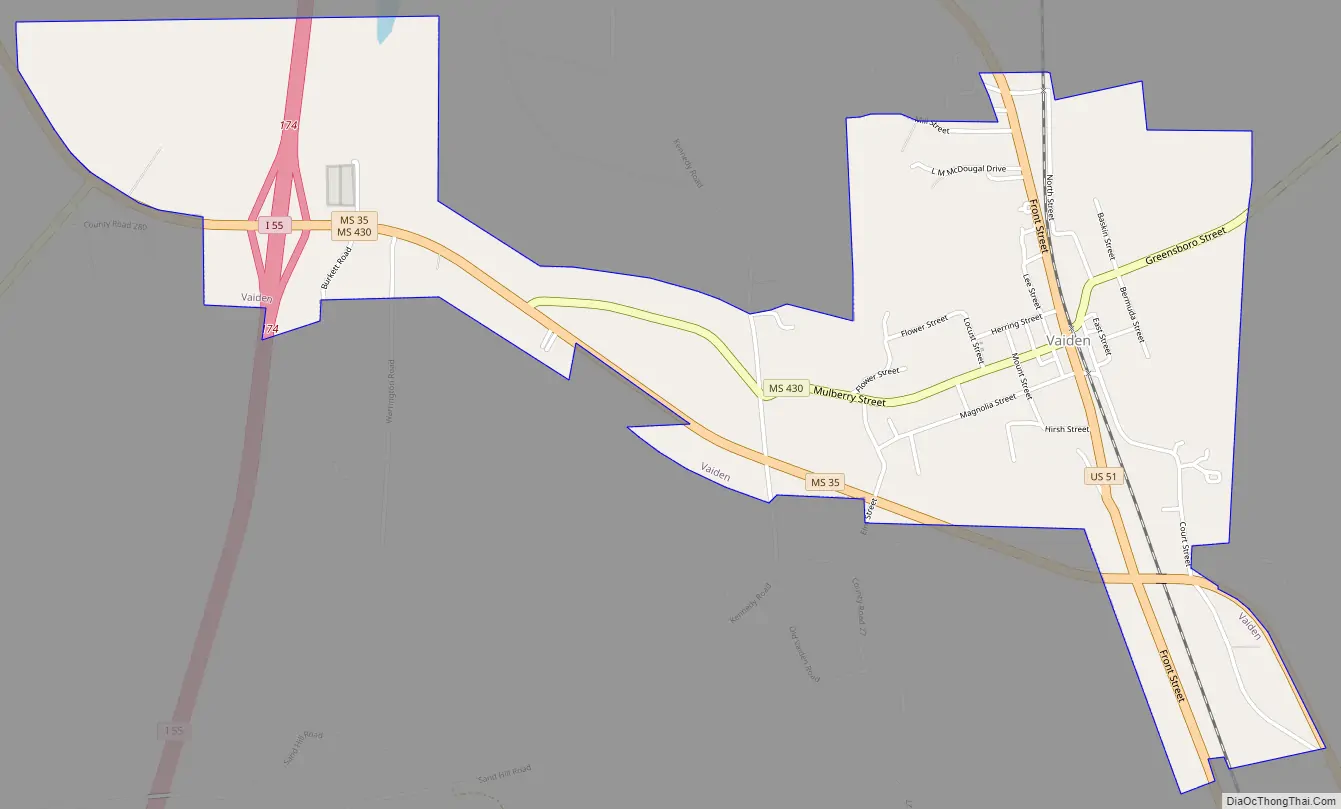
Vaiden Road Map
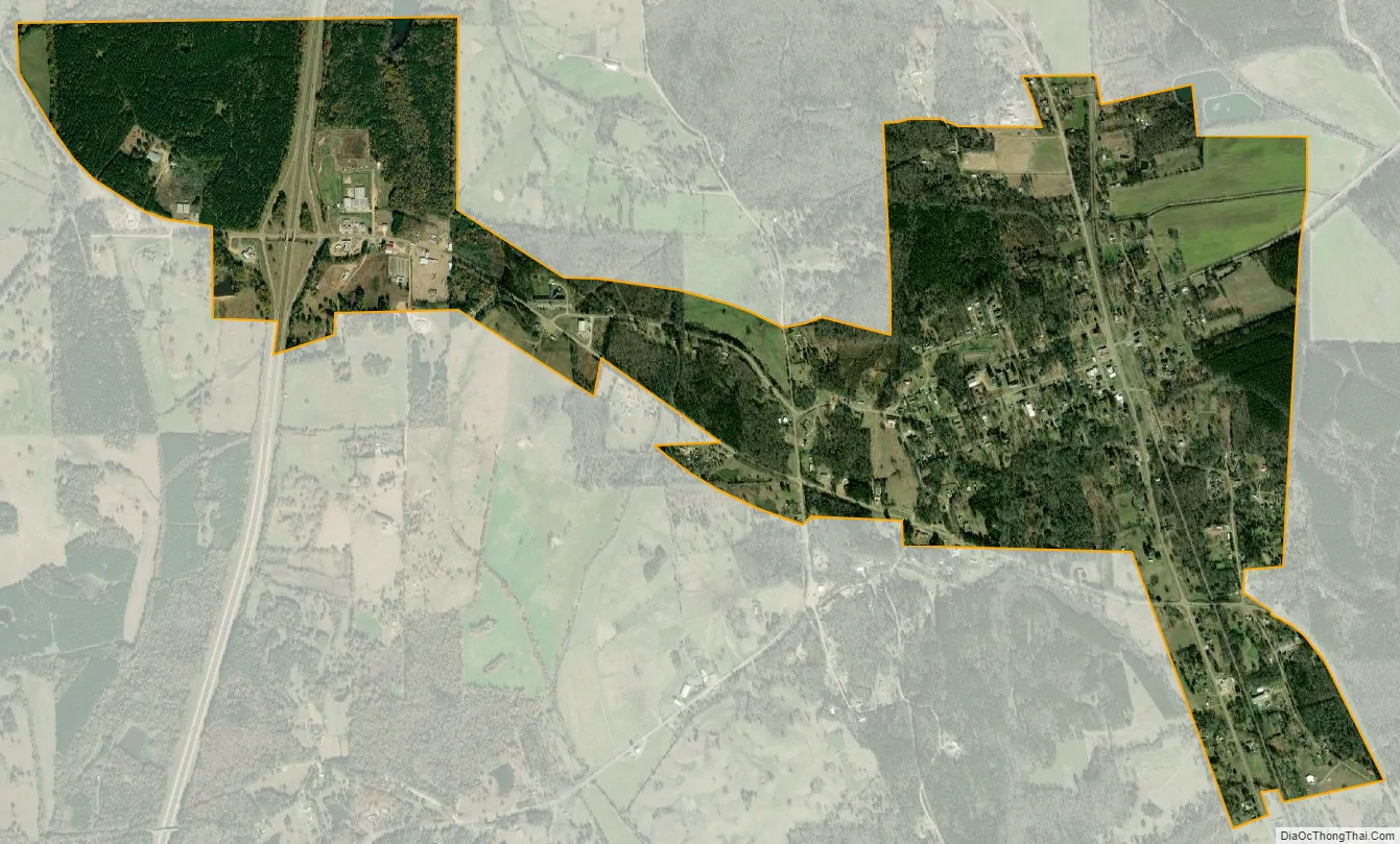
Vaiden city Satellite Map
Geography
U.S. Route 51 passes through the center of town.
According to the United States Census Bureau, Vaiden has a total area of 2.2 square miles (5.6 km), all land.
See also
Map of Mississippi State and its subdivision:- Adams
- Alcorn
- Amite
- Attala
- Benton
- Bolivar
- Calhoun
- Carroll
- Chickasaw
- Choctaw
- Claiborne
- Clarke
- Clay
- Coahoma
- Copiah
- Covington
- Desoto
- Forrest
- Franklin
- George
- Greene
- Grenada
- Hancock
- Harrison
- Hinds
- Holmes
- Humphreys
- Issaquena
- Itawamba
- Jackson
- Jasper
- Jefferson
- Jefferson Davis
- Jones
- Kemper
- Lafayette
- Lamar
- Lauderdale
- Lawrence
- Leake
- Lee
- Leflore
- Lincoln
- Lowndes
- Madison
- Marion
- Marshall
- Monroe
- Montgomery
- Neshoba
- Newton
- Noxubee
- Oktibbeha
- Panola
- Pearl River
- Perry
- Pike
- Pontotoc
- Prentiss
- Quitman
- Rankin
- Scott
- Sharkey
- Simpson
- Smith
- Stone
- Sunflower
- Tallahatchie
- Tate
- Tippah
- Tishomingo
- Tunica
- Union
- Walthall
- Warren
- Washington
- Wayne
- Webster
- Wilkinson
- Winston
- Yalobusha
- Yazoo
- Alabama
- Alaska
- Arizona
- Arkansas
- California
- Colorado
- Connecticut
- Delaware
- District of Columbia
- Florida
- Georgia
- Hawaii
- Idaho
- Illinois
- Indiana
- Iowa
- Kansas
- Kentucky
- Louisiana
- Maine
- Maryland
- Massachusetts
- Michigan
- Minnesota
- Mississippi
- Missouri
- Montana
- Nebraska
- Nevada
- New Hampshire
- New Jersey
- New Mexico
- New York
- North Carolina
- North Dakota
- Ohio
- Oklahoma
- Oregon
- Pennsylvania
- Rhode Island
- South Carolina
- South Dakota
- Tennessee
- Texas
- Utah
- Vermont
- Virginia
- Washington
- West Virginia
- Wisconsin
- Wyoming