Carroll County is a county located in the state of Ohio. As of the 2020 census, the population was 26,721. Its county seat is Carrollton, while its largest village is Minerva. It is named for Charles Carroll of Carrollton, the last surviving signer of the Declaration of Independence.
Carroll County is part of the Canton-Massillon, OH Metropolitan Statistical Area, which is also included in the Cleveland-Akron-Canton, OH Combined Statistical Area. It is in the Appalachian Ohio region.
| Name: | Carroll County |
|---|---|
| FIPS code: | 39-019 |
| State: | Ohio |
| Founded: | January 1, 1833 |
| Named for: | Charles Carroll of Carrollton |
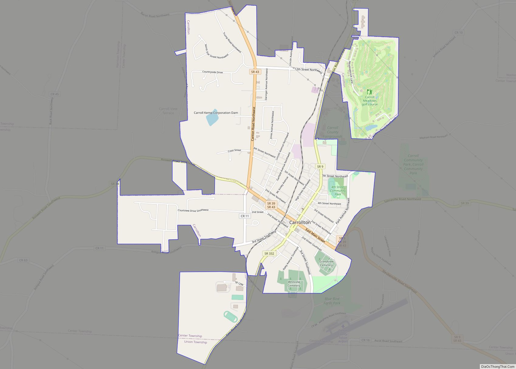
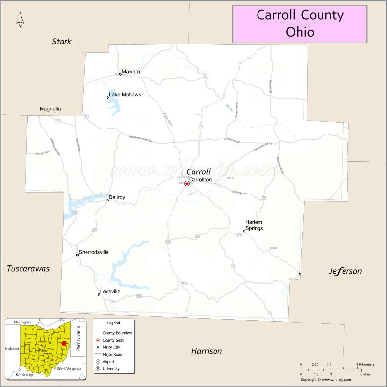
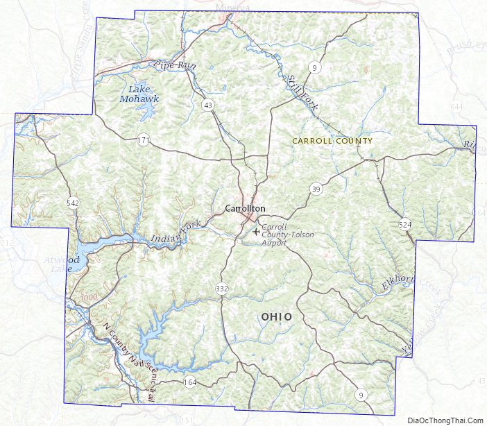
| Seat: | Carrollton |
| Total Area: | 399 sq mi (1,030 km²) |
| Land Area: | 395 sq mi (1,020 km²) |
| Total Population: | 26,721 |
| Population Density: | 67/sq mi (26/km²) |
| Time zone: | UTC−5 (Eastern) |
| Summer Time Zone (DST): | UTC−4 (EDT) |
| Website: | www.carrollcountyohio.us |
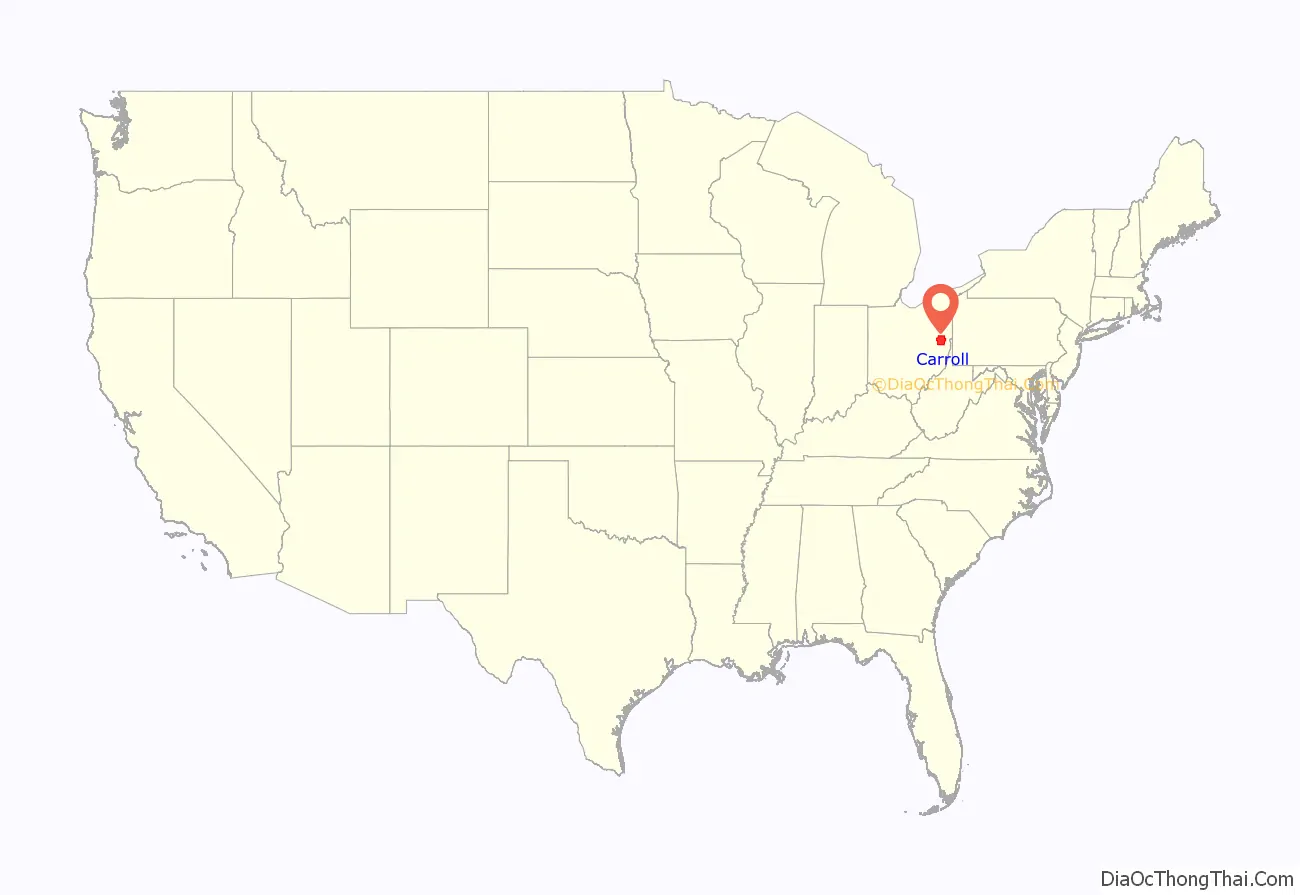
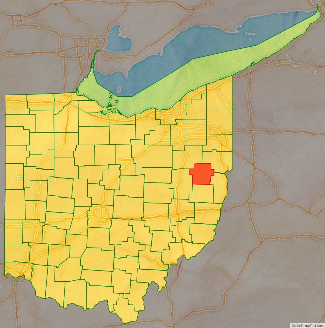
Carroll County location map. Where is Carroll County?
History
Carroll County was formed on December 25, 1832, from portions of Columbiana, Harrison, Jefferson, Stark, and Tuscarawas counties.
Carroll County lies upon an ancient trail known as the Great Trail, connecting the forks of the Ohio with Lake Erie and the inland plains.
Carroll County Road Map
Geography
According to the U.S. Census Bureau, the county has a total area of 399 square miles (1,030 km), of which 395 square miles (1,020 km) is land and 4.3 square miles (11 km) (1.1%) is water. It is the fifth smallest county in Ohio in land area and smallest in total area.
Adjacent counties
- Columbiana County (northeast)
- Jefferson County (southeast)
- Harrison County (south)
- Tuscarawas County (southwest)
- Stark County (northwest)
Major highways
- SR 9
- SR 39
- SR 43
- SR 164
- SR 171
- SR 183
- SR 212
- SR 332
- SR 524
- SR 542
Carroll County Topographic Map
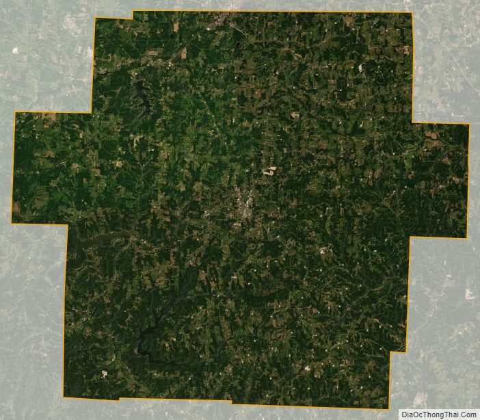
Carroll County Satellite Map
Carroll County Outline Map