Carrollton is a village in and the county seat of Carroll County, Ohio, located 22 miles (35 km) southeast of Canton. The population was 3,087 at the time of the 2020 census. It is part of the Canton–Massillon metropolitan area.
| Name: | Carrollton village |
|---|---|
| LSAD Code: | 47 |
| LSAD Description: | village (suffix) |
| State: | Ohio |
| County: | Carroll County |
| Elevation: | 1,119 ft (341 m) |
| Total Area: | 2.75 sq mi (7.13 km²) |
| Land Area: | 2.75 sq mi (7.13 km²) |
| Water Area: | 0.00 sq mi (0.00 km²) |
| Total Population: | 3,087 |
| Population Density: | 1,121.73/sq mi (433.10/km²) |
| ZIP code: | 44615 |
| Area code: | 330 |
| FIPS code: | 3912280 |
| GNISfeature ID: | 1056769 |
| Website: | http://www.villageofcarrollton.com |
Online Interactive Map
Click on ![]() to view map in "full screen" mode.
to view map in "full screen" mode.
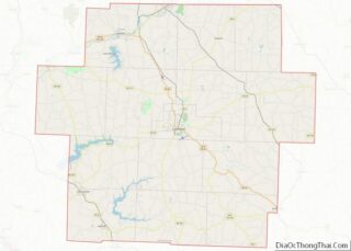
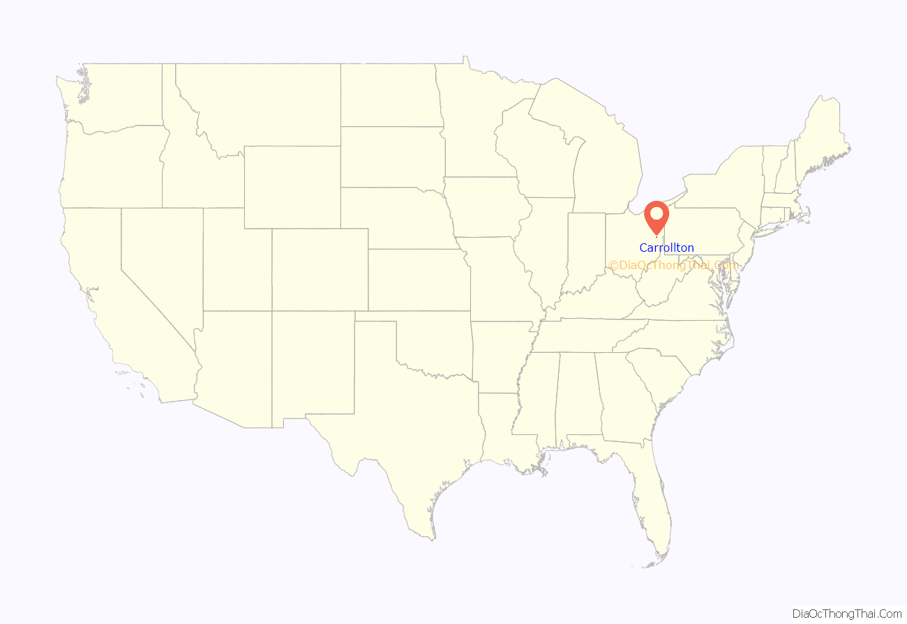
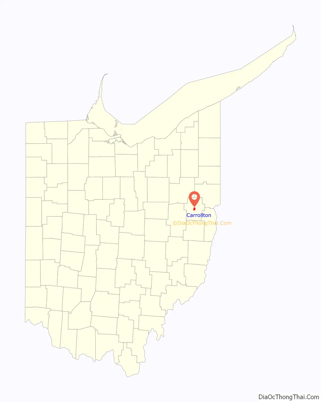
Carrollton location map. Where is Carrollton village?
History
The village was established as “Centreville” on October 4, 1815 by Peter Bohart, owing to its location at the crossroads of the routes between Steubenville to Canton and New Lisbon to New Philadelphia. After the village became the county seat of newly formed Carroll County, the name was changed on February 24, 1834. The village derives its name from Charles Carroll of Carrollton, the last surviving signer of the Declaration of Independence.
Many of the Fighting McCooks of Civil War fame lived in Carrollton. The Daniel McCook House is listed as a National Historic Place.
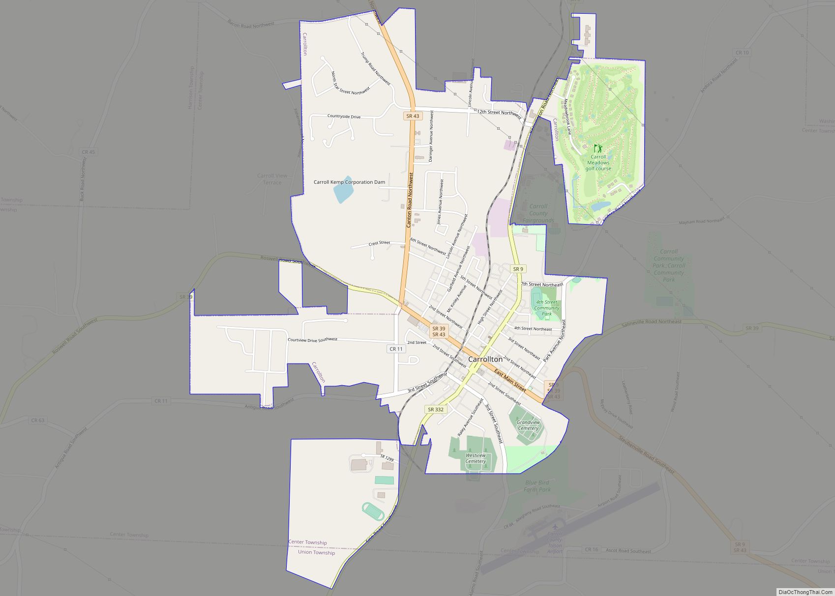
Carrollton Road Map
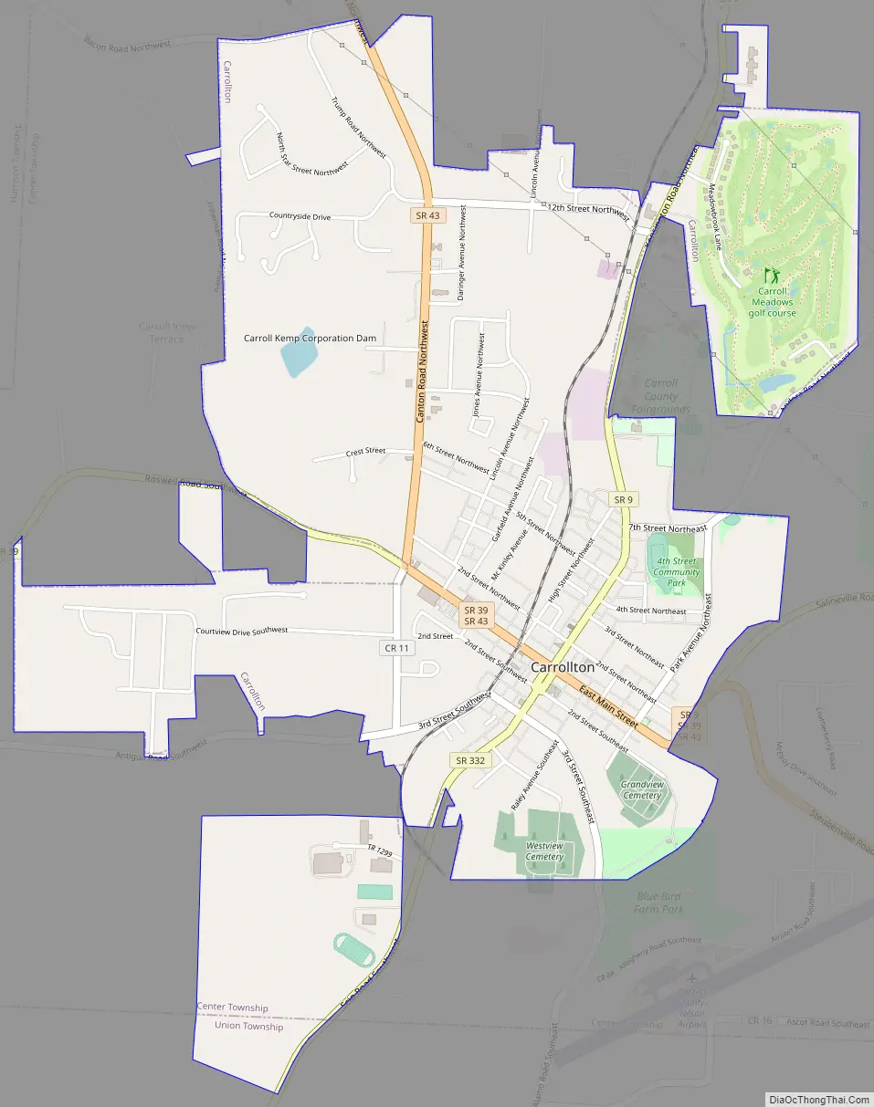
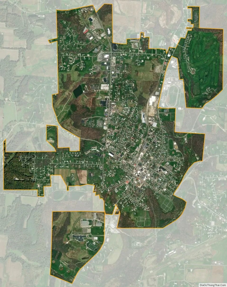
Carrollton city Satellite Map
Geography
According to the United States Census Bureau, the village has a total area of 2.45 square miles (6.35 km), all land.
Carrollton is at the junction of State Routes 39 and 43. State Routes 9 and 332 also pass through the village.
A branch of the Wheeling and Lake Erie Railway passes through and ends at the Carroll County Industrial Park.
See also
Map of Ohio State and its subdivision:- Adams
- Allen
- Ashland
- Ashtabula
- Athens
- Auglaize
- Belmont
- Brown
- Butler
- Carroll
- Champaign
- Clark
- Clermont
- Clinton
- Columbiana
- Coshocton
- Crawford
- Cuyahoga
- Darke
- Defiance
- Delaware
- Erie
- Fairfield
- Fayette
- Franklin
- Fulton
- Gallia
- Geauga
- Greene
- Guernsey
- Hamilton
- Hancock
- Hardin
- Harrison
- Henry
- Highland
- Hocking
- Holmes
- Huron
- Jackson
- Jefferson
- Knox
- Lake
- Lake Erie
- Lawrence
- Licking
- Logan
- Lorain
- Lucas
- Madison
- Mahoning
- Marion
- Medina
- Meigs
- Mercer
- Miami
- Monroe
- Montgomery
- Morgan
- Morrow
- Muskingum
- Noble
- Ottawa
- Paulding
- Perry
- Pickaway
- Pike
- Portage
- Preble
- Putnam
- Richland
- Ross
- Sandusky
- Scioto
- Seneca
- Shelby
- Stark
- Summit
- Trumbull
- Tuscarawas
- Union
- Van Wert
- Vinton
- Warren
- Washington
- Wayne
- Williams
- Wood
- Wyandot
- Alabama
- Alaska
- Arizona
- Arkansas
- California
- Colorado
- Connecticut
- Delaware
- District of Columbia
- Florida
- Georgia
- Hawaii
- Idaho
- Illinois
- Indiana
- Iowa
- Kansas
- Kentucky
- Louisiana
- Maine
- Maryland
- Massachusetts
- Michigan
- Minnesota
- Mississippi
- Missouri
- Montana
- Nebraska
- Nevada
- New Hampshire
- New Jersey
- New Mexico
- New York
- North Carolina
- North Dakota
- Ohio
- Oklahoma
- Oregon
- Pennsylvania
- Rhode Island
- South Carolina
- South Dakota
- Tennessee
- Texas
- Utah
- Vermont
- Virginia
- Washington
- West Virginia
- Wisconsin
- Wyoming