Minerva is a village primarily in Stark and Carroll counties in the U.S. state of Ohio, with a small district in Columbiana County. The population was 3,684 at the 2020 census. Most of Minerva is part of the Canton–Massillon metropolitan area.
| Name: | Minerva village |
|---|---|
| LSAD Code: | 47 |
| LSAD Description: | village (suffix) |
| State: | Ohio |
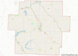
| County: | Carroll County, Columbiana County, Stark County |
| Elevation: | 1,056 ft (322 m) |
| Land Area: | 2.17 sq mi (5.61 km²) |
| Water Area: | 0.00 sq mi (0.00 km²) |
| Population Density: | 1,700.05/sq mi (656.28/km²) |
| ZIP code: | 44657 |
| Area code: | 330, 234 |
| FIPS code: | 3950834 |
| GNISfeature ID: | 1056427 |
| Website: | minerva.oh.us |
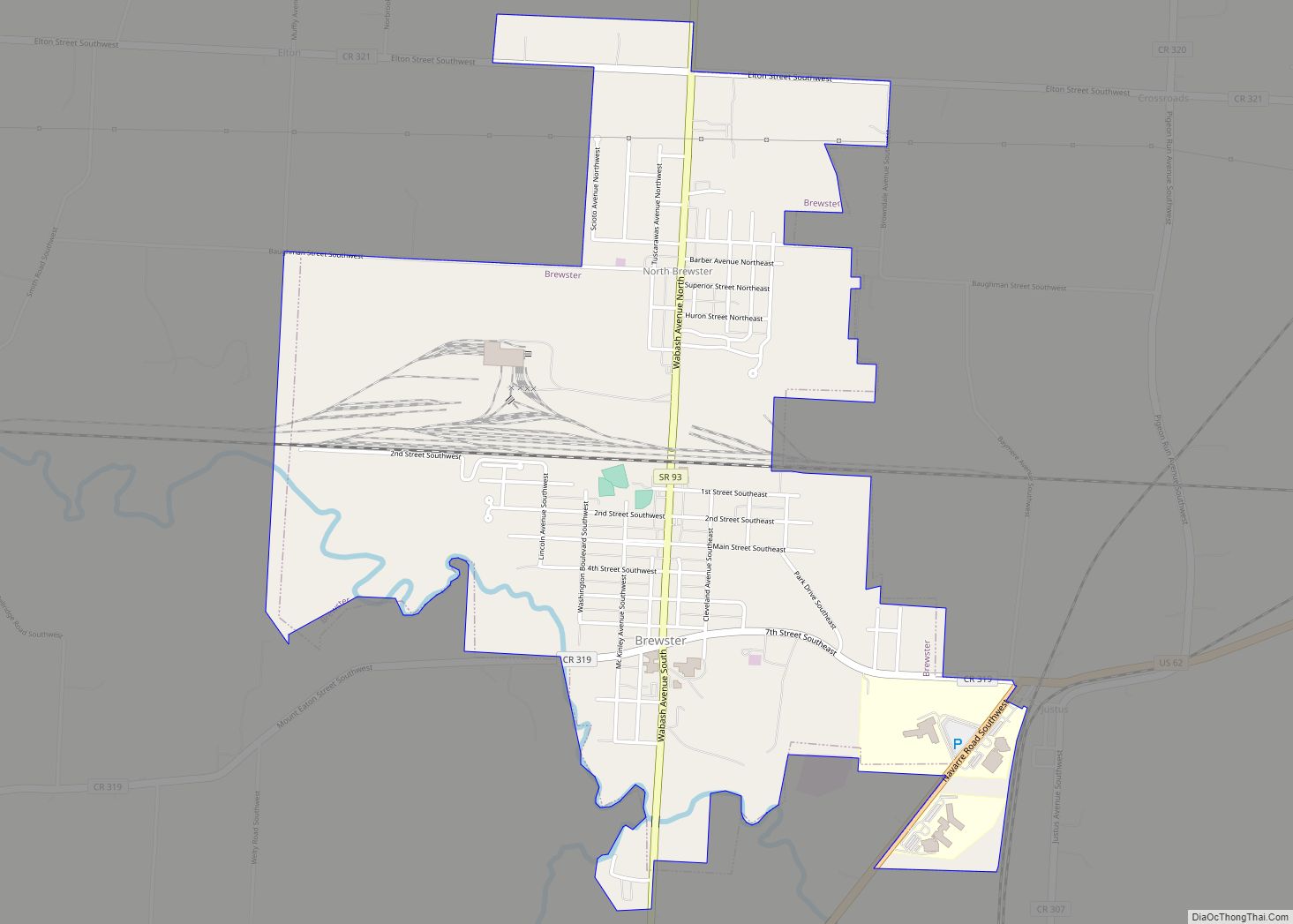
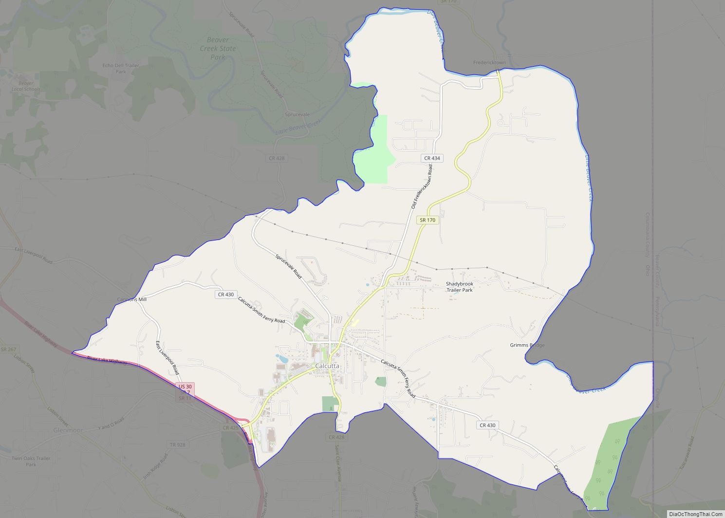
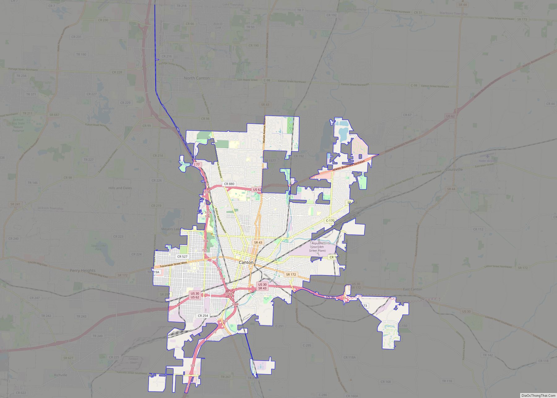
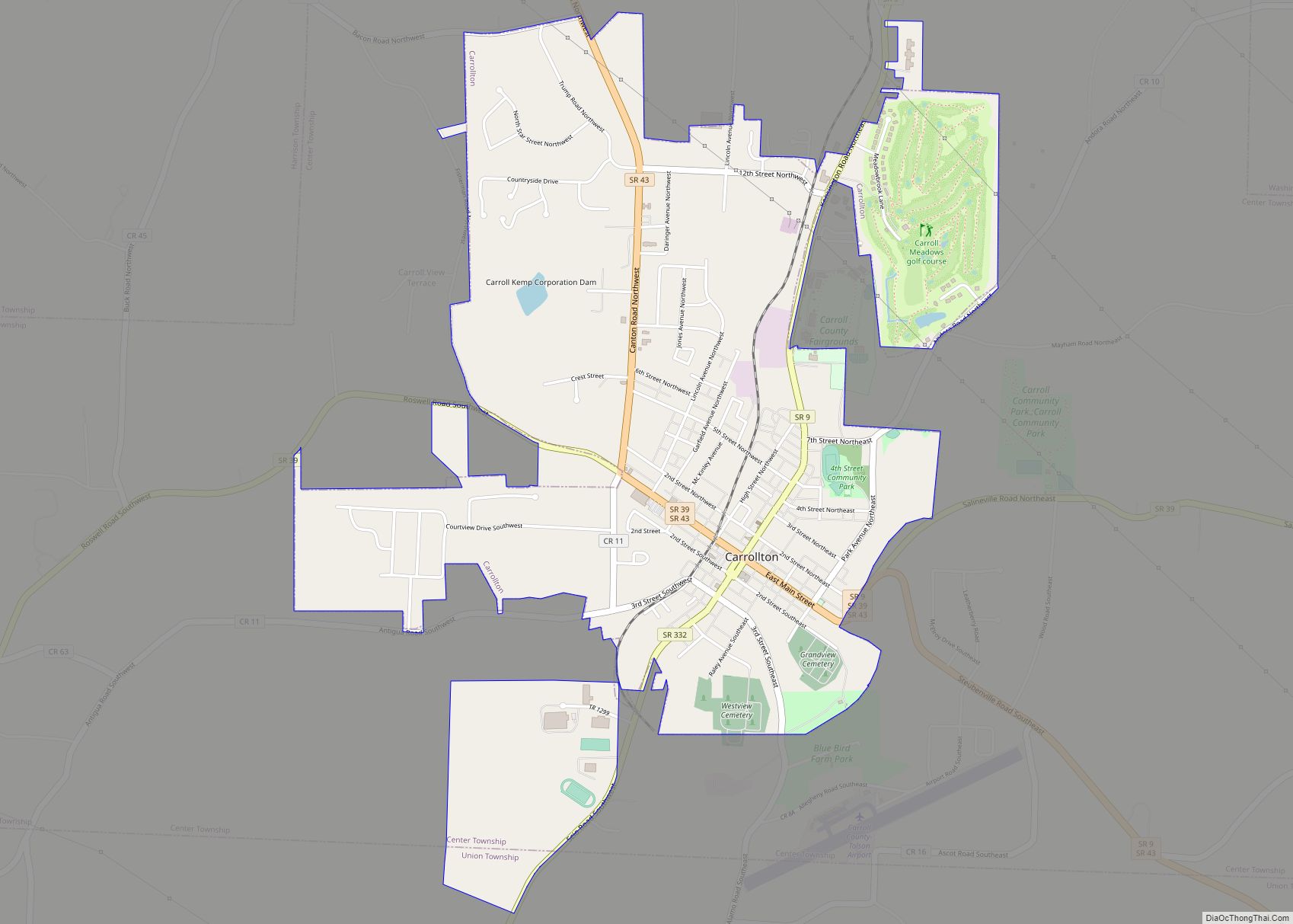
Online Interactive Map
Click on ![]() to view map in "full screen" mode.
to view map in "full screen" mode.
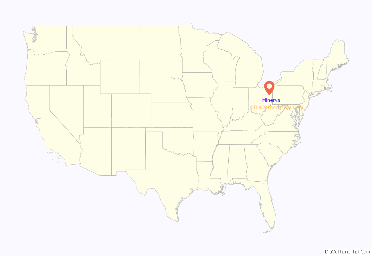
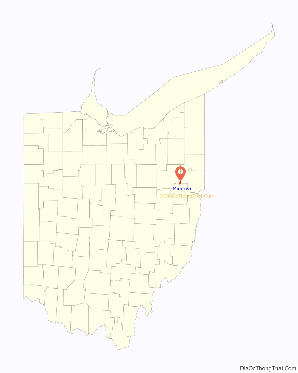
Minerva location map. Where is Minerva village?
History
The village of Minerva began when a surveyor named John Whitacre purchased 125 acres of land from Isaac Craig in 1818 for the construction of a log mill. The town, named for his niece, Minerva Ann Taylor born April 19, 1833, grew up around the mill. Minerva’s first schoolhouse was built in 1846. In its early years the Sandy and Beaver Canal helped drive Minerva’s economy, to be replaced in importance by the Pennsylvania Railroad in the 1840s. Minerva manufacturers Willard and Isaac Pennock patented the United States’ first steel railroad car in the nineteenth century.
In 1915, the town’s weekly newspaper, The Minerva News, charged one dollar for an annual subscription.
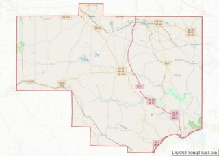
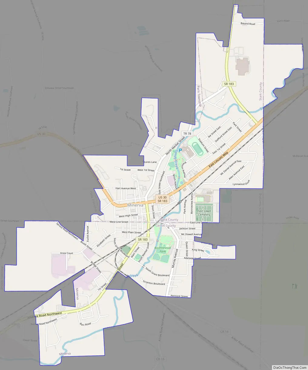
Minerva Road Map
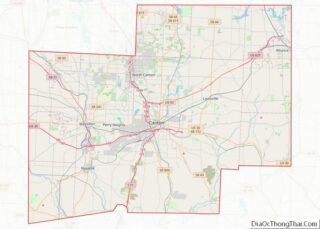
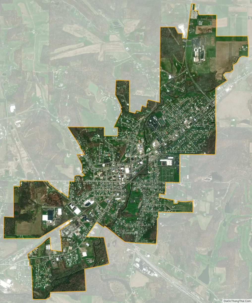
Minerva city Satellite Map
Geography
Minerva is located along Sandy Creek.
According to the United States Census Bureau, the village has a total area of 2.23 square miles (5.78 km), all land.
See also
Map of Ohio State and its subdivision:- Adams
- Allen
- Ashland
- Ashtabula
- Athens
- Auglaize
- Belmont
- Brown
- Butler
- Carroll
- Champaign
- Clark
- Clermont
- Clinton
- Columbiana
- Coshocton
- Crawford
- Cuyahoga
- Darke
- Defiance
- Delaware
- Erie
- Fairfield
- Fayette
- Franklin
- Fulton
- Gallia
- Geauga
- Greene
- Guernsey
- Hamilton
- Hancock
- Hardin
- Harrison
- Henry
- Highland
- Hocking
- Holmes
- Huron
- Jackson
- Jefferson
- Knox
- Lake
- Lake Erie
- Lawrence
- Licking
- Logan
- Lorain
- Lucas
- Madison
- Mahoning
- Marion
- Medina
- Meigs
- Mercer
- Miami
- Monroe
- Montgomery
- Morgan
- Morrow
- Muskingum
- Noble
- Ottawa
- Paulding
- Perry
- Pickaway
- Pike
- Portage
- Preble
- Putnam
- Richland
- Ross
- Sandusky
- Scioto
- Seneca
- Shelby
- Stark
- Summit
- Trumbull
- Tuscarawas
- Union
- Van Wert
- Vinton
- Warren
- Washington
- Wayne
- Williams
- Wood
- Wyandot
- Alabama
- Alaska
- Arizona
- Arkansas
- California
- Colorado
- Connecticut
- Delaware
- District of Columbia
- Florida
- Georgia
- Hawaii
- Idaho
- Illinois
- Indiana
- Iowa
- Kansas
- Kentucky
- Louisiana
- Maine
- Maryland
- Massachusetts
- Michigan
- Minnesota
- Mississippi
- Missouri
- Montana
- Nebraska
- Nevada
- New Hampshire
- New Jersey
- New Mexico
- New York
- North Carolina
- North Dakota
- Ohio
- Oklahoma
- Oregon
- Pennsylvania
- Rhode Island
- South Carolina
- South Dakota
- Tennessee
- Texas
- Utah
- Vermont
- Virginia
- Washington
- West Virginia
- Wisconsin
- Wyoming