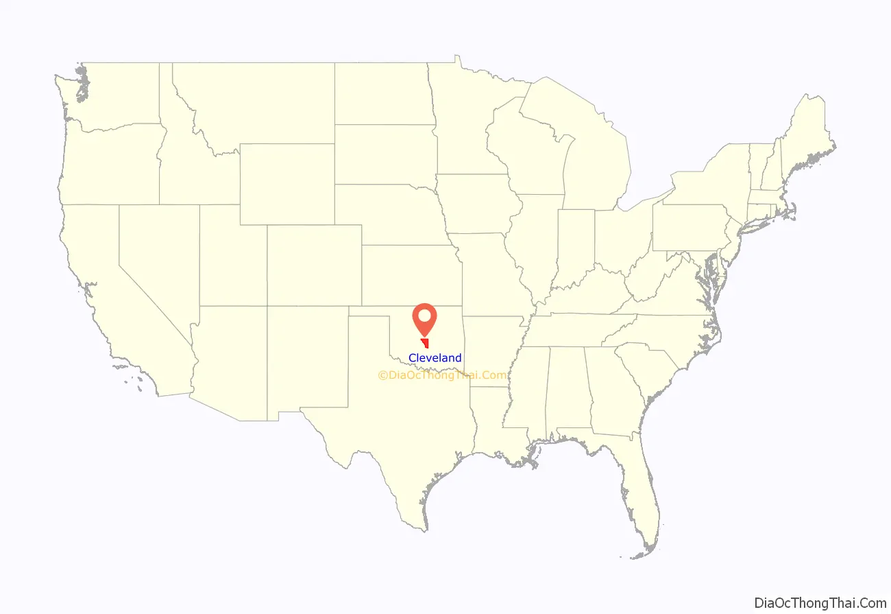
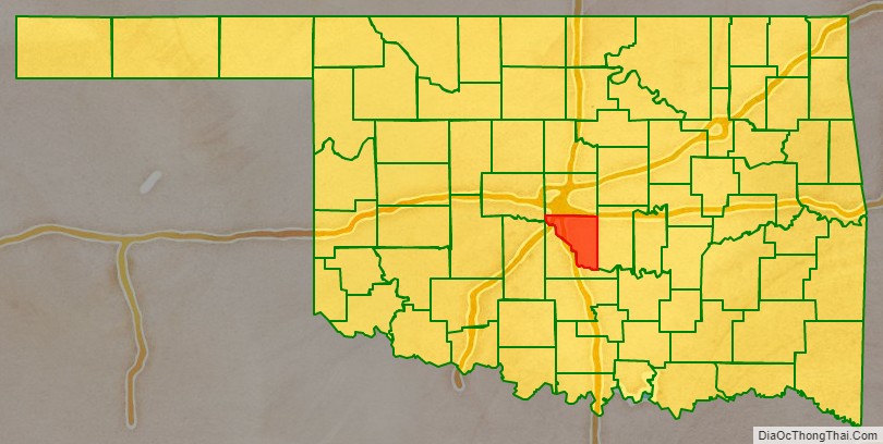
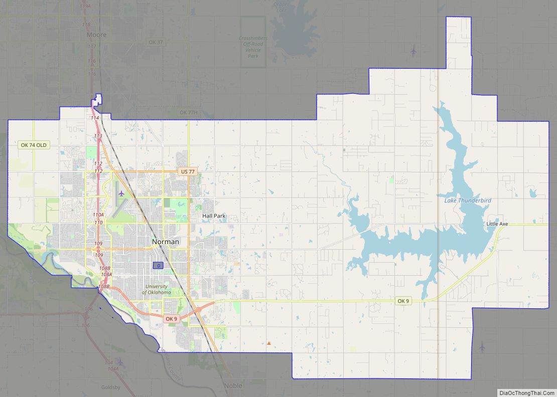
Cleveland County is a county in the central part of the U.S. state of Oklahoma. The population was 295,528 at the 2020 United States Census, making it the third-most populous county in Oklahoma. Its county seat is Norman. The county was named for U.S. President Grover Cleveland.
Cleveland County is part of the Oklahoma City Metropolitan Statistical Area.
| Name: | Cleveland County |
|---|---|
| FIPS code: | 40-027 |
| State: | Oklahoma |
| Founded: | 1890 |
| Named for: | Grover Cleveland |
| Seat: | Norman |
| Largest city: | Norman |
| Total Area: | 558 sq mi (1,450 km²) |
| Land Area: | 539 sq mi (1,400 km²) |
| Total Population: | 295,528 |
| Population Density: | 548.6/sq mi (211.8/km²) |
| Time zone: | UTC−6 (Central) |
| Summer Time Zone (DST): | UTC−5 (CDT) |
| Website: | www.clevelandcountyok.com |
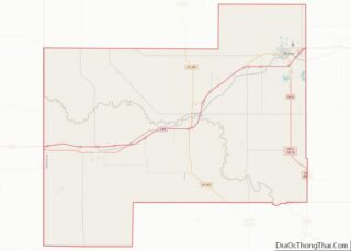
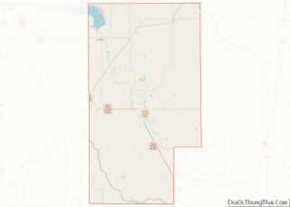
Cleveland County location map. Where is Cleveland County?
History
Originally occupied by the Quapaw tribe, the Quapaw ceded the area to the U.S. Government soon after the Louisiana Purchase in 1818. During the late 1820s and 1830s, the area was given to the Creek and Seminole tribes after their forced removal from the southeastern United States. An agreement between the two tribes resulted in this area being part of the Seminole Nation, located west of the Creek Nation.
In 1866, these tribes were forced to cede the area to the Federal Government; the professed rationale was their siding with the Confederacy during the American Civil War. The area became part of the Unassigned Lands and was opened for white settlement on April 22, 1889.
After the passage of the Organic Act in 1890, Cleveland County was organized as County 3 (of 7) and Norman became the county seat. For a short time, Cleveland County was known as Little River County, until an election in 1890. The voters selected the name Cleveland in honor of President Grover Cleveland over the name Lincoln.
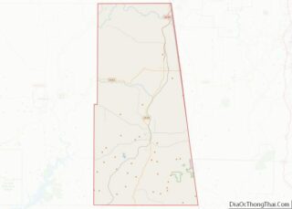
Cleveland County Road Map
Geography
According to the U.S. Census Bureau, the county has a total area of 558 square miles (1,450 km), of which 539 square miles (1,400 km) is land and 19 square miles (49 km) (3.5%) is water. It is the eighth smallest county in the state.
Cleveland County contains the reservoir Lake Thunderbird 5,349 acres (21.65 km), constructed between 1962 and 1965. Its waters covered the previous settlement of Denver.
Cleveland County is the origin of the Little River, a tributary of the Canadian River, 90 miles (140 km) long. The Canadian River defines the southern border of Cleveland County.
Adjacent counties
- Oklahoma County − north
- Pottawatomie County − east
- McClain County − southwest
- Canadian County − northwest
