Moore is a city in Cleveland County, Oklahoma, United States, and is part of the Oklahoma City metropolitan area. The population was 62,793 at the 2020 census, making Moore the seventh-largest city in the state of Oklahoma.
Located between Oklahoma City and Norman, the city has been the site of several devastating tornadoes, with those occurring in 1999 and 2013 receiving international attention. The 3 costliest tornadoes in Oklahoma history all occurred in Moore.
| Name: | Moore city |
|---|---|
| LSAD Code: | 25 |
| LSAD Description: | city (suffix) |
| State: | Oklahoma |
| County: | Cleveland County |
| Founded: | 1889 |
| Incorporated: | 1893 |
| Elevation: | 1,253 ft (382 m) |
| Total Area: | 22.34 sq mi (57.86 km²) |
| Land Area: | 22.09 sq mi (57.21 km²) |
| Water Area: | 0.25 sq mi (0.64 km²) |
| Total Population: | 62,793 |
| Population Density: | 2,842.47/sq mi (1,097.49/km²) |
| ZIP code: | 73160, 73165, 73170 |
| Area code: | 405/572 |
| FIPS code: | 4049200 |
| GNISfeature ID: | 1095494 |
| Website: | cityofmoore.com |
Online Interactive Map
Click on ![]() to view map in "full screen" mode.
to view map in "full screen" mode.
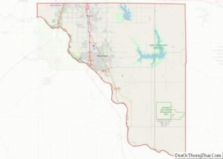
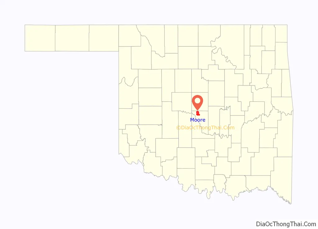
Moore location map. Where is Moore city?

History
The Moore post office was established May 27, 1889, during the Land Run of 1889 and was named for Al Moore, an Atchison, Topeka and Santa Fe Railway employee. According to the town history he was a “conductor or a brakeman, lived in a boxcar at the camp and had difficulty receiving his mail. He painted his name – “Moore” – on a board and nailed it on the boxcar. When a postmaster was appointed, he continued to call the settlement Moore. When the town incorporated in 1893 the name was legalized.”
The city’s history notes that the community before the post office may have been called “Verbeck” by the railroad. However, other histories indicate that Verbeck was actually the original name of the nearby telegraph station “Oklahoma” which became the basis for the founding of Oklahoma City.
The community remained small until 1961, when it annexed 21.6 square miles (56 km), becoming a full-fledged city in 1962, which in turn increased its population from 1,221 in 1960 to 18,761 in 1970 and 55,081 in 2010. Moore’s 1961 annexation kept it an independent city at a time when Oklahoma City through annexations increased its size from 25 square miles (65 km) to 643 square miles (1,670 km) surrounding Moore on three sides (north, east, west). Norman forms its southern border.
In 1966 the Hillsdale Free Will Baptist College, after moving through various locations around Oklahoma, opened in the community.
The Moore post office turned into a branch of the Oklahoma City post office on January 7, 1972.
In the 1970s the city launched a “Smile America” campaign in which giant red, white and blue smileys were painted on the town water towers. A smiley also adorns the city’s official logo (as does a water tower). Some of the water towers now have a sign that says, “Moore – Home of Toby Keith.”
On September 24, 2014, at the local Vaughan Foods food processing plant, one employee was beheaded with a knife and another coworker had her throat slit and was injured, but survived. The alleged attacker, 30-year-old Alton Nolen, who was on suspension from the plant prior to the attack due to interactions with the employee who survived the attack, was shot and wounded by company owner Mark Vaughan. Nolen was convicted of murder and assault in October 2017. A jury recommended that he receive the death penalty, and, on December 15, 2017, a judge sentenced Nolen to death by lethal injection.
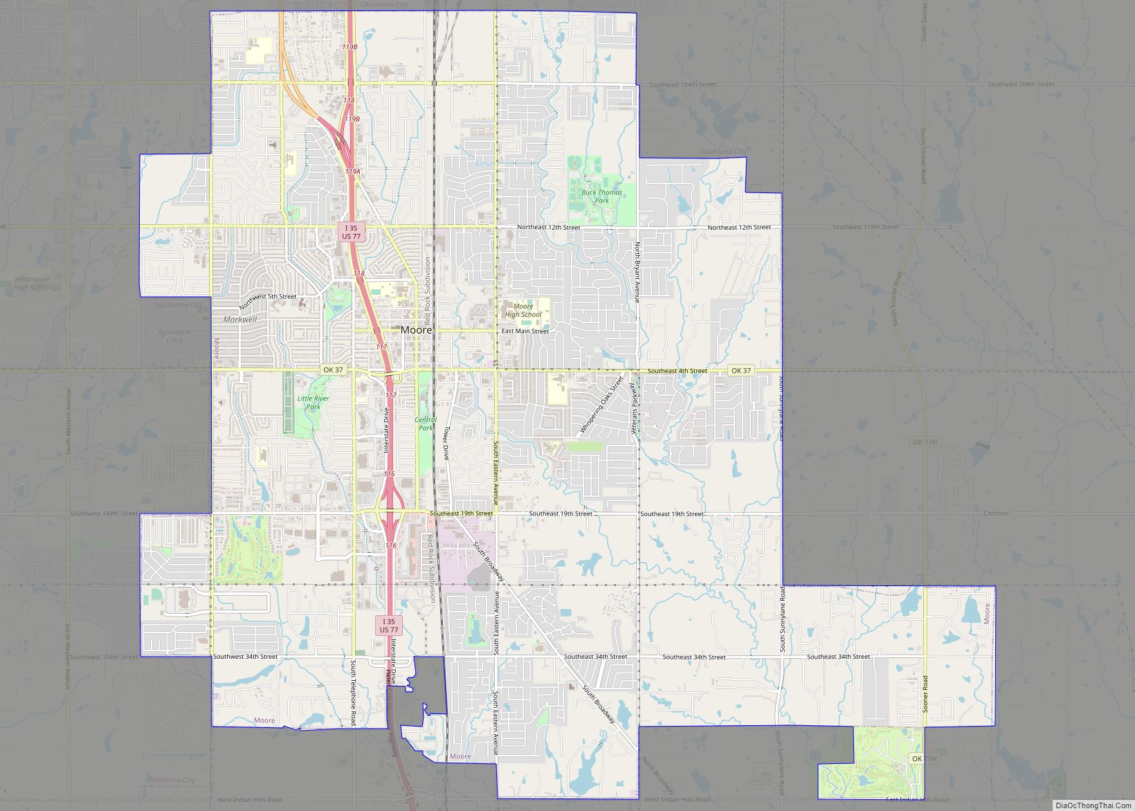
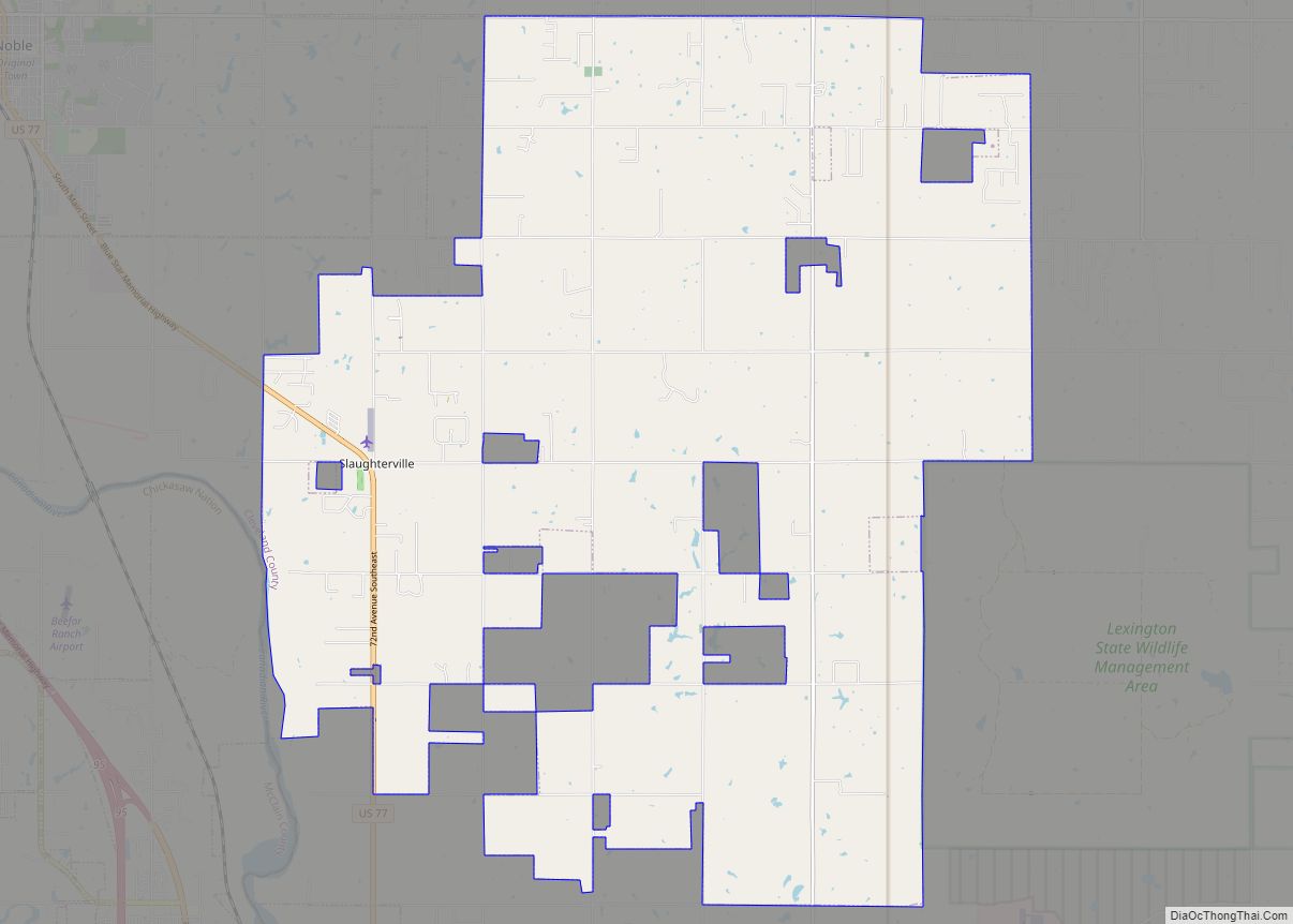
Moore Road Map

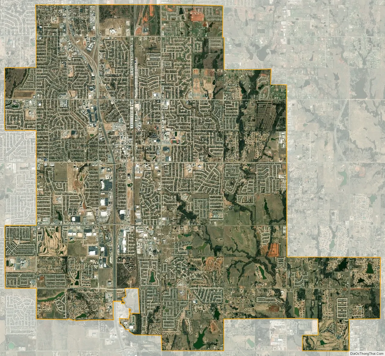
Moore city Satellite Map
Geography
Moore is located just south of Oklahoma City and north of Norman, in central Oklahoma. According to the United States Census Bureau, the city has a total area of 22.2 square miles (57.4 km), of which 21.8 square miles (56.5 km) is land and 0.35 square miles (0.9 km), or 1.52%, is water.
The city lies in the Sandstone Hills region of Oklahoma, known for hills, blackjack oak, and post oak.
See also
Map of Oklahoma State and its subdivision:- Adair
- Alfalfa
- Atoka
- Beaver
- Beckham
- Blaine
- Bryan
- Caddo
- Canadian
- Carter
- Cherokee
- Choctaw
- Cimarron
- Cleveland
- Coal
- Comanche
- Cotton
- Craig
- Creek
- Custer
- Delaware
- Dewey
- Ellis
- Garfield
- Garvin
- Grady
- Grant
- Greer
- Harmon
- Harper
- Haskell
- Hughes
- Jackson
- Jefferson
- Johnston
- Kay
- Kingfisher
- Kiowa
- Latimer
- Le Flore
- Lincoln
- Logan
- Love
- Major
- Marshall
- Mayes
- McClain
- McCurtain
- McIntosh
- Murray
- Muskogee
- Noble
- Nowata
- Okfuskee
- Oklahoma
- Okmulgee
- Osage
- Ottawa
- Pawnee
- Payne
- Pittsburg
- Pontotoc
- Pottawatomie
- Pushmataha
- Roger Mills
- Rogers
- Seminole
- Sequoyah
- Stephens
- Texas
- Tillman
- Tulsa
- Wagoner
- Washington
- Washita
- Woods
- Woodward
- Alabama
- Alaska
- Arizona
- Arkansas
- California
- Colorado
- Connecticut
- Delaware
- District of Columbia
- Florida
- Georgia
- Hawaii
- Idaho
- Illinois
- Indiana
- Iowa
- Kansas
- Kentucky
- Louisiana
- Maine
- Maryland
- Massachusetts
- Michigan
- Minnesota
- Mississippi
- Missouri
- Montana
- Nebraska
- Nevada
- New Hampshire
- New Jersey
- New Mexico
- New York
- North Carolina
- North Dakota
- Ohio
- Oklahoma
- Oregon
- Pennsylvania
- Rhode Island
- South Carolina
- South Dakota
- Tennessee
- Texas
- Utah
- Vermont
- Virginia
- Washington
- West Virginia
- Wisconsin
- Wyoming