Lexington is a city in Cleveland County, Oklahoma, United States. The city population was 2010 at the 2020 census, a 6.6% decrease from 2010.
| Name: | Lexington city |
|---|---|
| LSAD Code: | 25 |
| LSAD Description: | city (suffix) |
| State: | Oklahoma |
| County: | Cleveland County |
| Elevation: | 1,033 ft (315 m) |
| Total Area: | 2.48 sq mi (6.43 km²) |
| Land Area: | 2.41 sq mi (6.24 km²) |
| Water Area: | 0.07 sq mi (0.19 km²) |
| Total Population: | 2,010 |
| Population Density: | 833.68/sq mi (321.91/km²) |
| ZIP code: | 73051 |
| Area code: | 405/572 |
| FIPS code: | 4042700 |
| GNISfeature ID: | 1094597 |
| Website: | cityoflexington.com |
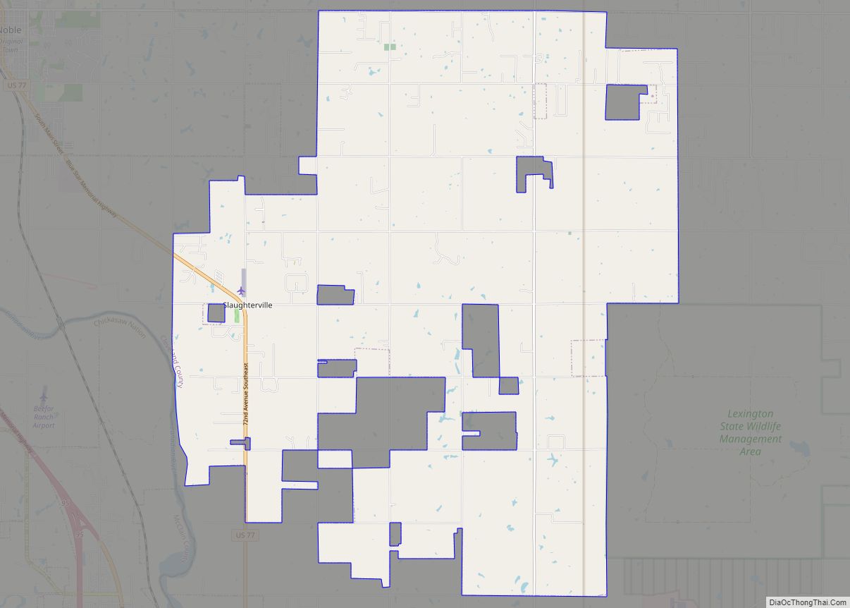
Online Interactive Map
Click on ![]() to view map in "full screen" mode.
to view map in "full screen" mode.
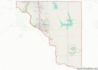
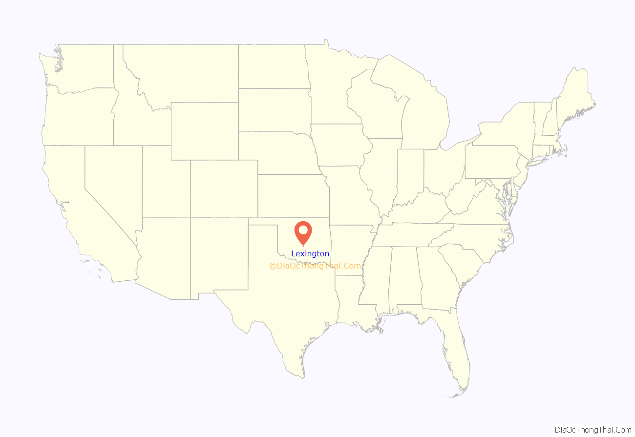
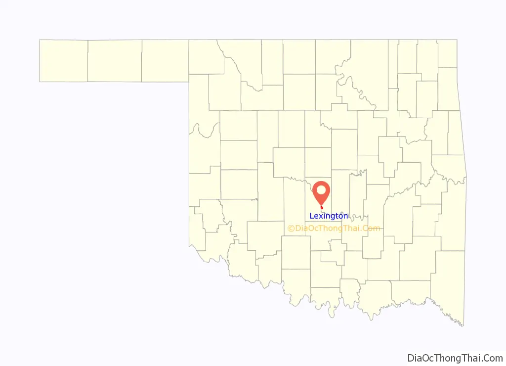
Lexington location map. Where is Lexington city?
History
In 1835, north of the present town, Major Richard B. Mason established Camp Holmes. Here, the Five Civilized Tribes, many of the Plains Indians and the Osage Nation met and signed the treaty of Camp Holmes, pledging peace and friendship among themselves and the United States. Later, Auguste P. Chouteau established a trading post here and renamed the place Camp Mason. Jesse Chisholm operated a store here.
The area of Lexington was in the Unassigned Lands, and the town was planned before the Land Rush of 1889. The town was named after Lexington, Kentucky. The post office was established in 1890.
The first incorporation of Lexington in 1890 was dissolved after political infighting and a dispute over high taxes on liquor sales. After a compromise was reached, the town reincorporated in 1892.
Before Oklahoma statehood in 1907, Lexington was known as a “whiskey town”. Much of the business came from across the Canadian River from the thriving railroad town of Purcell which was located in dry Indian Territory. The Weitzenhoffer and Turk Distillery, the largest distillery in Oklahoma Territory, opened near Lexington in 1900 and operated until statewide prohibition in 1907.
During World War II, the Navy operated a gunnery school east of Lexington. After the war, the State of Oklahoma acquired the property and built an annex to Central State Mental Hospital (later Griffin Memorial Hospital). In 1971, the Department of Corrections acquired the property and opened a minimum security prison called the Regional Treatment Center. In 1976, the state began construction on the Lexington Assessment and Reception Center (LARC) which processes all new prisoners entering the state correctional system. The Regional Treatment Center was re-designated as the Joseph Harp Correctional Center, a medium-security prison.
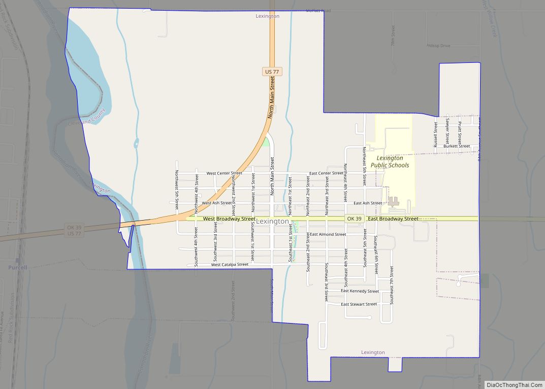
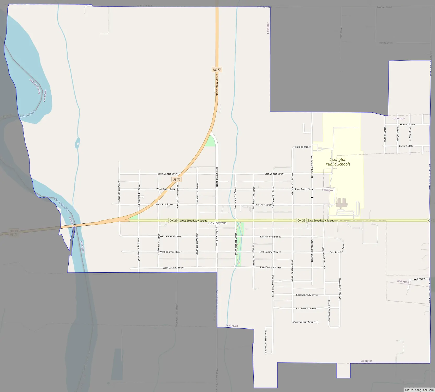
Lexington Road Map
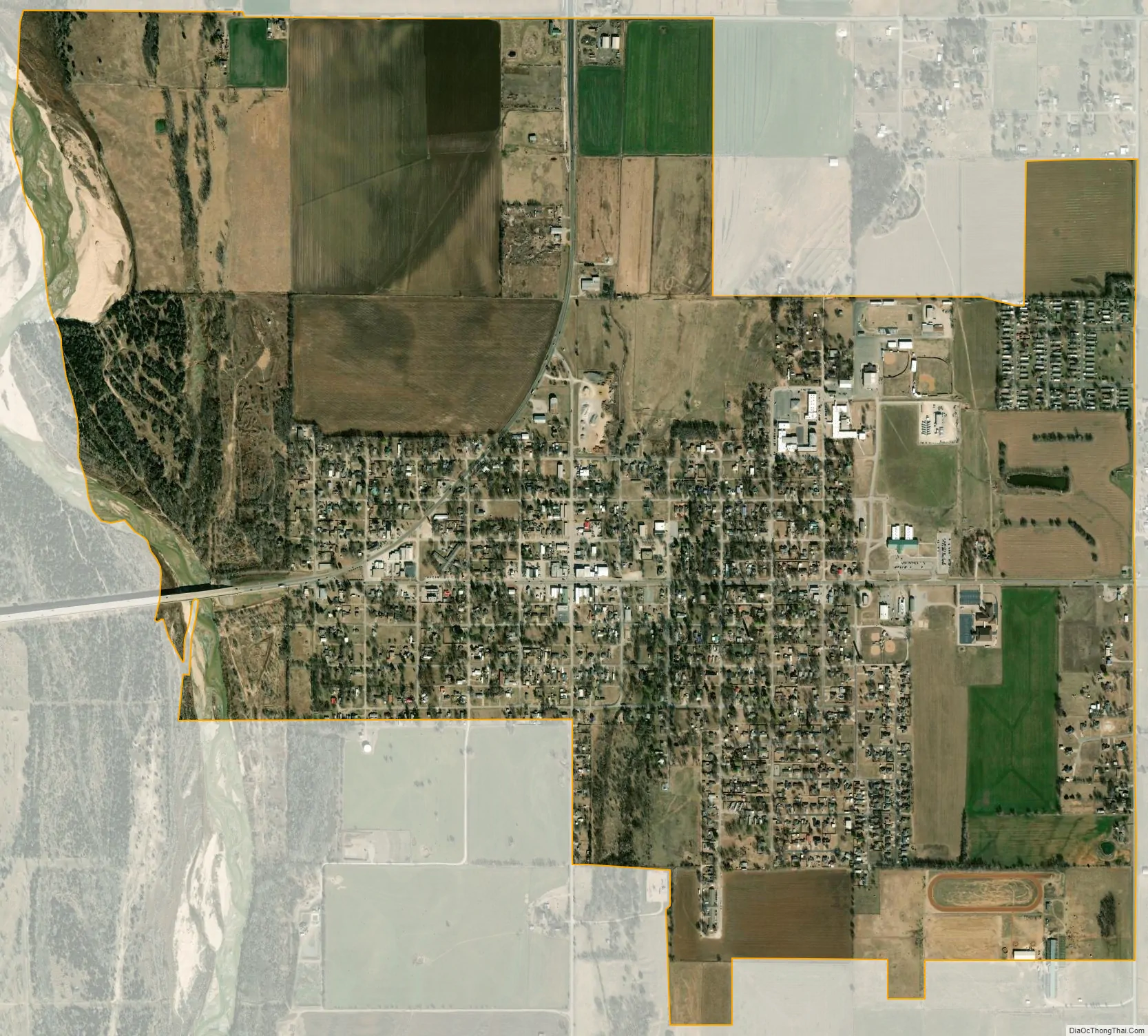
Lexington city Satellite Map
Geography
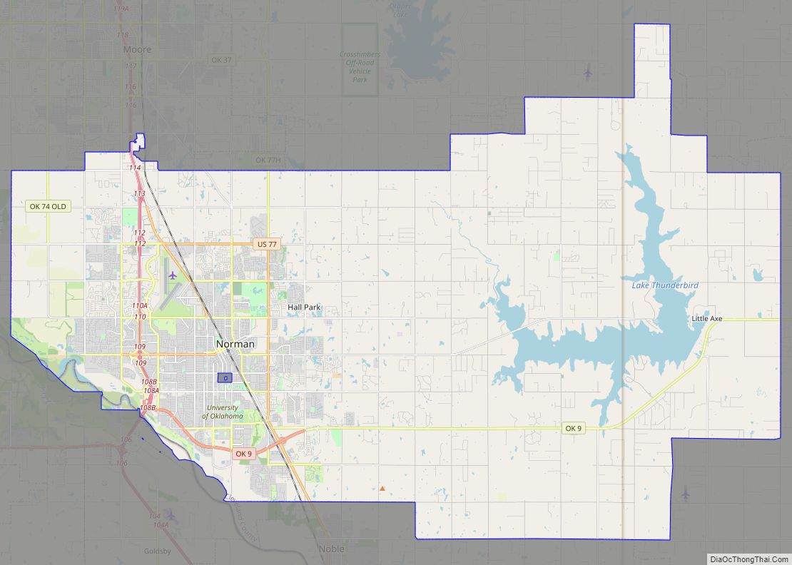
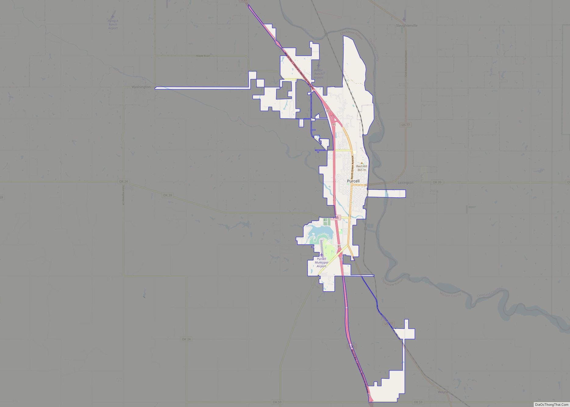
Lexington is located in southern Cleveland County at 35°0′55″N 97°20′10″W / 35.01528°N 97.33611°W / 35.01528; -97.33611. It is bordered on the west by the Canadian River, which forms the McClain County line. The city of Purcell is directly across the river from Lexington, connected by U.S. Route 77. US 77 leads north from Lexington 16 miles (26 km) to Norman and 38 miles (61 km) to the center of Oklahoma City.
According to the United States Census Bureau, Lexington has a total area of 2.4 square miles (6.2 km), all land.
See also
Map of Oklahoma State and its subdivision:- Adair
- Alfalfa
- Atoka
- Beaver
- Beckham
- Blaine
- Bryan
- Caddo
- Canadian
- Carter
- Cherokee
- Choctaw
- Cimarron
- Cleveland
- Coal
- Comanche
- Cotton
- Craig
- Creek
- Custer
- Delaware
- Dewey
- Ellis
- Garfield
- Garvin
- Grady
- Grant
- Greer
- Harmon
- Harper
- Haskell
- Hughes
- Jackson
- Jefferson
- Johnston
- Kay
- Kingfisher
- Kiowa
- Latimer
- Le Flore
- Lincoln
- Logan
- Love
- Major
- Marshall
- Mayes
- McClain
- McCurtain
- McIntosh
- Murray
- Muskogee
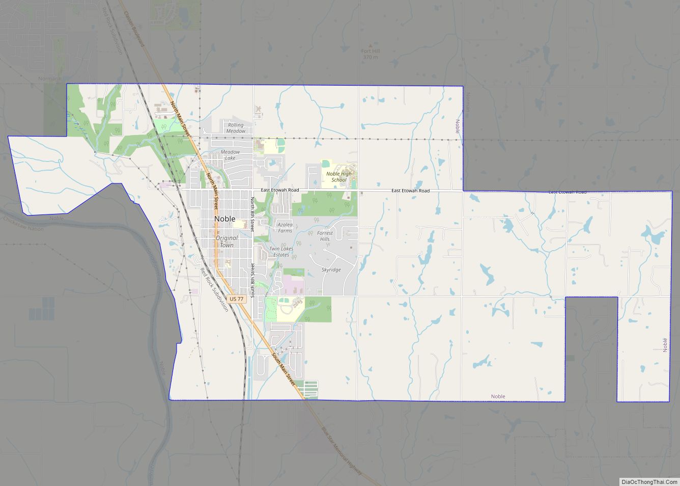
- Noble
- Nowata
- Okfuskee
- Oklahoma
- Okmulgee
- Osage
- Ottawa
- Pawnee
- Payne
- Pittsburg
- Pontotoc
- Pottawatomie
- Pushmataha
- Roger Mills
- Rogers
- Seminole
- Sequoyah
- Stephens
- Texas
- Tillman
- Tulsa
- Wagoner
- Washington
- Washita
- Woods
- Woodward
- Alabama
- Alaska
- Arizona
- Arkansas
- California
- Colorado
- Connecticut
- Delaware
- District of Columbia
- Florida
- Georgia
- Hawaii
- Idaho
- Illinois
- Indiana
- Iowa
- Kansas
- Kentucky
- Louisiana
- Maine
- Maryland
- Massachusetts
- Michigan
- Minnesota
- Mississippi
- Missouri
- Montana
- Nebraska
- Nevada
- New Hampshire
- New Jersey
- New Mexico
- New York
- North Carolina
- North Dakota
- Ohio
- Oklahoma
- Oregon
- Pennsylvania
- Rhode Island
- South Carolina
- South Dakota
- Tennessee
- Texas
- Utah
- Vermont
- Virginia
- Washington
- West Virginia
- Wisconsin
- Wyoming