| Name: | Colfax County |
|---|---|
| FIPS code: | 31-037 |
| State: | Nebraska |
| Founded: | 1869 |
| Named for: | Schuyler Colfax |
| Seat: | Schuyler |
| Largest city: | Schuyler |
| Total Area: | 417 sq mi (1,080 km²) |
| Land Area: | 412 sq mi (1,070 km²) |
| Total Population: | 10,498 |
| Population Density: | 25.7/sq mi (9.9/km²) |
| Time zone: | UTC−6 (Central) |
| Summer Time Zone (DST): | UTC−5 (CDT) |
| Website: | www.colfaxne.com |
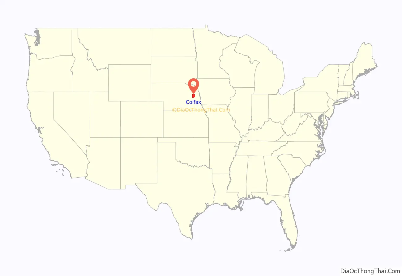
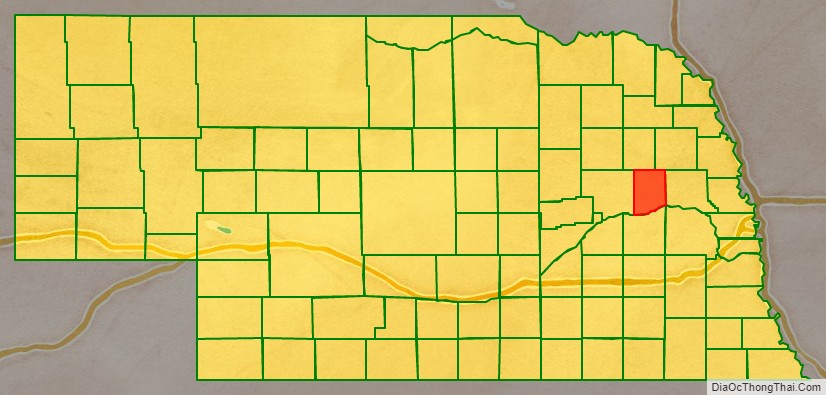
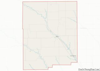
Colfax County location map. Where is Colfax County?
History
Colfax County was established by the Nebraska legislature in 1869, as part of the division of Platte County into three parts. The new county was named for Schuyler Colfax, then the Vice-President of the United States. The site of Shell Creek Station on the Union Pacific Railroad was chosen as the county seat, and renamed Schuyler also after Colfax. Schuyler was incorporated in 1870, and the county’s first courthouse was constructed in 1872.
Colfax County in May 2020 had the sixth-highest per capita COVID-19 infection rate of any American county. About one of every 23 residents has tested positive, with 467 cases. As of October 2020, one in every 13 residents has tested positive, with 798 cases.
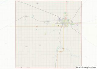
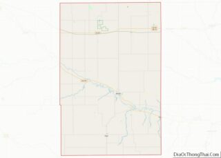
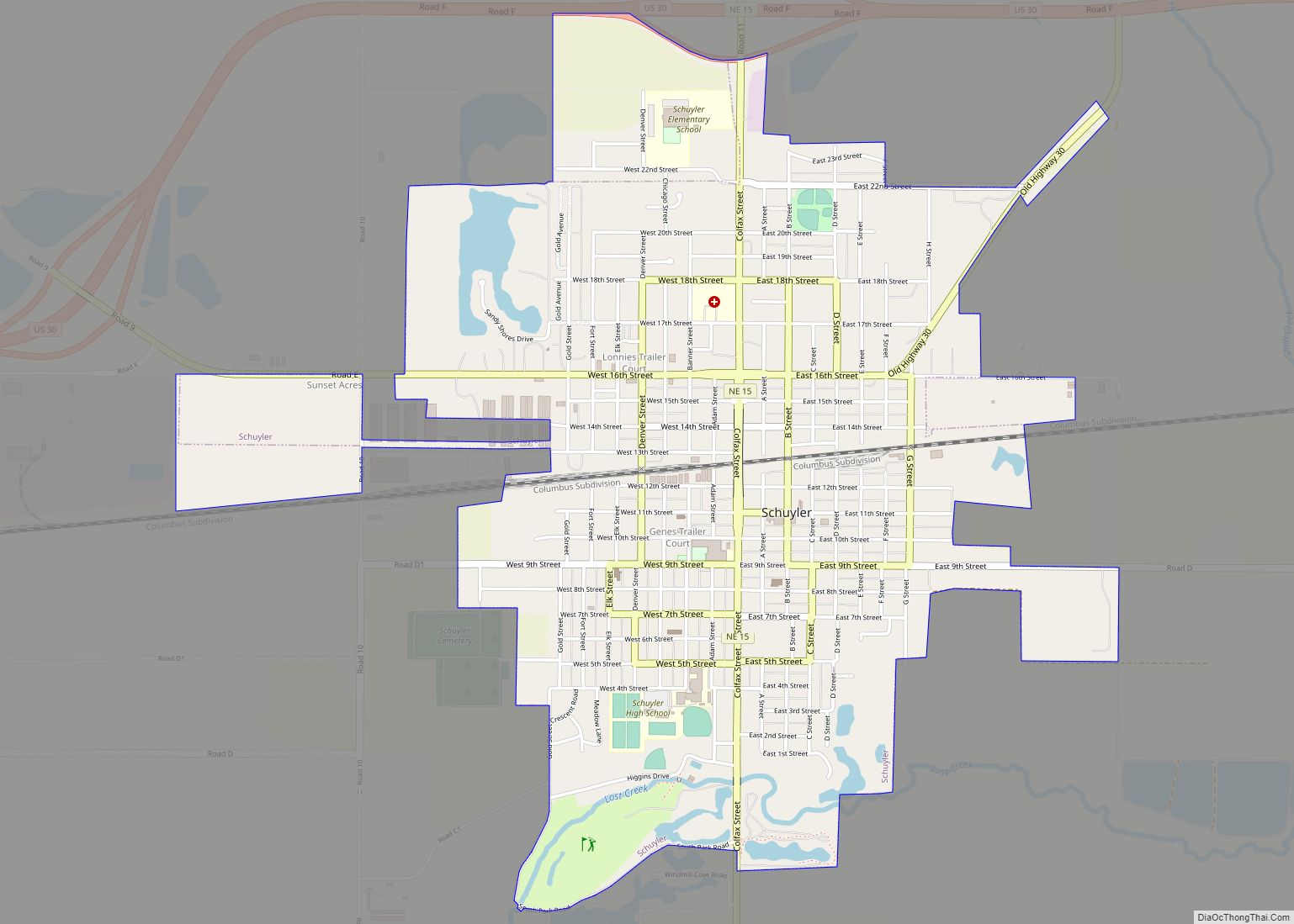
Colfax County Road Map
Geography
According to the US Census Bureau, the county has an area of 417 square miles (1,080 km), of which 412 square miles (1,070 km) is land and 4.9 square miles (13 km) (1.2%) is water.
Major highways
- U.S. Highway 30
- Nebraska Highway 15
- Nebraska Highway 57
- Nebraska Highway 91
Adjacent counties
- Dodge County – east
- Butler County – south
- Platte County – west
- Stanton County – north
- Cuming County – northeast
