Schuyler is a city in Colfax County, Nebraska, United States. The population was 6,211 at the 2010 census. It is the county seat of Colfax County. The city (as well as the county) is named after former Vice President of the United States, Schuyler Colfax.
| Name: | Schuyler city |
|---|---|
| LSAD Code: | 25 |
| LSAD Description: | city (suffix) |
| State: | Nebraska |
| County: | Colfax County |
| Elevation: | 1,352 ft (412 m) |
| Total Area: | 2.81 sq mi (7.28 km²) |
| Land Area: | 2.73 sq mi (7.06 km²) |
| Water Area: | 0.09 sq mi (0.22 km²) |
| Total Population: | 6,547 |
| Population Density: | 2,400.81/sq mi (927.02/km²) |
| ZIP code: | 68661 |
| Area code: | 402 |
| FIPS code: | 3144035 |
| GNISfeature ID: | 0833306 |
| Website: | schuylernebraska.net |
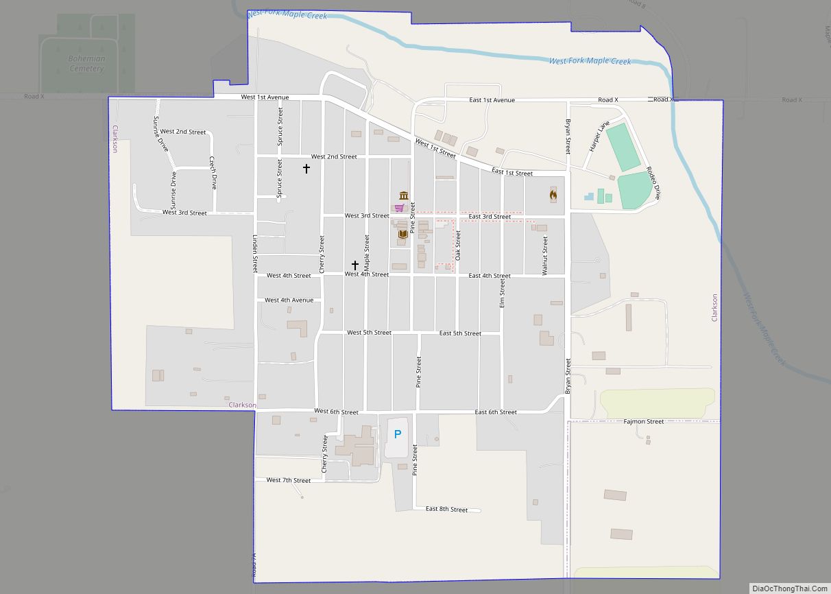
Online Interactive Map
Click on ![]() to view map in "full screen" mode.
to view map in "full screen" mode.
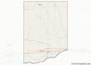
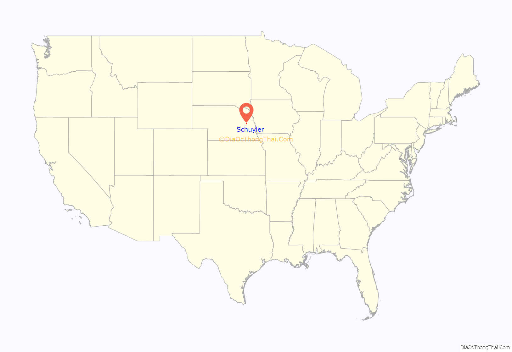
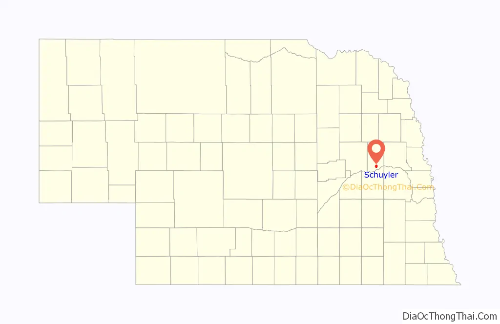
Schuyler location map. Where is Schuyler city?
History
In 1866, the Union Pacific Railroad reached present-day Schuyler, at the time known as Shell Creek Station. Three years later, the Nebraska State Legislature divided large Platte County into three smaller counties, including Colfax County. In 1870, Shell Creek Station was renamed Schuyler.
In 1870, the Union Pacific chose the town as the point at which Texas cattle being driven north would be loaded onto trains. With this, Schuyler became Nebraska’s first “cow town”. However, the resulting boom, which saw a six-fold increase in the town’s population (from 100 to 600) and around 50,000 head of cattle pass through, was only temporary: the next year, the terminus of the cattle trail had moved west to Kearney.
The city’s early residents were Czech, Irish, and German settlers. Settlement was enabled by Schuyler’s geographic position, which caused the community to be associated with a number of historic overland transportation routes, including:
- Oregon Trail (1836–1869)
- Mormon Trail (1840s–1850s)
- Transcontinental Railway (1866–present)
- Coast-to-coast Lincoln Highway (1913–1925)
Beginning in the late 1980s, reductions in wages at the Cargill plant led to a change in Schuyler’s demographic makeup. By 2017, an estimated 60% of the population was Latino, and immigrants from other parts of the world, including Somalia and Thailand, had also moved into the city.
In Dec. 2020, the Schuyler City Council rejected a board of health, which would have potentially resulted in a mask mandate. In January 2021, the city council established a board of health and appointed members, after two previous attempts failed. The council passed a revised ordinance which gave the board power to only suggest actions to the city council.
In March 2021, law enforcement sent a letter to Schuyler Community Schools complaining about an incident on February 24, 2021 involving a student. Law enforcement also said the relationship between the two entities was strained.
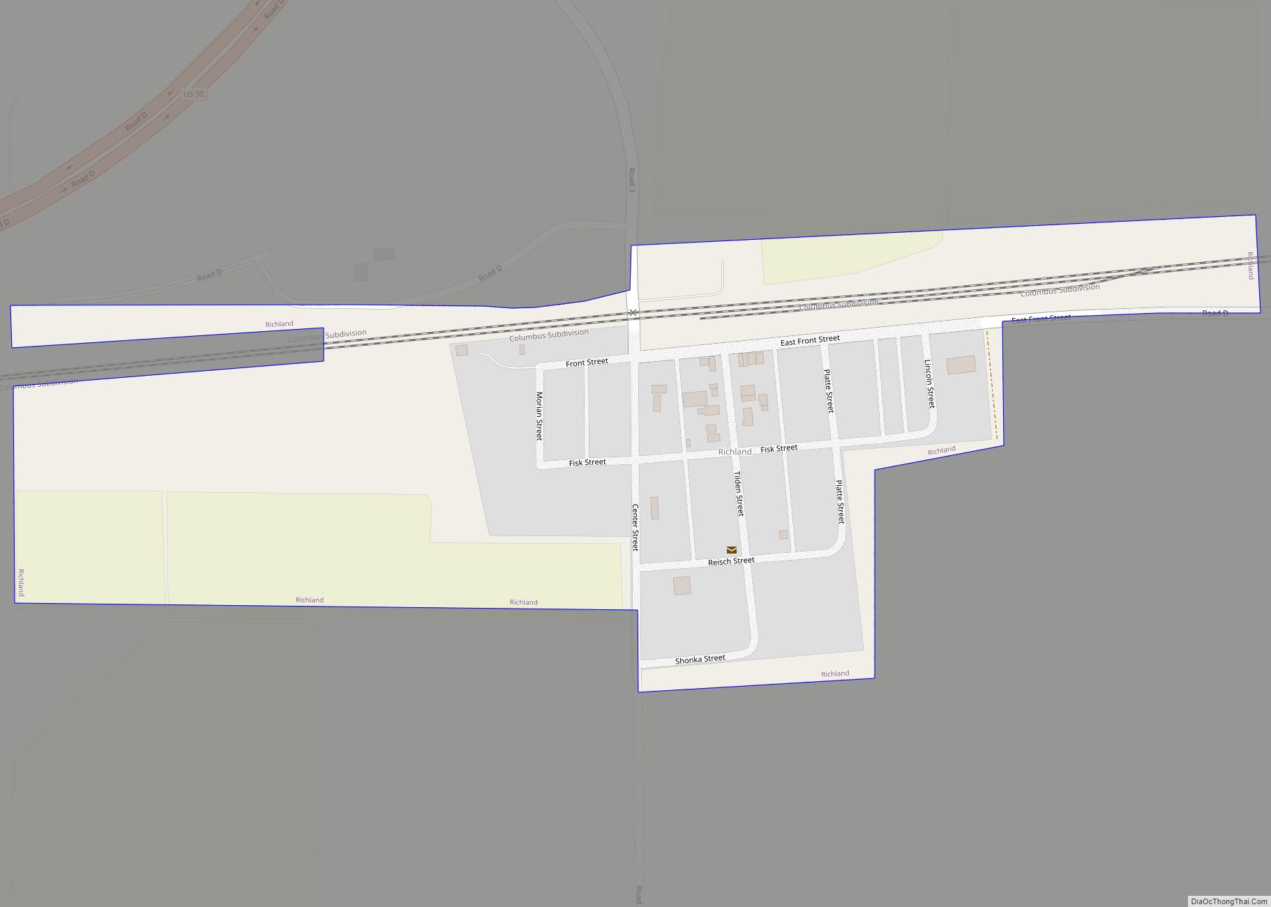
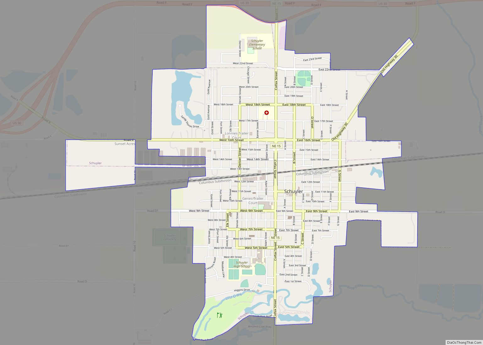
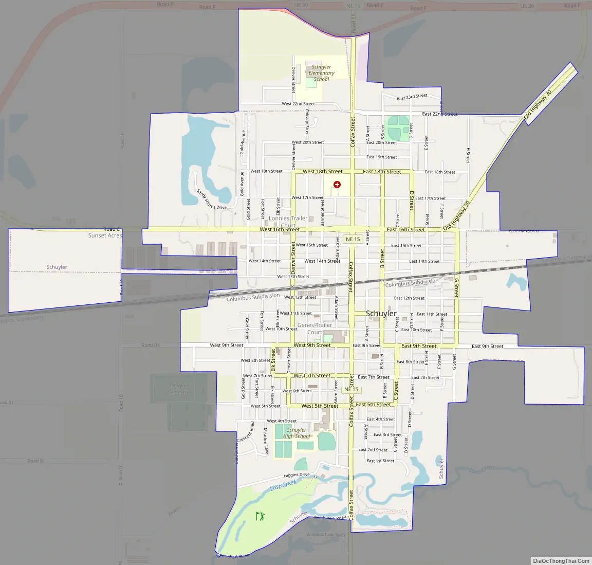
Schuyler Road Map
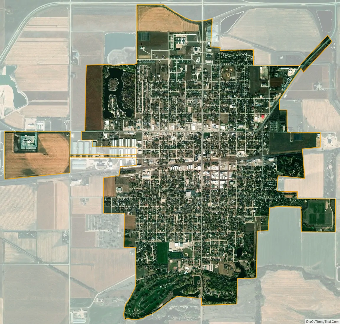
Schuyler city Satellite Map
Geography
Schuyler is located at 41°26′56″N 97°3′37″W / 41.44889°N 97.06028°W / 41.44889; -97.06028 (41.448916, −97.060195).
According to the United States Census Bureau, the city has a total area of 2.67 square miles (6.92 km), of which 2.58 square miles (6.68 km) is land and 0.09 square miles (0.23 km) is water.
See also
Map of Nebraska State and its subdivision:- Adams
- Antelope
- Arthur
- Banner
- Blaine
- Boone
- Box Butte
- Boyd
- Brown
- Buffalo
- Burt
- Butler
- Cass
- Cedar
- Chase
- Cherry
- Cheyenne
- Clay
- Colfax
- Cuming
- Custer
- Dakota
- Dawes
- Dawson
- Deuel
- Dixon
- Dodge
- Douglas
- Dundy
- Fillmore
- Franklin
- Frontier
- Furnas
- Gage
- Garden
- Garfield
- Gosper
- Grant
- Greeley
- Hall
- Hamilton
- Harlan
- Hayes
- Hitchcock
- Holt
- Hooker
- Howard
- Jefferson
- Johnson
- Kearney
- Keith
- Keya Paha
- Kimball
- Knox
- Lancaster
- Lincoln
- Logan
- Loup
- Madison
- McPherson
- Merrick
- Morrill
- Nance
- Nemaha
- Nuckolls
- Otoe
- Pawnee
- Perkins
- Phelps
- Pierce
- Platte
- Polk
- Red Willow
- Richardson
- Rock
- Saline
- Sarpy
- Saunders
- Scotts Bluff
- Seward
- Sheridan
- Sherman
- Sioux
- Stanton
- Thayer
- Thomas
- Thurston
- Valley
- Washington
- Wayne
- Webster
- Wheeler
- York
- Alabama
- Alaska
- Arizona
- Arkansas
- California
- Colorado
- Connecticut
- Delaware
- District of Columbia
- Florida
- Georgia
- Hawaii
- Idaho
- Illinois
- Indiana
- Iowa
- Kansas
- Kentucky
- Louisiana
- Maine
- Maryland
- Massachusetts
- Michigan
- Minnesota
- Mississippi
- Missouri
- Montana
- Nebraska
- Nevada
- New Hampshire
- New Jersey
- New Mexico
- New York
- North Carolina
- North Dakota
- Ohio
- Oklahoma
- Oregon
- Pennsylvania
- Rhode Island
- South Carolina
- South Dakota
- Tennessee
- Texas
- Utah
- Vermont
- Virginia
- Washington
- West Virginia
- Wisconsin
- Wyoming