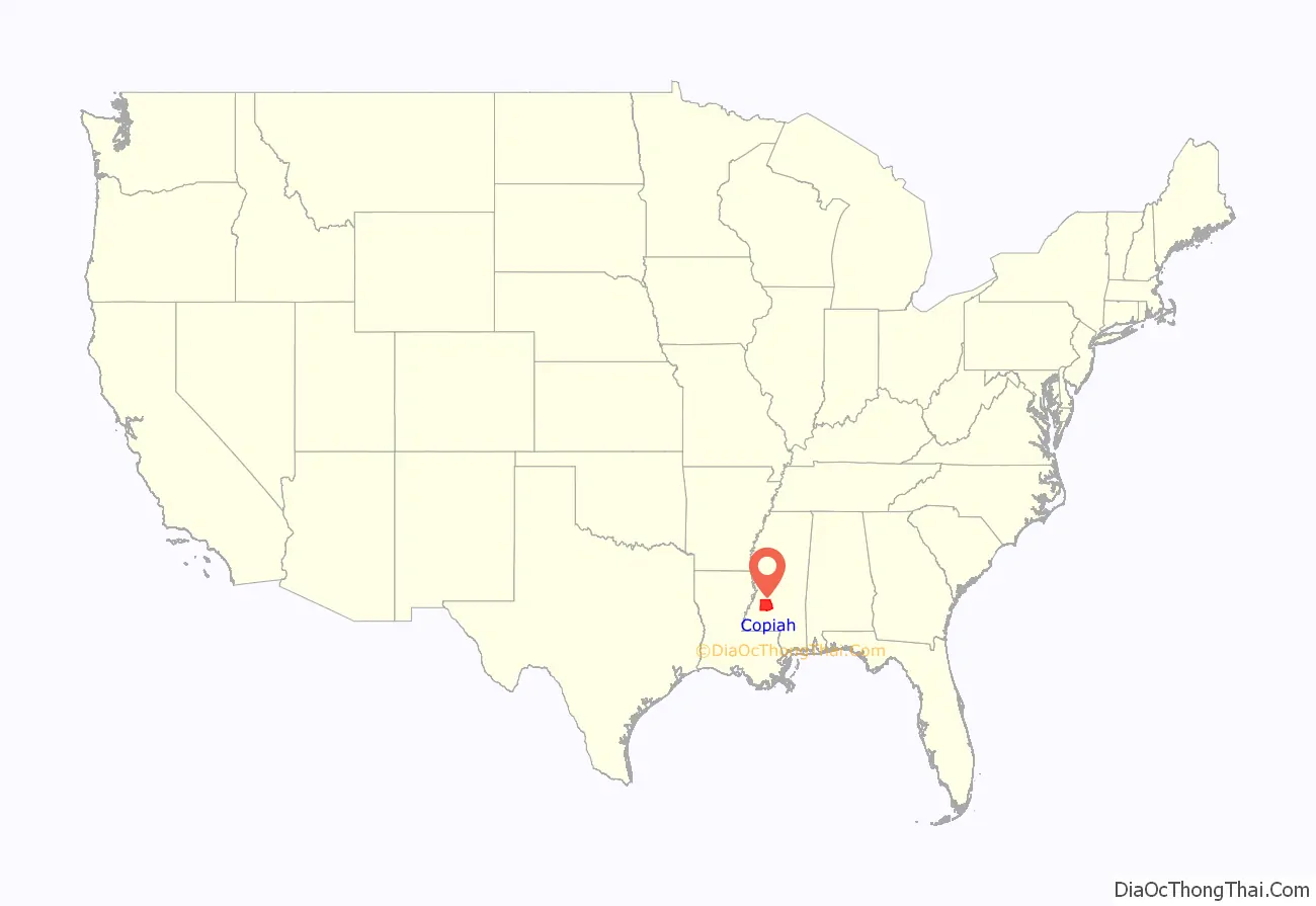
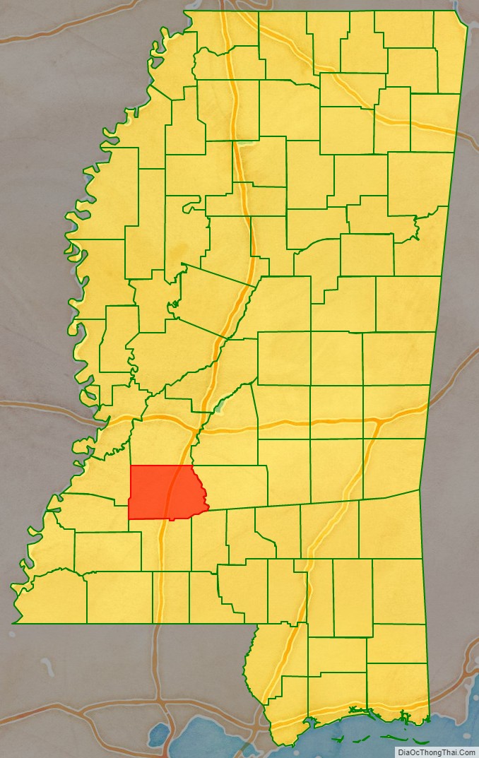
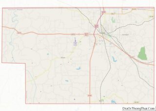
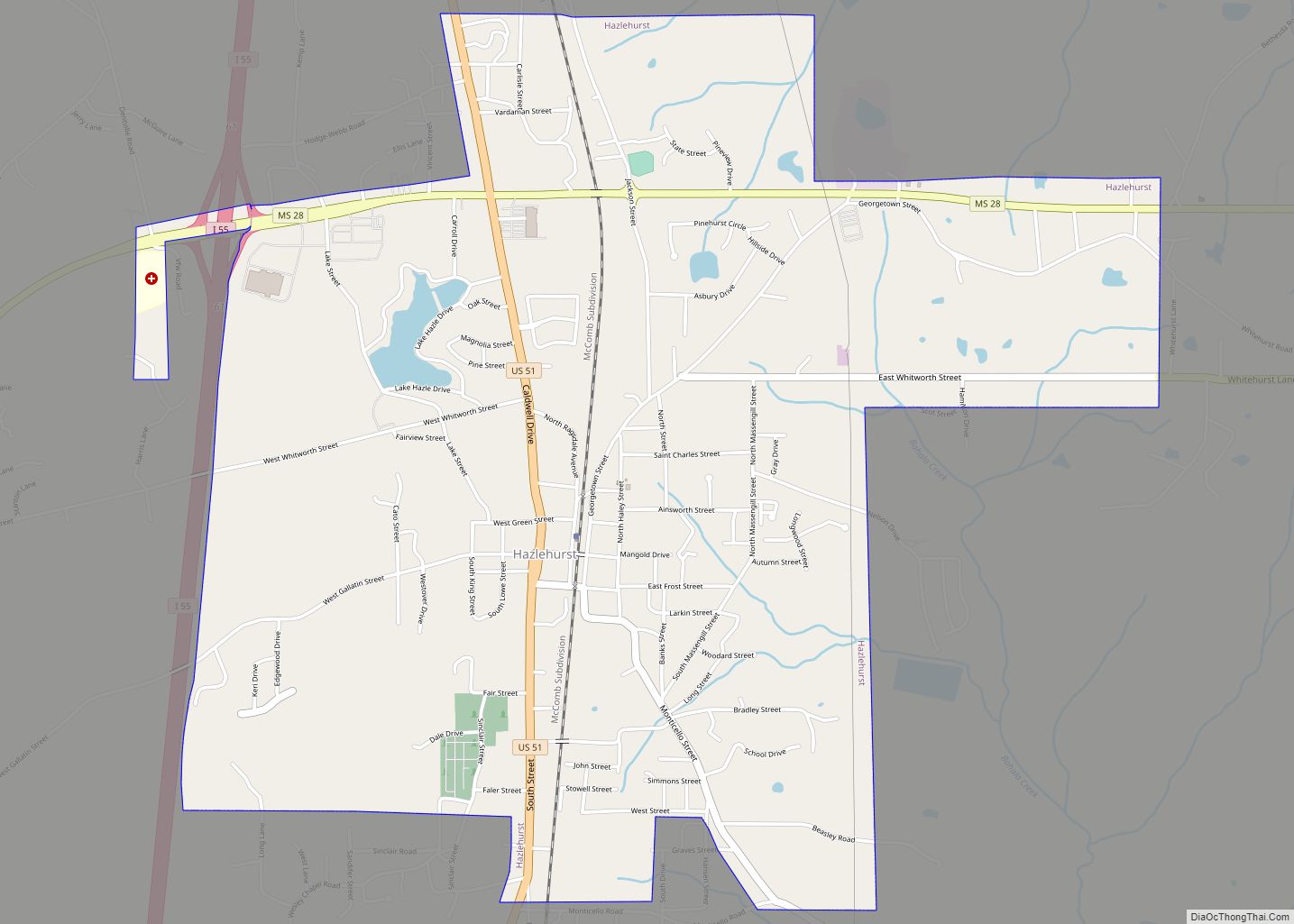
Copiah County is a county located in the U.S. state of Mississippi. As of the 2020 census, the population was 28,368. The county seat is Hazlehurst.
With an eastern border formed by the Pearl River, Copiah County is part of the Jackson, MS Metropolitan Statistical Area.
| Name: | Copiah County |
|---|---|
| FIPS code: | 28-029 |
| State: | Mississippi |
| Founded: | 1823 |
| Seat: | Hazlehurst |
| Largest city: | Crystal Springs |
| Total Area: | 779 sq mi (2,020 km²) |
| Land Area: | 777 sq mi (2,010 km²) |
| Total Population: | 28,368 |
| Population Density: | 36/sq mi (14/km²) |
| Time zone: | UTC−6 (Central) |
| Summer Time Zone (DST): | UTC−5 (CDT) |
| Website: | www.copiahcounty.org |
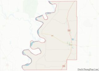
Copiah County location map. Where is Copiah County?
History
Copiah, from a Choctaw Indian word meaning calling panther, was organized in 1823 as Mississippi’s 18th county. In the year of county organization, Walter Leake served as governor and James Monroe as President of the United States. In 2004 Calling Panther Lake, commemorating this name, was opened up just West and North of Crystal Springs near the Jack and New Zion community.
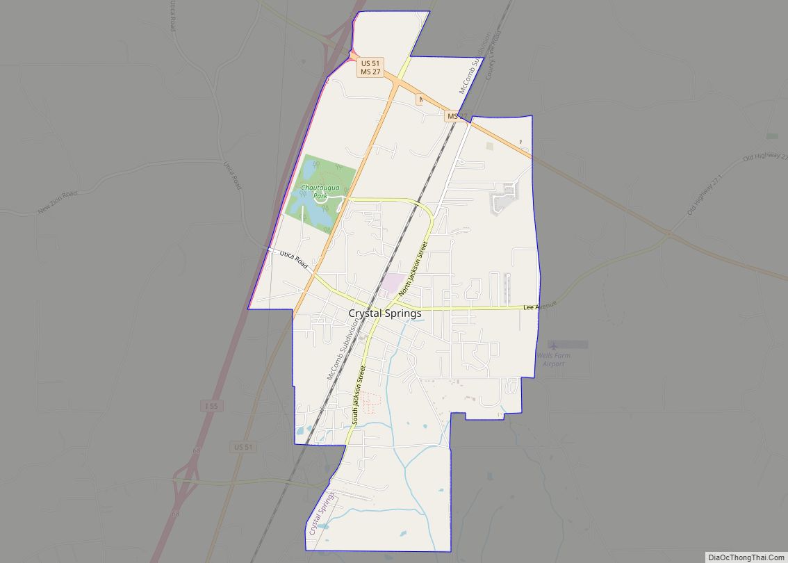
Soon after the Choctaw Indians relinquished their claims to this land in 1819 and the legislature formed Copiah County in 1823, Elisha Lott, a Methodist minister who had worked among the Indians, brought his family from Hancock County to a location near the present site of Crystal Springs. When the New Orleans, Jackson and Great Northern Railroad built in the area in 1858, a new town was created about a mile and a half west of the old settlement. The new settlement took the name Crystal Springs and the old settlement became Old Crystal Springs.
William J. Willing’s home was the first to be built in the new town, and Jefferson Davis, president of the Confederacy, once made a speech from the front yard. Ozious Osborne owned the first merchandise store on a corner of his residence lot on south Jackson Street. This lot later became the Merchants Grocery Company’s site.
The development of cotton agriculture in the county was based on , and the population was before the Civil War.
The first church built was the Methodist in 1860 in Hazelhurst. It was followed by the Baptist in 1861, Presbyterian in 1870. Trinity Episcopal was built in 1882, during a growth in the US Episcopal Church. After the American Civil War, most freedmen withdrew from white churches to establish their own independent congregations, setting up state associations of Baptists by the end of the nineteenth century.
The county expanded its production of commercial vegetable crops, known as truck farming, in the 19th and 20th centuries. Crystal Springs developed as one of the largest tomato shipping centers. Its commercial farming started in 1870 when the first shipment of peaches, grown by James Sturgis, was shipped to New Orleans and Chicago markets. Tomatoes were still known as “love apples” when N. Piazza imported seeds from Italy, and with help from S. H. Stackhouse, began scientific cultivation of tomato plants. With the help of German immigrant Augustus Lotterhos, the industry achieved success. In 1878, Lotterhos pooled the products of a number of tomato growers and shipped the first boxcar load to Denver, Colorado.
In the 1960s, Hazlehurst and Crystal Springs were centers of civil rights activism in the southwest part of the state. In addition to working with the Freedom Democratic Party in 1964 on voter registration and education, they organized to make progress after passage of federal civil rights legislation in 1964 and 1965. With the aid of Deacons for Defense and Justice, to protect protesters working with the NAACP on boycotts of merchants in 1966 and 1967 in order to gain integration of public facilities and implement civil rights legislation. The Deacons for Defense had first been organized in Natchez in 1965 to protect African-American protesters, after considerable earlier violence in the state against protesters.
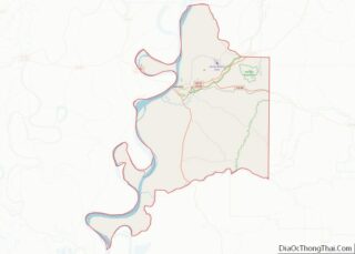
Copiah County Road Map
Geography
According to the U.S. Census Bureau, the county has a total area of 779 square miles (2,020 km), of which 777 square miles (2,010 km) is land and 2.2 square miles (5.7 km) (0.3%) is water.
Major highways
- Interstate 55
- U.S. Highway 51
- Mississippi Highway 18
- Mississippi Highway 27
- Mississippi Highway 28
- Mississippi Highway 844
Adjacent counties
- Hinds County (north)
- Simpson County (east)
- Lawrence County (southeast)
- Lincoln County (south)
- Jefferson County (southwest)
- Claiborne County (west)
National protected area
- Homochitto National Forest (part)
