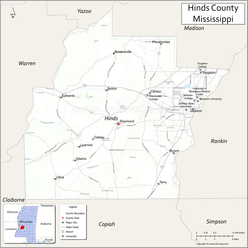
Hinds County is a county located in the U.S. state of Mississippi. With its county seats (Raymond and the state’s capital, Jackson), Hinds is the most populous county in Mississippi with a 2020 census population of 227,742 residents. Hinds County is a central part of the Jackson metropolitan statistical area. It is a professional, educational, business and industrial hub in the state. It is bordered on the northwest by the Big Black River and on the east by the Pearl River. It is one county width away from the Yazoo River and the southern border of the Mississippi Delta.
In the 19th century, the rural areas of the county were devoted to cotton plantations worked by enslaved African Americans and depended on agriculture well into the 20th century; from 1877 to 1950, this county had 22 lynchings, the highest number in the state. Mississippi has the highest total number of lynchings of any state.
In Sept 2022, it was reported that Hinds County, Mississippi, had the highest STD rate in the United States, with 2,253 cases per 100,000 residents.
| Name: | Hinds County |
|---|---|
| FIPS code: | 28-049 |
| State: | Mississippi |
| Founded: | 1821 |
| Named for: | Thomas Hinds |
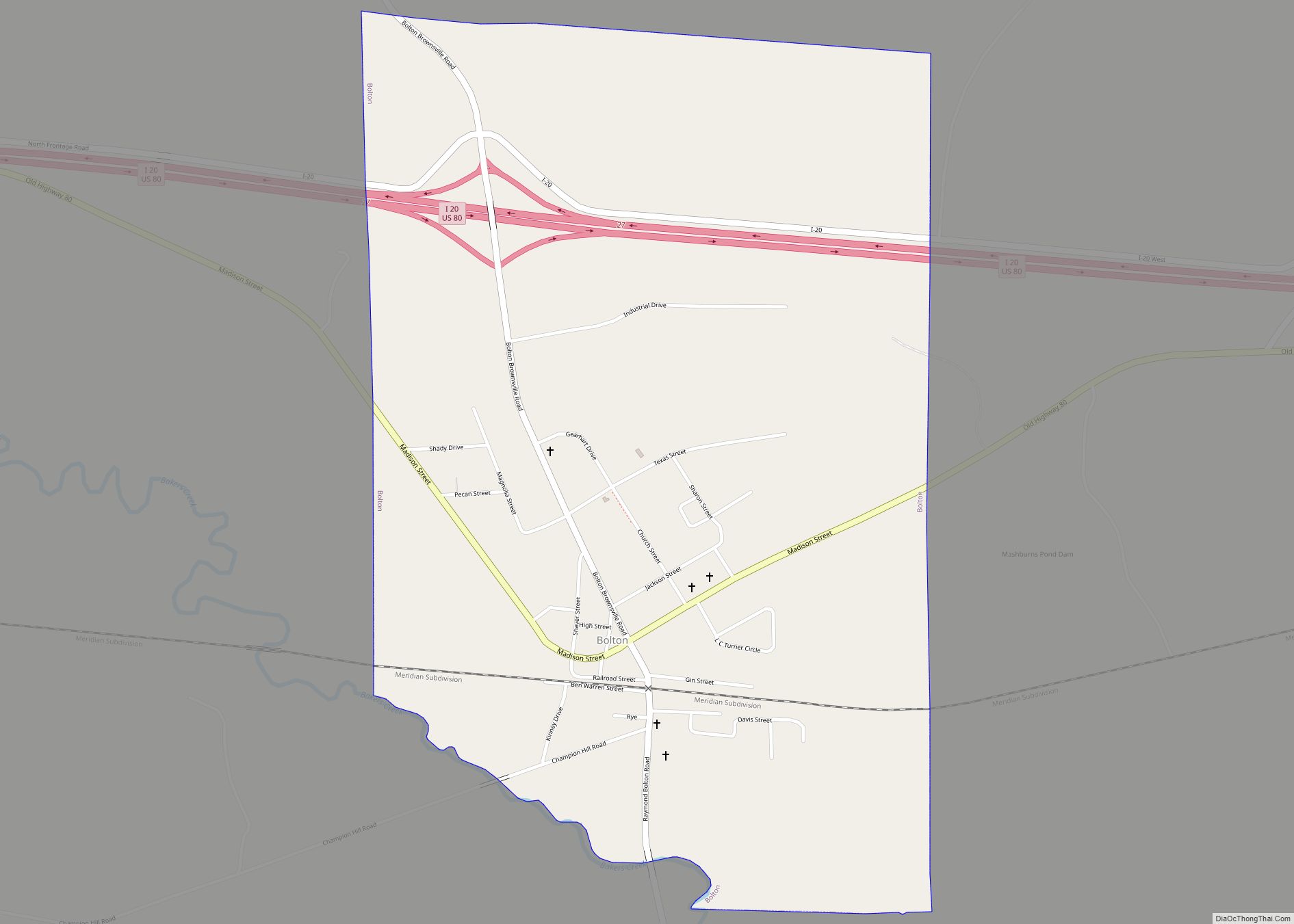
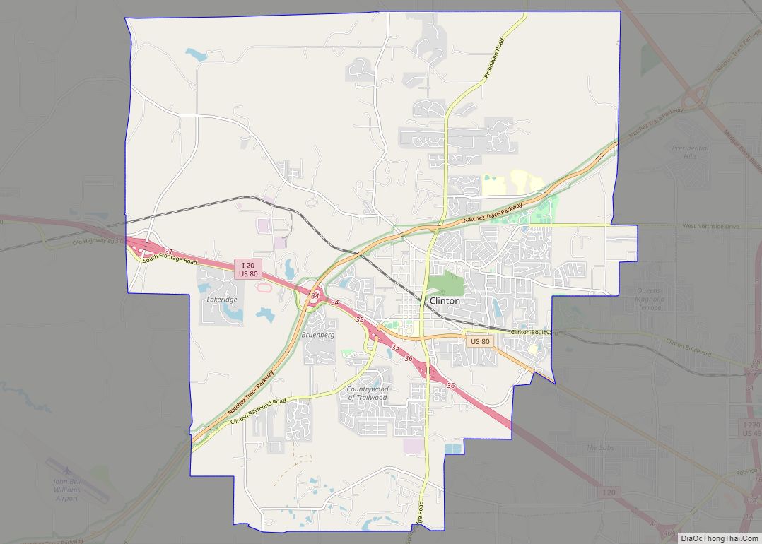
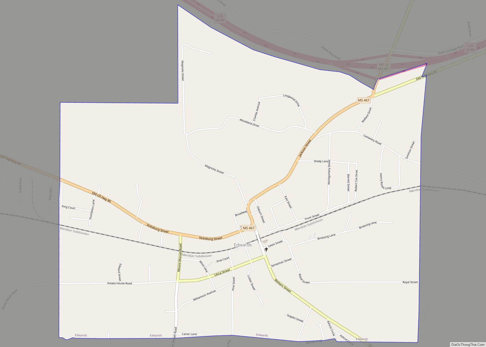
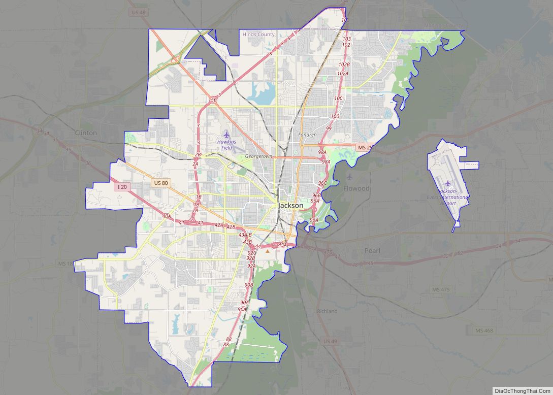
| Largest city: | Jackson |
| Total Area: | 2,270 km² (877 sq mi) |
| Land Area: | 2,300 km² (870 sq mi) |
| Total Population: | 227,742 |
| Population Density: | 100/km² (260/sq mi) |
| Time zone: | UTC−6 (CST) |
| Summer Time Zone (DST): | UTC−5 (CDT) |
| Website: | Official website |
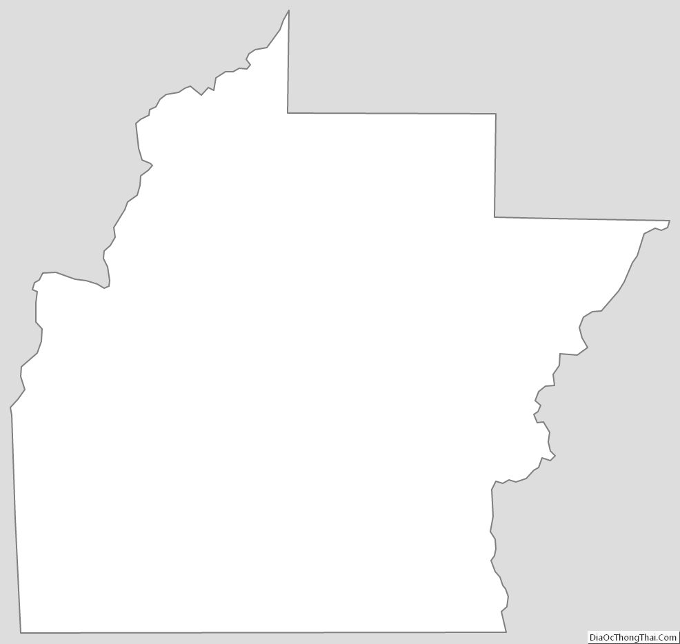
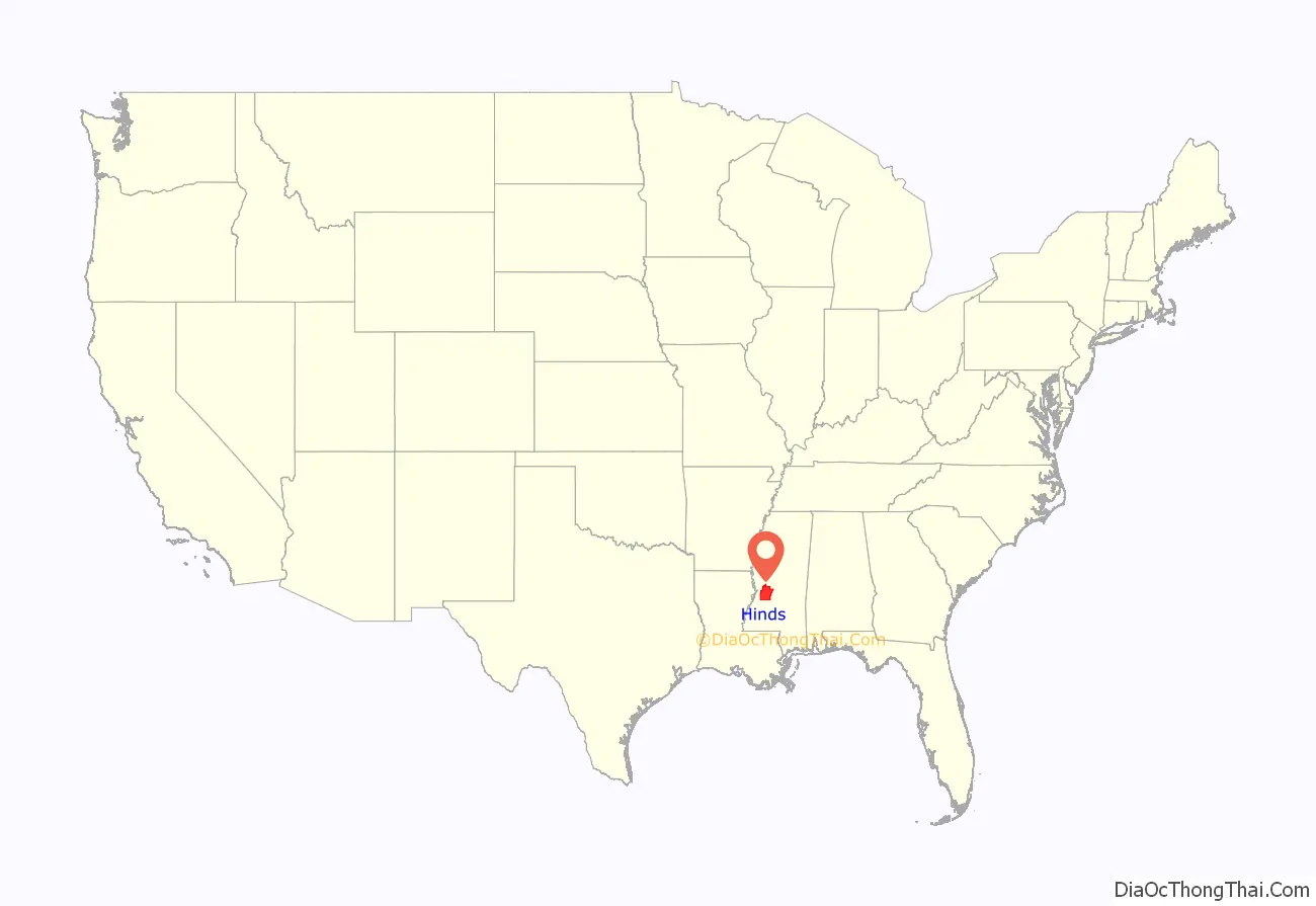
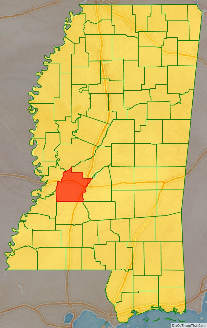
Hinds County location map. Where is Hinds County?
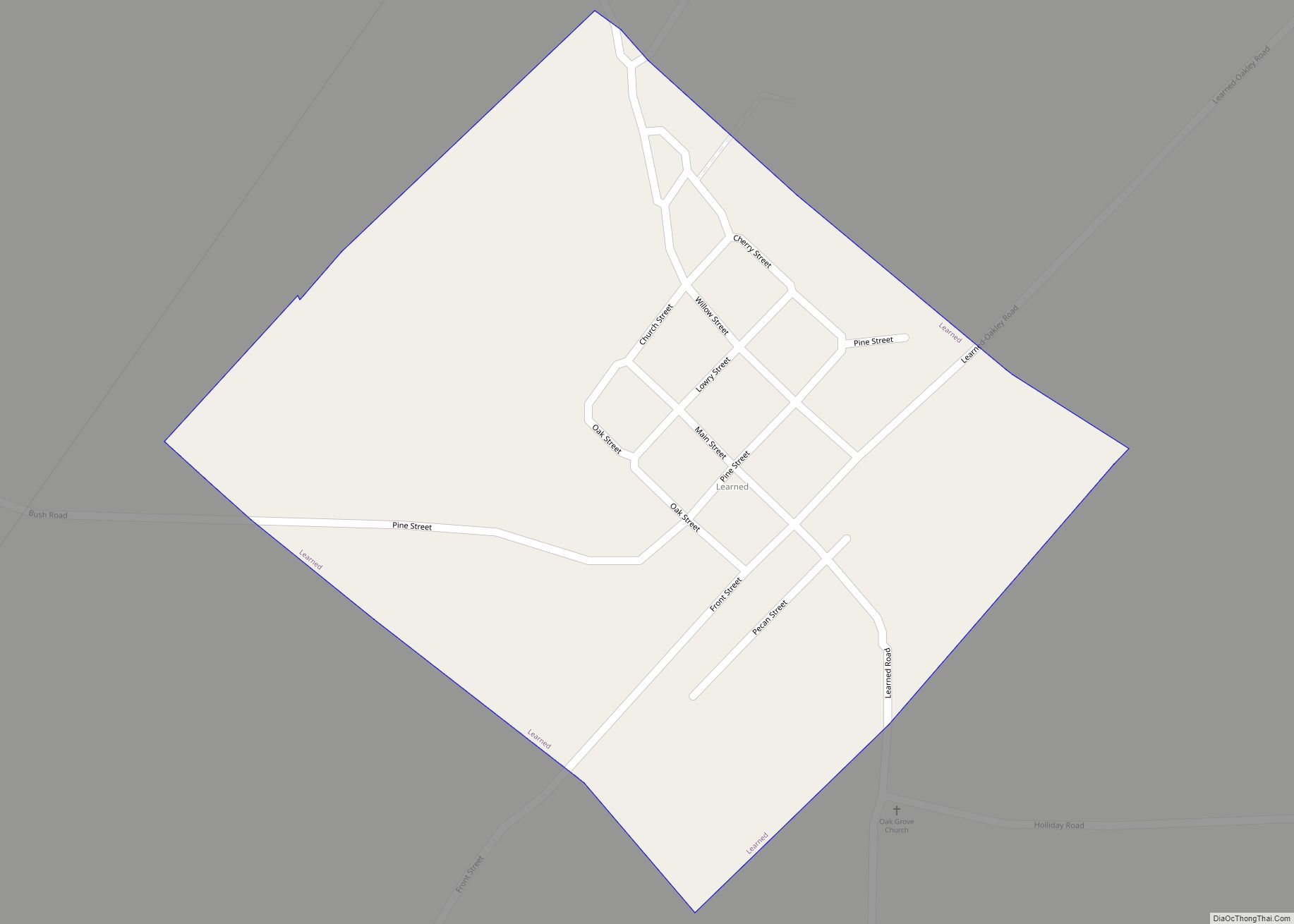
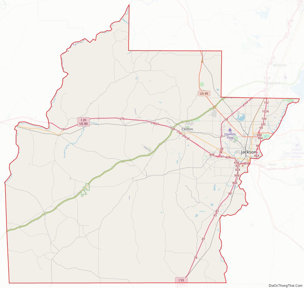
Hinds County Road Map
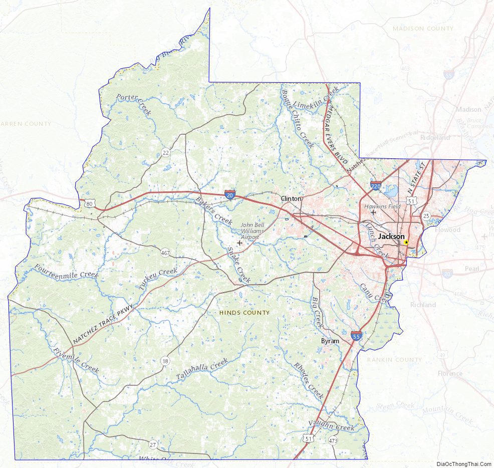
Geography
According to the U.S. Census Bureau, the county has a total area of 877 square miles (2,270 km), of which 870 square miles (2,300 km) is land and 7.6 square miles (20 km) (0.9%) is water. It is the third-largest county in Mississippi by land area and fifth-largest by total area.
Adjacent counties
- Madison County (northeast)
- Rankin County (east)
- Copiah County (south)
- Claiborne County (southwest)
- Warren County (west)
- Yazoo County (northwest)
National protected area
- Natchez Trace Parkway (part)
Hinds County Topographic Map
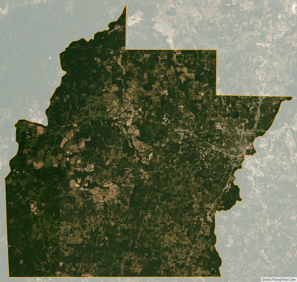
Hinds County Satellite Map
Hinds County Outline Map