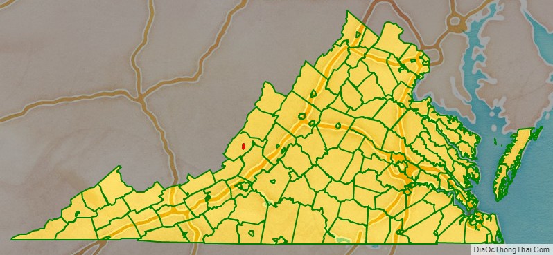
Covington is an independent city in the Commonwealth of Virginia. As of the 2020 census, the population was 5,737, making it the second-least populous city in Virginia. It is surrounded by Alleghany County, of which it is also the county seat. Located at the confluence of Jackson River and Dunlap Creek, Covington is one of three cities (with Roanoke and Salem) in the Roanoke Regional Partnership. The Bureau of Economic Analysis combines the city of Covington with Alleghany county for statistical purposes.
| Name: | Covington City |
|---|---|
| FIPS code: | 51-580 |
| State: | Virginia |
| Total Area: | 5.67 sq mi (14.69 km²) |
| Land Area: | 5.47 sq mi (14.16 km²) |
| Total Population: | 5,737 |
| Population Density: | 1,000/sq mi (390/km²) |
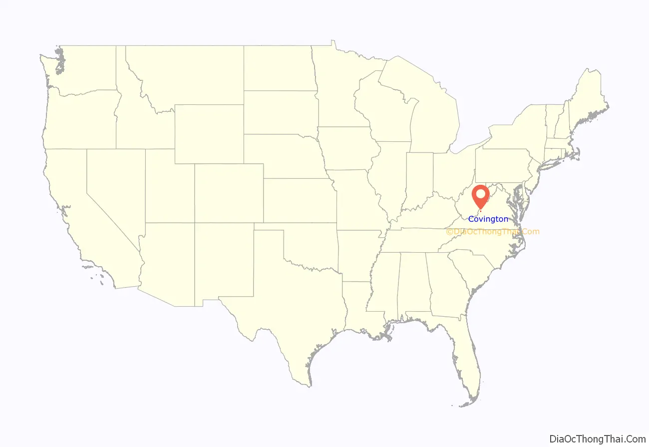
Covington City location map. Where is Covington City?
History
Covington is named in honor of General Leonard Covington, hero of the War of 1812 and friend of James Madison and Thomas Jefferson.
As a result of the industrial boom, the population of Covington grew from 704 in 1890 to 5,632 in 1920. Clifton Forge, originally known as Williamson, became a voting place in 1839. In 1837, the railroad came, making Clifton Forge the major division point on the railroad. Clifton Forge, named after one of the iron furnaces, became an incorporated City in 1884. Cutbacks and the closing of the C&O railroad shops in the late 1980’s caused a drop in population for Clifton Forge. In July 2001, Clifton Forge reverted from a city to a town due to financial hardship.
Falling Spring, a 200 ft cascading waterfall into a gorge was referred to by Thomas Jefferson, for its scenic beauty in his Notes on Virginia, A plaque nearby refers to Indian War figure, Mad Ann Bailey, a frontier woman adept at shooting, riding & swearing.
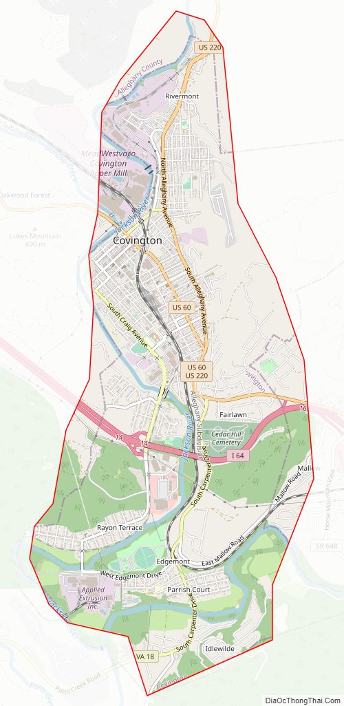
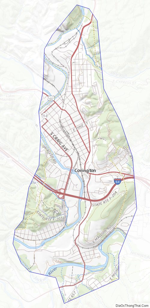
Covington City Road Map
Geography
According to the United States Census Bureau, the city has a total area of 5.7 square miles (14.8 km), of which 5.5 square miles (14.2 km) is land and 0.2 square miles (0.5 km) (3.6%) is water. The city lies along both sides of the Jackson River.
Climate
The climate in this area is characterized by hot, humid summers and generally mild to cool winters. According to the Köppen Climate Classification system, Covington has a humid subtropical climate, abbreviated “Cfa” on climate maps.
Covington City Topographic Map
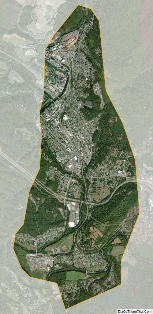
Covington City Satellite Map
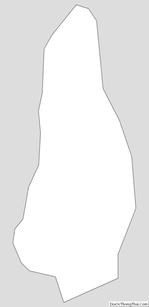
Covington City Outline Map