Albemarle County is a county located in the Piedmont region of the Commonwealth of Virginia. Its county seat is Charlottesville, which is an independent city and enclave entirely surrounded by the county. Albemarle County is part of the Charlottesville Metropolitan Statistical Area. As of the 2020 census, the population was 112,395.
Albemarle County was created in 1744 from the western portion of Goochland County, though portions of Albemarle were later carved out to create other counties. Albemarle County was named in honor of Willem Anne van Keppel, 2nd Earl of Albemarle. Its most famous inhabitant was Thomas Jefferson, who built his estate home, Monticello, in the county.
| Name: | Albemarle County |
|---|---|
| FIPS code: | 51-003 |
| State: | Virginia |
| Founded: | 1744 |
| Named for: | Willem Anne van Keppel, 2nd Earl of Albemarle |
| Seat: | Charlottesville |
| Total Area: | 726 sq mi (1,880 km²) |
| Land Area: | 721 sq mi (1,870 km²) |
| Total Population: | 112,395 |
| Population Density: | 150/sq mi (60/km²) |
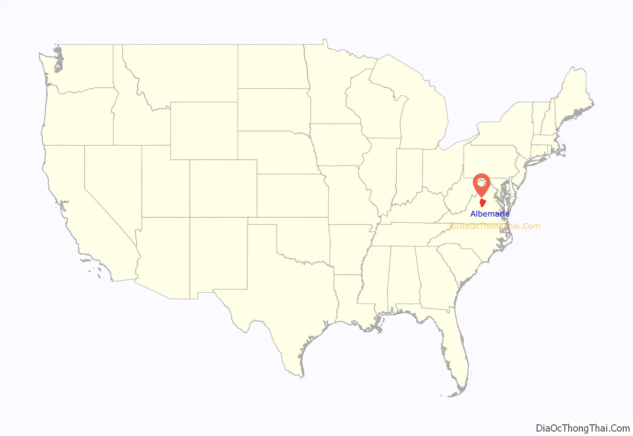
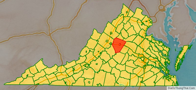
Albemarle County location map. Where is Albemarle County?
History
At the time of European encounter, the inhabitants of the area that became Albemarle County were a Siouan-speaking tribe called the Saponi. In 1744, the Virginia General Assembly created Albemarle County from the western portion of Goochland County. The county was named in honor of Willem Anne van Keppel, 2nd Earl of Albemarle and titular Governor of Virginia at the time. The large county was partitioned in 1761, forming Buckingham and Amherst counties, at which time the county seat was moved from the formerly central Scottsville to a piece of newly central land, christened Charlottesville. In 1777, Albemarle County was divided and Fluvanna County established, finalizing the boundaries of modern Albemarle County.
Albemarle County is well known for its association with President and Founding Father Thomas Jefferson, who was born in the county at Shadwell, though it was then part of Goochland County. However, his home of Monticello is located in the county. When the American Revolutionary War started in 1775, Jefferson was made colonel of the Albemarle Militia.
During the Civil War, the Battle of Rio Hill was a skirmish in which Union cavalry raided a Confederate camp in Albemarle County, Virginia.
Until the Civil War, the majority of Albemarle County’s population consisted of enslaved African Americans.
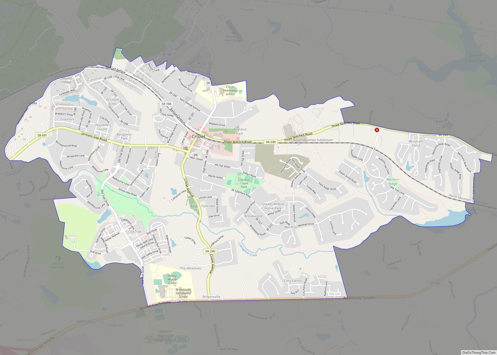
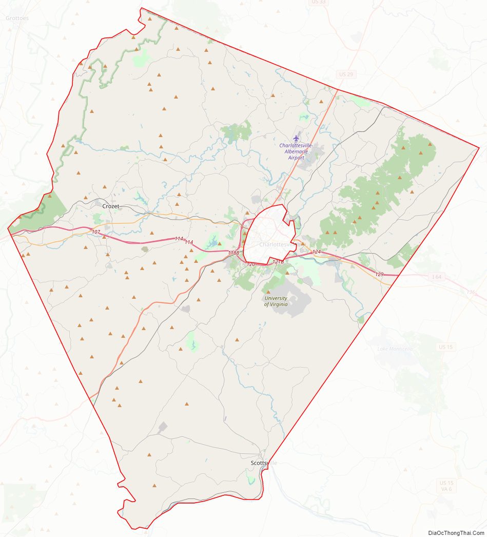
Albemarle County Road Map
Geography
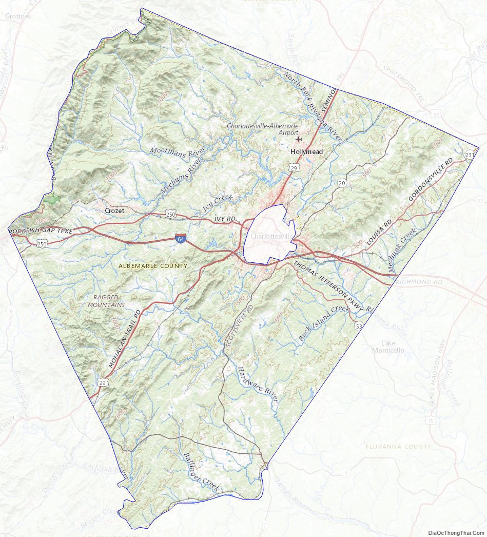
According to the U.S. Census Bureau, the county has a total area of 726 square miles (1,880 km), of which 721 square miles (1,870 km) is land and 5 square miles (13 km) (0.7%) is water.
Waterways
The Rivanna River’s south fork forms in Albemarle County and was historically important for transportation. The south fork flows in-between Darden Towe Park and Pen Park. Boat ramp access is available at Darden Towe Park. The James River acts as a natural border between Albemarle and Buckingham Counties.
Major highways
- I-64
- US 29
- US 250
- SR 6
- SR 20
- SR 22
- SR 53
- SR 240
Protected areas
Albemarle’s western border with Augusta and Rockingham Counties is located within the Shenandoah National Park.
Adjacent counties
Albemarle County borders 8 other counties, more than any other county in Virginia.
- Charlottesville, Virginia (surrounded by Albemarle County)
- Greene County, Virginia (north)
- Orange County, Virginia (northeast)
- Louisa County, Virginia (east)
- Fluvanna County, Virginia (southeast)
- Buckingham County, Virginia (south)
- Nelson County, Virginia (southwest)
- Augusta County, Virginia (west)
- Rockingham County, Virginia (northwest)
Parks and recreation
- Beaver Creek Lake
- Brook Hill Park
- Chris Greene Lake Park
- Darden Towe Park
- Dorrier Park
- Charlotte Y. Humphris Park
- Ivy Creek Natural Area
- Mint Springs Valley Park
- Patricia Ann Byrom Forest Preserve Park
- Preddy Creek Park
- Simpson Park
- Totier Creek Park
- Walnut Creek Park
- Western Park
Albemarle County Topographic Map
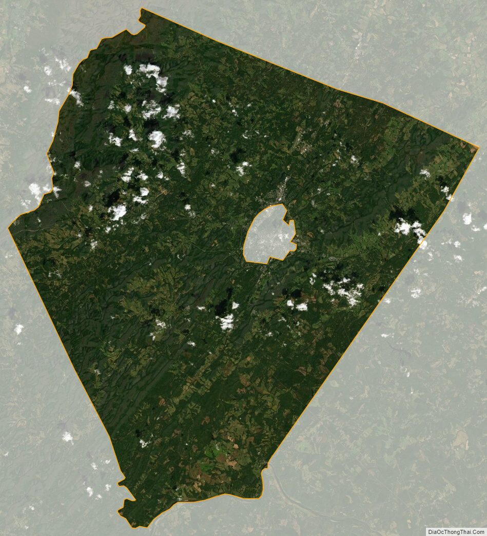
Albemarle County Satellite Map
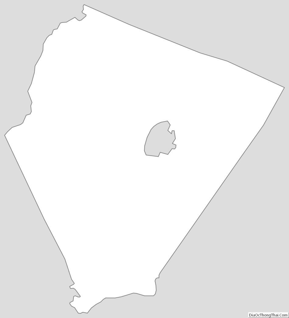
Albemarle County Outline Map