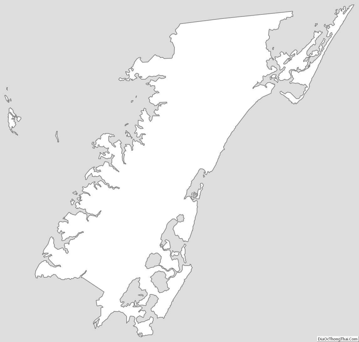
Accomack County is a United States county located in the eastern edge of the Commonwealth of Virginia. Together, Accomack and Northampton counties make up the Eastern Shore of Virginia, which in turn is part of the Delmarva Peninsula, bordered by the Chesapeake Bay and the Atlantic Ocean. The Accomack county seat is the town of Accomac.
The Eastern Shore of Virginia was known as “Accomac Shire,” until it was renamed Northampton County in 1642. The present Accomack County was created from Northampton County in 1663. The county and the original shire were named for the Accawmack Indians, who resided in the area when the English first explored it in 1603.
As of the 2020 census, the total population was 33,413 people. The population of Accomack has remained relatively stable over the last century, though Accomack is one of the poorest parts of Virginia.
| Name: | Accomack County |
|---|---|
| FIPS code: | 51-001 |
| State: | Virginia |
| Founded: | 1671 |
| Seat: | Accomac |
| Largest town: | Chincoteague |
| Total Area: | 1,310 sq mi (3,400 km²) |
| Land Area: | 450 sq mi (1,200 km²) |
| Total Population: | 33,413 |
| Population Density: | 26/sq mi (9.8/km²) |
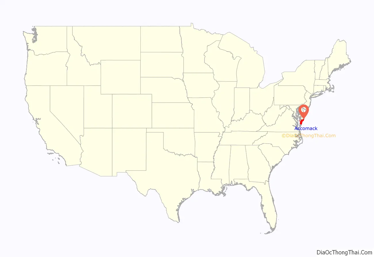
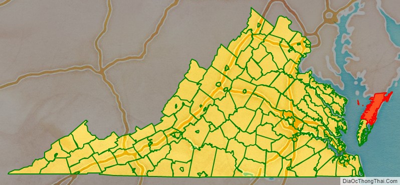
Accomack County location map. Where is Accomack County?
History
The county was named for its original residents, the Accomac people, an Eastern Algonquian-speaking Native American tribe.
Members of an English voyage of exploration landed in the area in 1603, four years before the founding of the Jamestown Colony. Captain John Smith visited the region in 1608. The Accomac people at the time numbered around 6,000 and was led by Debedeavon, a paramount chief, whom the English colonists called the “Laughing King.” He became a staunch ally of the colonists, granting them several large areas for their own use.
Accomac Shire was established in 1634 as one of the eight original shires of Virginia. The name comes from the native word Accawmacke, which meant “on the other side”. In 1642 the name was changed to Northampton by the colonists. Northampton was divided into two counties in 1663. The northern adopted the original name, while the south remained Northampton.
In 1670, the Virginia Colony’s Royal Governor William Berkeley abolished Accomac County, but the Virginia General Assembly re-created it in 1671.
In 1940, the General Assembly officially added a “k” to the end of the county’s name to arrive at its current spelling. The name of “Accomack County” first appeared in the Decisions of the United States Board on Geographical Names in 1943.
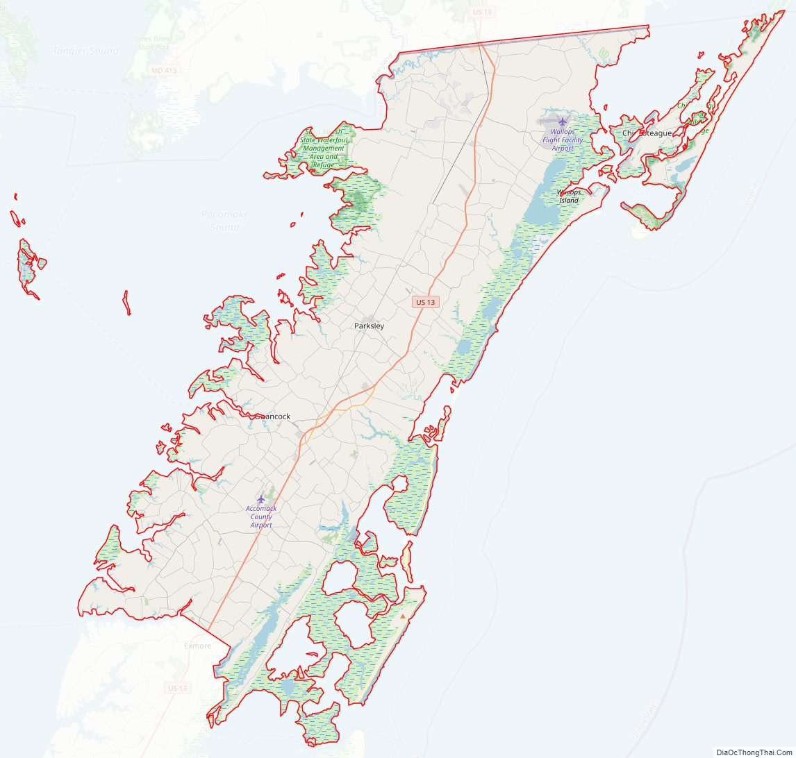
Accomack County Road Map
Geography
According to the U.S. Census Bureau, the county has a total area of 1,310 square miles (3,400 km), of which 450 square miles (1,200 km) is land and 861 square miles (2,230 km) (65.7%) is water. It is the largest county in Virginia by total area.
The state of Delaware is roughly 36 miles (58 km) away from the Virginia and Maryland state-line in Greenbackville.
Accomack County Topographic Map

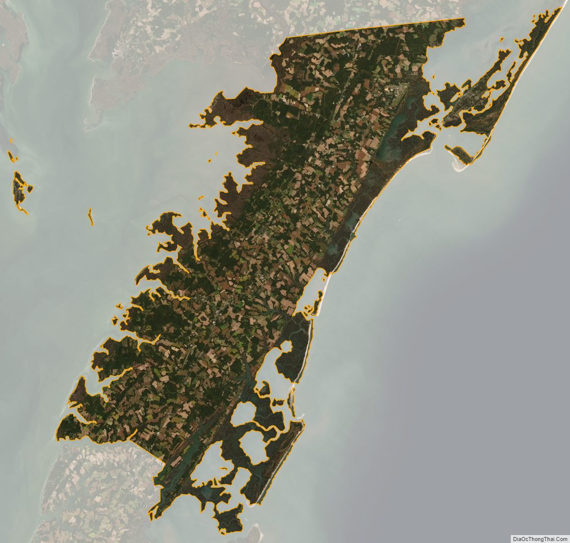
Accomack County Satellite Map
Accomack County Outline Map