Amelia County is a county located just southwest of Richmond in the Commonwealth of Virginia, United States. The county is located in Central Virginia and is included in the Greater Richmond Region. Its county seat is Amelia Court House.
Amelia County was created in 1735 from parts of Prince George and Brunswick counties, and was named in honor of Princess Amelia of Great Britain. Parts of the county were later carved out to create Prince Edward and Nottoway counties.
As of the 2020 census, the county population was 13,265.
| Name: | Amelia County |
|---|---|
| FIPS code: | 51-007 |
| State: | Virginia |
| Founded: | 1735 |
| Named for: | Princess Amelia |
| Seat: | Amelia Court House |
| Total Area: | 359 sq mi (930 km²) |
| Land Area: | 355 sq mi (920 km²) |
| Total Population: | 13,265 |
| Population Density: | 37/sq mi (14/km²) |
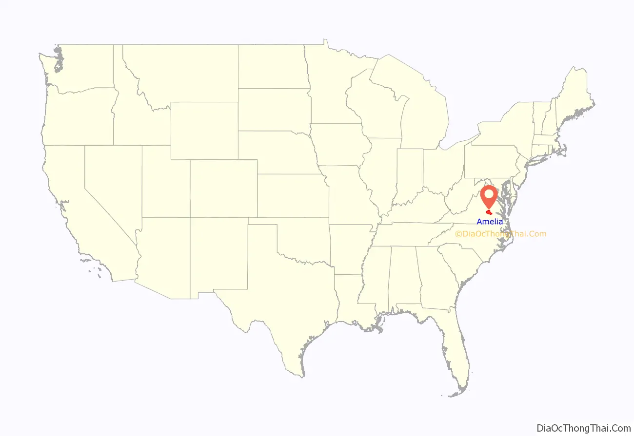
Amelia County location map. Where is Amelia County?
History
Amelia County was created by legislative act in 1734 and 1735 from parts of Prince George and Brunswick counties. The county is named for Princess Amelia of Great Britain, daughter of King George II. As was customary, Amelia County was reduced by the division of territory to form newer counties as the population increased in the region; in 1754, Prince Edward County was formed from parts of Amelia County, and in 1789, Nottoway County was formed. The area was developed for plantation agriculture dependent on slave labor.
During the Civil War, Confederate general Robert E. Lee and his army spent April 4 and 5, 1865, at Amelia Court House before his surrender on April 9 to General Ulysses S. Grant at Appomattox. The last major battle of his army was fought at Sayler’s Creek, on the border of Amelia and Prince Edward counties, on April 6.
Amelia is known for its minerals, including the nation’s best supply of amazonite, a green feldspar found at the Morefield mine. In the 19th century, spas were developed around its mineral springs, which were destinations for travelers.
In 1986 the Amelia County Fair sponsored a competition for the world’s largest potato pancake (with apple sauce). It was constructed to raise money that year for the German American National Scholarship Fund. The pancake weighed more than two and one-quarter tons and used four truckloads of potatoes.
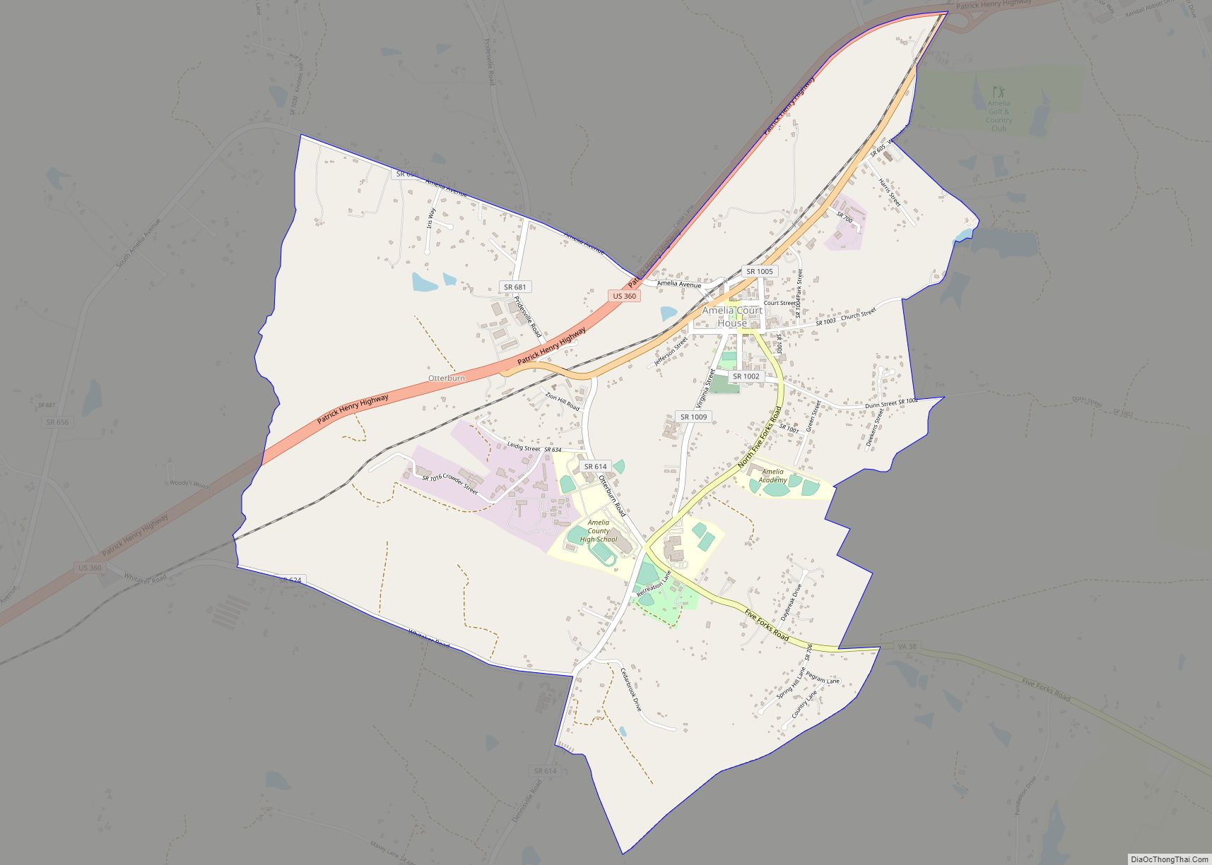
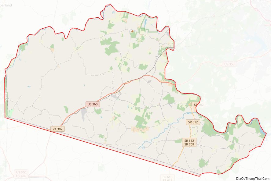
Amelia County Road Map
Geography
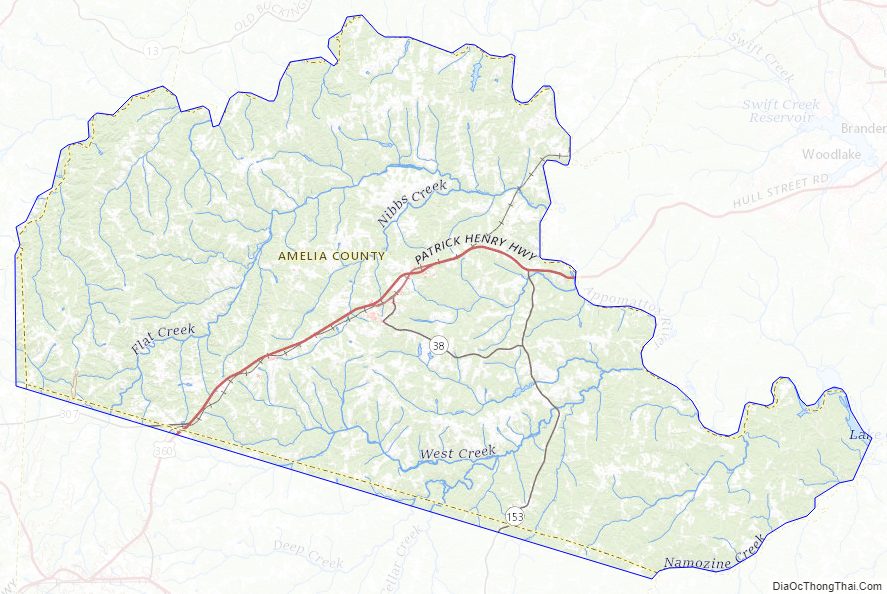
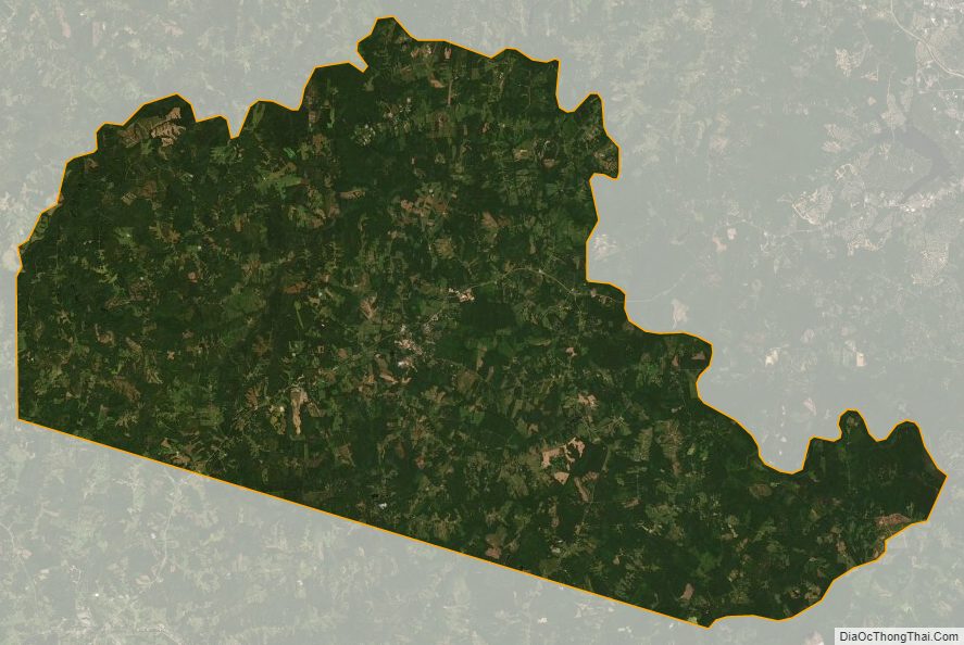
According to the U.S. Census Bureau, the county has a total area of 359 square miles (930 km), of which 355 square miles (920 km) is land and 3.3 square miles (8.5 km) (0.9%) is water.
Amelia County lies in the Piedmont region of Virginia, known for rolling hills and small ridges that lie between the Blue Ridge Mountains and Coastal Plain of Virginia. The county is bordered by the Appomattox River to the north and west, and Namozine Creek to the east.
Amelia County is drained by tributaries of the Appomattox. The lowest elevation in the county is 158 feet (48 m), on Lake Chesdin on the Appomattox at the eastern extremity of the county. The highest elevation is 525 feet (160 m), on SR 616 (S. Genito Road) at the community of Gills in the southwest corner of the county.
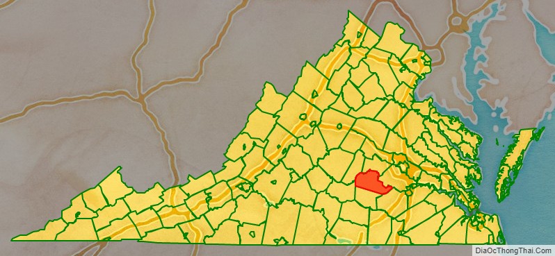
Adjacent counties
- Powhatan County – north
- Chesterfield County – east
- Dinwiddie County – southeast
- Nottoway County – south
- Prince Edward County – southwest
- Cumberland County – west
Amelia County Topographic Map
Amelia County Satellite Map
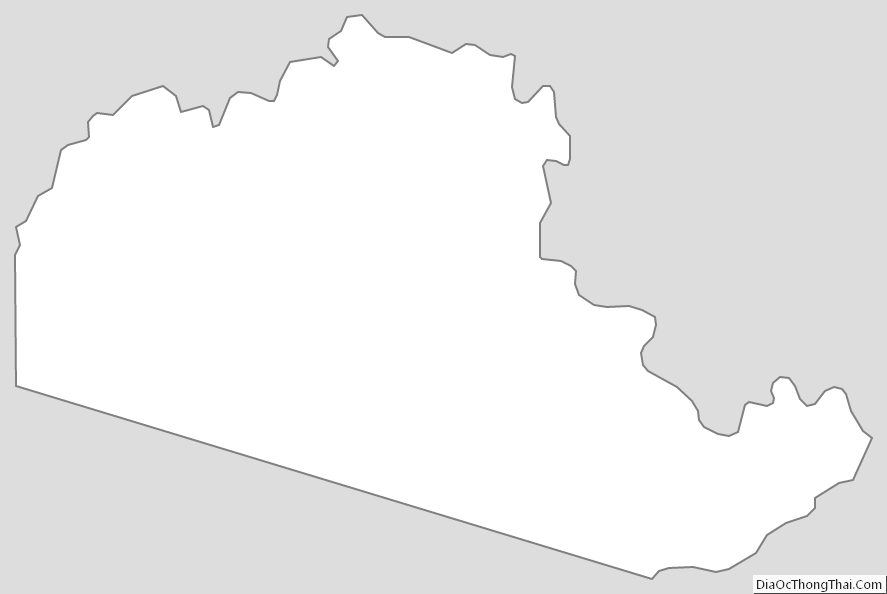
Amelia County Outline Map