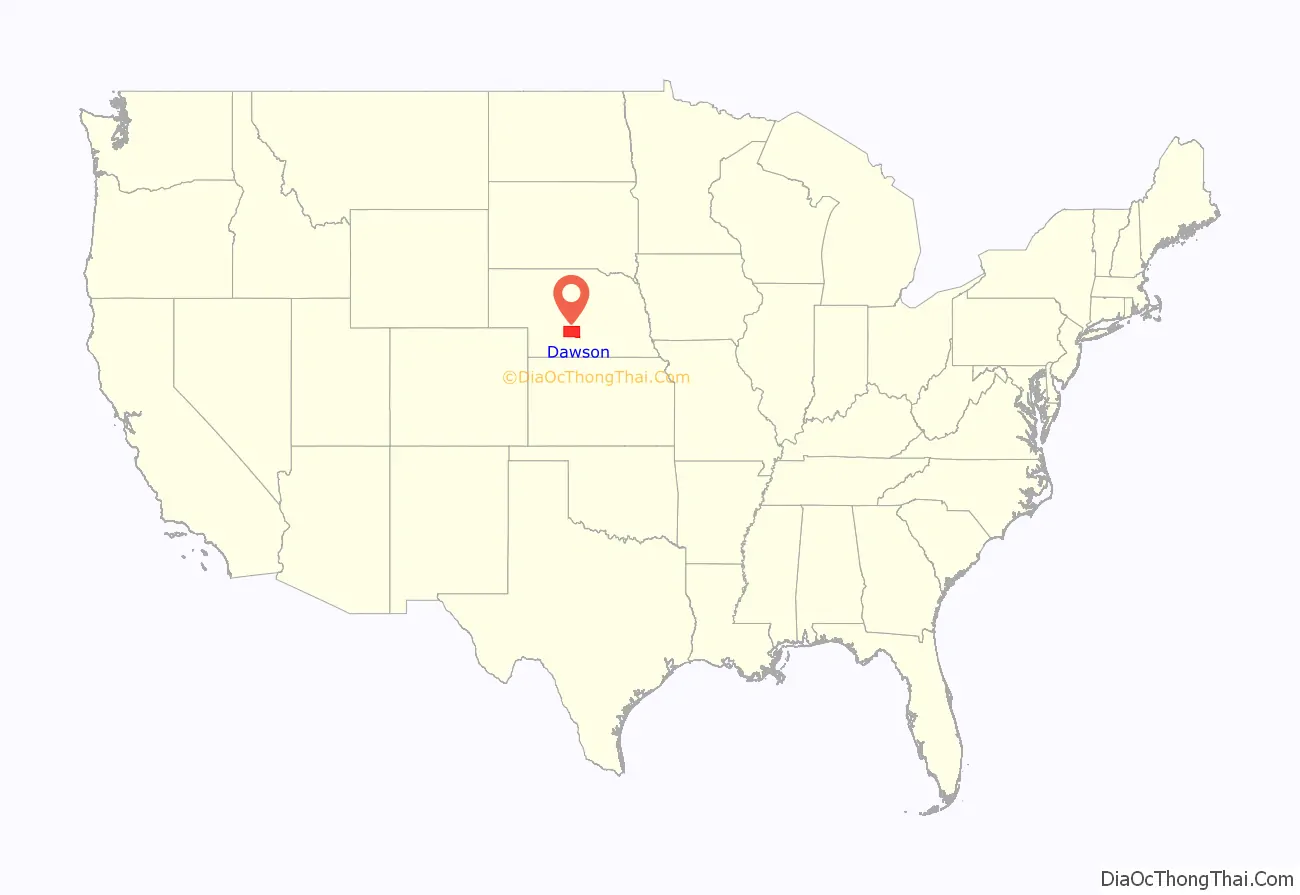
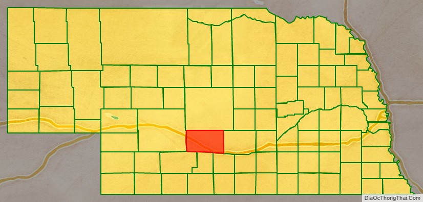
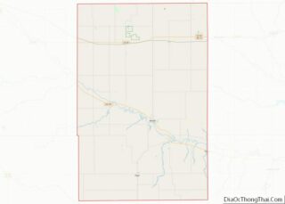
Dawson County is a county in the U.S. state of Nebraska. As of the 2010 United States Census, the population was 24,326. Its county seat is Lexington.
Dawson County is part of the Lexington, NE Micropolitan Statistical Area.
In the Nebraska license plate system, Dawson County is represented by the prefix 18 (it had the 18th-largest number of vehicles registered in the county when the license plate system was established in 1922).
| Name: | Dawson County |
|---|---|
| FIPS code: | 31-047 |
| State: | Nebraska |
| Founded: | 1860 |
| Named for: | Jacob Dawson |
| Seat: | Lexington |
| Largest city: | Lexington |
| Total Area: | 1,019 sq mi (2,640 km²) |
| Land Area: | 1,013 sq mi (2,620 km²) |
| Total Population: | 23,898 |
| Population Density: | 23.4/sq mi (9.0/km²) |
| Time zone: | UTC−6 (Central) |
| Summer Time Zone (DST): | UTC−5 (CDT) |
| Website: | www.dawsoncountyne.org |
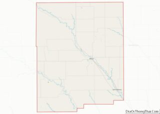
Dawson County location map. Where is Dawson County?
History
Dawson County was established by the territorial legislature in 1860; it officially became a county in 1871 by proclamation of acting Governor William James. The county website states that the county was named for Jacob Dawson, the first postmaster in the settlement of Lancaster County, Nebraska. Other sources offer another possibility: that it was named after Pennsylvania Congressman John Littleton Dawson;
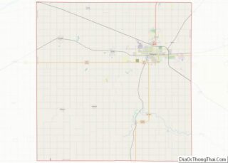
Dawson County Road Map
Geography
Dawson County lies near the center of Nebraska, in the portion of the state that observes Central Time. According to the US Census Bureau, the county has an area of 1,019 square miles (2,640 km), of which 1,013 square miles (2,620 km) is land and 6.3 square miles (16 km) (0.6%) is water.
Major highways
- Interstate 80
- U.S. Highway 30
- U.S. Highway 283
- Nebraska Highway 21
- Nebraska Highway 23
- Nebraska Highway 40
- Nebraska Highway 47
Protected areas
- Bitterns Call State Wildlife Management Area
- Dogwood State Wildlife Management Area
- East Willow Island State Wildlife Management Area
- Gallagher Canyon State Recreation Area
Adjacent counties
- Buffalo County – east
- Phelps County – southeast
- Gosper County – south
- Frontier County – southwest
- Lincoln County – west
- Custer County – north
