Lexington is a city in Dawson County, Nebraska, United States. The population was 10,348 at the 2020 census. It is the county seat of Dawson County. Lexington is located in southern Nebraska, on the Platte River, southeast of North Platte. It sits along the route of U.S. Route 30 and the Union Pacific Railroad. In the 1860s, Lexington was the location of a stop along the Pony Express.
| Name: | Lexington city |
|---|---|
| LSAD Code: | 25 |
| LSAD Description: | city (suffix) |
| State: | Nebraska |
| County: | Dawson County |
| Elevation: | 2,392 ft (729 m) |
| Total Area: | 5.10 sq mi (13.20 km²) |
| Land Area: | 5.07 sq mi (13.12 km²) |
| Water Area: | 0.03 sq mi (0.08 km²) |
| Total Population: | 10,348 |
| Population Density: | 2,042.23/sq mi (788.53/km²) |
| ZIP code: | 68850 |
| Area code: | 308 |
| FIPS code: | 3126910 |
| GNISfeature ID: | 0830692 |
| Website: | cityoflex.com |
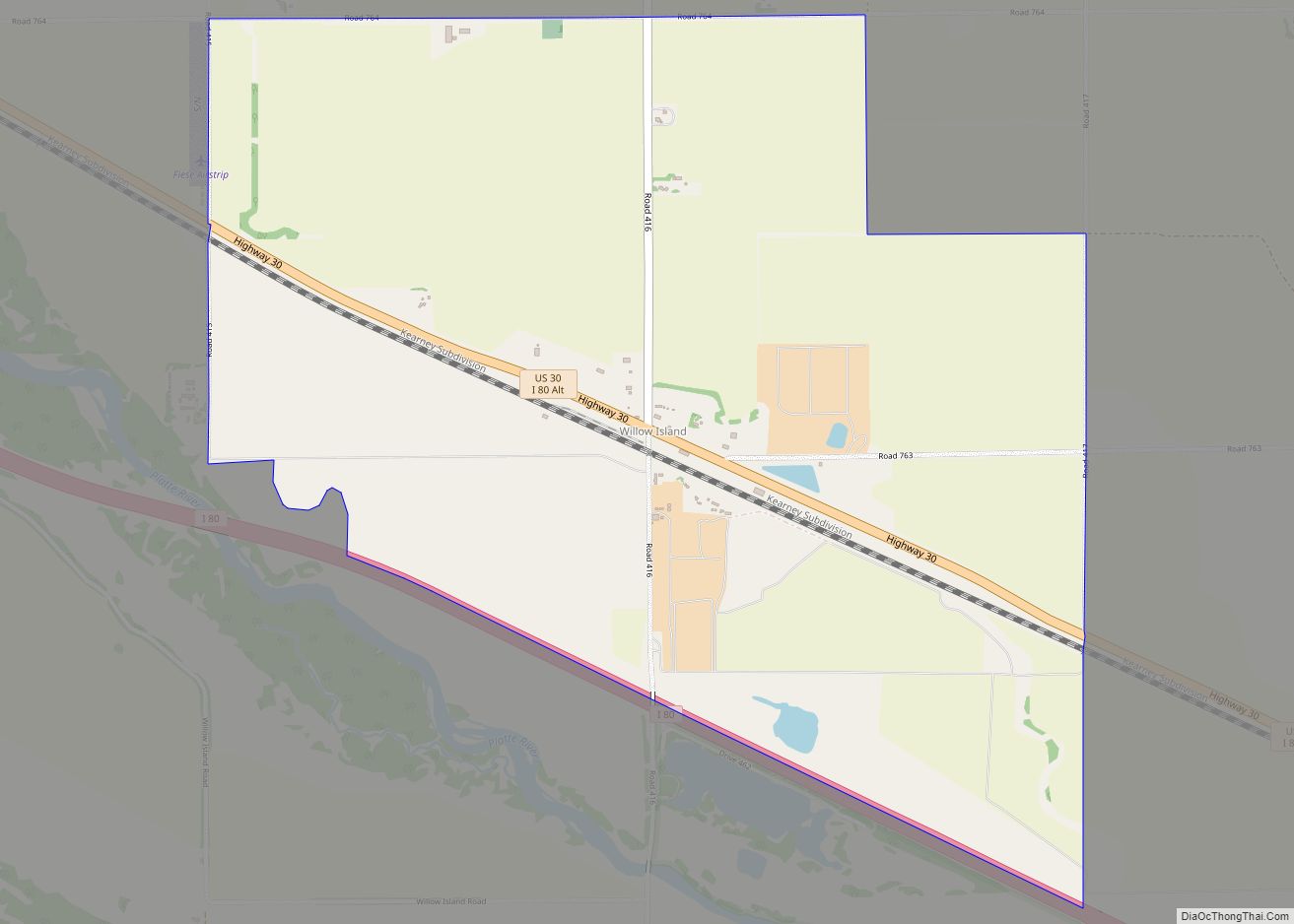
Online Interactive Map
Click on ![]() to view map in "full screen" mode.
to view map in "full screen" mode.
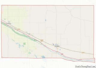
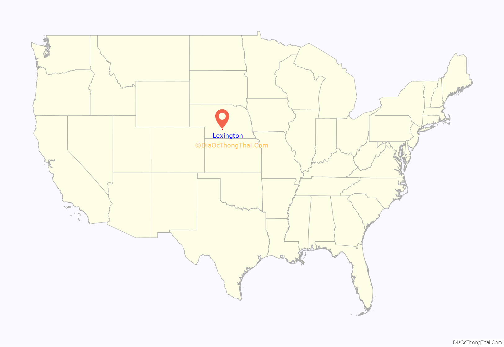
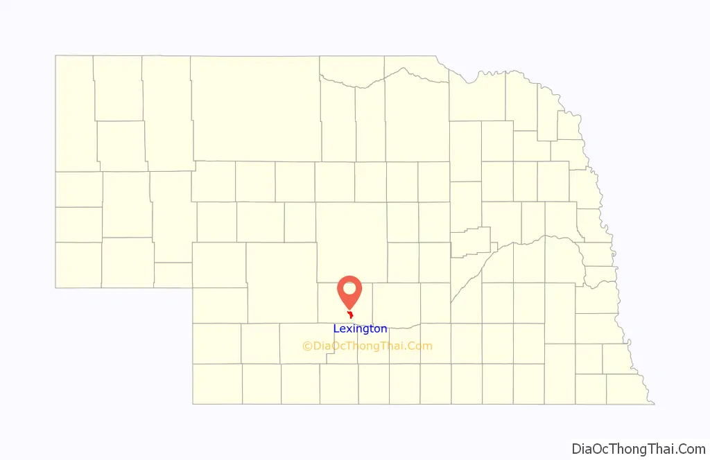
Lexington location map. Where is Lexington city?
History
Lexington began as a frontier trading post in 1860. The post was later destroyed. Fort Plum Creek was established near its ruins in 1864. Lexington was founded in 1871. It was originally called Plum Creek.
Plum Creek Railroad Attack
About 3.5 miles west of Lexington on U.S. Route 30, a marker identifies the place (40°47′27″N 99°48′29″W / 40.790695120°N 99.808119581°W / 40.790695120; -99.808119581) where a band of Cheyenne derailed a Union Pacific train on August 7, 1867, during construction of the first transcontinental railroad. Boxcars were looted and burned, and three employees were killed: the engineer, the fireman, and a hand-car operator.
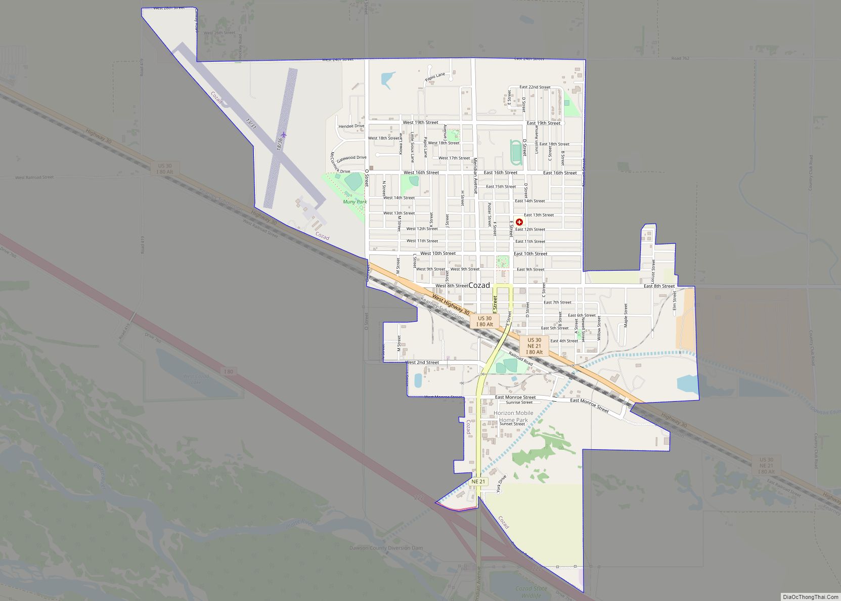
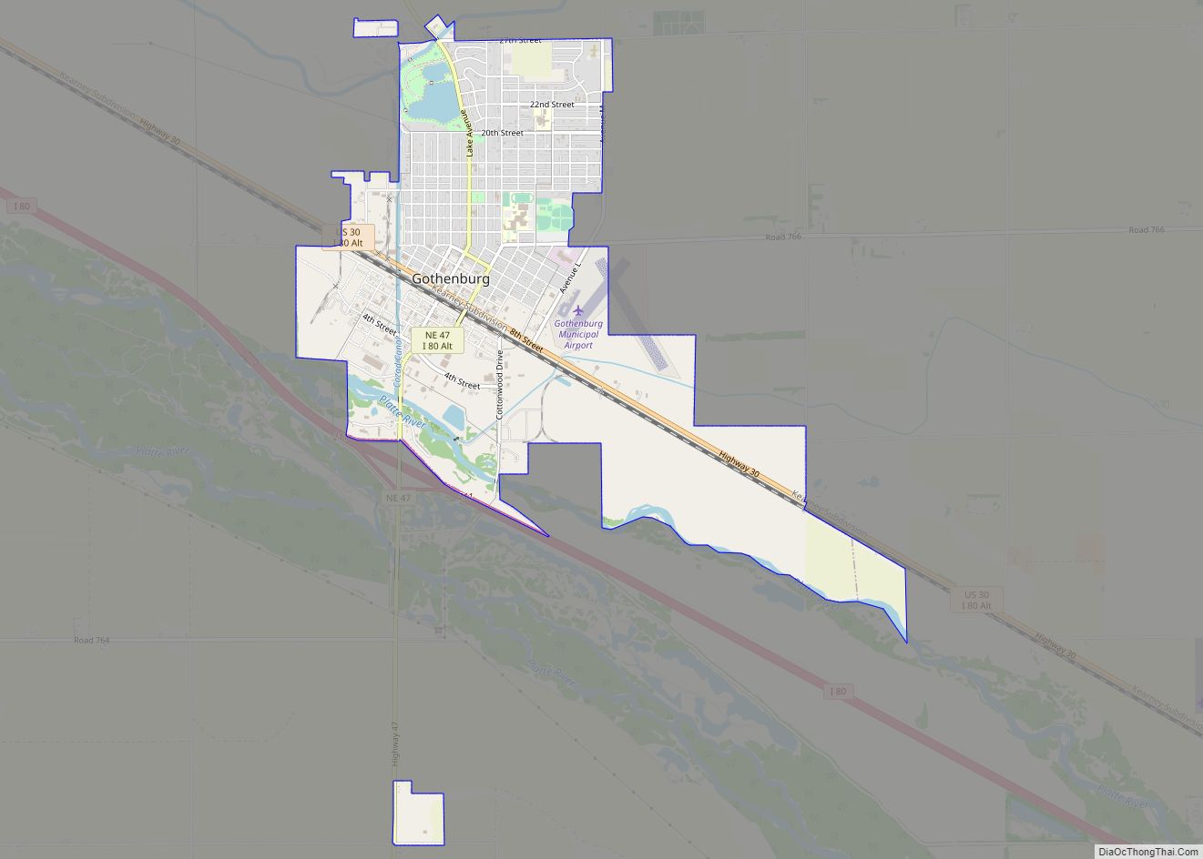
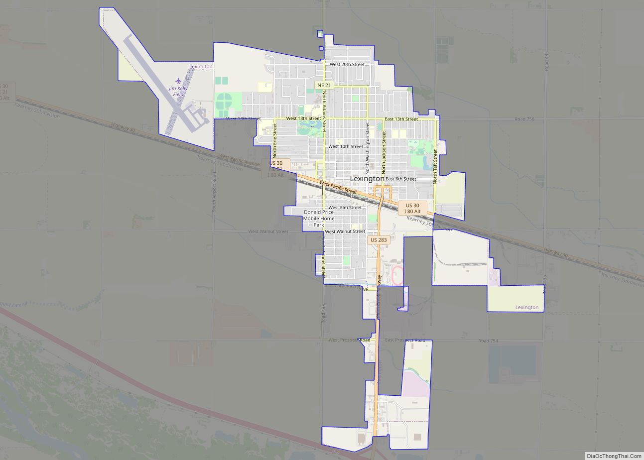
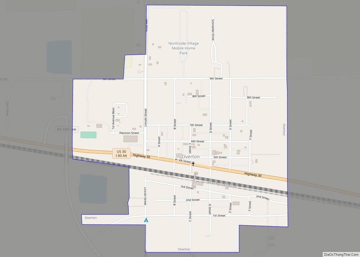
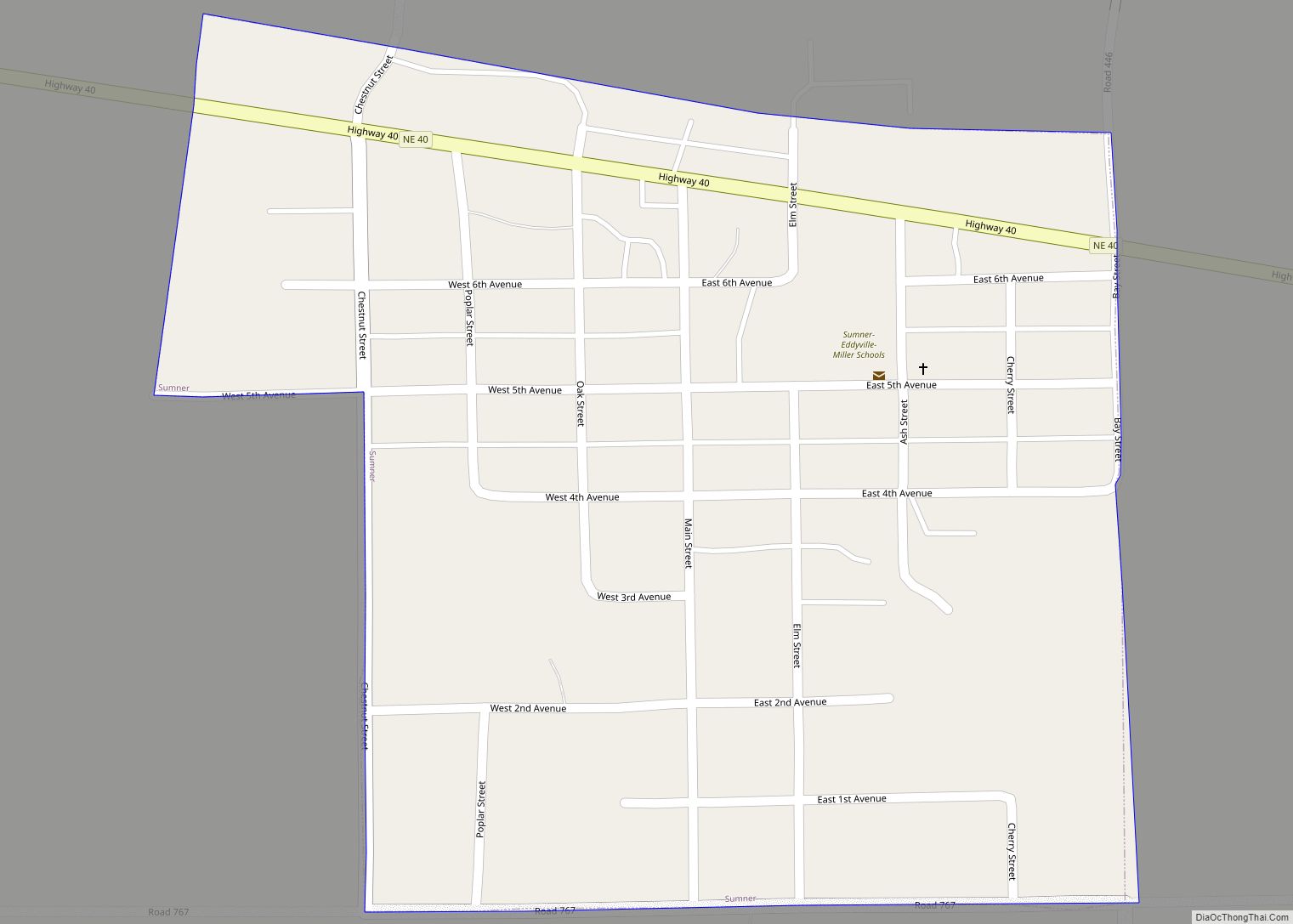
Lexington Road Map
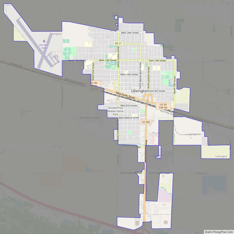
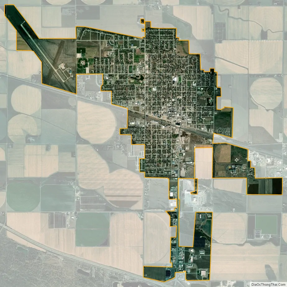
Lexington city Satellite Map
Geography
According to the United States Census Bureau, the city has a total area of 4.51 square miles (11.68 km), of which 4.50 square miles (11.65 km) is land, and 0.01 square miles (0.03 km) is water.
See also
Map of Nebraska State and its subdivision:- Adams
- Antelope
- Arthur
- Banner
- Blaine
- Boone
- Box Butte
- Boyd
- Brown
- Buffalo
- Burt
- Butler
- Cass
- Cedar
- Chase
- Cherry
- Cheyenne
- Clay
- Colfax
- Cuming
- Custer
- Dakota
- Dawes
- Dawson
- Deuel
- Dixon
- Dodge
- Douglas
- Dundy
- Fillmore
- Franklin
- Frontier
- Furnas
- Gage
- Garden
- Garfield
- Gosper
- Grant
- Greeley
- Hall
- Hamilton
- Harlan
- Hayes
- Hitchcock
- Holt
- Hooker
- Howard
- Jefferson
- Johnson
- Kearney
- Keith
- Keya Paha
- Kimball
- Knox
- Lancaster
- Lincoln
- Logan
- Loup
- Madison
- McPherson
- Merrick
- Morrill
- Nance
- Nemaha
- Nuckolls
- Otoe
- Pawnee
- Perkins
- Phelps
- Pierce
- Platte
- Polk
- Red Willow
- Richardson
- Rock
- Saline
- Sarpy
- Saunders
- Scotts Bluff
- Seward
- Sheridan
- Sherman
- Sioux
- Stanton
- Thayer
- Thomas
- Thurston
- Valley
- Washington
- Wayne
- Webster
- Wheeler
- York
- Alabama
- Alaska
- Arizona
- Arkansas
- California
- Colorado
- Connecticut
- Delaware
- District of Columbia
- Florida
- Georgia
- Hawaii
- Idaho
- Illinois
- Indiana
- Iowa
- Kansas
- Kentucky
- Louisiana
- Maine
- Maryland
- Massachusetts
- Michigan
- Minnesota
- Mississippi
- Missouri
- Montana
- Nebraska
- Nevada
- New Hampshire
- New Jersey
- New Mexico
- New York
- North Carolina
- North Dakota
- Ohio
- Oklahoma
- Oregon
- Pennsylvania
- Rhode Island
- South Carolina
- South Dakota
- Tennessee
- Texas
- Utah
- Vermont
- Virginia
- Washington
- West Virginia
- Wisconsin
- Wyoming