Douglas County is a county located in the U.S. state of Washington. As of the 2020 census, its population was 42,938. The county seat is Waterville, while its largest settlement is East Wenatchee. The county was created out of Lincoln County on November 28, 1883 and is named for American statesman Stephen A. Douglas.
Douglas County is part of the Wenatchee, WA Metropolitan Statistical Area.
| Name: | Douglas County |
|---|---|
| FIPS code: | 53-017 |
| State: | Washington |
| Founded: | November 28, 1883 |
| Named for: | Stephen A. Douglas |
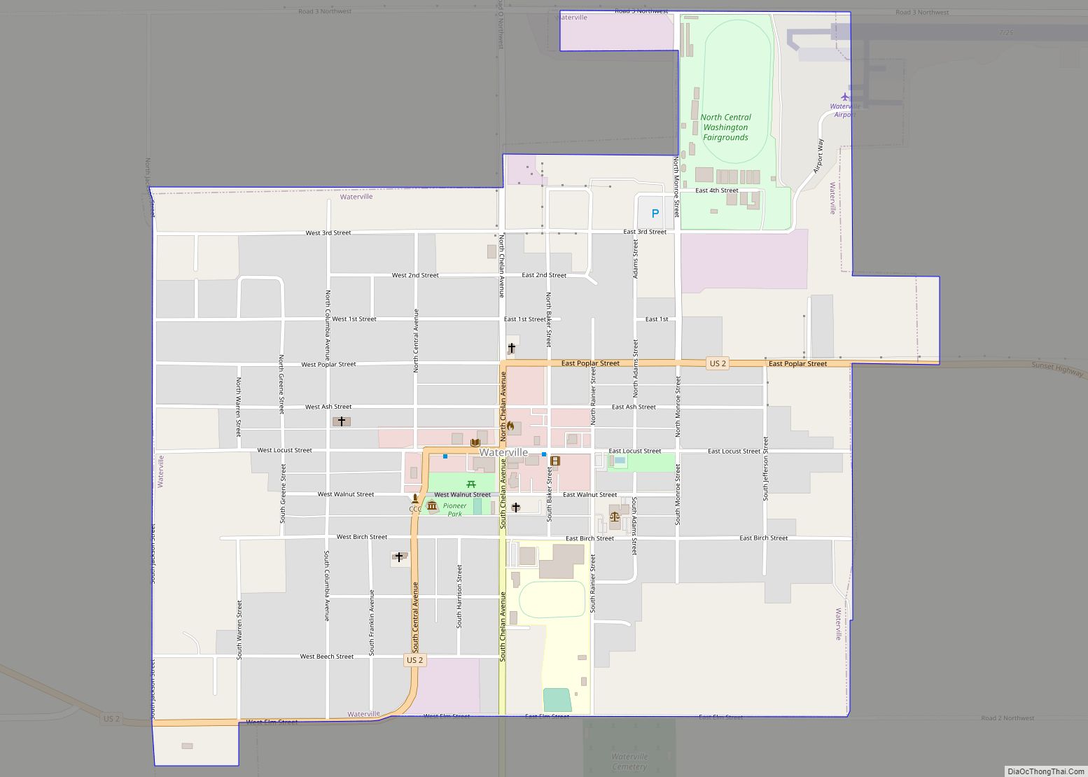
| Seat: | Waterville |
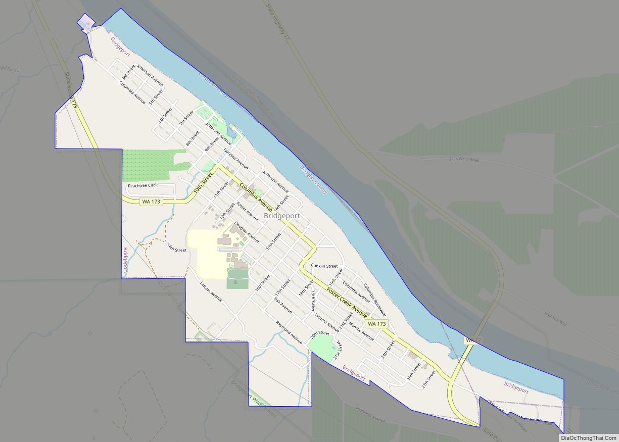
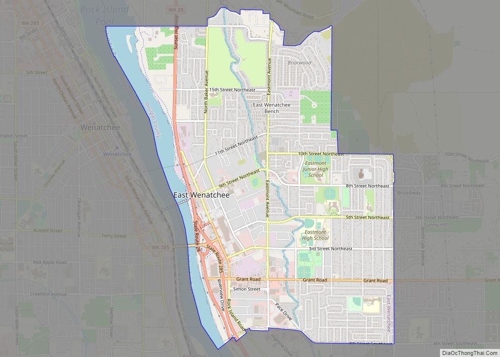
| Largest city: | East Wenatchee |
| Total Area: | 1,849 sq mi (4,790 km²) |
| Land Area: | 1,819 sq mi (4,710 km²) |
| Total Population: | 42,938 |
| Population Density: | 22/sq mi (8/km²) |
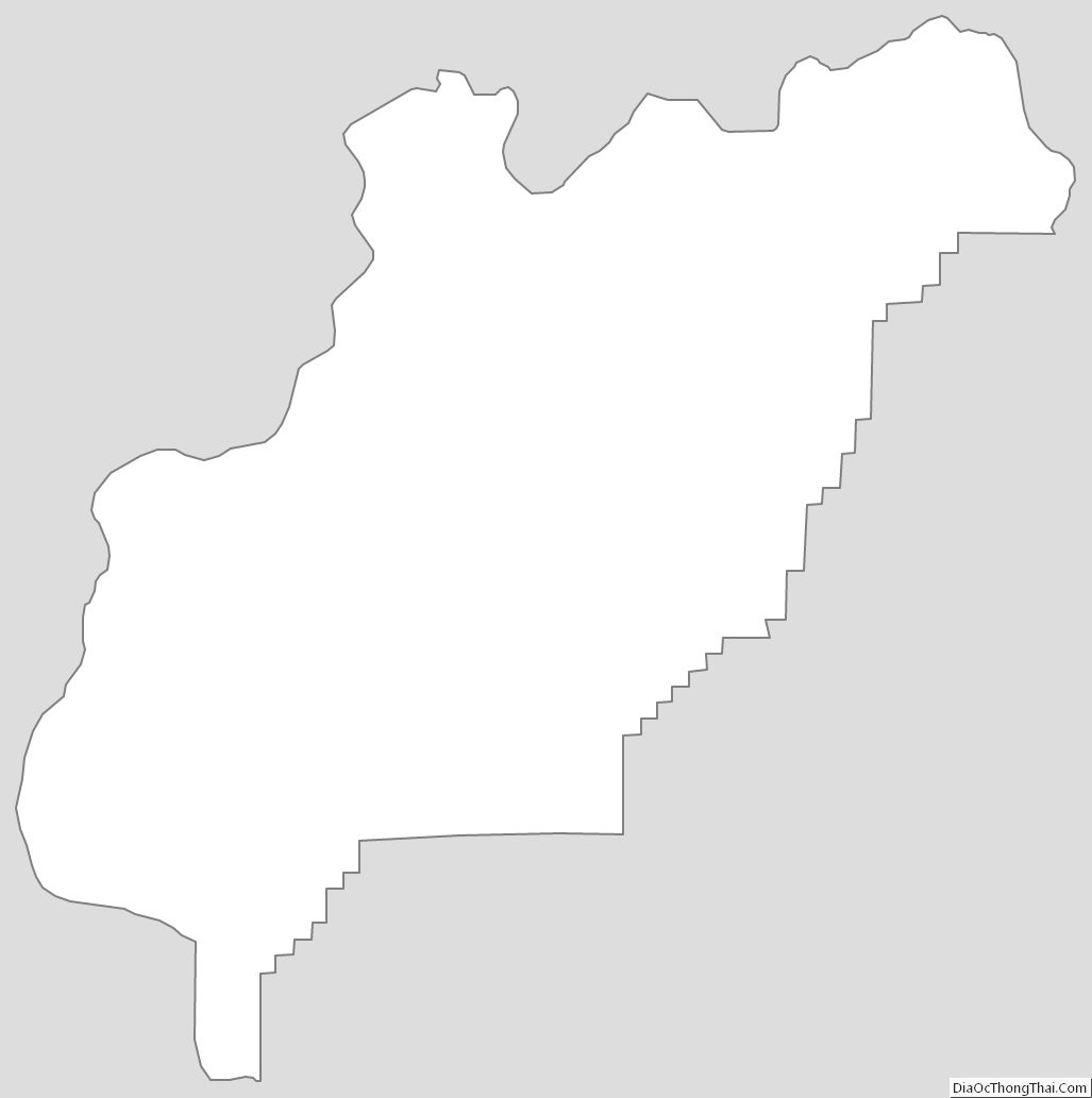
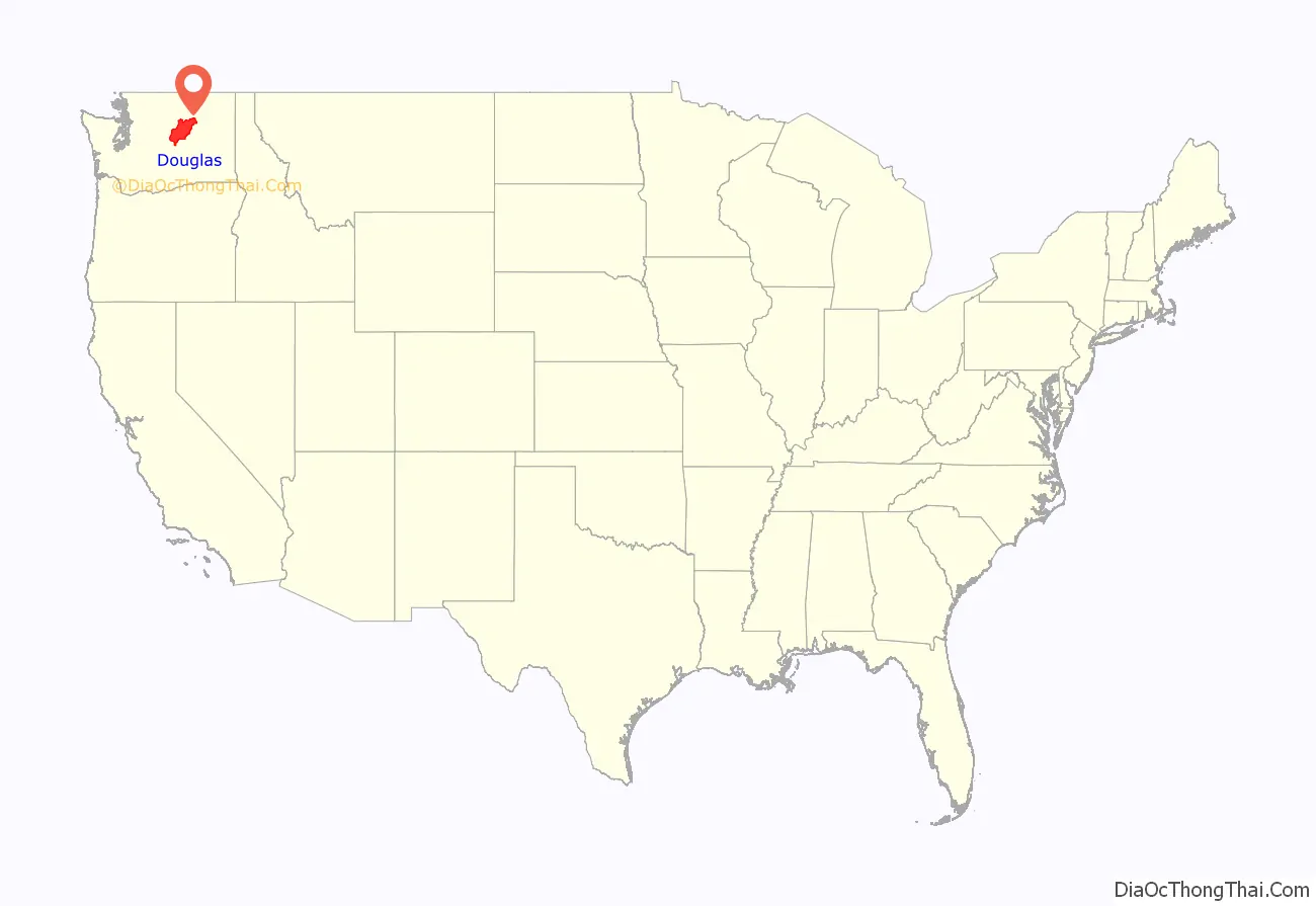
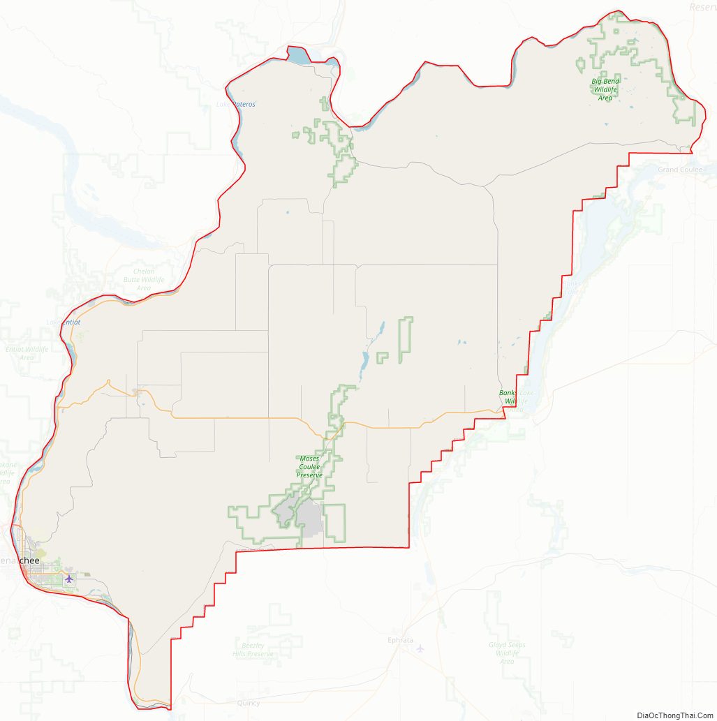
Douglas County location map. Where is Douglas County?
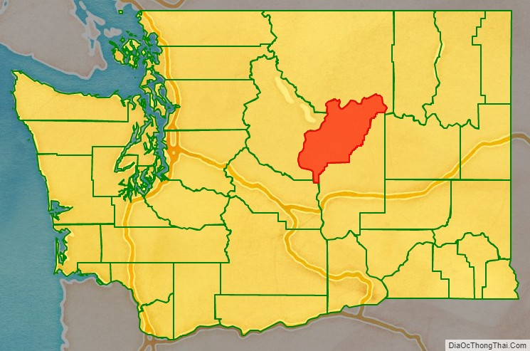
Douglas County Road Map
Geography
According to the United States Census Bureau, the county has a total area of 1,849 square miles (4,790 km), of which 1,819 square miles (4,710 km) is land and 29 square miles (75 km) (1.6%) is water.
Geographic features
- Columbia River
Major highways
- U.S. Route 2
- U.S. Route 97
Adjacent counties
- Okanogan County – north
- Grant County – south
- Kittitas County – southwest
- Chelan County – west
Douglas County Topographic Map
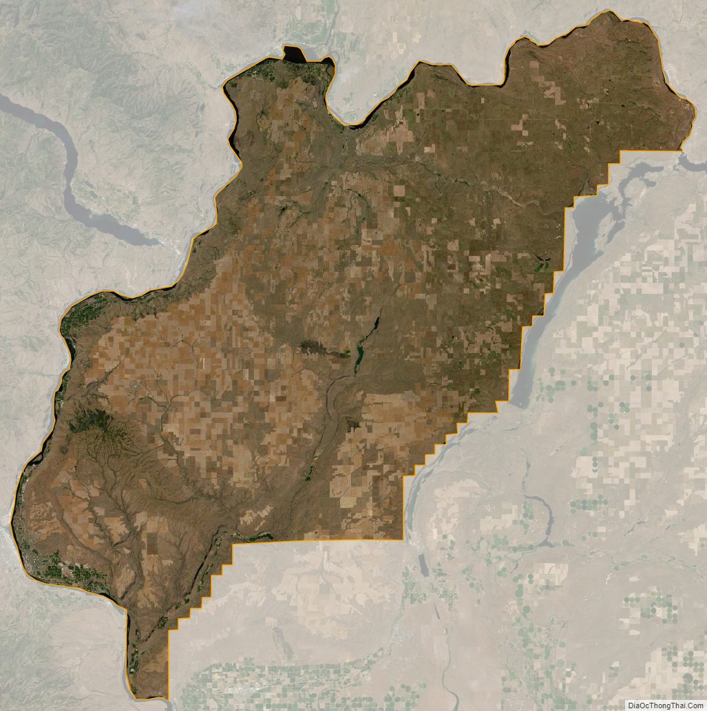
Douglas County Satellite Map
Douglas County Outline Map