Okanogan County (/ˌoʊkəˈnɑːɡən/) is a county located in the U.S. state of Washington along the Canada–U.S. border. As of the 2020 census, the population was 42,104. The county seat is Okanogan, while the largest city is Omak. Its area is the largest in the state.
About a fifth of the county’s residents live in the Greater Omak Area. The county forms a portion of the Okanogan Country. The first county seat was Ruby, which has now been a ghost town for more than 100 years.
Okanogan County was formed out of Stevens County in February 1888. The name derives from the Okanagan language place name ukʷnaqín. The name Okanogan (Okanagan) also refers to a part of southern British Columbia.
| Name: | Okanogan County |
|---|---|
| FIPS code: | 53-047 |
| State: | Washington |
| Founded: | February 2, 1888 |
| Named for: | Fort Okanogan |
| Seat: | Okanogan |
| Largest city: | Omak |
| Total Area: | 5,315 sq mi (13,770 km²) |
| Land Area: | 5,268 sq mi (13,640 km²) |
| Total Population: | 42,104 |
| Population Density: | 7.8/sq mi (3.0/km²) |
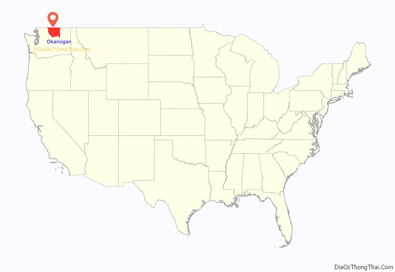
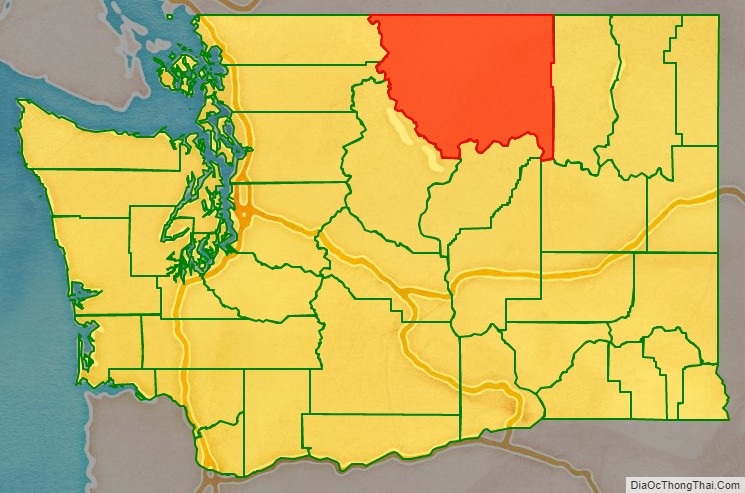
Okanogan County location map. Where is Okanogan County?
History
Before Europeans arrived, the Okanogan County region was home to numerous indigenous peoples that would eventually become part of three Indian reservations referred to as the Northern Okanogans or Sinkaietk, Tokoratums, Kartars and Konkonelps. They spoke in seven types of Interior Salish languages related to the Puget Sound tribes. The Okanogans experienced a favorable climate, camping in the winter, hunting bears in the spring, catching fish in the summer and hunting deer in fall. The camps consisted of teepee-like longhouses built with hides and bark. Women gathered nuts and berries. A popular destination for this was the Kettle Falls, where the Columbia River dropped some 20 feet (6.1 m).
Due to its remoteness, the Okanogan County area was one of the last in Washington settled by Europeans. It was an early thoroughfare used by prospectors to gain access to other communities, such as British Columbia. By the 21st century, the region specialized in agriculture, forestry and tourism. Electric producer Grand Coulee Dam was constructed between 1933 and 1942, originally with two power plants, around the Okanogan and Grant counties at the former’s southern border.
In July 2014, the Carlton Complex wildfire burned over 250,000 acres (390 sq mi; 1,000 km) in Okanogan County. It destroyed over 300 homes including 100 in and around Pateros
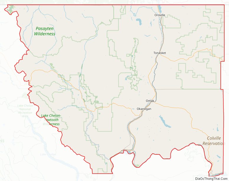
Okanogan County Road Map
Geography
According to the United States Census Bureau, the county has a total area of 5,315 square miles (13,770 km), of which 5,268 square miles (13,640 km) is land and 47 square miles (120 km) (0.9%) is water. It is the largest county in the state by area, and it is larger than three states in land area.
Geographic features
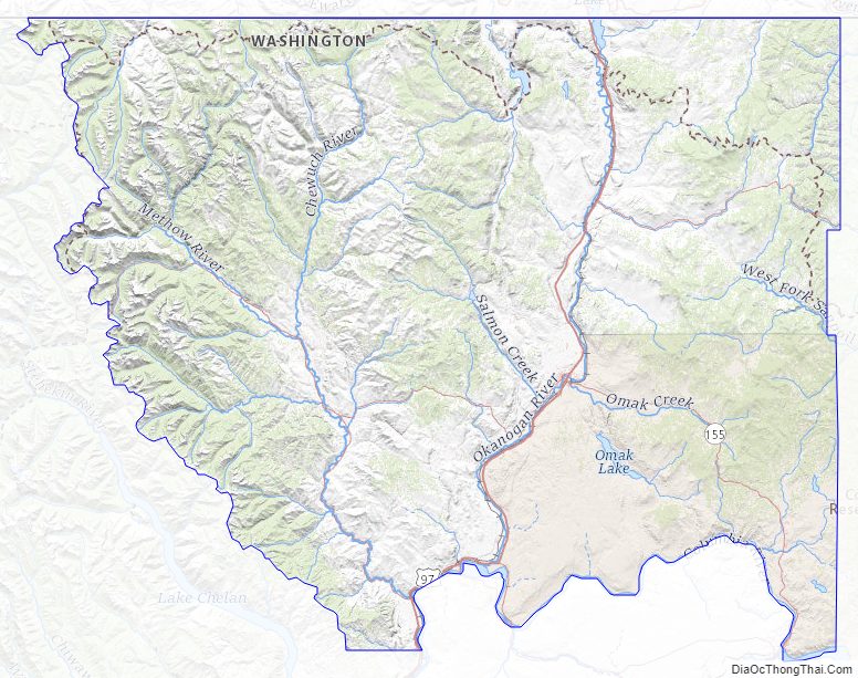
- Cascade Mountains
- Columbia River
- Okanogan River
- North Gardner Mountain, the highest point in Okanogan County
- Beaner Lake
Major highways
- U.S. Route 97
- State Route 20
- State Route 153
Adjacent counties
- Fraser Valley Regional District, British Columbia – northwest
- Okanagan-Similkameen Regional District, British Columbia – north
- Kootenay Boundary Regional District, British Columbia – northeast
- Ferry County – east
- Lincoln County – southeast
- Grant County – south
- Douglas County – south
- Chelan County – southwest
- Skagit County – west
- Whatcom County – west
National protected areas
- Pacific Northwest National Scenic Trail (part)
- Nez Perce National Historical Park (part)
- Okanogan–Wenatchee National Forest
- Pasayten Wilderness
Okanogan County Topographic Map
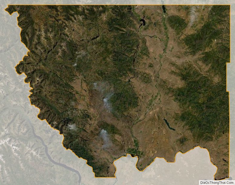
Okanogan County Satellite Map
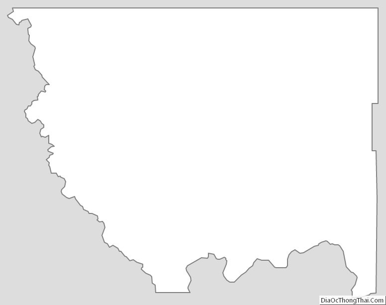
Okanogan County Outline Map