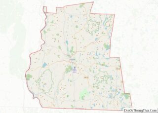
Grafton County is a county in the U.S. state of New Hampshire. As of the 2020 census, the population was 91,118. Its county seat is North Haverhill, a village within the town of Haverhill. Until 1972, the county courthouse and other offices were in downtown Woodsville, a larger village within the town of Haverhill.
Grafton County is part of the Claremont–Lebanon, NH–VT Micropolitan Statistical Area.
The county is the home of Dartmouth College and Plymouth State University. Progressive Farmer rated Grafton County fourth in its list of the “Best Places to Live in Rural America” in 2006, citing low unemployment (despite slow economic growth), a favorable cost of living, and the presence of White Mountain National Forest, the state’s only national forest.
| Name: | Grafton County |
|---|---|
| FIPS code: | 33-009 |
| State: | New Hampshire |
| Founded: | 1769 |
| Named for: | Augustus FitzRoy, 3rd Duke of Grafton |
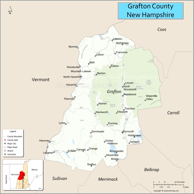
| Seat: | Haverhill |
| Largest city: | Lebanon |
| Total Area: | 1,749.7 sq mi (4,532 km²) |
| Land Area: | 1,708.6 sq mi (4,425 km²) |
| Total Population: | 91,118 |
| Population Density: | 53.3/sq mi (20.6/km²) |
| Time zone: | UTC−5 (Eastern) |
| Summer Time Zone (DST): | UTC−4 (EDT) |
| Website: | www.co.grafton.nh.us |
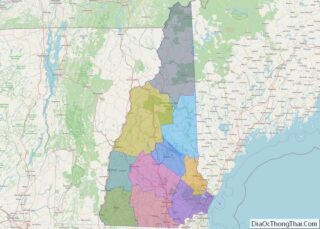
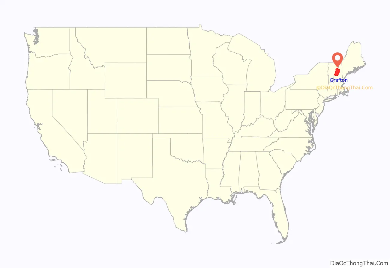
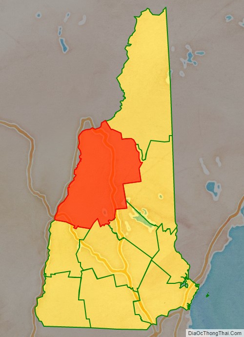
Grafton County location map. Where is Grafton County?
History
Grafton was one of the five counties originally identified for New Hampshire in 1769. It was named for Augustus FitzRoy, 3rd Duke of Grafton, who had been a supporter of American causes in Parliament, and who was serving as British Prime Minister at the time. The county was organized at Woodsville in 1771, and originally included the entire northern frontier of New Hampshire, including several towns now in Vermont. In 1803, the northern area was removed for the formation of Coos County. The three counties to the south were Strafford, Hillsborough and Cheshire, and the eastern edge bordered the “District of Maine”. In 1797, the county had 50 townships, 17 locations, and a population of 23,093.
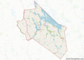
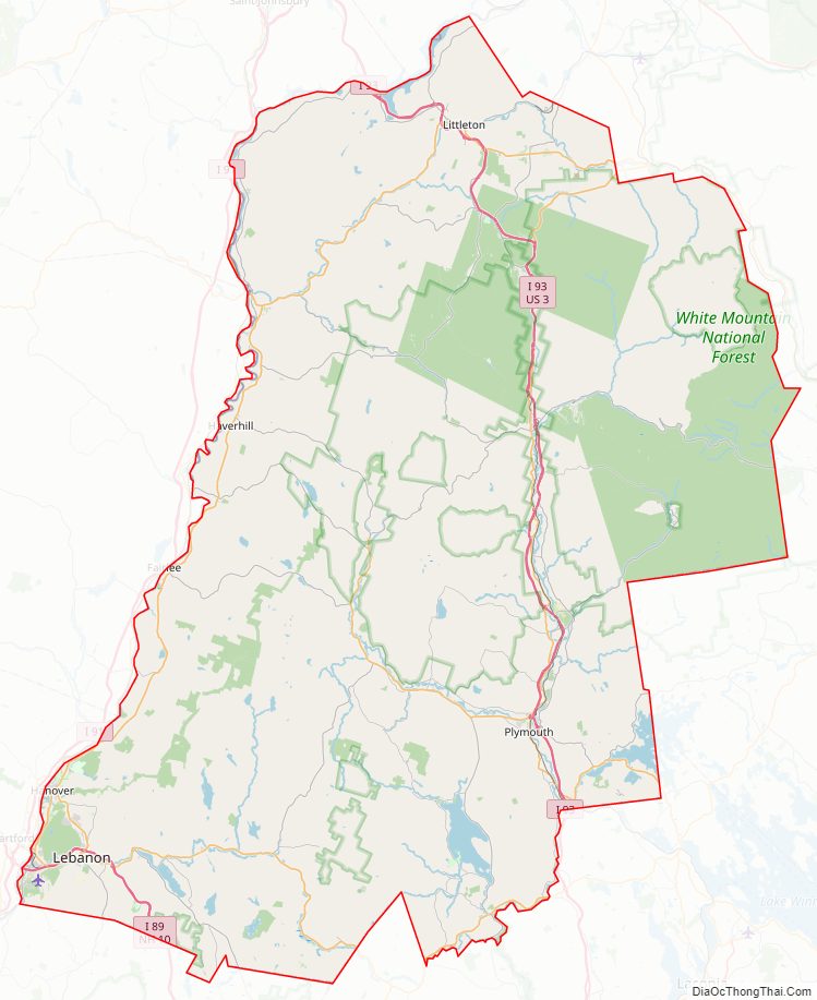
Grafton County Road Map
Geography
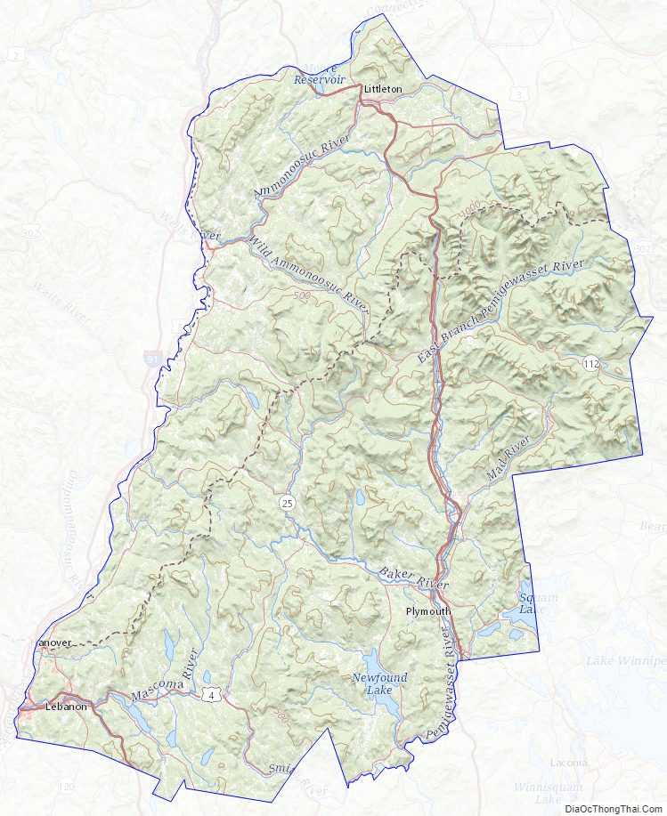
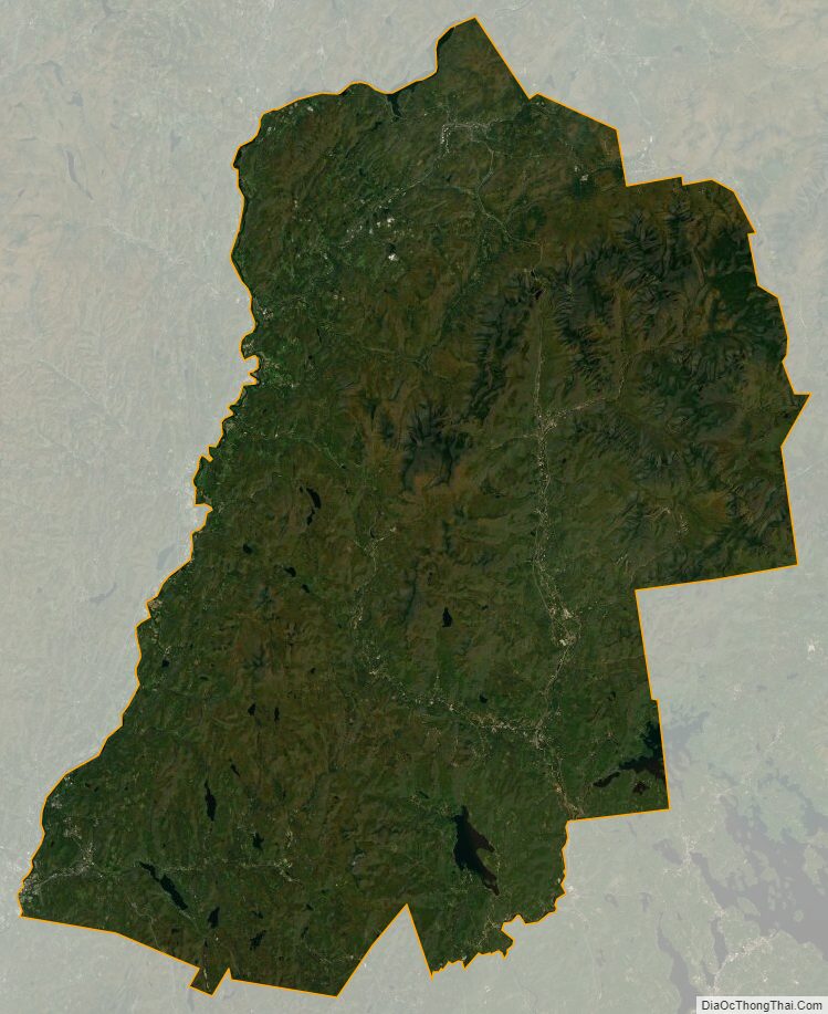
According to the U.S. Census Bureau, the county has a total area of 1,750 square miles (4,500 km), of which 1,709 square miles (4,430 km) are land and 41 square miles (110 km) (2.3%) are water. It is the second-largest county in New Hampshire by area.
Grafton County is heavily rural. About half of its area is in the White Mountain National Forest. Squam Lake, featured in the film On Golden Pond, and the Old Man of the Mountain landmark are here, as are Dartmouth College and the Hubbard Brook Experimental Forest. Many of the 4,000-foot mountains of New Hampshire are within the county. The Appalachian Trail passes through parts of at least ten towns in the county.
Adjacent counties
- Essex County, Vermont (north)
- Coos County (northeast)
- Carroll County (east)
- Belknap County (southeast)
- Merrimack County (south)
- Sullivan County (south)
- Windsor County, Vermont (southwest)
- Orange County, Vermont (west)
- Caledonia County, Vermont (northwest)
National protected area
- White Mountain National Forest (part)
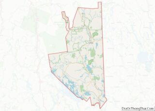
Grafton County Topographic Map
Grafton County Satellite Map
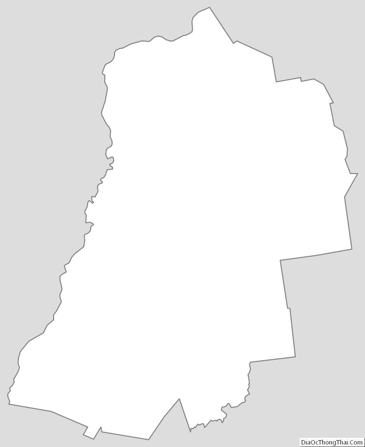
Grafton County Outline Map