Orleans County is a county located in the northeastern part of the U.S. state of Vermont. As of the 2020 census, the population was 27,393. Its county seat is the city of Newport. The county was created in 1792 and organized in 1799. As in the rest of New England, few governmental powers have been granted to the county. The county is an expedient way of grouping and distributing state-controlled governmental services.
| Name: | Orleans County |
|---|---|
| FIPS code: | 50-019 |
| State: | Vermont |
| Founded: | 1799 |
| Named for: | Orléans |
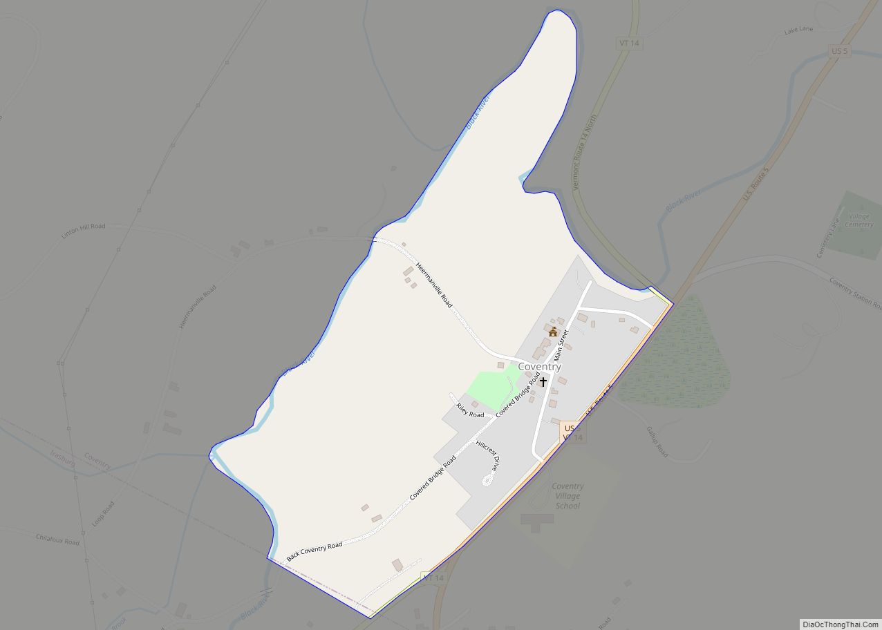
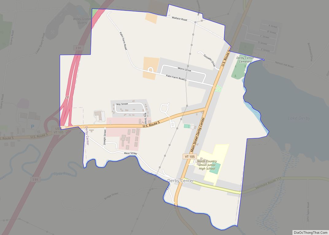
| Largest city: | Derby |
| Total Area: | 721 sq mi (1,870 km²) |
| Land Area: | 693 sq mi (1,790 km²) |
| Total Population: | 27,393 |
| Population Density: | 38/sq mi (15/km²) |
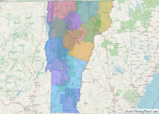
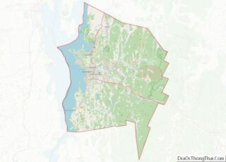
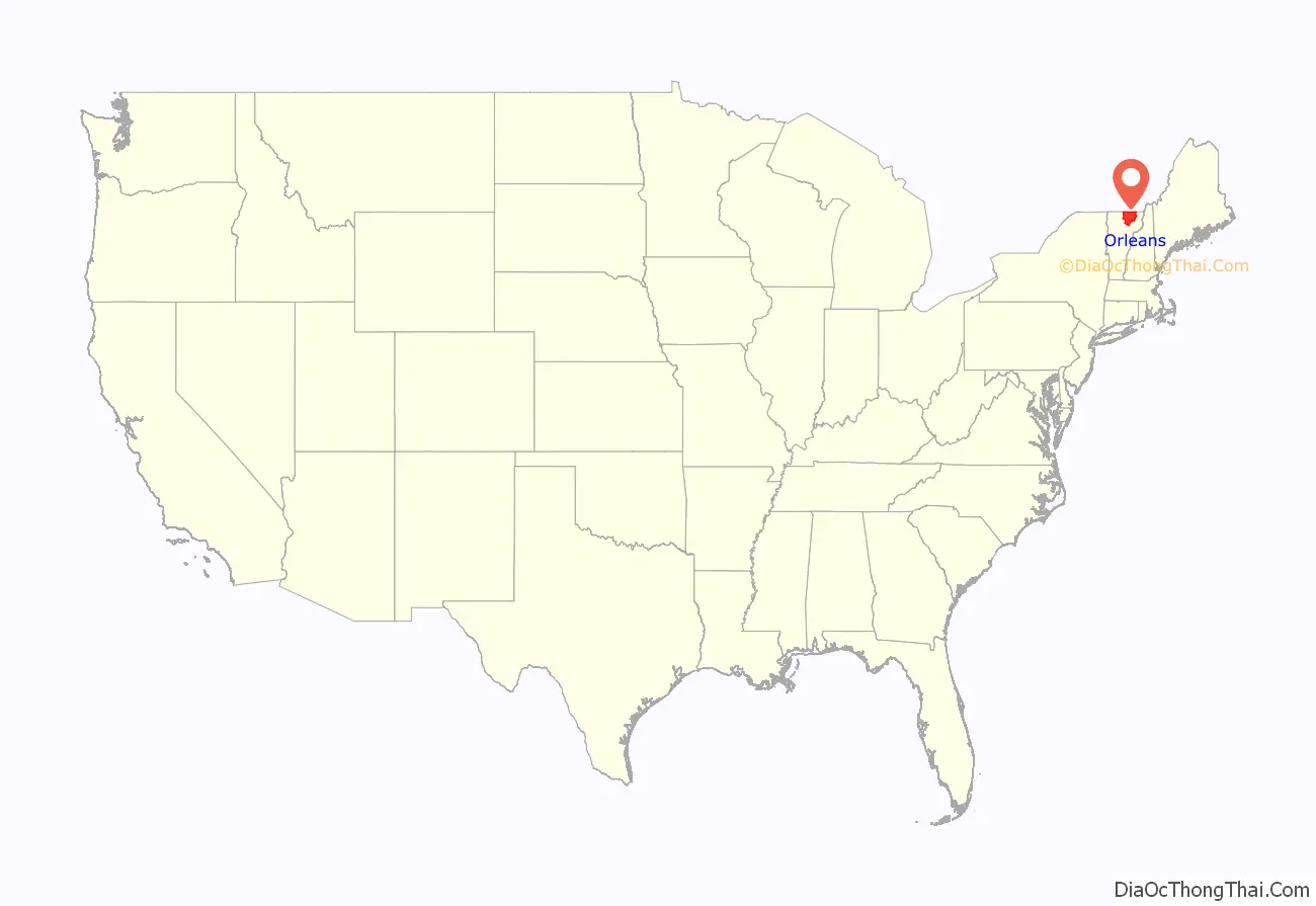
Orleans County location map. Where is Orleans County?
History
The county shares the same pre-Columbian history with the Northeast Kingdom.
In 1753, the Abenakis brought the ransomed John Stark down Lake Memphremagog and came ashore where Newport is now. They then traveled southeast to his home in New Hampshire.
Rogers’ Rangers were forced to retreat through the county following their attack on Saint-Francis, Quebec in 1759. To confound their avenging pursuers, they split up on the east shore of Lake Memphremagog. One group followed the Clyde River. Another followed the Barton River south to the falls at the outlet of Crystal Lake where they were able to catch fish. From there, they continued south over the summit into the Passumpsic River Valley.
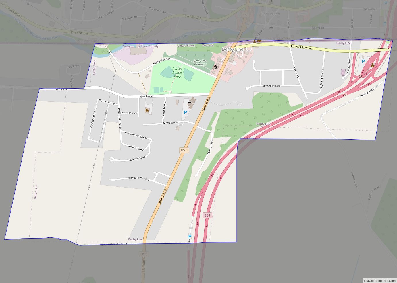
The British Crown sent out surveyors to mark the border between its two colonies of Canada and America in accordance with the Quebec Act of 1774. This was supposed to be on the 45th parallel north. The result, however was a crooked line up to .75 miles (1.21 km) north of this intended border. This was resolved in favor of the crooked line by the Webster–Ashburton Treaty of 1842. This affected Orleans County, particularly Derby Line, which would have otherwise reverted to Canada.
In 1779 or 1780, General Moses Hazen constructed the Bayley-Hazen Military Road from Newbury, Vermont through Hardwick, Greensboro, Craftsbury, and Albany to Hazen’s Notch in northern Vermont. This purpose of this road was to invade Canada. It was never used for that purpose, but was instrumental in the settlement of this area. However, it was five or more years before the wilderness was inhabited by other than a few Abenaki Indians, and that during the summer.
Vermont was divided into two counties in March, 1778. In 1781 the legislature divided the northernmost county, Cumberland, into three counties: Windham and Windsor, located about where they are now. The northern remainder was called Orange county. This latter tract nearly corresponded with the old New York county of Gloucester, organized by that province March 16, 1770, with Newbury as the shire town.
The state granted a town to Ebenezer Crafts, and sixty-three associates, on November 6, 1780. The town name was changed to Craftsbury, in honor of Ebenezer Crafts on October 27, 1790. Crafts was the first settler in the county.
On September 3, 1783, as a result of the signing of the Treaty of Paris the Revolutionary War ended with Great Britain recognizing the independence of the United States. Vermont’s border with Quebec was established at 45 degrees north latitude.
From 1791 to 1793, Timothy Hinman built what is now called the “Hinman Settler Road” linking Greensboro north to Derby and Canada.
On November 5, 1792, the legislature divided Chittenden and Orange counties into six separate counties, as follows: Chittenden, Orange, Franklin, Caledonia, Essex, and Orleans. No reason is given for the county being named after Orléans, France.
Orleans lost territory when the new Jefferson county was created in 1797.
In 1810, Runaway Pond suddenly flooded the Barton River Valley with 1,988,000,000 US gallons (7.53×10 l; 1.655×10 imp gal) of water in the greatest natural catastrophe in Orleans County post-Columbian history. Incredibly, there were no deaths.
On December 27, 1813, the county was invaded by British militia from nearby Stanstead, Quebec, during the War of 1812 in order to destroy an undefended barracks at Derby and to forage for supplies. No one was injured. Until the invasion, local inhabitants, like most New Englanders, opposed the war. A number had smuggled supplies to the British. After the invasion, their enthusiasm for their neighbors diminished substantially.
June 1816 brought 1 foot (0.30 m) of snow to the county followed by agricultural devastation. 1816 became known as the Year without a summer.
When Lamoille county was formed in October 1835, Orleans lost the towns of Eden, Hyde Park, Morristown, and Wolcott.
In 1858, Barton (and Orleans County) obtained a triangular piece of land from Sheffield (and Caledonia County) which included all of May Pond, the entire area south of Crystal Lake, and the village of South Barton.
By 1860, the state was a leading producer of hops in the nation. Orleans and Windsor Counties led the state. This crop conveniently arrived as a replacement for the disappearance of the Merino sheep trade. Hops, too, disappeared. A number of factors were involved: plant disease in 1909, migration of planting to California from 1853 to 1910, where growing was performed more efficiently, and Prohibition both at the state and national level.
During the Civil War, Company D, 4th Vermont Infantry was recruited largely from Orleans County.
Volunteers from the county joined the Union Army in response to a call from the government. In September 1861, they joined the Vermont 6th Vermont Infantry, and helped fill out Company D. The regiment ultimately became part of the First Vermont Brigade.
In 1864, 267 men from the 11th Vermont Infantry were captured at the Battle of the Weldon Railroad in the Overland campaign. today better known as the Battle of Jerusalem Plank Road. It was a considerable source of local concern when it was learned that these prisoners had been taken to Andersonville prison, a place known, even then, for its poor living conditions. 54 of these prisoners were from Orleans County. Many of them died in prison.
French immigration into the county started before the Civil War. It continued afterwards.
Like the rest of the state, Orleans County sent up to one-quarter of its eligible men to the Civil War. Ten percent of these died. Others came back too maimed to continue working their farms, which most volunteers had left. The sudden offering of many farms for sale in the mid-1860s resulted in a precipitous drop in farm prices. Nearby French-Canadians took advantage of this. As a result of this and loss of native farm labor to other states, Vermont, particularly the northern part, saw many immigrants then and through the turn of the twentieth century.
After increasing in population since its founding, the county began losing population starting in 1900. It reached a twentieth-century low in population in 1960 at 20,143. The population has risen ever since.
In 1903, the county purchased a jail, mail order. It housed about 350 people annually. It once held 140 people at one time, a fallout from a widely attended 1973 rock concert. The jail closed in 1995. It is listed on the National Register of Historic Places.
In 1903, a state law allowed each town to decide whether to permit the sale of liquor within their boundaries. By 1905, no town in the county allowed the sale of alcoholic beverages. The change was not that dramatic since state law had theoretically forbidden alcohol prior to 1903, but this law was unevenly enforced. Currently in 2017, the towns of Derby, Jay, and Westmore, the village of Orleans, and the city of Newport permit liquor sales through retail outlets supervised by the Vermont Department of Liquor Control.
In 1910, there were 2,800 farms in the county, containing 27,000 cows. They produced 15,000,000 pounds (6,800,000 kg) of milk annually.
In 1967, researcher and scientist Gerald Bull constructed a laboratory for hisSpace Research Corporation in Highwater, just north of the adjacent Canada–US border. The property overlapped into the county in North Troy. His intent was to fire research packages into orbit using heavy artillery.
In 2004, what was then billed as the final concert of the band Phish was held in Coventry on August 14–15. The concert was the single largest gathering of people in the town’s history. With 70,000 tickets sold, Coventry’s augmented population was one of the largest in the state’s history.
The county has twenty-three places on the National Register of Historic Places.
In 2008, the state notified residents of Albany, Craftsbury, Irasburg, Lowell, Newport Town, Troy, Westfield and six towns in the adjacent counties of Lamoille and Franklin, that a review of health records from 1995 to 2006 had revealed that residents within 10 miles (16 km) of the former asbestos mine on Belvidere Mountain had higher than normal rates of contracting asbestosis. The state and federal government continues to study this problem. A critic replied that the entire basis of the study were three unidentified people who died from asbestosis 1995-2005 out of a total population of 16,700. In April 2009 the Vermont Department of health released a revised study which found that all of deaths related to the asbestos mine were caused by occupational exposure. The report also concluded that people living near the mines had no increased risk of asbestos related illness than people living anywhere else in Vermont. However, the site will still need to be cleaned. In 2009, the expected cost of cleanup was $300 million.
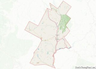
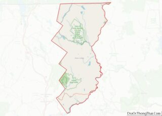
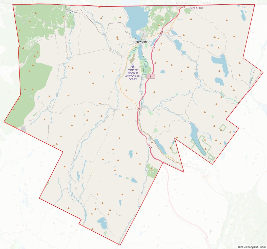
Orleans County Road Map
Geography
According to the U.S. Census Bureau, the county has an area of 721 square miles (1,870 km), of which 693 square miles (1,790 km) is land and 28 square miles (73 km) (3.9%) is water. It has the largest area of the three counties comprising the Northeast Kingdom.
The county lies between the eastern and western ranges of the Green Mountains.
The highest point in the county is Jay Peak in the town of Jay, at 3,858 feet (1,176 m). The lowest is the surface of Lake Memphremagog at 682 feet (208 m).
The county is mainly drained by four river systems: the Barton, the Black, the Clyde and the Missisquoi River. The first three run north. The last meanders west through Canada and the U.S. An exception is found at the southern end of the county: Greensboro, Craftsbury, and southern Glover are largely drained south and west by the Lamoille River. The county is unique in eastern Vermont for mostly draining north as a part of the St. Lawrence River basin. All Vermont counties directly to the south (and east of the Green Mountains) drain into the Connecticut River, as does much of Essex county, to the east.
The Barton River drains Crystal Lake, runs north through Barton, Brownington, Coventry and drains through Newport into Lake Memphremagog. The Barton River watershed also includes the towns of Derby, Irasburg, Westmore, and the water bodies of Lake Willoughby, Crystal Lake, and Shadow and Parker ponds.
The Black River is about 30 miles (48 km) in length. It rises in some ponds in Craftsbury, and passes through Albany, Irasburg, and Coventry. It reaches Lake Memphremagog at Salem. The watershed also includes Albany, Lake Eligo and the Hosmer Ponds.
The Clyde River has four hydroelectric dams before reaching Lake Memphremagog. The watershed includes Brighton (Essex County), Charleston, Morgan (Essex County), Derby, Seymour Pond, Echo Lakes, and Island, Clyde and Pensioner ponds.
Additionally, the Canadian rivers of Coaticook and Tomifobia watersheds include Derby, Holland, and Norton Pond, Holland Pond, and Great and Little Averill Ponds.
The county contains more ponds than any other in the state.
The county contains three state forests: Hazen’s Notch, Jay, and Willoughby.
Fauna
The area is conducive to songbirds because of its northern location, boreal forests, mountain peaks, bodies of water and marshes. One inventory in June 2012 found the following species: ovenbird, eastern whip-poor-will, Wilson’s snipe, alder flycatcher, warbling vireo, red-eyed vireo, winter wren, wood thrush, American robin, veery, gray catbird, common yellowthroat, chestnut-sided warbler, northern waterthrush, black-throated green warbler, northern parula, American redstart, white-throated sparrow, indigo bunting, red-winged blackbird, American goldfinch, osprey, ring-necked duck, hooded merganser, pied-billed grebe, double-crested cormorant, great blue heron, bald eagle, Virginia rail, American herring gull, ring-billed gull, chimney swift, belted kingfisher, marsh wren, house wren, eastern bluebird, pine warbler, black-and-white warbler, Savannah sparrow, northern cardinal, eastern meadowlark, bobolink, bank swallow, cliff swallow, barn swallow, white-breasted nuthatch, ruffed grouse, ruby-throated hummingbird, blue-headed vireo, red-breasted nuthatch, Lincoln’s sparrow, rose-breasted grosbeak, pine siskin, purple finch, Canada warbler, magnolia warbler, Nashville warbler, golden-crowned kinglet, mourning warbler, dark-eyed junco, and northern rough-winged swallow. Also known to be in the area were: wild turkey, American bittern, broad-winged hawk, peregrine falcon, pileated woodpecker, hairy woodpecker, scarlet tanager, American woodcock, Bicknell’s thrush, blackpoll warbler, yellow-bellied flycatcher, broad-winged hawk, and Swainson’s thrush. Also, the American crow, and kestrel. In 2013, a separate inventory added the common loon, chickadee, blue jay, Barrow’s goldeneye, Lapland longspur, white-winged scoter, olive-sided flycatcher, red crossbill, Bonaparte’s gull, and rough-legged hawk.
Climate
The average growing season is about 130 frost-free days in the Newport area. As this is the lowest point in the county, the growing season for other places in the county which are more elevated, is typically shorter.
Tornadoes have struck the county four times from 1950 to 1995, all rated F1, with one causing an injury. This level is 2.7 times below the national average.
On February 5, 1995, Jay Peak received 42.0 inches (107 cm) of snow, the greatest daily snowfall recorded for any location in Vermont.
In the 20th century, the county was designated in hardiness as a Zone Three. Most plants that would normally be tolerant up to Zone Four, do well there in 2014; even some that are Zone Five. Growing seasons have been increasing by 3.7 days a decade since 1974.
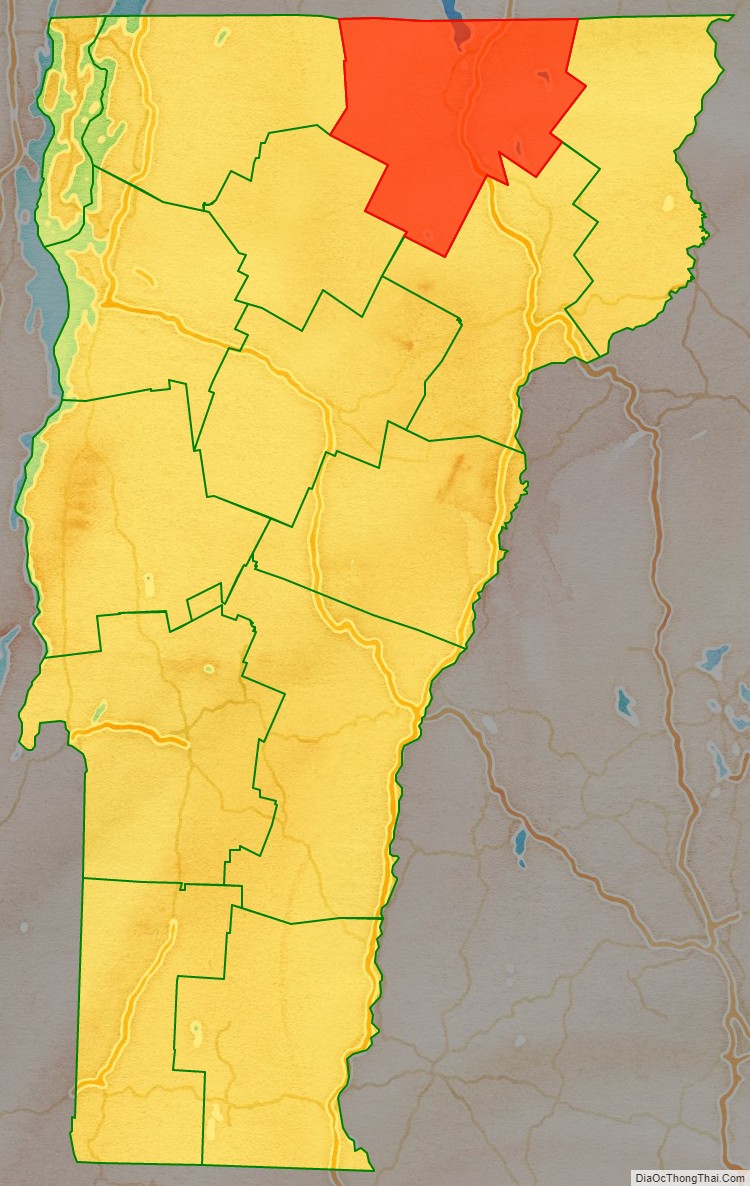
Adjacent counties and municipalities
- Essex County – east
- Caledonia County – south
- Lamoille County – southwest
- Franklin County – west
- Brome-Missisquoi Regional County Municipality, Quebec – northwest
- Memphrémagog Regional County Municipality, Quebec – north
- Coaticook Regional County Municipality, Quebec – northeast
Orleans County Topographic Map

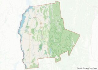
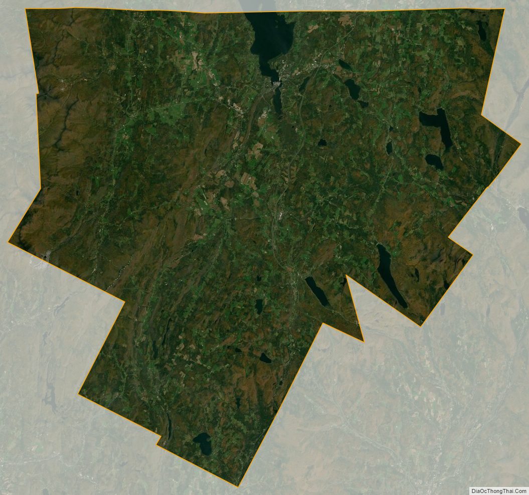
Orleans County Satellite Map
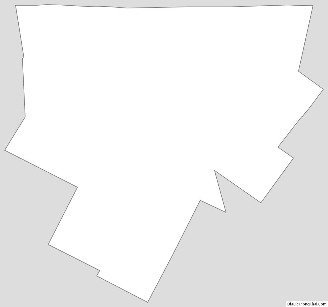
Orleans County Outline Map