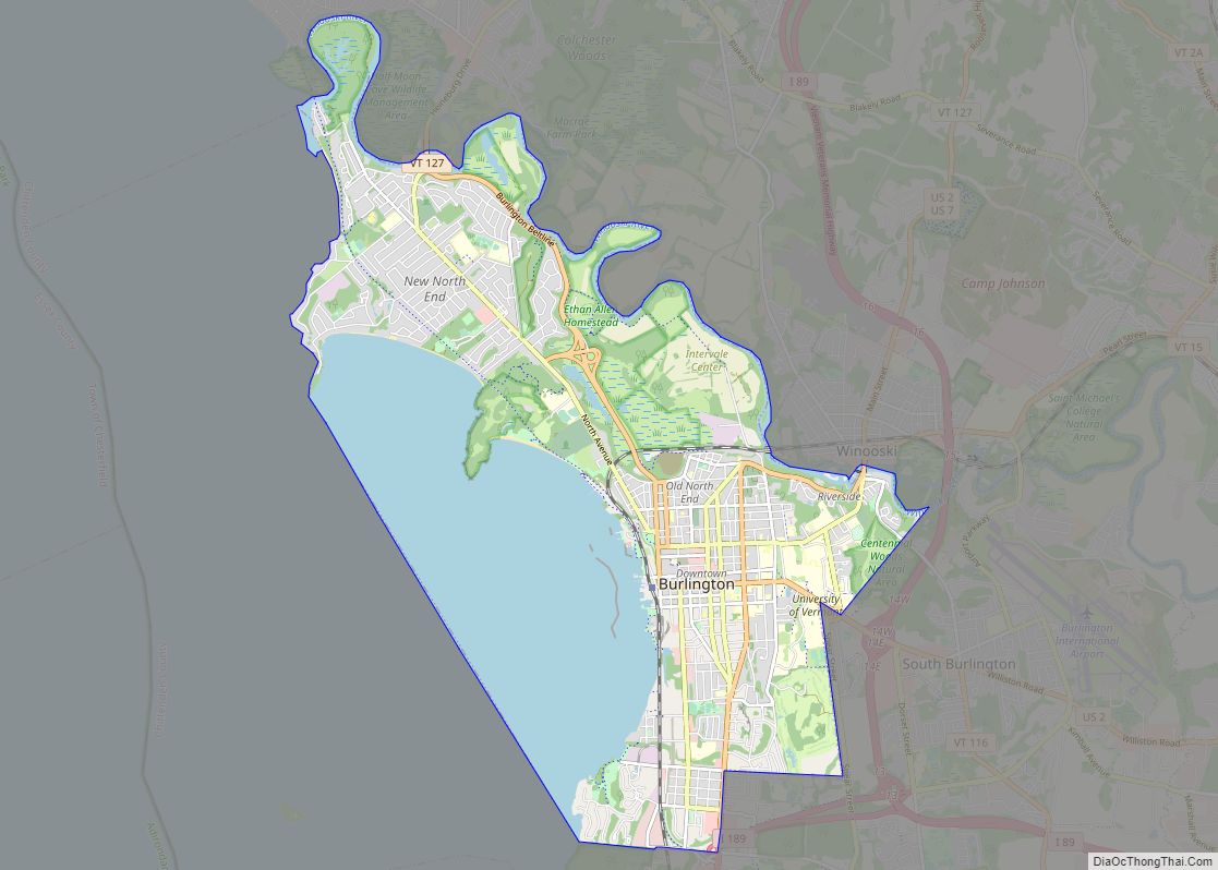
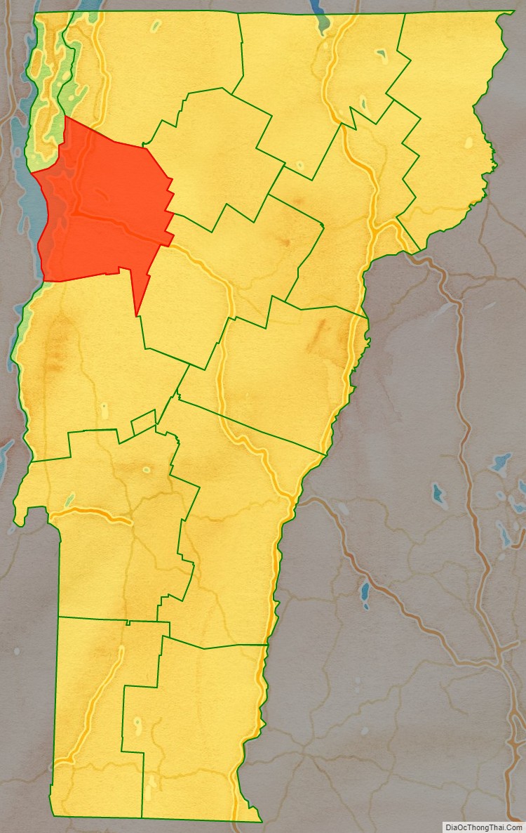
Chittenden County (/ˈtʃɪtəndən/) is the most populous county in the U.S. state of Vermont. As of the 2020 census, its population was 168,323. The county seat is Vermont’s most populous municipality, the city of Burlington. The county has over a quarter of Vermont’s population and more than twice the population of Vermont’s second-most populous county, Rutland. The county also has more than twice the population density of Vermont’s second-most dense county, Washington. The county is named for Vermont’s first governor and one of the framers of its constitution as an independent republic and later U.S. state, Thomas Chittenden.
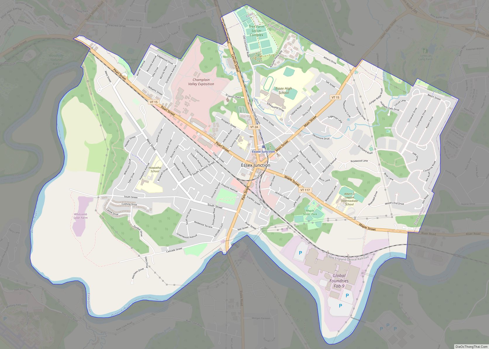
The county has most of Vermont’s fastest growing municipalities. It is one of the three counties that comprise the Burlington metropolitan area, along with the counties of Franklin and Grand Isle to the north and northwest, respectively. The University of Vermont, Vermont’s largest university, is located in the county, as well as its affiliated hospital, the UVM Medical Center (which is Vermont’s largest hospital and collectively forms the largest employer in the state along with the university). Vermont’s largest private employer (GlobalFoundries) and largest airport (Burlington International Airport) are in the localities of Essex Junction and South Burlington, respectively.
The Vermont Army National Guard is based at Camp Johnson in the town of Colchester. The Vermont Air National Guard is based at the Burlington Air National Guard Base on the grounds of the Burlington International Airport in South Burlington.
| Name: | Chittenden County |
|---|---|
| FIPS code: | 50-007 |
| State: | Vermont |
| Founded: | October 22, 1787 |
| Named for: | Thomas Chittenden |
| Largest city: | Burlington |
| Total Area: | 619 sq mi (1,600 km²) |
| Land Area: | 537 sq mi (1,390 km²) |
| Total Population: | 168,323 |
| Population Density: | 270/sq mi (100/km²) |
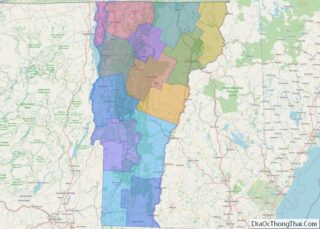
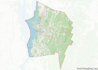
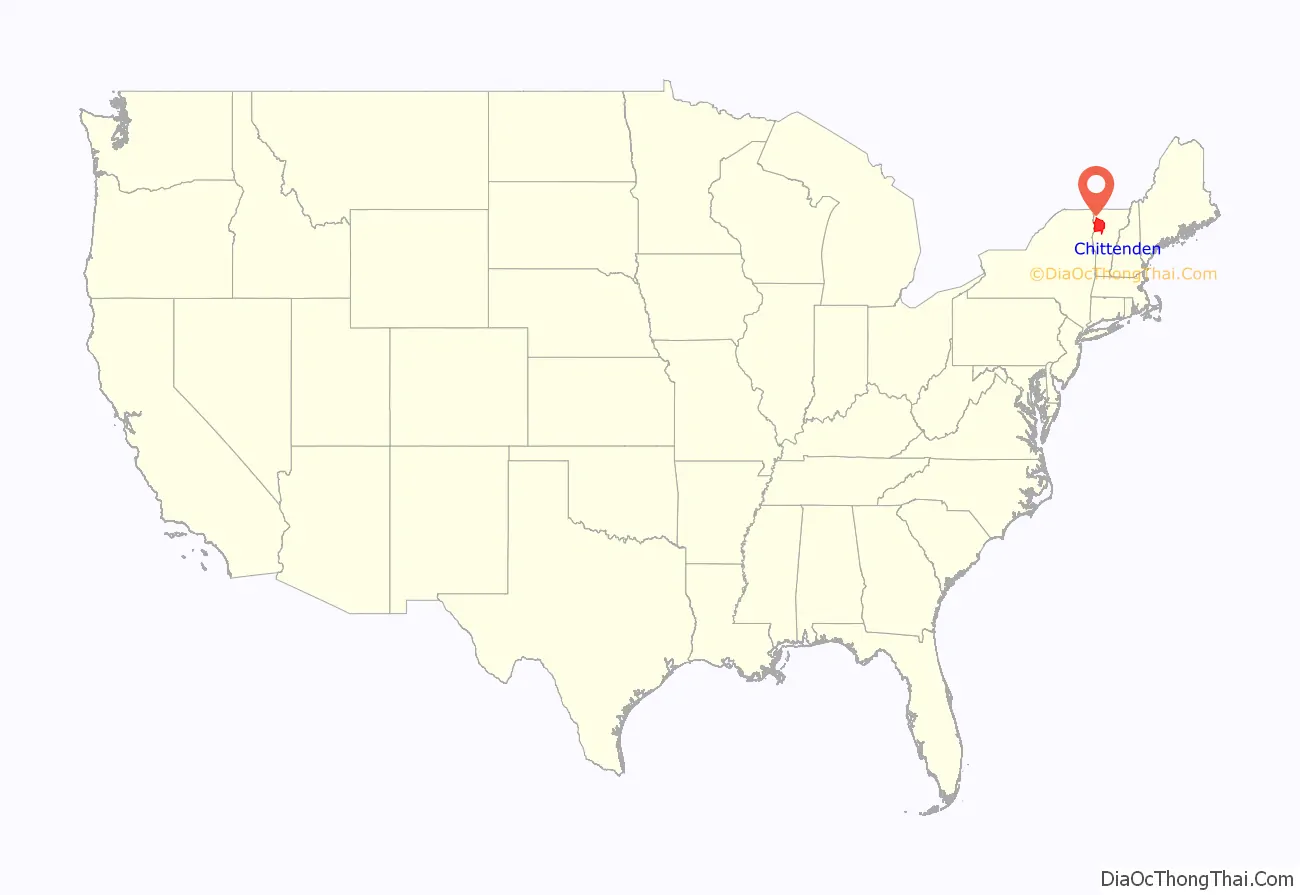
Chittenden County location map. Where is Chittenden County?
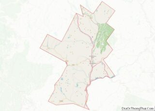
Chittenden County Road Map
Geography
According to the U.S. Census Bureau, the county has a total area of 619 square miles (1,600 km), of which83 square miles (210 km) (13%) are covered by water. It is the third-smallest county in Vermont by area.
Originally, Chittenden County contained parts of other counties. It included all of today’s Franklin, Grand Isle, and Lamoille counties, and parts of today’s Orleans, Washington, and Addison counties.
The town of Underhill in Chittenden County is home to the highest summit within the state, Mount Mansfield, which has a peak elevation of 4,393 feet (1,339 m) above sea level.
Adjacent counties
- Addison County – south
- Clinton County, New York – northwest
- Essex County, New York – west
- Franklin County – north
- Grand Isle County – northwest
- Lamoille County – northeast
- Washington County – southeast
Major highways
- I-89
- I-189
- US 2
- US 7
- US 7 Alt.
- VT 2A
- VT F-5
- VT 15
- VT 17
- VT 116
- VT 117
- VT 127
- VT 128
- VT 289
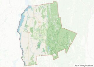
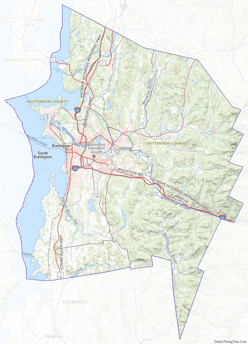
Chittenden County Topographic Map
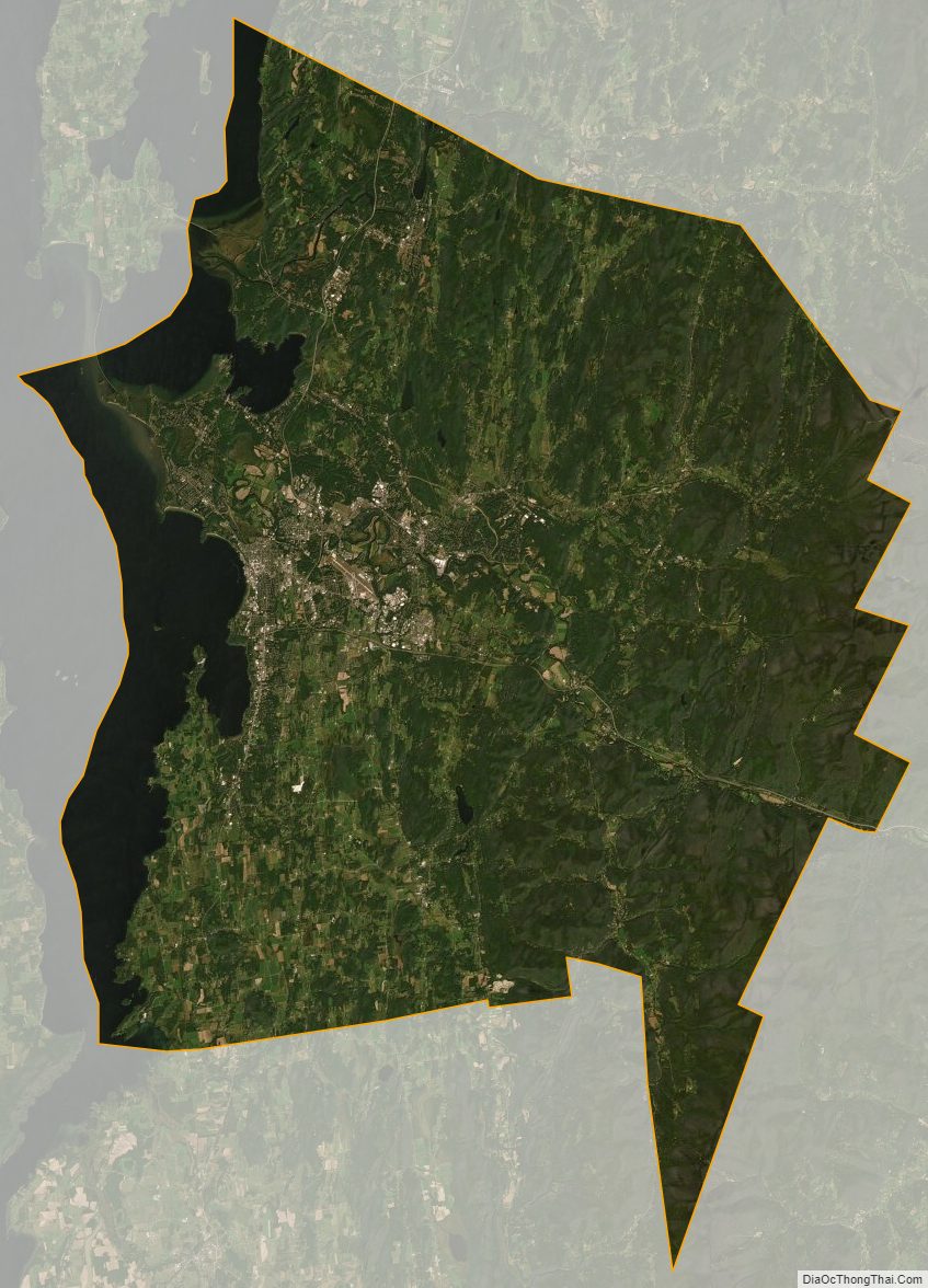
Chittenden County Satellite Map
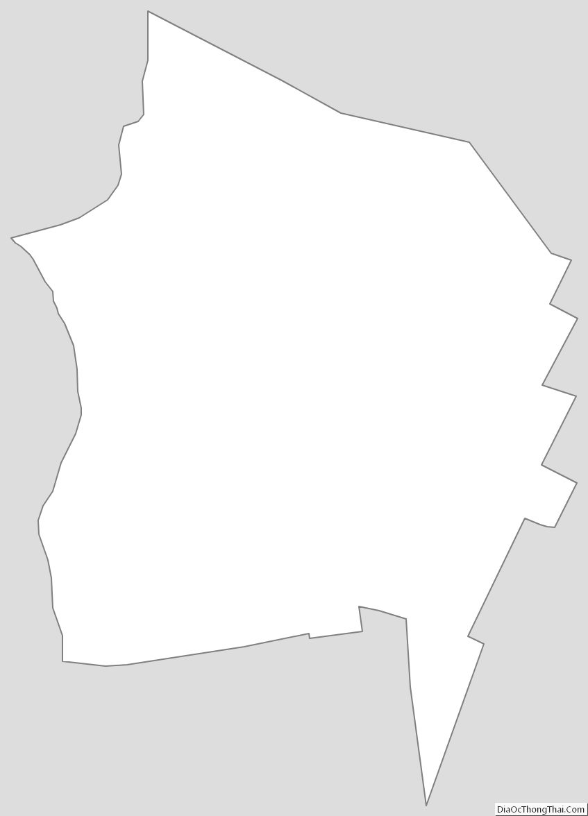
Chittenden County Outline Map