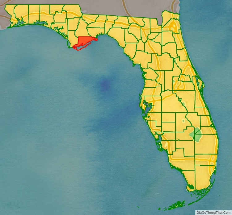
Franklin County is a county along the Gulf of Mexico in the panhandle of the U.S. state of Florida. As of the 2020 census, the population was 12,451, making it the third-least populous county in Florida. The county seat is Apalachicola.
The county includes several large preserved areas and rivers and has been home to commercial timber and fishing industry. More recently it has become popular for tourism and retirement. It includes several rivers, state parks, and islands.
| Name: | Franklin County |
|---|---|
| FIPS code: | 12-037 |
| State: | Florida |
| Founded: | February 8, 1832 |
| Named for: | Benjamin Franklin |
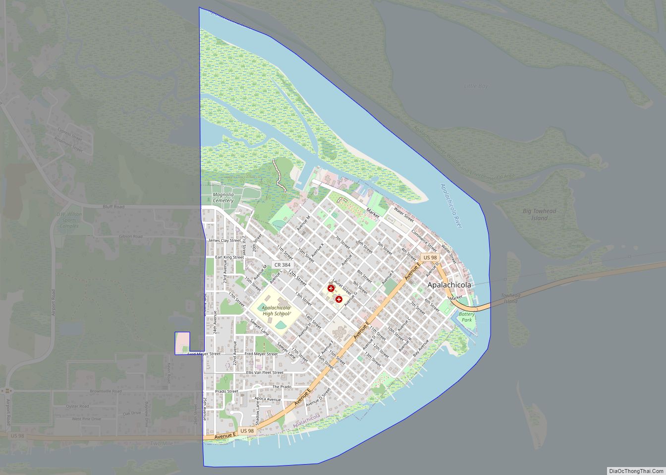
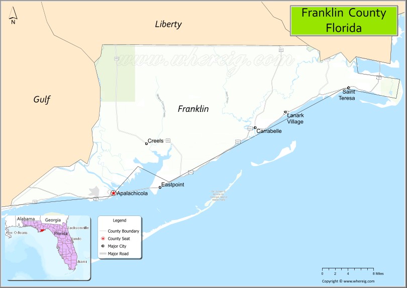
| Seat: | Apalachicola |
| Total Area: | 1,026 sq mi (2,660 km²) |
| Land Area: | 535 sq mi (1,390 km²) |
| Total Population: | 12,451 |
| Population Density: | 23/sq mi (9/km²) |
| Time zone: | UTC−5 (Eastern) |
| Summer Time Zone (DST): | UTC−4 (EDT) |
| Website: | www.franklincountyflorida.com |
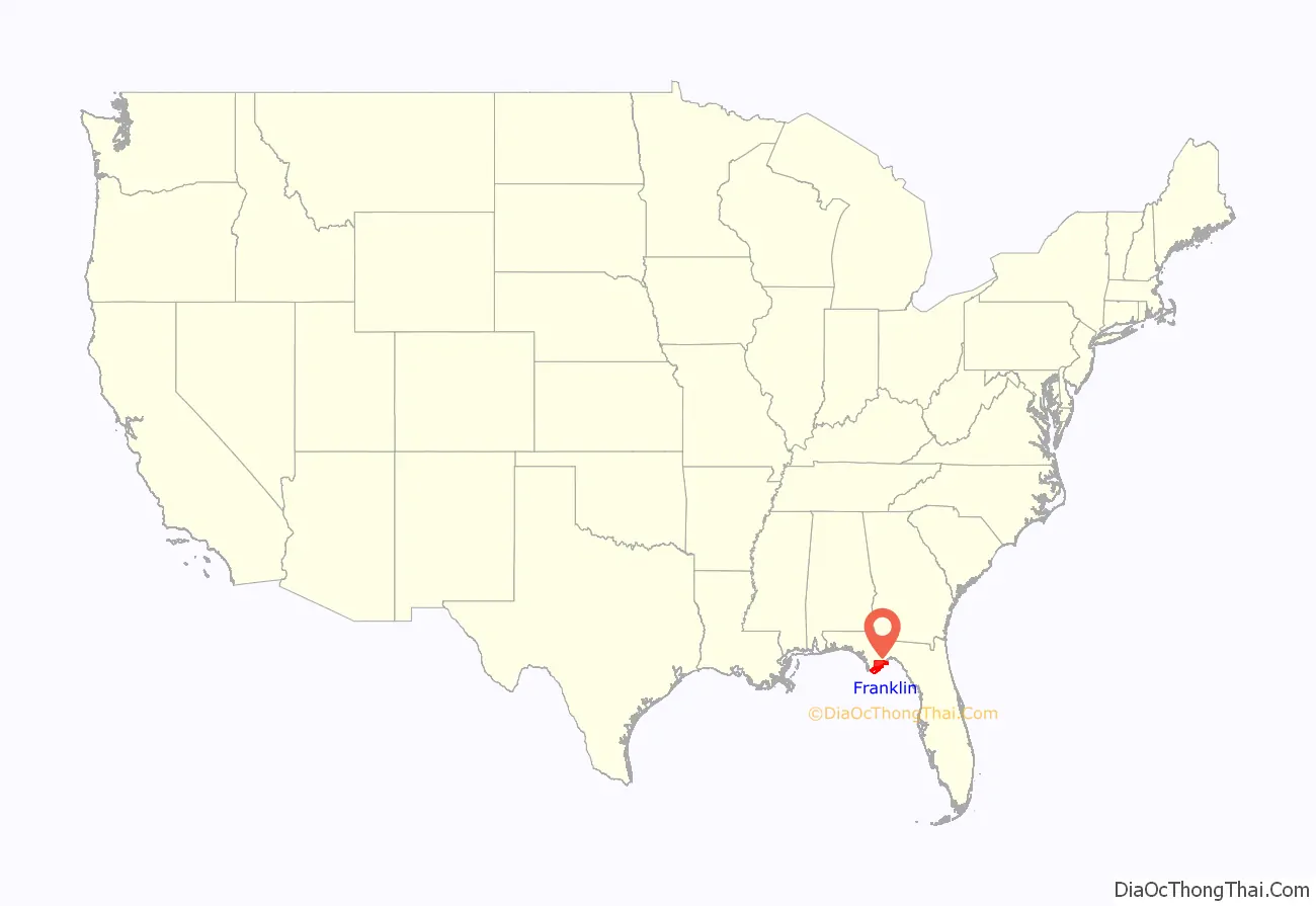
Franklin County location map. Where is Franklin County?
History
Franklin County was founded in 1832. It was named for Benjamin Franklin.
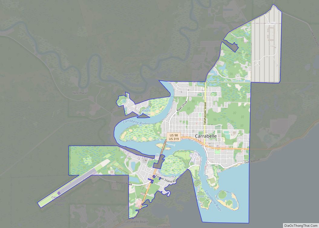
The second largest town in Franklin County is Carrabelle, 25 miles east of Apalachicola on the Carrabelle River.
Camp Gordon Johnston
During World War II most of Franklin County was used by the U.S. Army for amphibious and jungle training, for which the beaches and islands were ideal. When the war ended and the military left, Lanark Village was established from the remaining officer’s quarters.
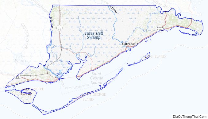
Franklin County Road Map
Geography
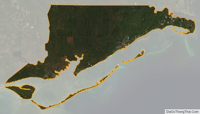
According to the U.S. Census Bureau, the county has a total area of 1,026 square miles (2,660 km), of which 535 square miles (1,390 km) is land and 492 square miles (1,270 km) (47.9%) is water.
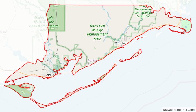
Franklin County includes part of Tate’s Hell State Forest. Bald Point State Park is nearby. The county’s river’s include the Carrabelle River and its tributaries the New River (Florida Panhandle) and Crooked River (Florida), visited by paddlers. The extreme eastern tip of the county is bordered by the Ochlockonee River.
Adjacent counties
- Liberty County, Florida – north
- Wakulla County, Florida – northeast
- Gulf County, Florida – west (northern part of the county observes CDT/CST time)
National protected areas
- Apalachicola National Forest (part)
- St. Vincent National Wildlife Refuge (part)
Barrier Islands
- Cape St. George Island
- Dog Island
- St. George Island
- St. Vincent Island
Also, St. James Island, while part of the mainland, is technically an island, being separated from the rest of Franklin County by rivers and an estuary.
Historic sites
- Crooked River Light
- Prospect Bluff Historic Sites
Franklin County Topographic Map
Franklin County Satellite Map
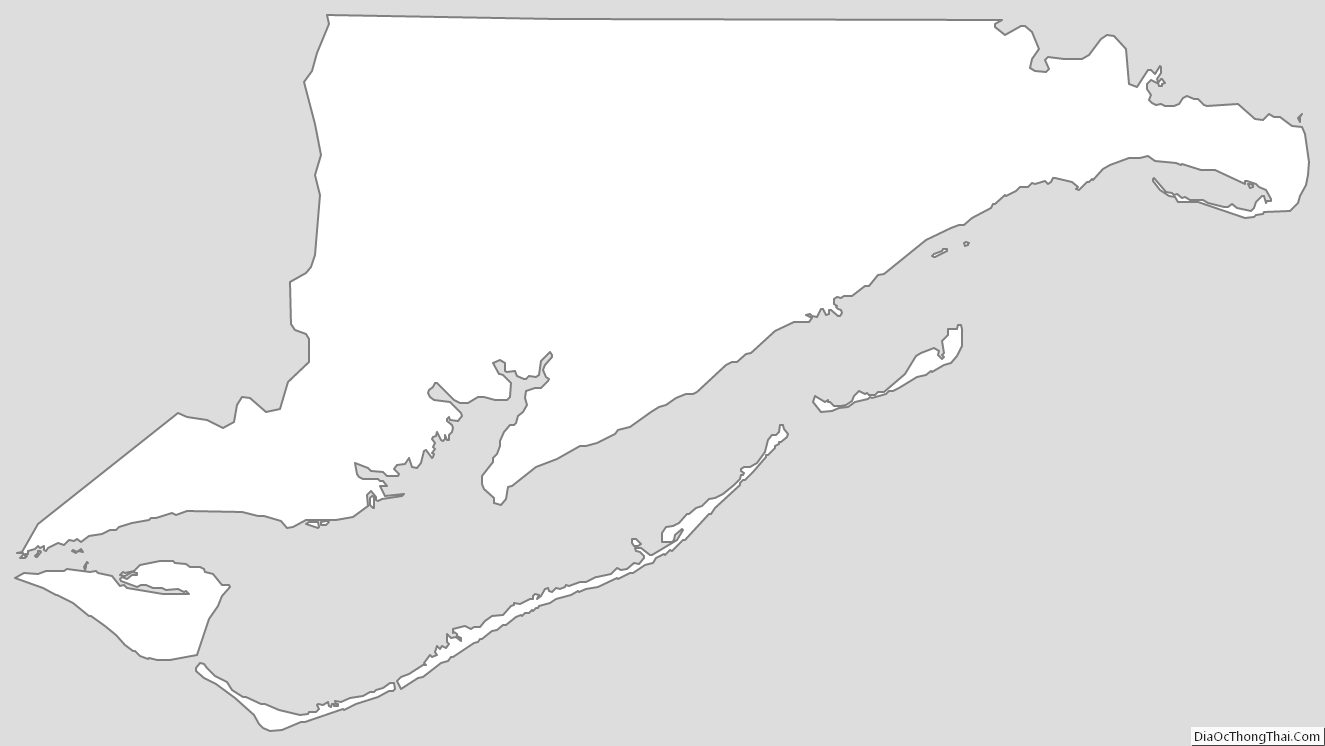
Franklin County Outline Map