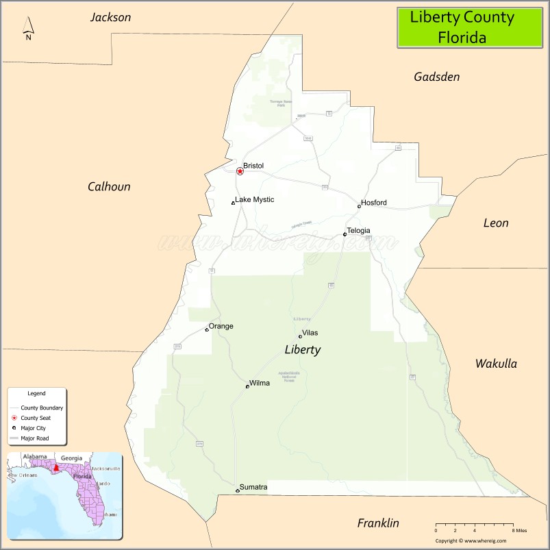
Liberty County is a county located in the state of Florida. As of the 2020 census, the population was 7,974, making it the least populous county in Florida. Its county seat is Bristol. Liberty County is one of only two dry counties in Florida (the other is Lafayette County).
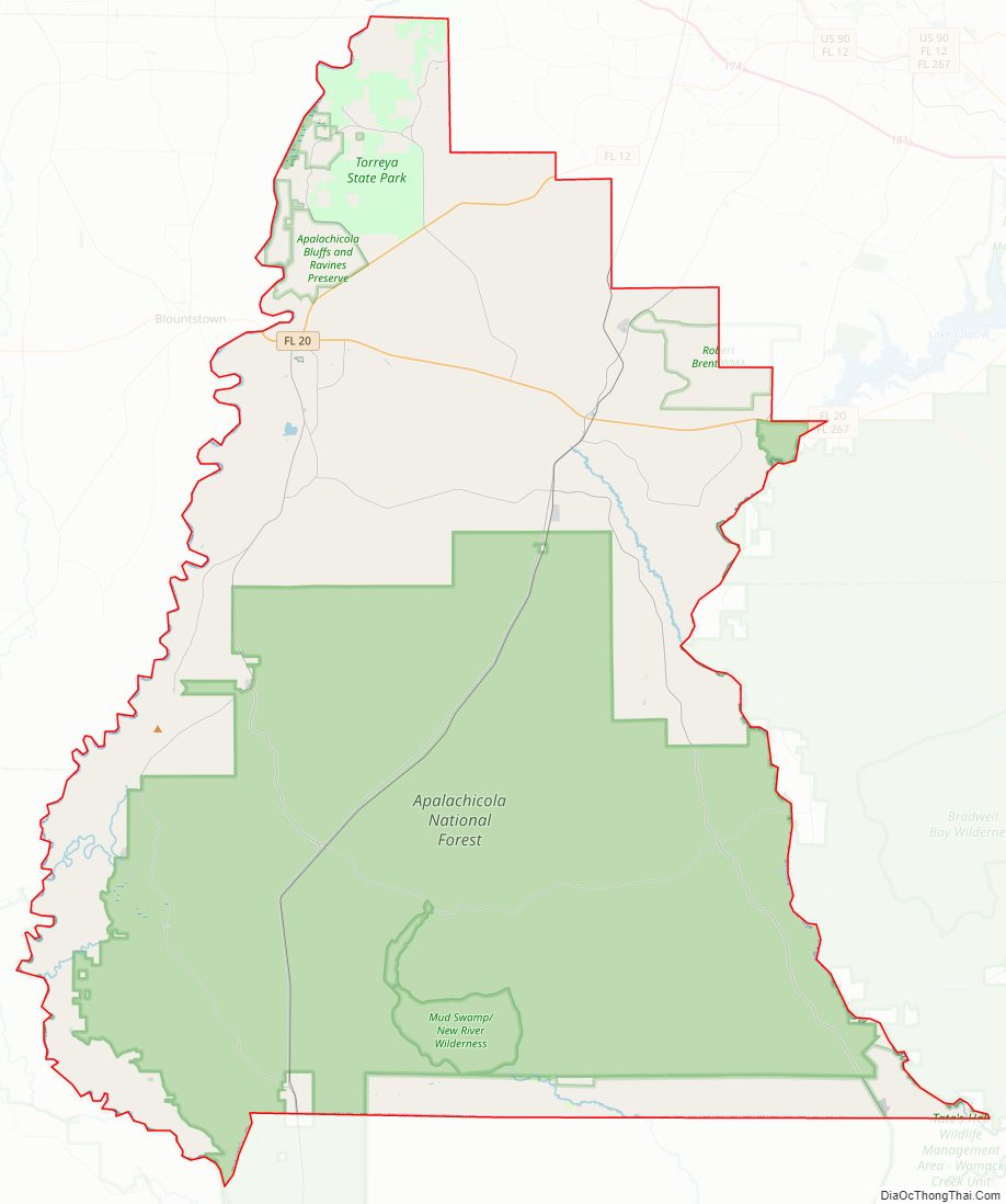
The Apalachicola National Forest occupies half the county.
| Name: | Liberty County |
|---|---|
| FIPS code: | 12-077 |
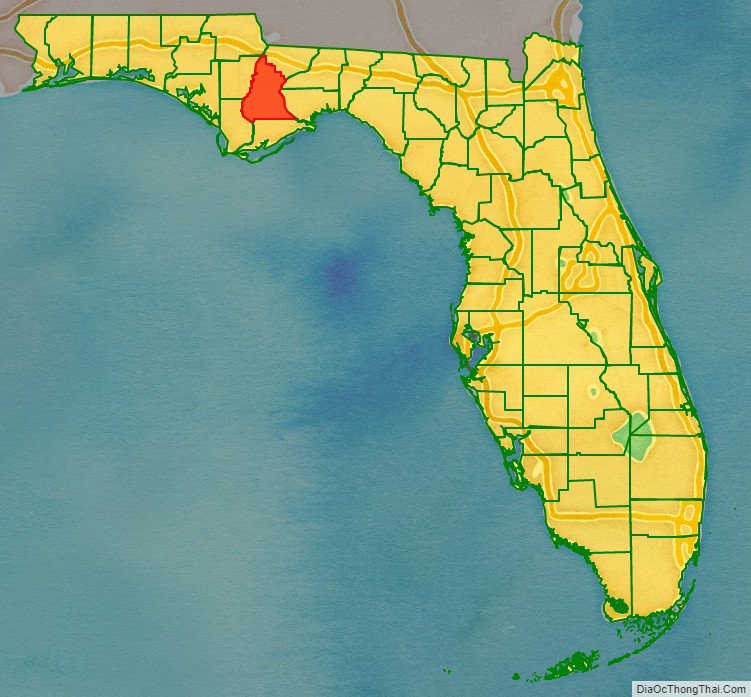
| State: | Florida |
| Founded: | December 15, 1855 |
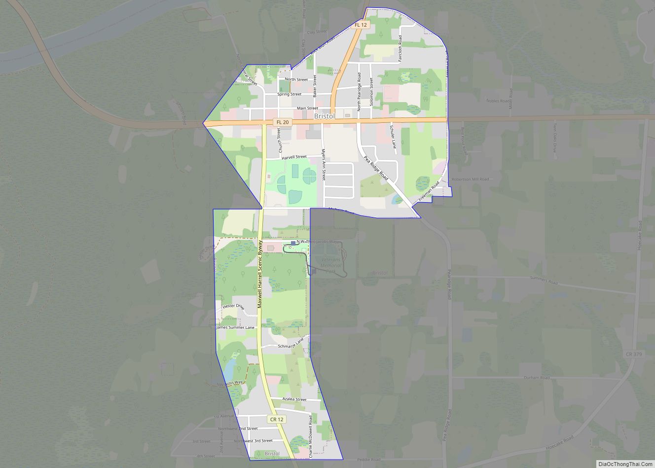
| Seat: | Bristol |
| Largest town: | Bristol |
| Total Area: | 843 sq mi (2,180 km²) |
| Land Area: | 836 sq mi (2,170 km²) |
| Total Population: | 7,974 |
| Population Density: | 10/sq mi (4/km²) |
| Time zone: | UTC−5 (Eastern) |
| Summer Time Zone (DST): | UTC−4 (EDT) |
| Website: | libertyclerk.com |
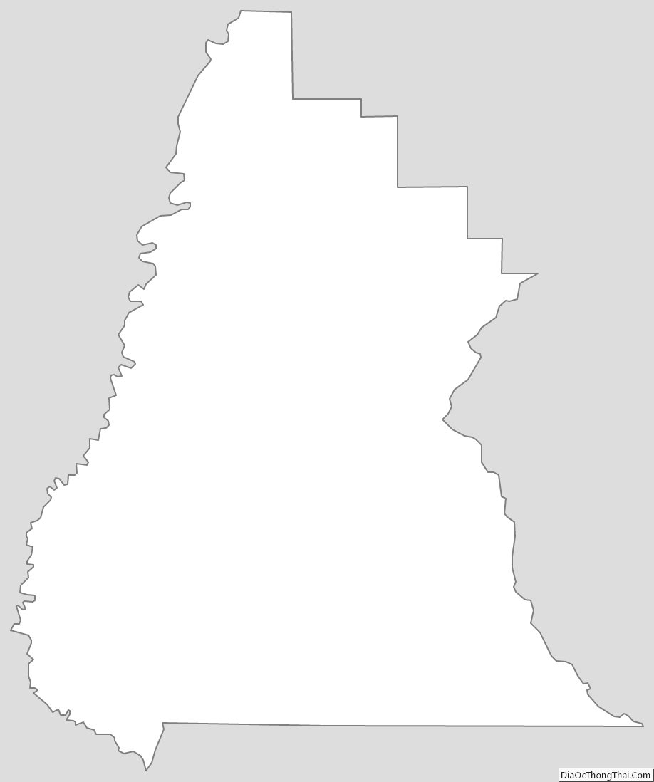
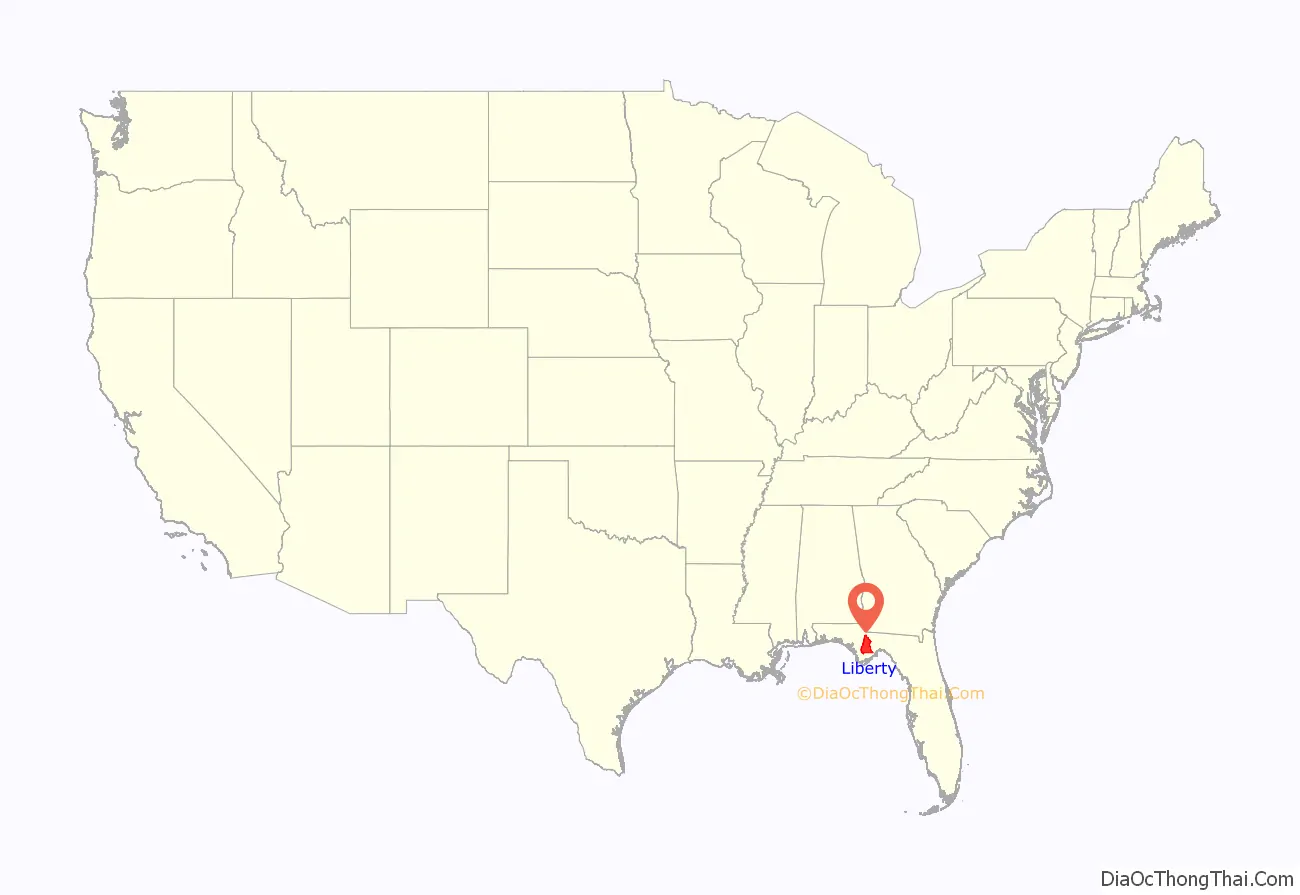
Liberty County location map. Where is Liberty County?
History
Liberty County was created in 1855 and is named after the American ideal of liberty.
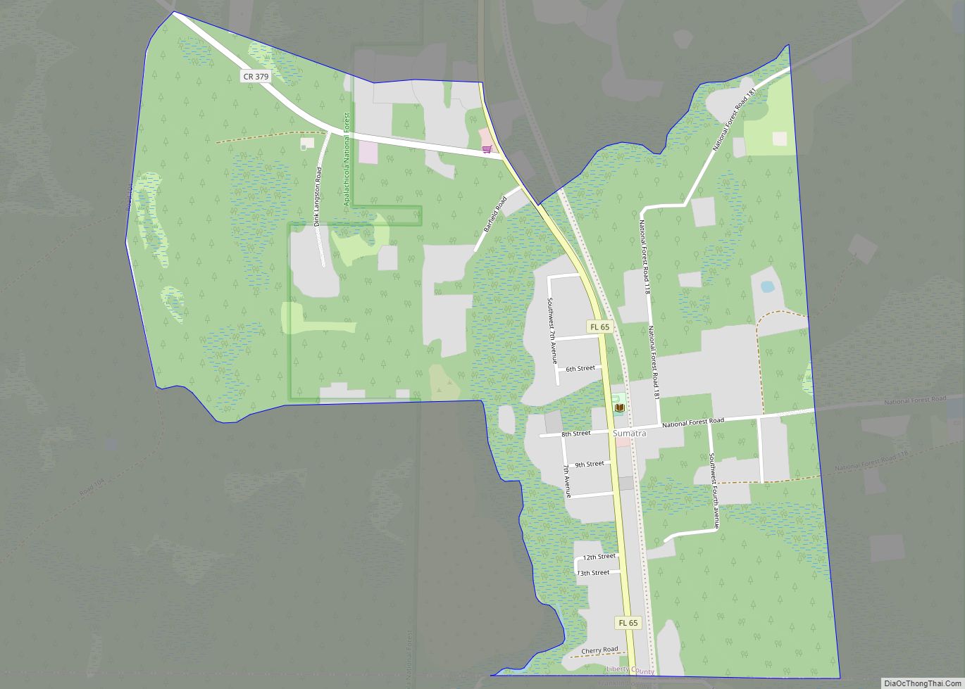
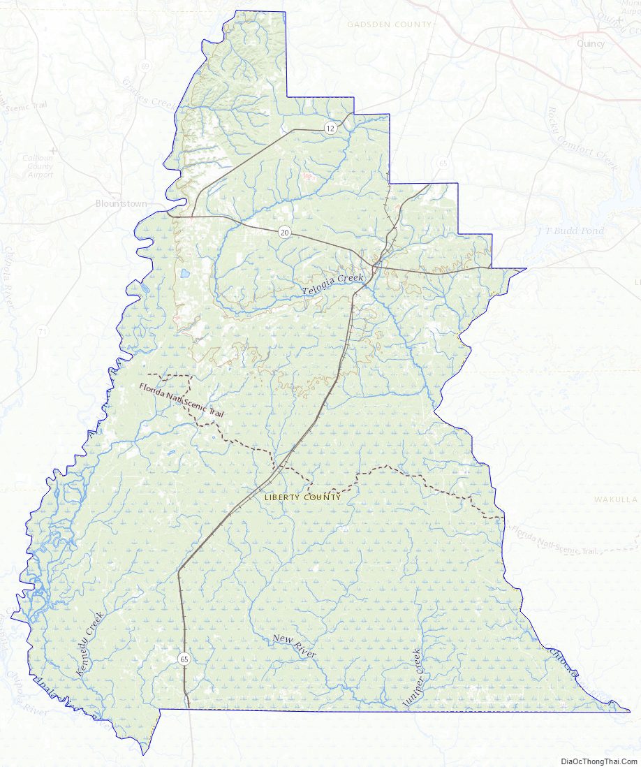
Liberty County Road Map
Geography
According to the U.S. Census Bureau, the county has a total area of 843 square miles (2,180 km), of which 836 square miles (2,170 km) is land and 7.6 square miles (20 km) (0.9%) is water. The county is bordered on the west by the Apalachicola River.
Adjacent counties
- Gadsden County – northeast
- Wakulla County – east
- Leon County – east
- Franklin County – south
- Gulf County – southwest
- Calhoun County – west
- Jackson County – northwest
National protected area
- Apalachicola National Forest (part)
Liberty County Topographic Map
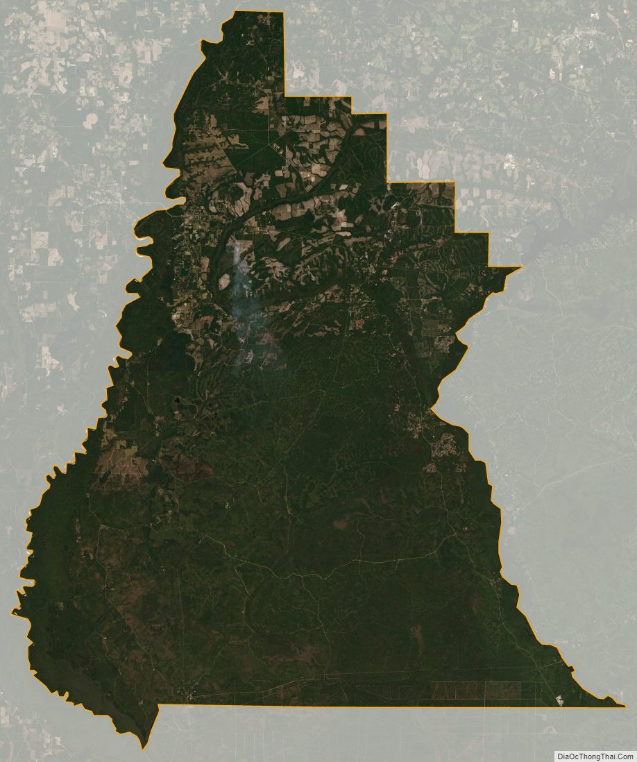
Liberty County Satellite Map
Liberty County Outline Map