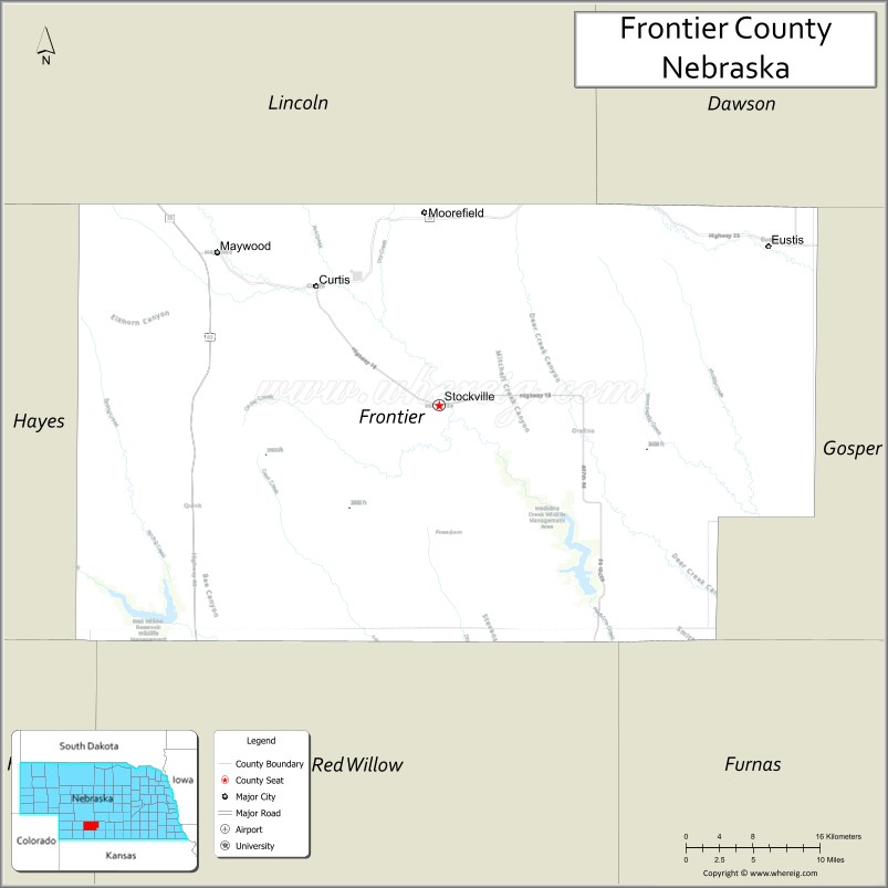
Frontier County is a county in the U.S. state of Nebraska. As of the 2010 United States Census, the population was 2,756. Its county seat is Stockville.
In the Nebraska license plate system, Frontier County is represented by the prefix 60 (it had the sixtieth-largest number of vehicles registered in the county when the license plate system was established in 1922).
| Name: | Frontier County |
|---|---|
| FIPS code: | 31-063 |
| State: | Nebraska |
| Founded: | 1872 |
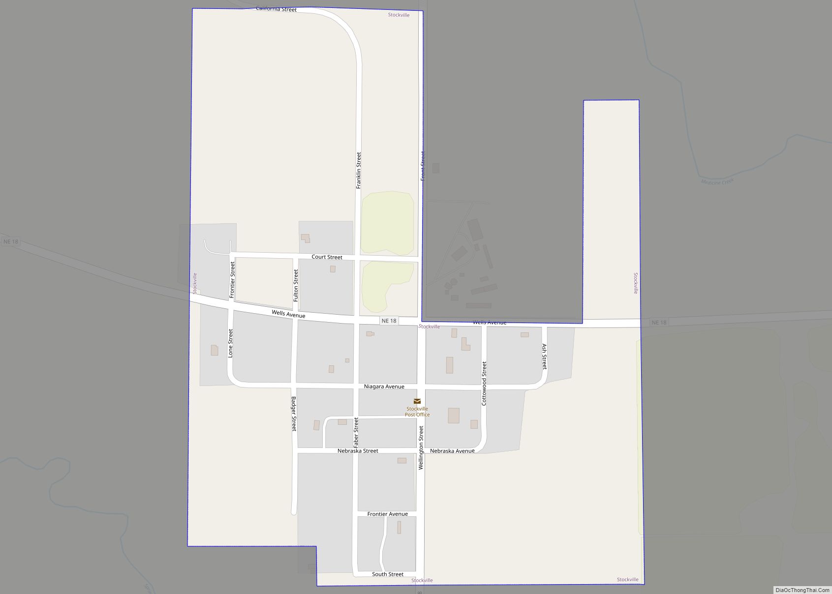
| Seat: | Stockville |
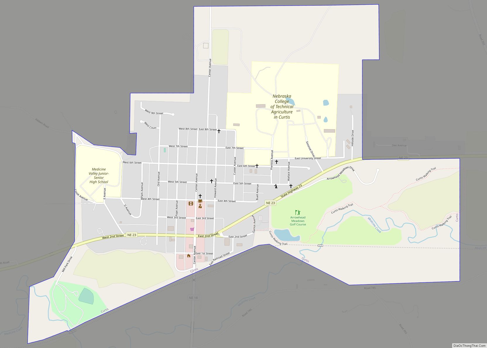
| Largest city: | Curtis |
| Total Area: | 980 sq mi (2,500 km²) |
| Land Area: | 975 sq mi (2,530 km²) |
| Total Population: | 2,555 |
| Population Density: | 2.7/sq mi (1.0/km²) |
| Time zone: | UTC−6 (Central) |
| Summer Time Zone (DST): | UTC−5 (CDT) |
| Website: | www.co.frontier.ne.us |
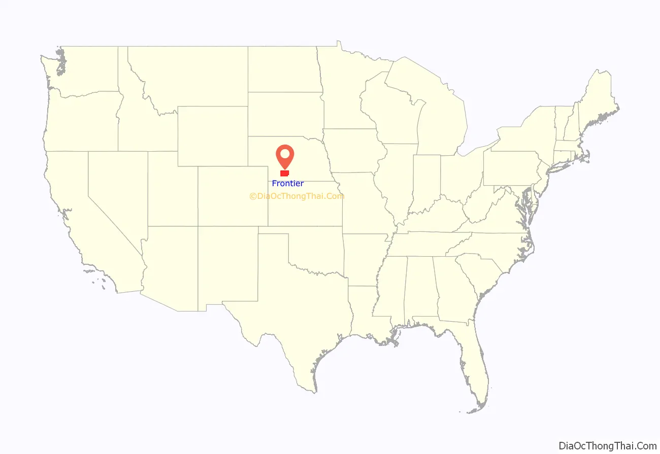
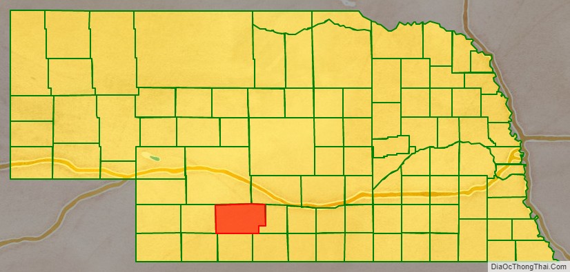
Frontier County location map. Where is Frontier County?
History
Frontier County was formed in 1872. It was named for its location along the frontier border in the late 19th century.
The courthouse was completed in 1889.
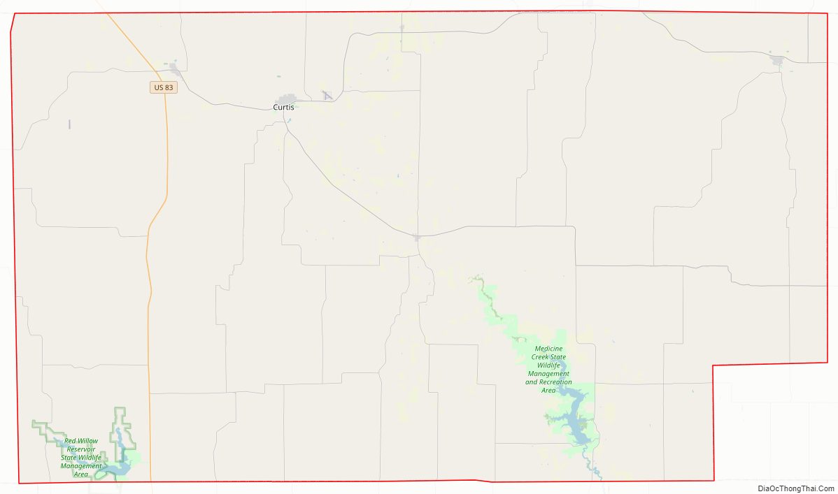
Frontier County Road Map
Geography
According to the US Census Bureau, the county has an area of 980 square miles (2,500 km), of which 975 square miles (2,530 km) is land and 5.5 square miles (14 km) (0.6%) is water.
Major highways
- U.S. Highway 83
- Nebraska Highway 18
- Nebraska Highway 21
- Nebraska Highway 23
Adjacent counties
- Gosper County – east
- Furnas County –southeast
- Red Willow County – south
- Hitchcock County – southwest
- Hayes County – west
- Lincoln County – north
- Dawson County – northeast
Protected areas
- Hugh Butler Lake / Red Willow Reservoir State Wildlife Management Area (part)
- Medicine Creek Reservoir State Recreation Area
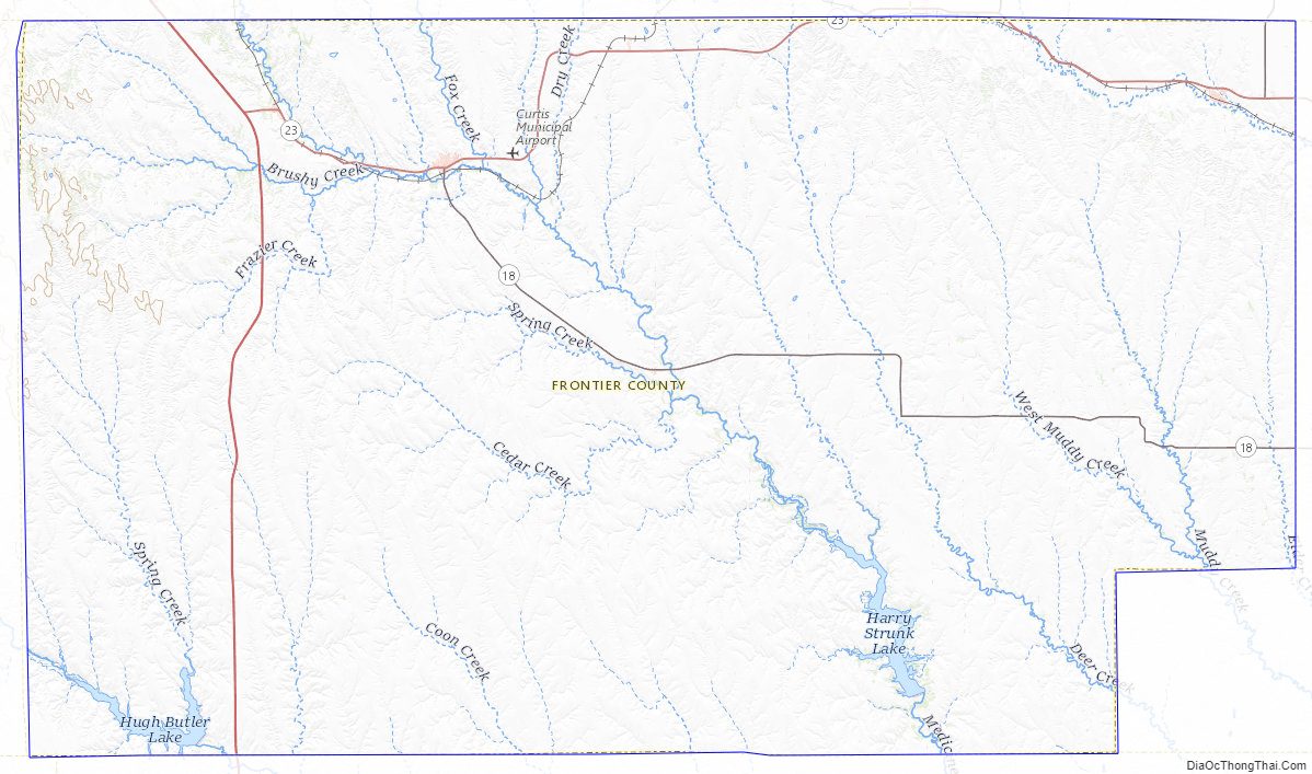
Frontier County Topographic Map
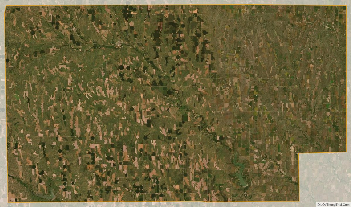
Frontier County Satellite Map
Frontier County Outline Map