Hitchcock County is a county in the U.S. state of Nebraska. As of the 2020 United States Census, the population was 2,616. Its county seat is Trenton.
In the Nebraska license plate system, Hitchcock County is represented by the prefix 67 (it had the sixty-seventh-largest number of vehicles registered in the county when the license plate system was established in 1922).
| Name: | Hitchcock County |
|---|---|
| FIPS code: | 31-087 |
| State: | Nebraska |
| Founded: | 1873 |
| Named for: | Phineas Hitchcock |
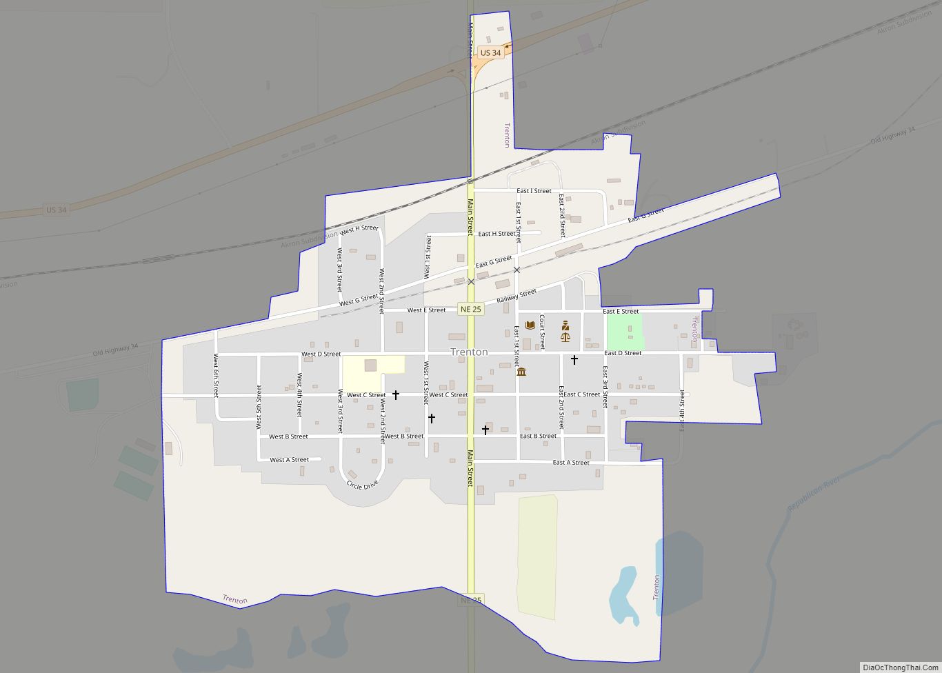
| Seat: | Trenton |
| Total Area: | 718 sq mi (1,860 km²) |
| Land Area: | 710 sq mi (1,800 km²) |
| Total Population: | 2,616 |
| Population Density: | 4.0/sq mi (1.5/km²) |
| Time zone: | UTC−6 (Central) |
| Summer Time Zone (DST): | UTC−5 (CDT) |
| Website: | www.hitchcockcounty.ne.gov |
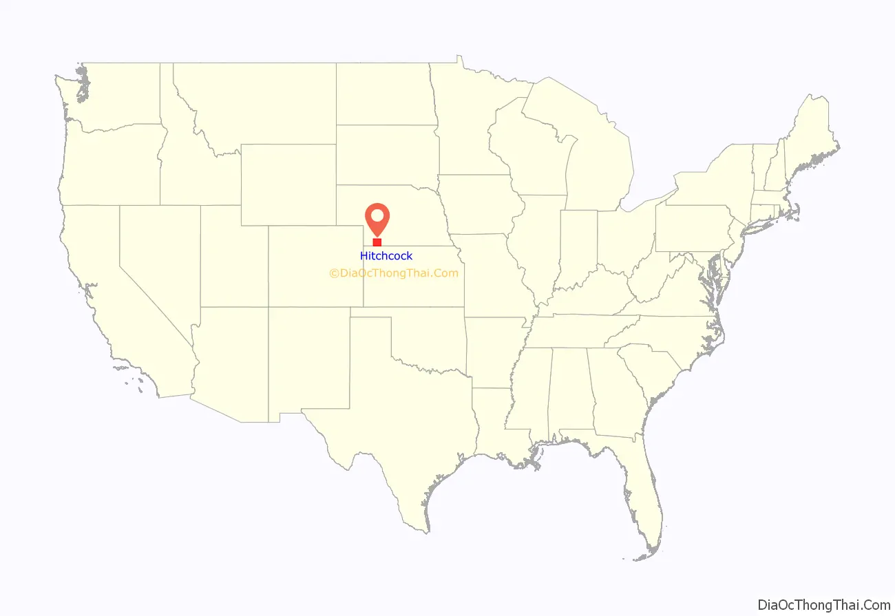
Hitchcock County location map. Where is Hitchcock County?
History
Hitchcock County was formed in 1873. It was named for US Senator Phineas Warren Hitchcock.
The Massacre Canyon battle between Sioux and Pawnee took place on August 5, 1873, at a spot three miles east of Trenton.
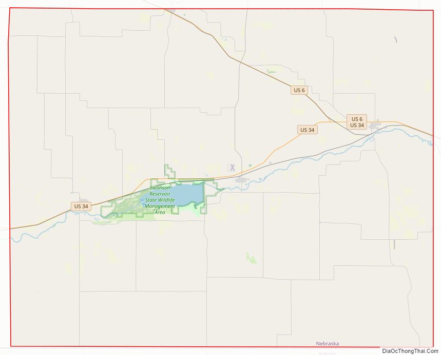
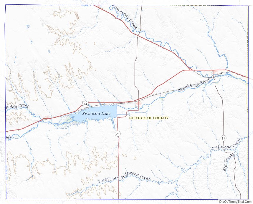
Hitchcock County Road Map
Geography
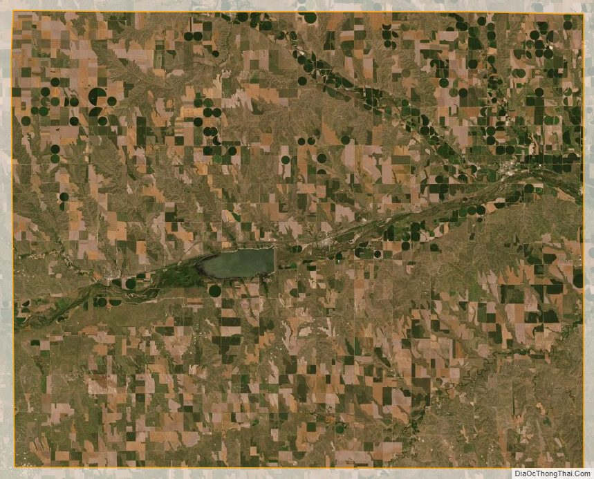
The terrain of Hitchcock County consists of rolling low hills. The flattened hilltops are used for agriculture; mostly dry farming with some center pivot irrigation. The Republican River flows eastward through the central part of the county. The county has a total area of 718 square miles (1,860 km), of which 710 square miles (1,800 km) is land and 8.5 square miles (22 km) (1.2%) is water.
The eastern two-thirds of the state of Nebraska observes Central Time; the western portion of the state observes Mountain Time. Hitchcock County is the westernmost county to observe Central Time.
Lakes
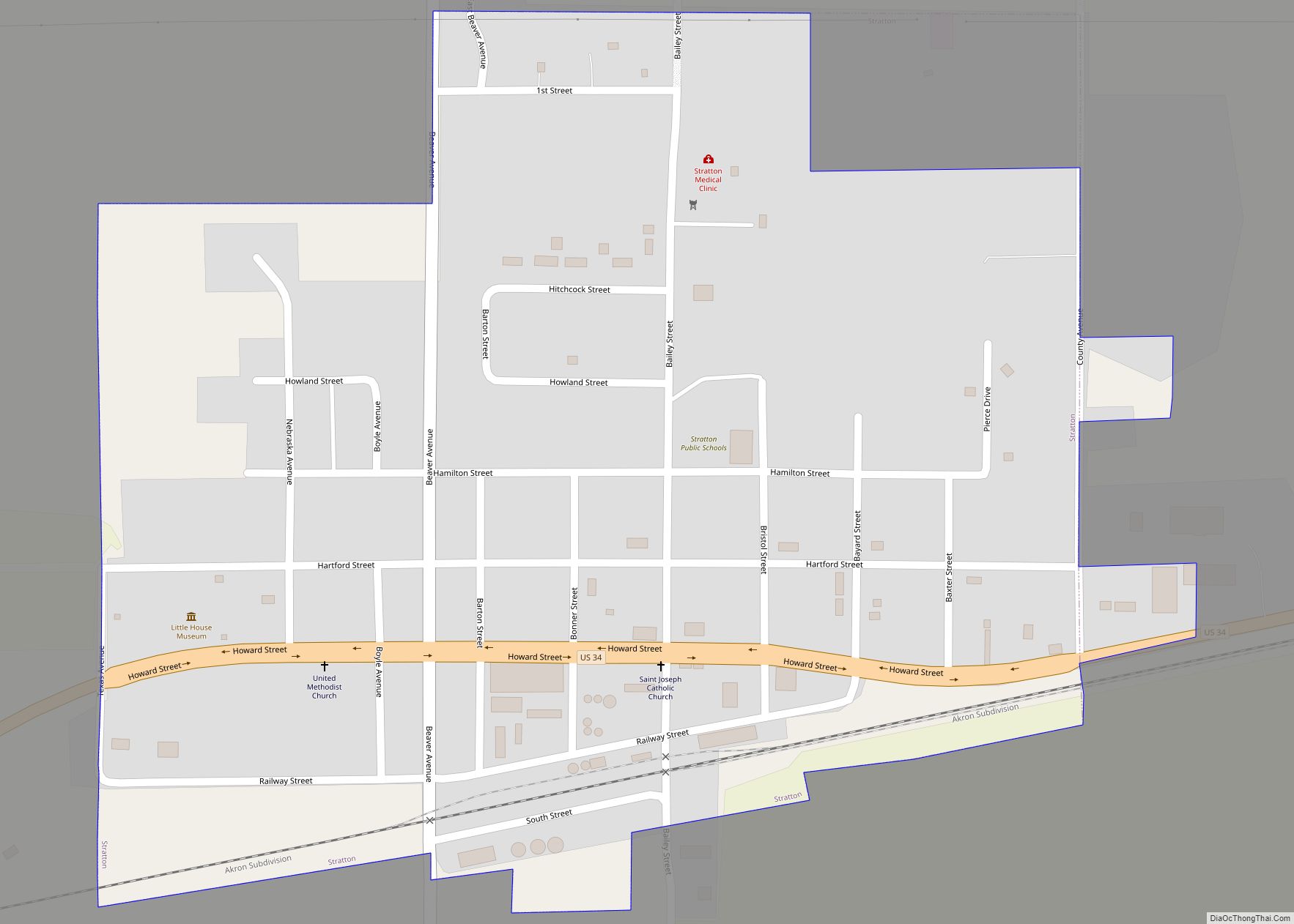
- Swanson Lake: formed by a dam on the Republican River, between Stratton and Trenton.
Major highways
- U.S. Highway 6
- U.S. Highway 34
- Nebraska Highway 17
- Nebraska Highway 25
- Nebraska Highway 25A
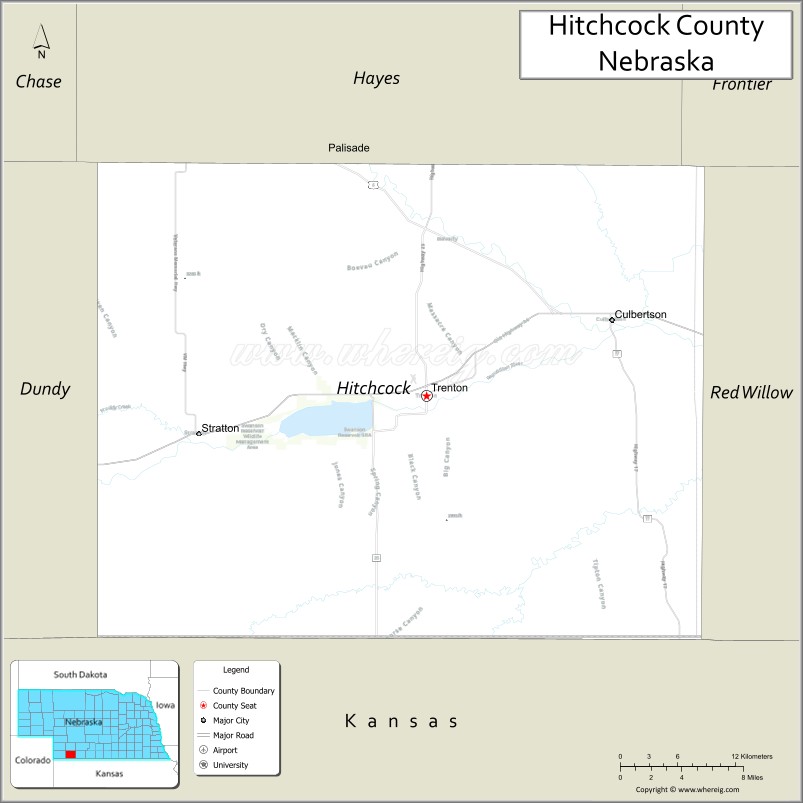
Adjacent counties
- Red Willow County – east
- Rawlins County, Kansas – south
- Dundy County – west (Mountain Time border)
- Hayes County – north
- Frontier County –northeast
Hitchcock County Topographic Map
Hitchcock County Satellite Map
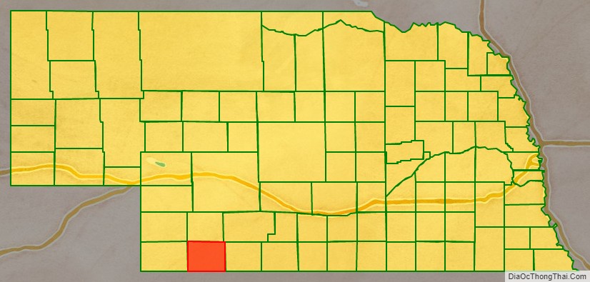
Hitchcock County Outline Map