Hayes County is a county in the U.S. state of Nebraska. As of the 2010 United States Census, the population was 967. Its county seat is Hayes Center. The county was created in 1877, and was organized in 1884. It was named for Rutherford B. Hayes, the US President at the time of the county’s creation.
In the Nebraska license plate system, Hayes County is represented by the prefix 79 (it had the seventy-ninth-largest number of vehicles registered in the county when the license plate system was established in 1922).
| Name: | Hayes County |
|---|---|
| FIPS code: | 31-085 |
| State: | Nebraska |
| Founded: | 1877 |
| Named for: | Rutherford B. Hayes |
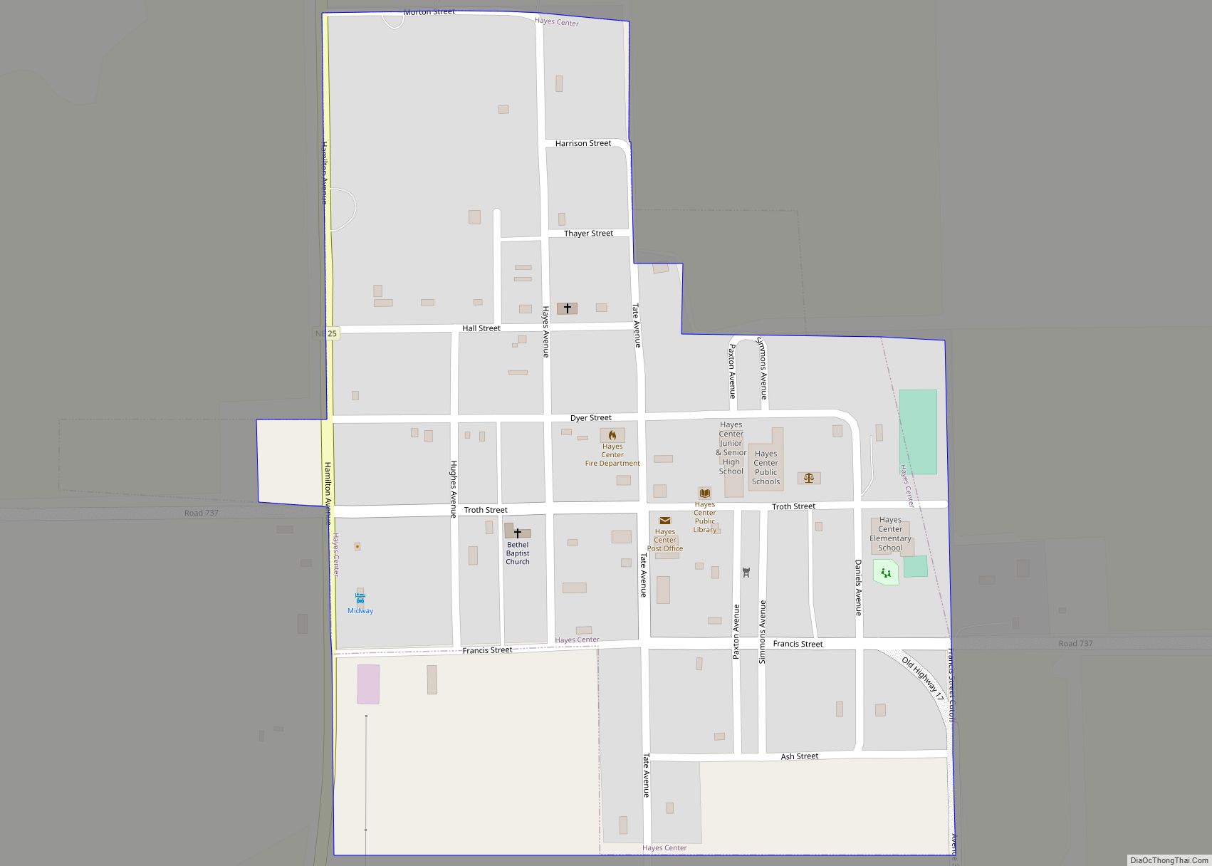
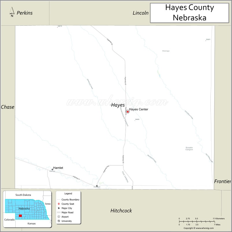
| Seat: | Hayes Center |
| Total Area: | 713 sq mi (1,850 km²) |
| Land Area: | 713 sq mi (1,850 km²) |
| Total Population: | 843 |
| Population Density: | 1.25/sq mi (0.48/km²) |
| Time zone: | UTC−6 (Central) |
| Summer Time Zone (DST): | UTC−5 (CDT) |
| Website: | www.hayescounty.ne.gov |
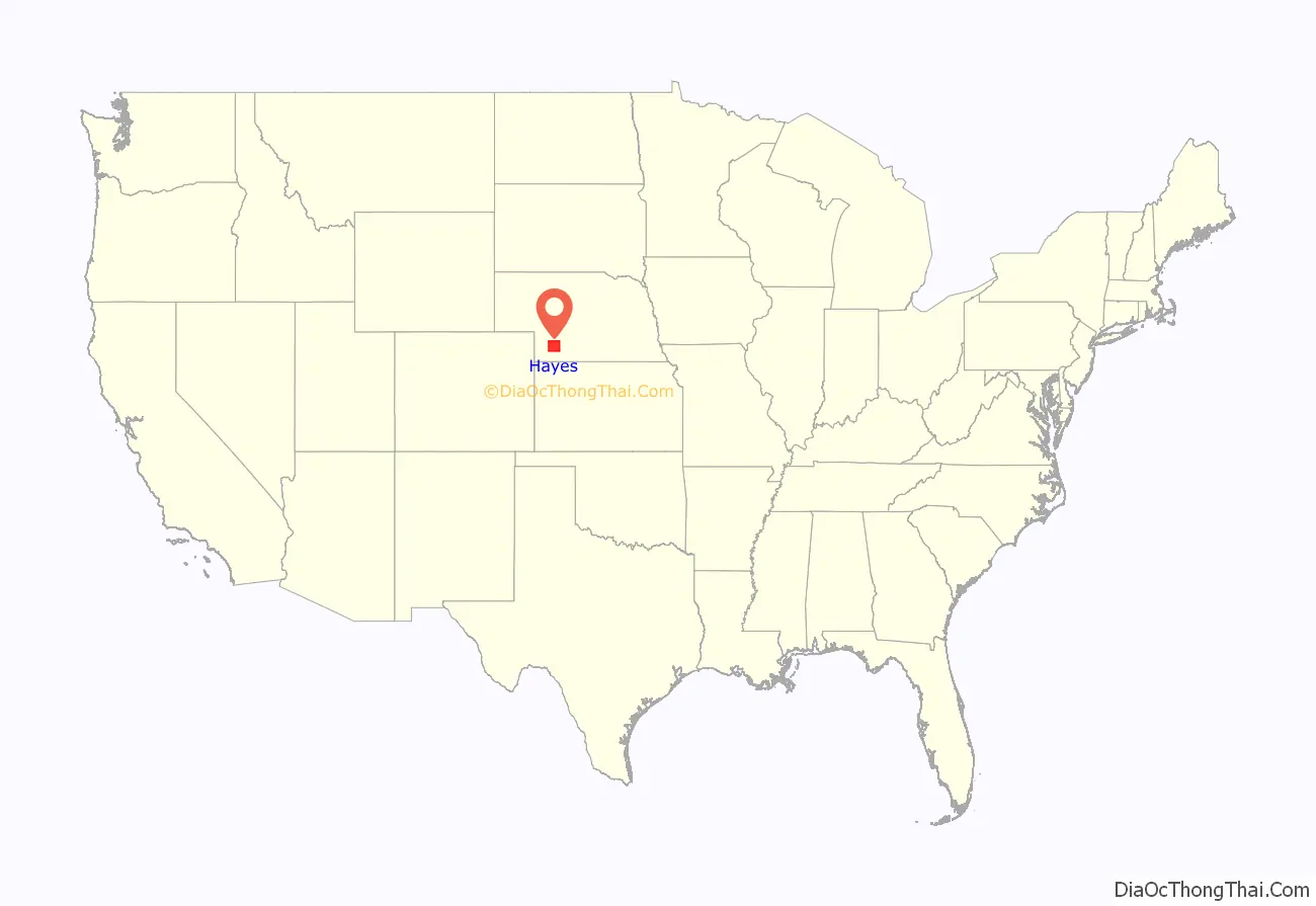
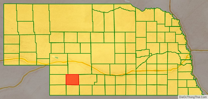
Hayes County location map. Where is Hayes County?
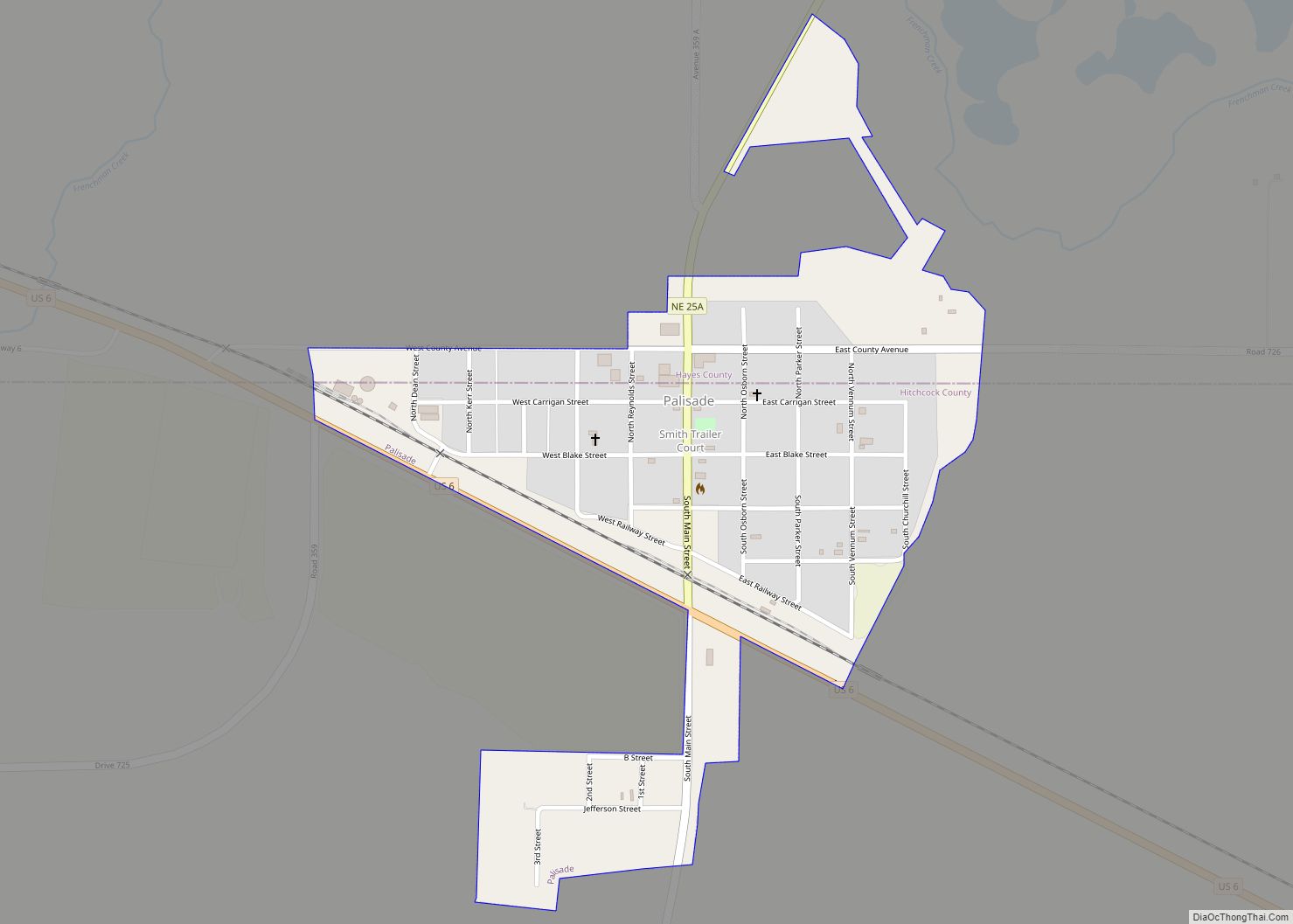
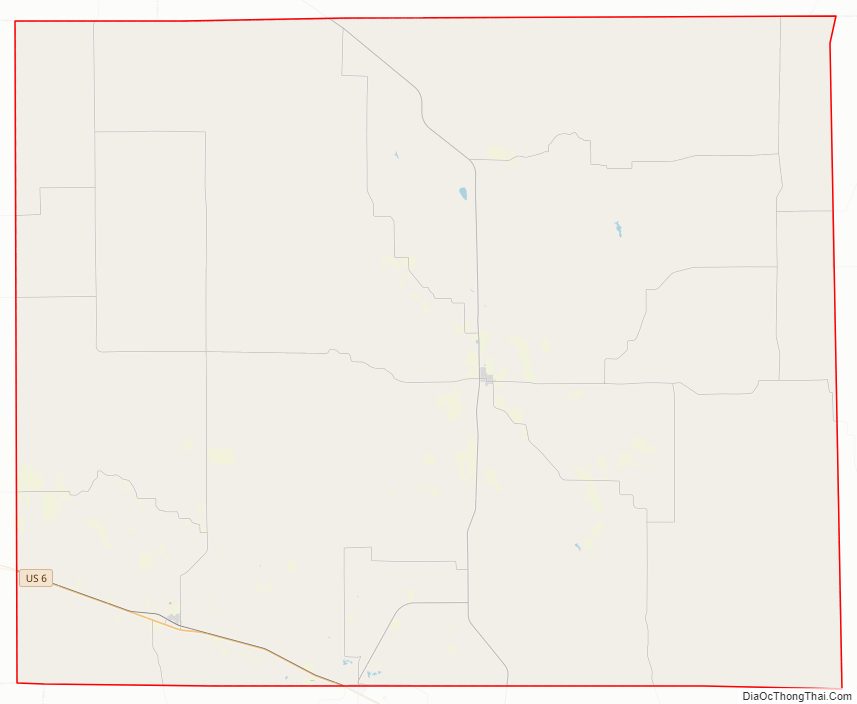
Hayes County Road Map
Geography
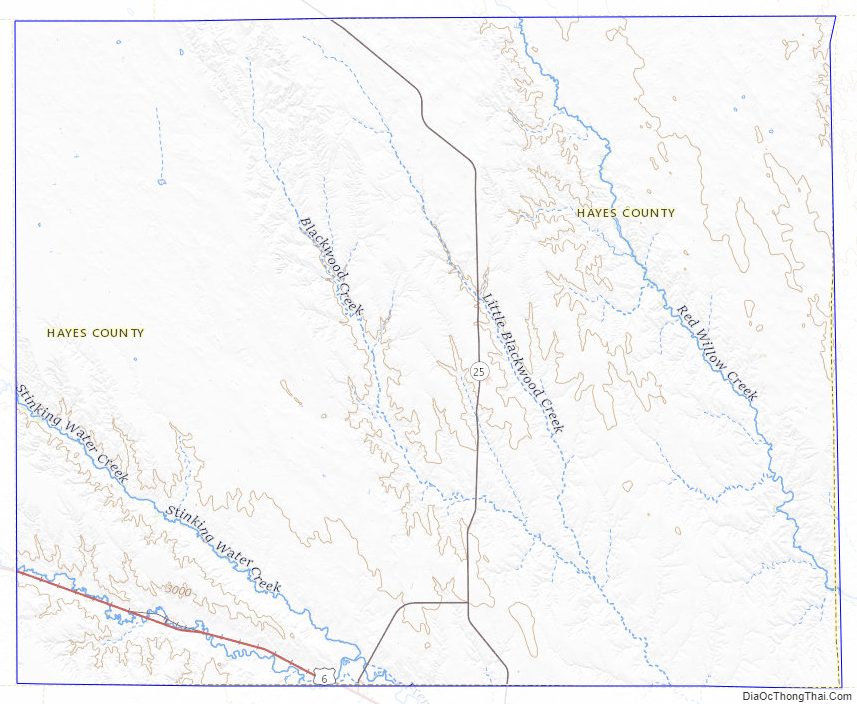
The terrain of Hayes County is hilly. The flattened hilltops are largely used for center pivot irrigation. Small creeks and streams drain the upper elevations; the largest is Red Willow Creek, which drains to Hugh Butler Lake just east of the SE corner of Hayes County, in Frontier County. The county has a total area of 713 square miles (1,850 km), of which 713 square miles (1,850 km) is land and 0.2 square miles (0.52 km) (0.03%) is water.
Major highways
- U.S. Highway 6
- Nebraska Highway 25
- Nebraska Highway 25A
Adjacent counties
- Frontier County – east
- Hitchcock County – south
- Dundy County – southwest
- Chase County – west
- Perkins County – northwest
- Lincoln County – north
Hayes County Topographic Map
Hayes County Satellite Map
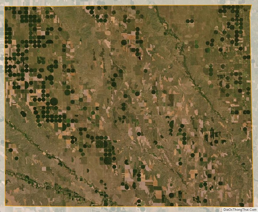
Hayes County Outline Map