Gosper County is a county located in the U.S. state of Nebraska. As of the 2020 United States census, the population was 1,893. Its county seat is Elwood. The county was formed in 1873, and was organized in 1881. It was named for John J. Gosper, a Nebraska Secretary of State.
Gosper County is part of the Lexington, NE Micropolitan Statistical Area.
In the Nebraska license plate system, Gosper County is represented by the prefix 73 (it had the seventy-third-largest number of vehicles registered in the county when the license plate system was established in 1922).
| Name: | Gosper County |
|---|---|
| FIPS code: | 31-073 |
| State: | Nebraska |
| Founded: | 1873 |
| Named for: | John J. Gosper |
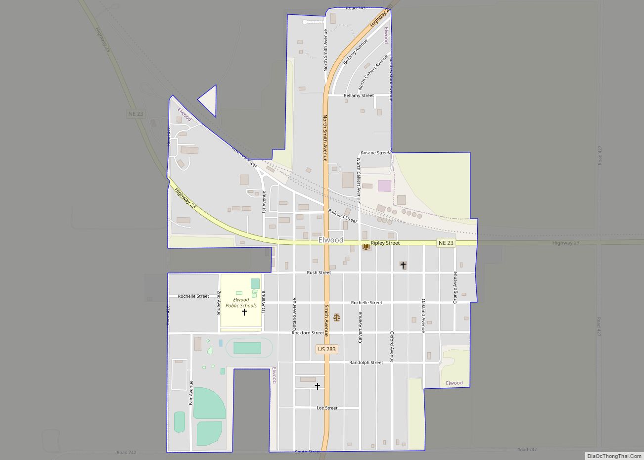
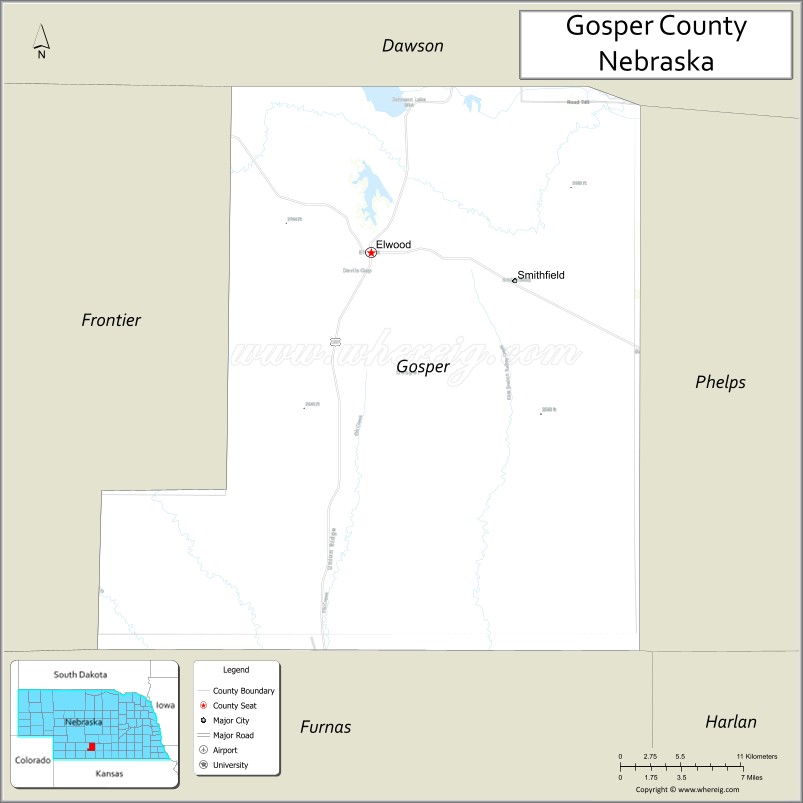
| Seat: | Elwood |
| Total Area: | 462.73 sq mi (1,198.5 km²) |
| Land Area: | 458.16 sq mi (1,186.6 km²) |
| Total Population: | 1,893 |
| Population Density: | 4.13/sq mi (1.59/km²) |
| Time zone: | UTC−6 (Central) |
| Summer Time Zone (DST): | UTC−5 (CDT) |
| Website: | www.co.gosper.ne.us |
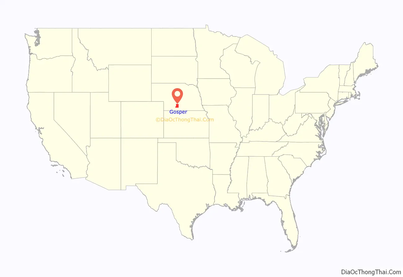
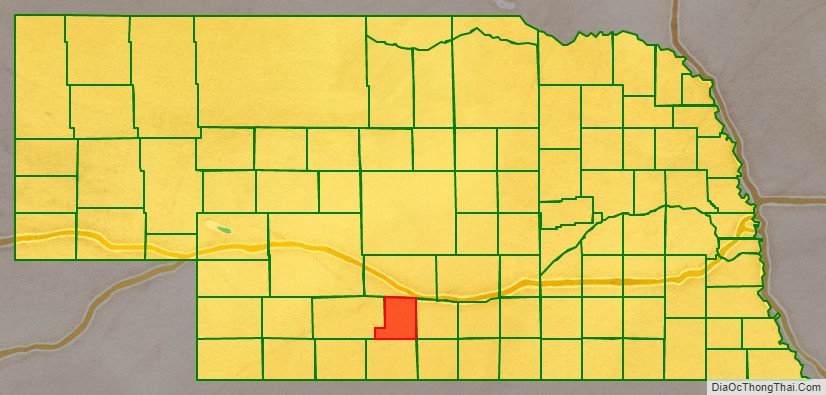
Gosper County location map. Where is Gosper County?
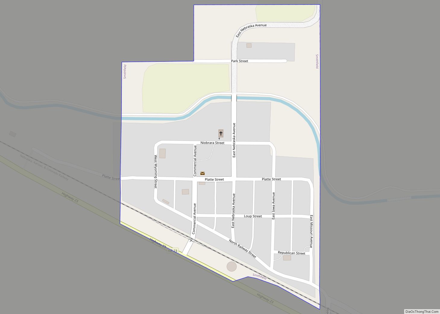
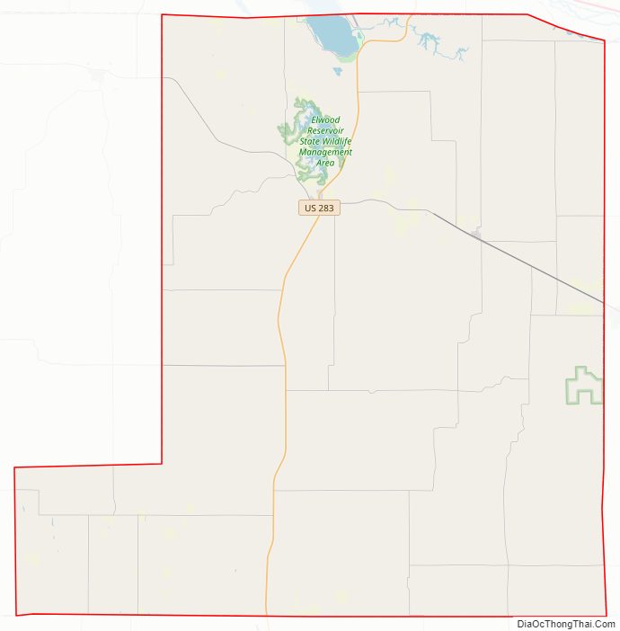
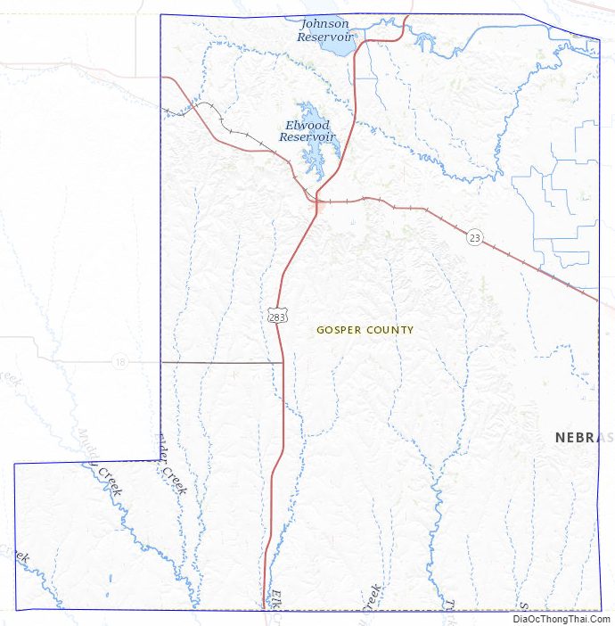
Gosper County Road Map
Geography
The Platte River flows easterly through the top part of Gosper County.
According to the US Census Bureau, the county has a total area of 463 square miles (1,200 km), of which 458 square miles (1,190 km) is land and 4.6 square miles (12 km) (1.0%) is water.
Major highways
- U.S. Highway 283
- Nebraska Highway 18
- Nebraska Highway 23
Adjacent counties
- Phelps County (east)
- Furnas County (south)
- Frontier County (west)
- Dawson County (north)
Protected areas
- Gosper National Wildlife Management Area
- Johnson Lake State Recreation Area
- Phillips Lake State Recreation Area
Gosper County Topographic Map
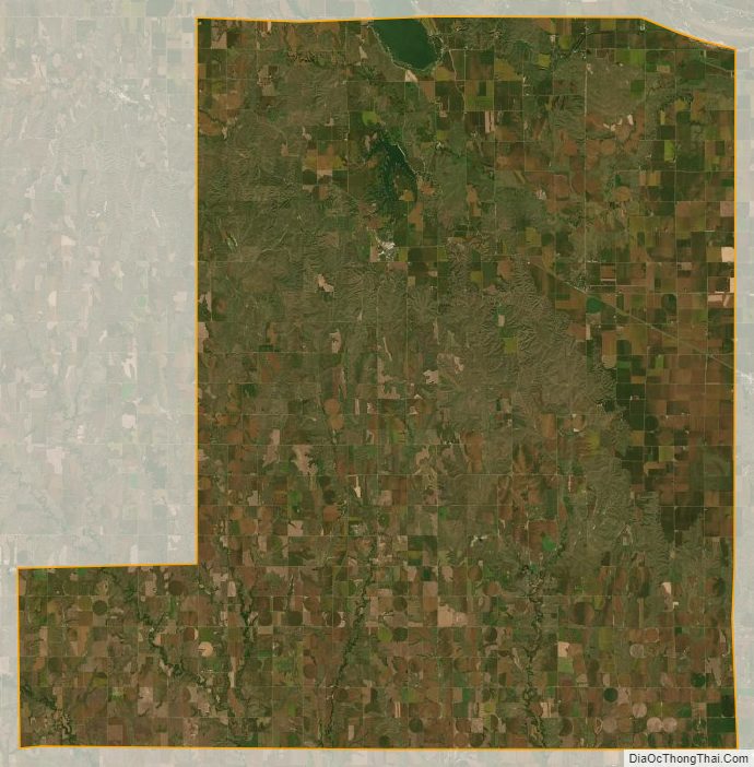
Gosper County Satellite Map
Gosper County Outline Map