Grant County is a county in the U.S. state of Nebraska. As of the 2010 United States Census, the population was 614, making it the fourth-least populous county in Nebraska and the ninth-least populous county in the United States. Its county seat is Hyannis. The county was founded in 1887 and named for Ulysses S. Grant, 18th President of the United States.
In the Nebraska license plate system, Grant County is represented by the prefix 92 (it had the ninety-second-largest number of vehicles registered in the county when the license plate system was established in 1922).
| Name: | Grant County |
|---|---|
| FIPS code: | 31-075 |
| State: | Nebraska |
| Founded: | 31 March 1887 |
| Named for: | Ulysses S. Grant |
| Seat: | Hyannis |
| Total Area: | 783 sq mi (2,030 km²) |
| Land Area: | 776 sq mi (2,010 km²) |
| Total Population: | 611 |
| Population Density: | 0.8/sq mi (0.3/km²) |
| Time zone: | UTC−7 (Mountain) |
| Summer Time Zone (DST): | UTC−6 (MDT) |
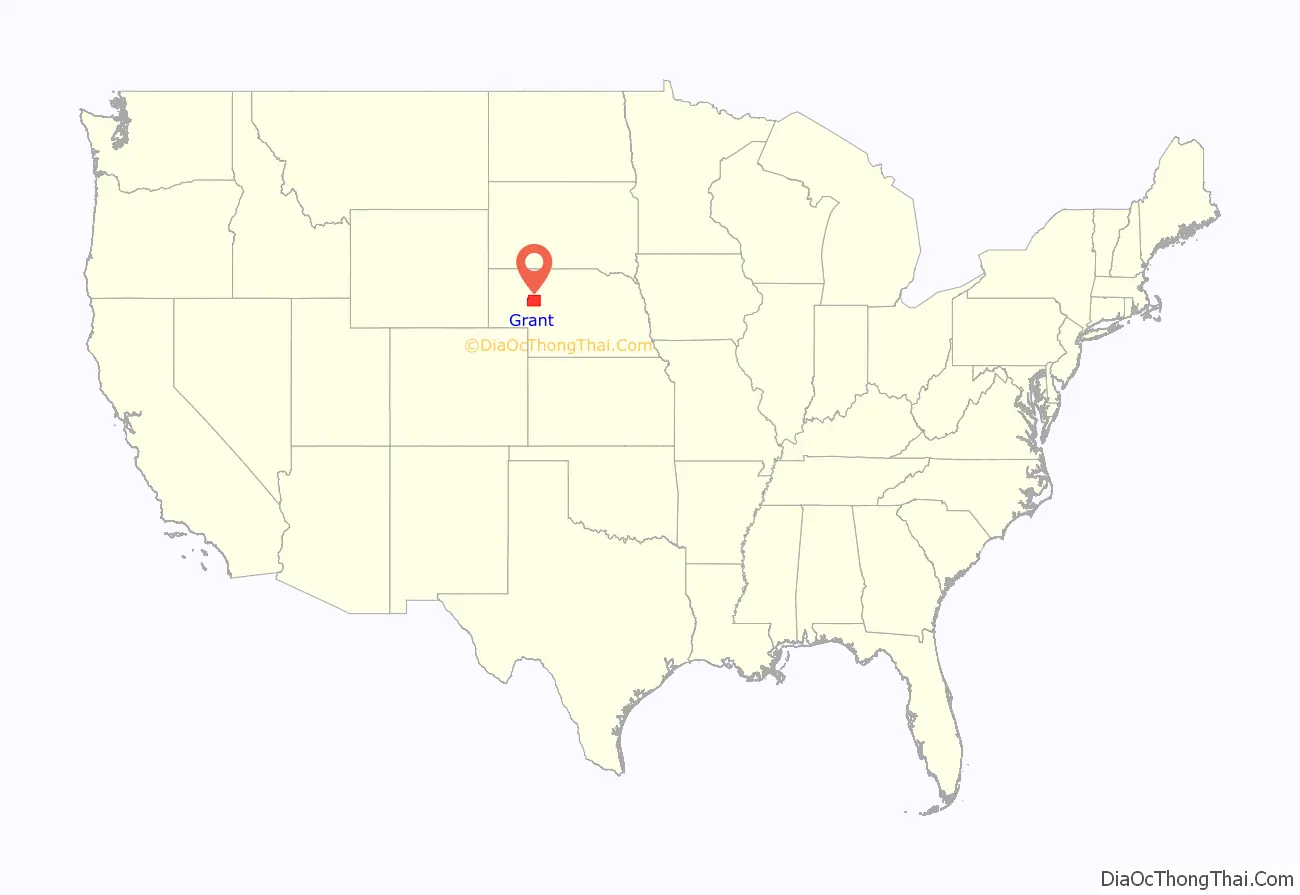
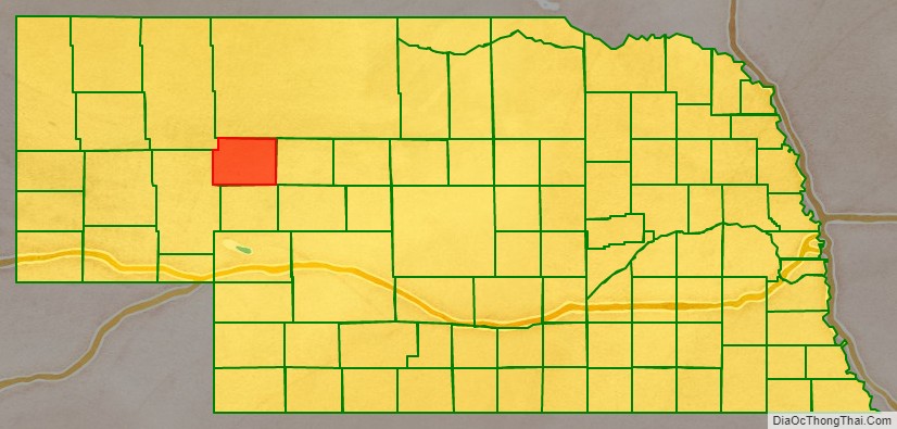
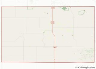
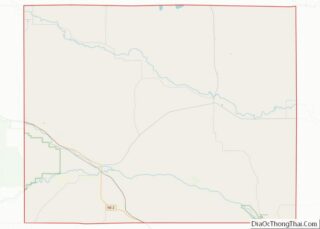
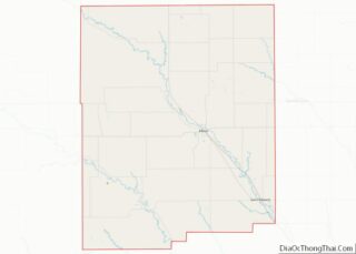
Grant County location map. Where is Grant County?
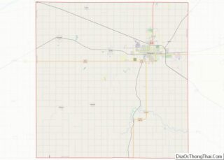
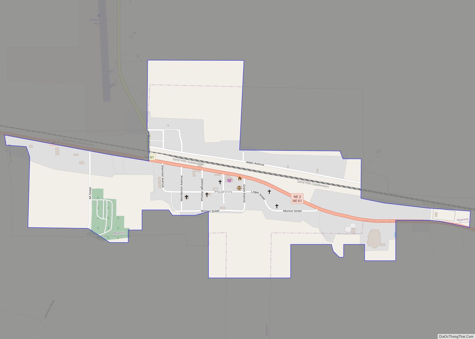
Grant County Road Map
Geography
Grant County terrain is characterized by continuous waves of east–west oriented rolling hillocks on otherwise flat areas. As a result, the county is dotted with small lakes and reservoirs.
According to the US Census Bureau, the county has a total area of 783 square miles (2,030 km), of which 776 square miles (2,010 km) is land and 7.0 square miles (18 km) (0.9%) is water.
Major highways
- Nebraska Highway 2
- Nebraska Highway 61
Adjacent counties
- Cherry County (north)
- Hooker County (east)
- Arthur County (south)
- Garden County (west)
- Sheridan County (northwest)
