| Name: | Cherry County |
|---|---|
| FIPS code: | 31-031 |
| State: | Nebraska |
| Founded: | 1883 |
| Named for: | Samuel A. Cherry |
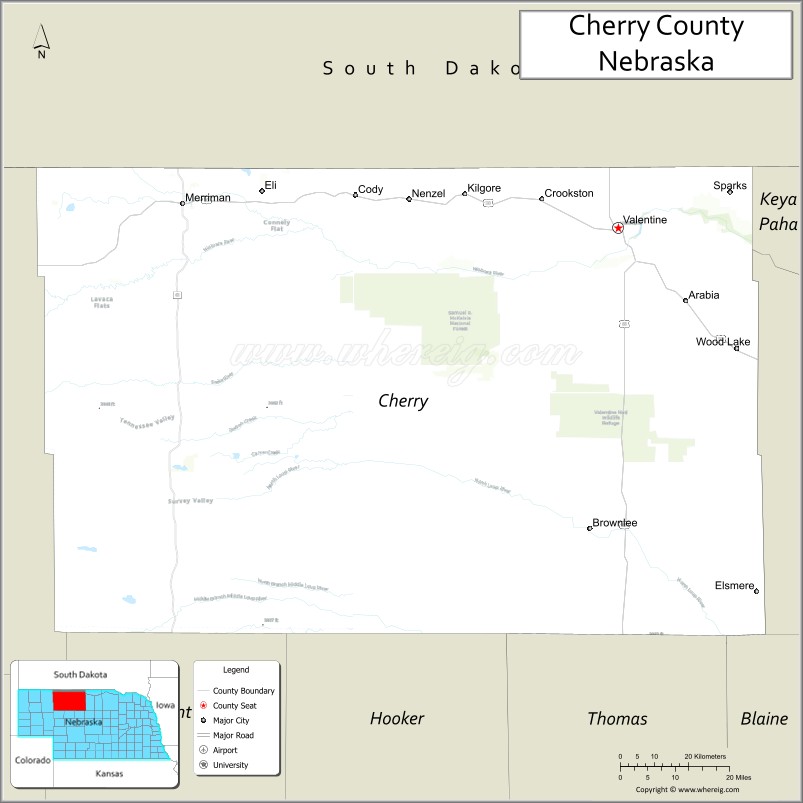
| Seat: | Valentine |
| Largest city: | Valentine |
| Total Area: | 6,009 sq mi (15,560 km²) |
| Land Area: | 5,960 sq mi (15,400 km²) |
| Total Population: | 5,458 |
| Population Density: | 0.98/sq mi (0.38/km²) |
| Website: | www.co.cherry.ne.us |
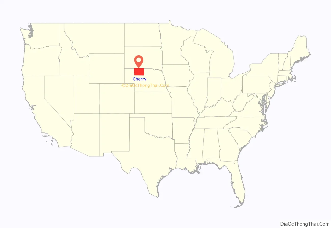
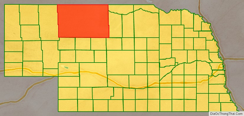
Cherry County location map. Where is Cherry County?
Cherry County Road Map
Geography
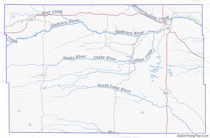
Cherry County lies on the north side of Nebraska. Its north boundary line abuts the south boundary line of the state of South Dakota. According to the US Census Bureau, the county has an area of 6,009 square miles (15,560 km), of which 5,960 square miles (15,400 km) is land and 49 square miles (130 km) (0.8%) is water. It is by far Nebraska’s largest county in land area and larger than the state of Connecticut, or the states of Delaware and Rhode Island combined. The county is in Nebraska’s Sandhills region; the dunes that give the region its name are a result of the most recent glacial period, the Pinedale glaciation. During the Holocene glacial retreat the sand dunes, which had been deposited in their current location by the vast continental glaciers, were exposed and grasses eventually took over.
Major highways
- U.S. Highway 20
- U.S. Highway 83
- Nebraska Highway 12
- Nebraska Highway 61
- Nebraska Highway 97
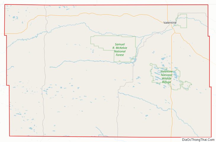
National protected areas
- Fort Niobrara National Wildlife Refuge
- Fort Niobrara Wilderness
- Niobrara National Scenic River (part)
- Samuel R. McKelvie National Forest
- Valentine National Wildlife Refuge
State protected areas
- Bowring Ranch State Historical Park
- Cottonwood Lake State Recreation Area
- Merritt Reservoir State Recreation Area
- Smith Falls State Park
Adjacent counties
Owing to its size as Nebraska’s largest county by area, Cherry County borders 11 counties, more than any other county in Nebraska. Seven of them are in Nebraska and four are in South Dakota. The adjacent counties are:
- Bennett County, South Dakota – north
- Todd County, South Dakota – north
- Tripp County, South Dakota – northeast
- Brown County – east
- Keya Paha County – east
- Blaine County – southeast
- Grant County – south
- Thomas County – south
- Hooker County – south
- Sheridan County – west
- Oglala Lakota County, South Dakota – northwest
Cherry County Topographic Map
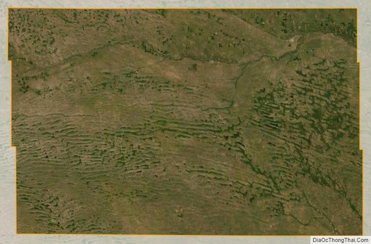
Cherry County Satellite Map
Cherry County Outline Map