Guernsey County is a county located in the U.S. state of Ohio. As of the 2020 census, the population was 38,438. Its county seat and largest city is Cambridge. It is named for the Isle of Guernsey in the English Channel, from which many of the county’s early settlers emigrated.
Guernsey County comprises the Cambridge, OH Micropolitan Statistical Area, which is also included in the Columbus-Marion-Zanesville, OH Combined Statistical Area.
| Name: | Guernsey County |
|---|---|
| FIPS code: | 39-059 |
| State: | Ohio |
| Founded: | January 31, 1810 |
| Named for: | Isle of Guernsey |
| Seat: | Cambridge |
| Largest city: | Cambridge |
| Total Area: | 528 sq mi (1,370 km²) |
| Land Area: | 522 sq mi (1,350 km²) |
| Total Population: | 38,438 |
| Population Density: | 73/sq mi (28/km²) |
| Time zone: | UTC−5 (Eastern) |
| Summer Time Zone (DST): | UTC−4 (EDT) |
| Website: | www.guernseycounty.org |
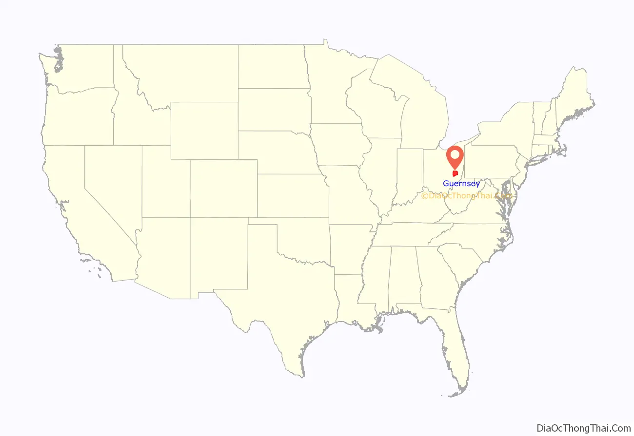
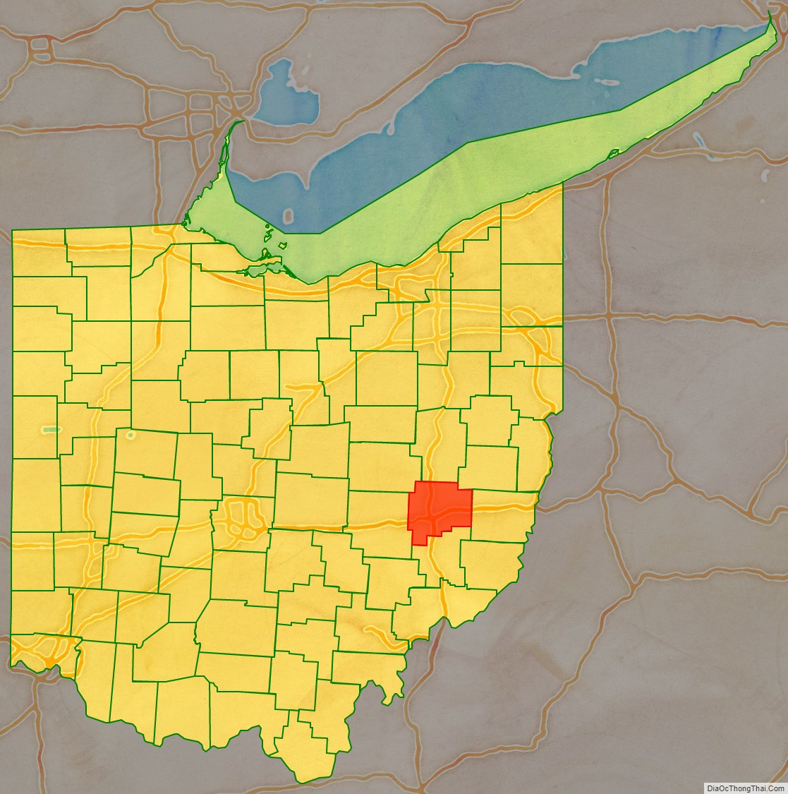
Guernsey County location map. Where is Guernsey County?
History
Guernsey County, located in the Appalachian foothills, was first formed and organized on 10 March 1810 from portions of Muskingum and Belmont counties, after the Ohio Legislature acted. The first county commissioners were sworn in on 23 April 1810. It lost some land area during the formation of neighboring counties until it reached its present boundaries in 1851, after Buffalo, Beaver, Olive, and Seneca townships were gained by Noble county. After dispute whether the county seat should be established in Cambridge or Washington, it was established in Cambridge after two individuals proposed to donate the land and furnish the public buildings if built in Cambridge.
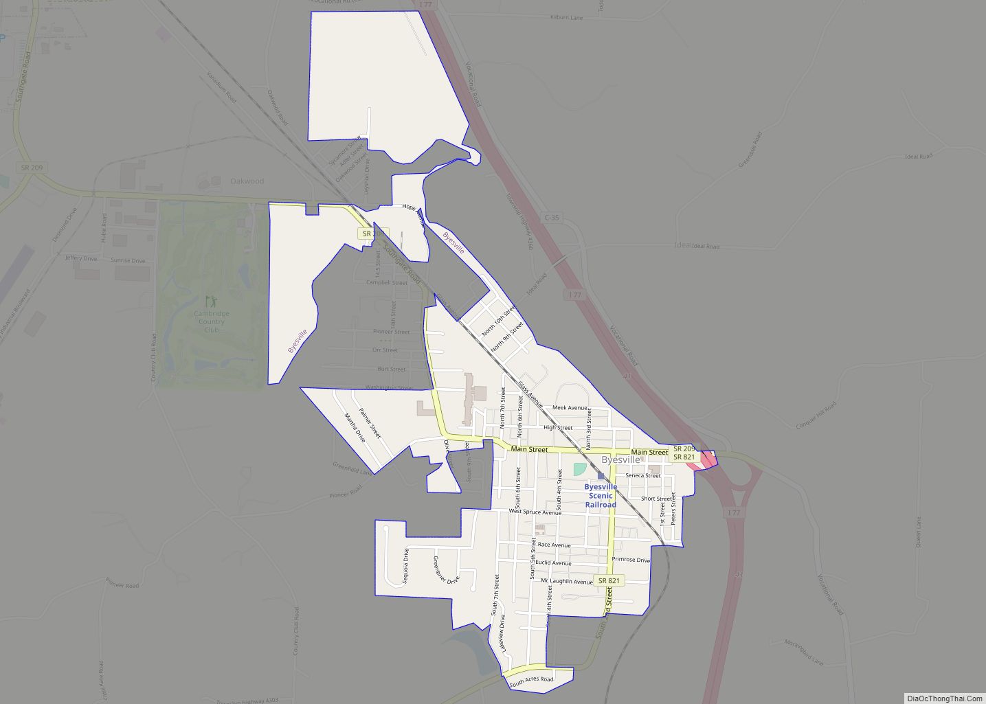
Guernsey County Road Map
Geography
According to the U.S. Census Bureau, the county has a total area of 528 square miles (1,370 km), of which 522 square miles (1,350 km) is land and 6.0 square miles (16 km) (1.1%) is water.
