Cambridge is a city in and the county seat of Guernsey County, Ohio, United States. It lies in southeastern Ohio, in the Appalachian Plateau of the Appalachian Mountains about 75 miles (121 km) east of Columbus and approximately 124 miles (200 km) south of Cleveland. The population was 10,089 at the 2020 census. It is the principal city of the Cambridge micropolitan area and is located adjacent to the intersection of Interstates 70 and 77.
Cambridge is well known among glass collectors as being the location for the Cambridge Glass, Boyd Glass and Mosser Glass plants. The Cambridge area is also noted for its “S” shaped bridges, dating back to the building of the National Road in 1828.
| Name: | Cambridge city |
|---|---|
| LSAD Code: | 25 |
| LSAD Description: | city (suffix) |
| State: | Ohio |
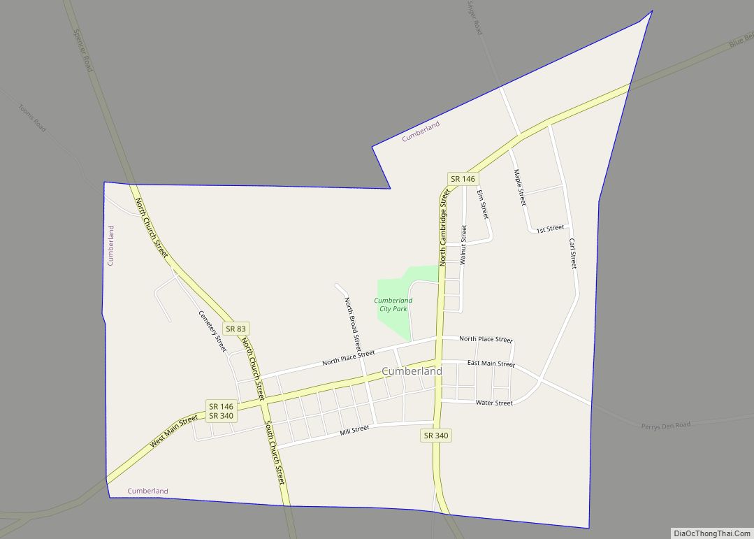
| County: | Guernsey County |
| Incorporated: | 1837 |
| Elevation: | 830 ft (253 m) |
| Total Area: | 6.37 sq mi (16.50 km²) |
| Land Area: | 6.37 sq mi (16.49 km²) |
| Water Area: | 0.00 sq mi (0.01 km²) |
| Total Population: | 10,089 |
| Population Density: | 1,584.33/sq mi (611.73/km²) |
| ZIP code: | 43725, 43750 |
| Area code: | 740 |
| FIPS code: | 3910996 |
| GNISfeature ID: | 1058167 |
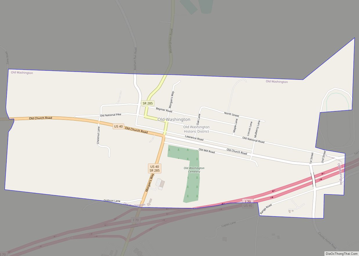
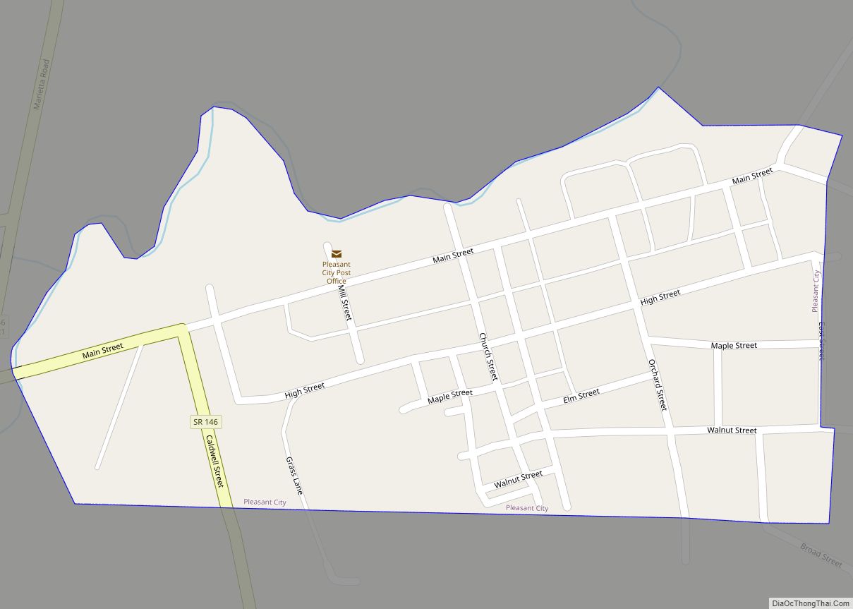
Online Interactive Map
Click on ![]() to view map in "full screen" mode.
to view map in "full screen" mode.
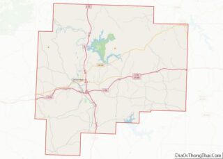
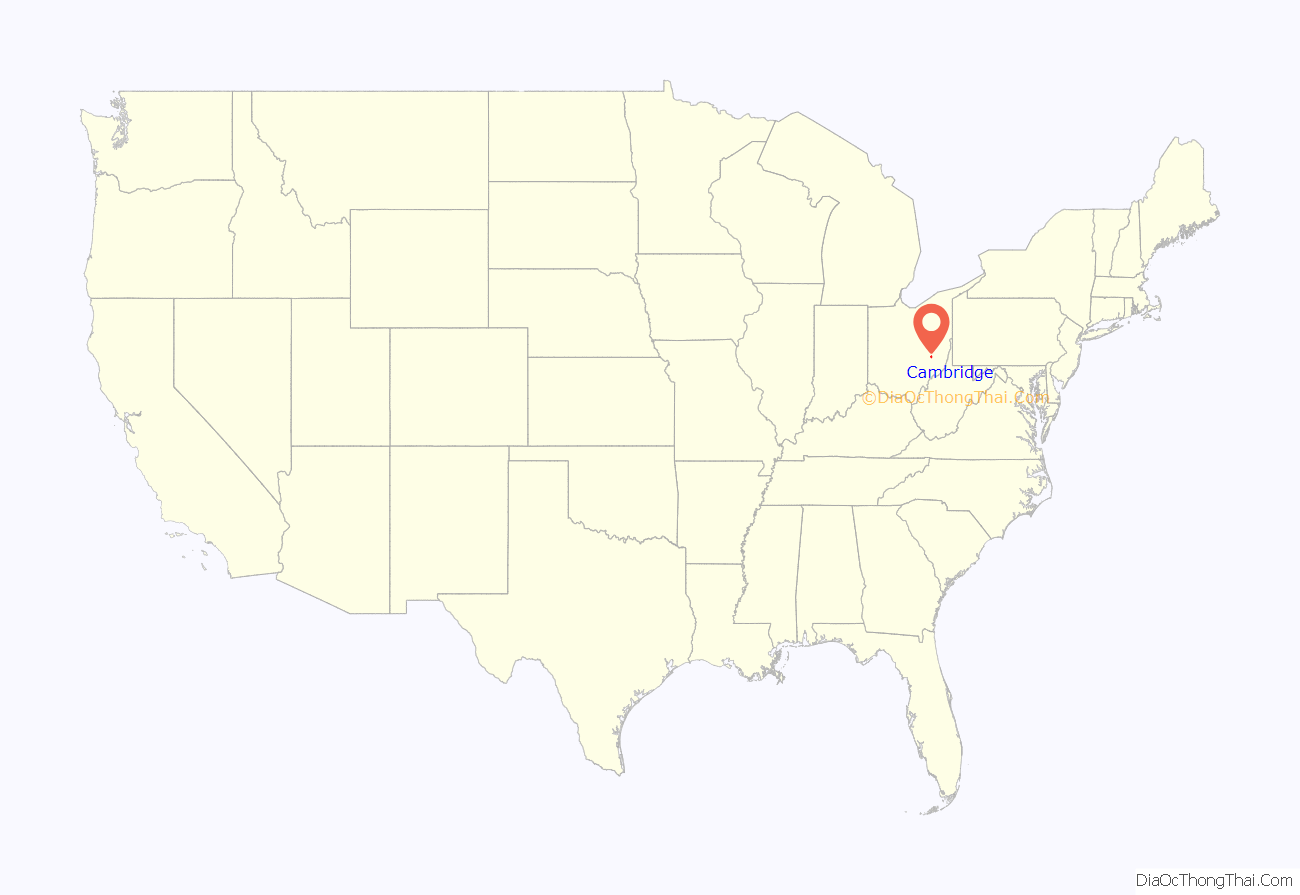
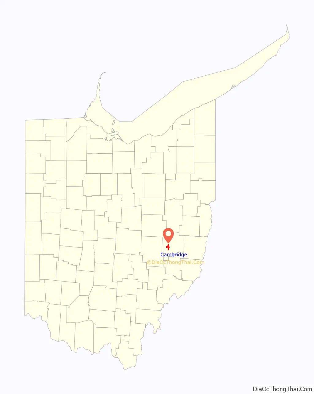
Cambridge location map. Where is Cambridge city?
History
In 1796, Col. Ebenezer Zane received funds to blaze a road suitable for travel by horse through the Ohio wilderness from a point on the Ohio River opposite Wheeling, Virginia (now Wheeling, West Virginia) to another point opposite Maysville, Kentucky. Where this road, known as Zane’s Trace, crossed Wills Creek, a ferry was established in 1798. This was followed by the first bridge authorized by the legislature of the Northwest Territory, built in 1803. The land on which part of Cambridge stands was granted to Zaccheus Biggs and Zaccheus Beatty by the government in 1801. A settlement grew up at the creek crossing. The town of Cambridge was platted there in 1806. Both Cambridge, Maryland and Cambridge, Massachusetts have been speculated by historians as having inspired the naming of the town. Also in 1806, another group of early settlers from the Isle of Guernsey in the English Channel pitched camp in Cambridge, reportedly because the women in the party refused to move on. The county for which Cambridge serves as the county seat was later named in honor of its many settlers from Guernsey. In 1828, the federally built National Road came through Cambridge. The first railroad arrived in 1854. The Cambridge area experienced massive flooding in late June 1998.
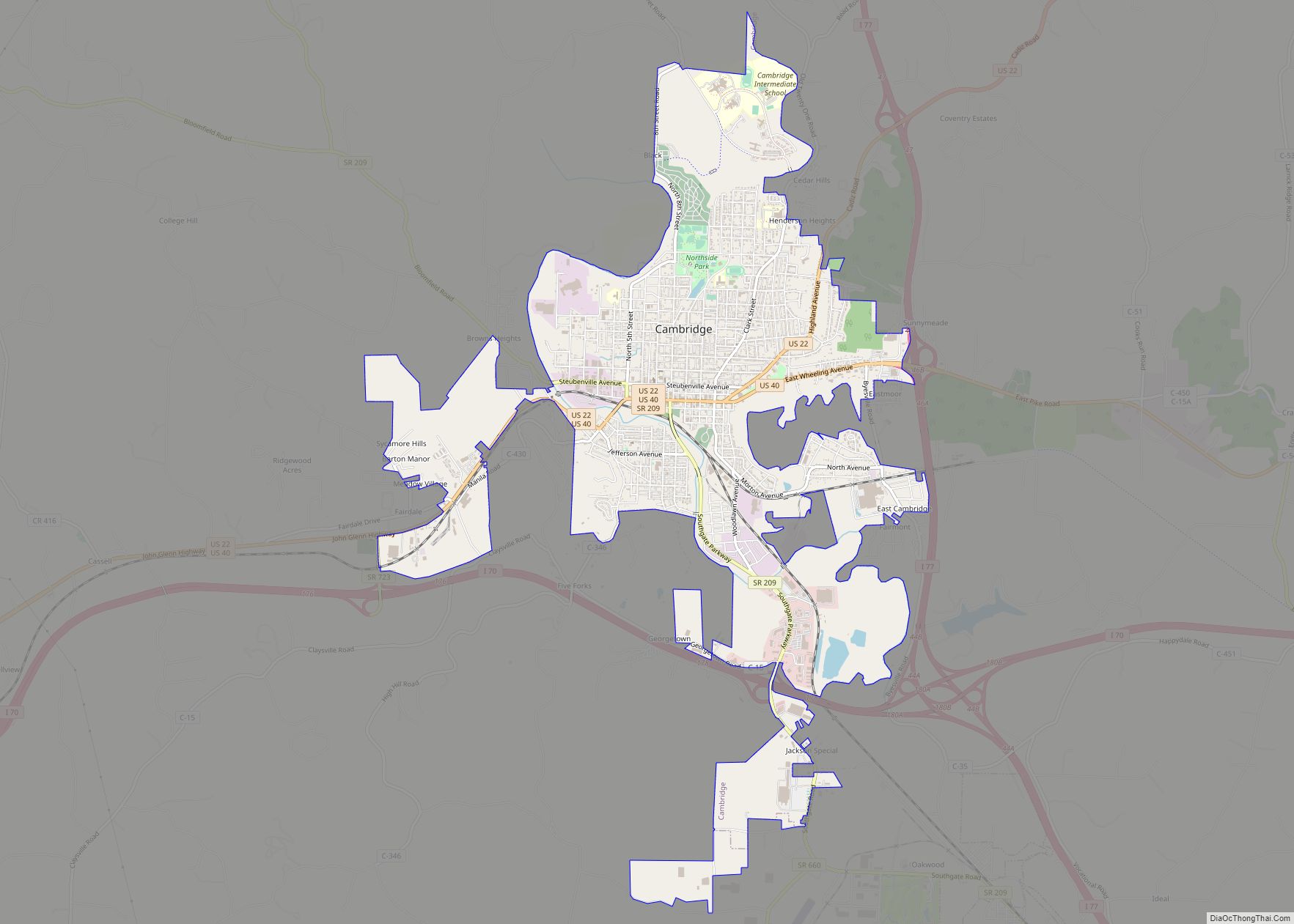
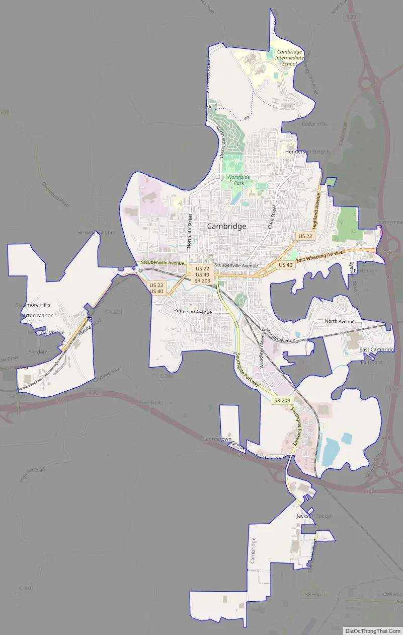
Cambridge Road Map
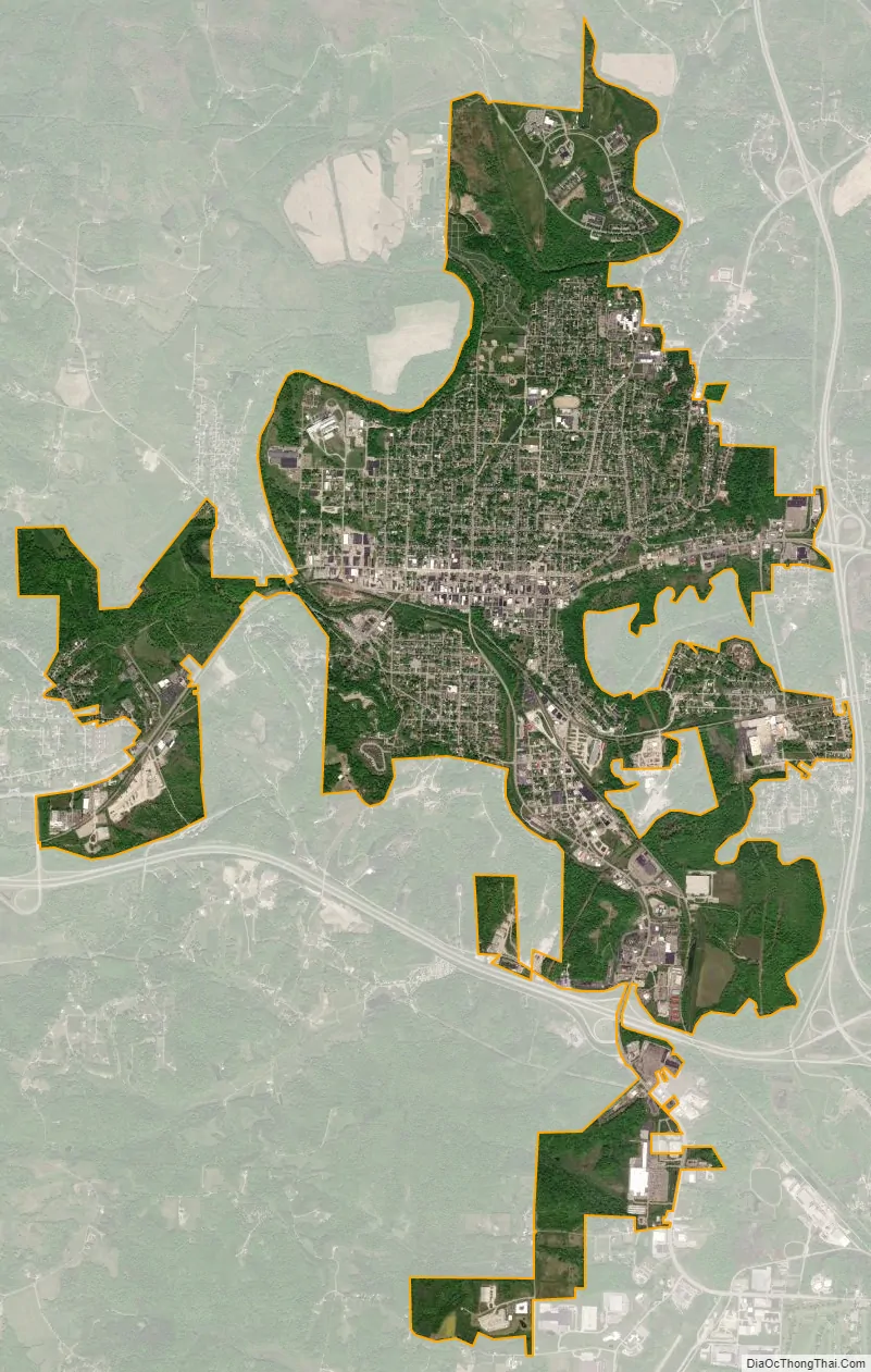
Cambridge city Satellite Map
Geography
Cambridge is located along Wills Creek; its tributary Leatherwood Creek flows into Wills Creek in the southern part of the city.
According to the United States Census Bureau, the city has a total area of 6.35 square miles (16.45 km), all land.
Climate
See also
Map of Ohio State and its subdivision:- Adams
- Allen
- Ashland
- Ashtabula
- Athens
- Auglaize
- Belmont
- Brown
- Butler
- Carroll
- Champaign
- Clark
- Clermont
- Clinton
- Columbiana
- Coshocton
- Crawford
- Cuyahoga
- Darke
- Defiance
- Delaware
- Erie
- Fairfield
- Fayette
- Franklin
- Fulton
- Gallia
- Geauga
- Greene
- Guernsey
- Hamilton
- Hancock
- Hardin
- Harrison
- Henry
- Highland
- Hocking
- Holmes
- Huron
- Jackson
- Jefferson
- Knox
- Lake
- Lake Erie
- Lawrence
- Licking
- Logan
- Lorain
- Lucas
- Madison
- Mahoning
- Marion
- Medina
- Meigs
- Mercer
- Miami
- Monroe
- Montgomery
- Morgan
- Morrow
- Muskingum
- Noble
- Ottawa
- Paulding
- Perry
- Pickaway
- Pike
- Portage
- Preble
- Putnam
- Richland
- Ross
- Sandusky
- Scioto
- Seneca
- Shelby
- Stark
- Summit
- Trumbull
- Tuscarawas
- Union
- Van Wert
- Vinton
- Warren
- Washington
- Wayne
- Williams
- Wood
- Wyandot
- Alabama
- Alaska
- Arizona
- Arkansas
- California
- Colorado
- Connecticut
- Delaware
- District of Columbia
- Florida
- Georgia
- Hawaii
- Idaho
- Illinois
- Indiana
- Iowa
- Kansas
- Kentucky
- Louisiana
- Maine
- Maryland
- Massachusetts
- Michigan
- Minnesota
- Mississippi
- Missouri
- Montana
- Nebraska
- Nevada
- New Hampshire
- New Jersey
- New Mexico
- New York
- North Carolina
- North Dakota
- Ohio
- Oklahoma
- Oregon
- Pennsylvania
- Rhode Island
- South Carolina
- South Dakota
- Tennessee
- Texas
- Utah
- Vermont
- Virginia
- Washington
- West Virginia
- Wisconsin
- Wyoming