Old Washington is a village in Guernsey County, Ohio, United States. The population was 279 at the 2010 census.
| Name: | Old Washington village |
|---|---|
| LSAD Code: | 47 |
| LSAD Description: | village (suffix) |
| State: | Ohio |
| County: | Guernsey County |
| Elevation: | 1,014 ft (309 m) |
| Total Area: | 0.67 sq mi (1.74 km²) |
| Land Area: | 0.67 sq mi (1.74 km²) |
| Water Area: | 0.00 sq mi (0.00 km²) |
| Total Population: | 223 |
| Population Density: | 331.85/sq mi (128.17/km²) |
| ZIP code: | 43768 |
| Area code: | 740 |
| FIPS code: | 3958226 |
| GNISfeature ID: | 1065197 |
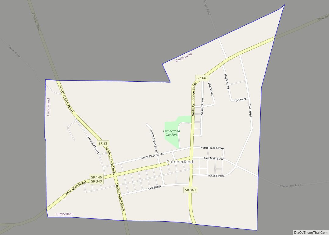
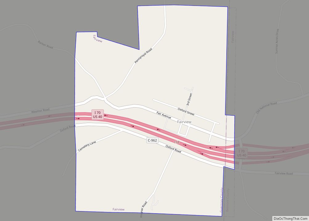
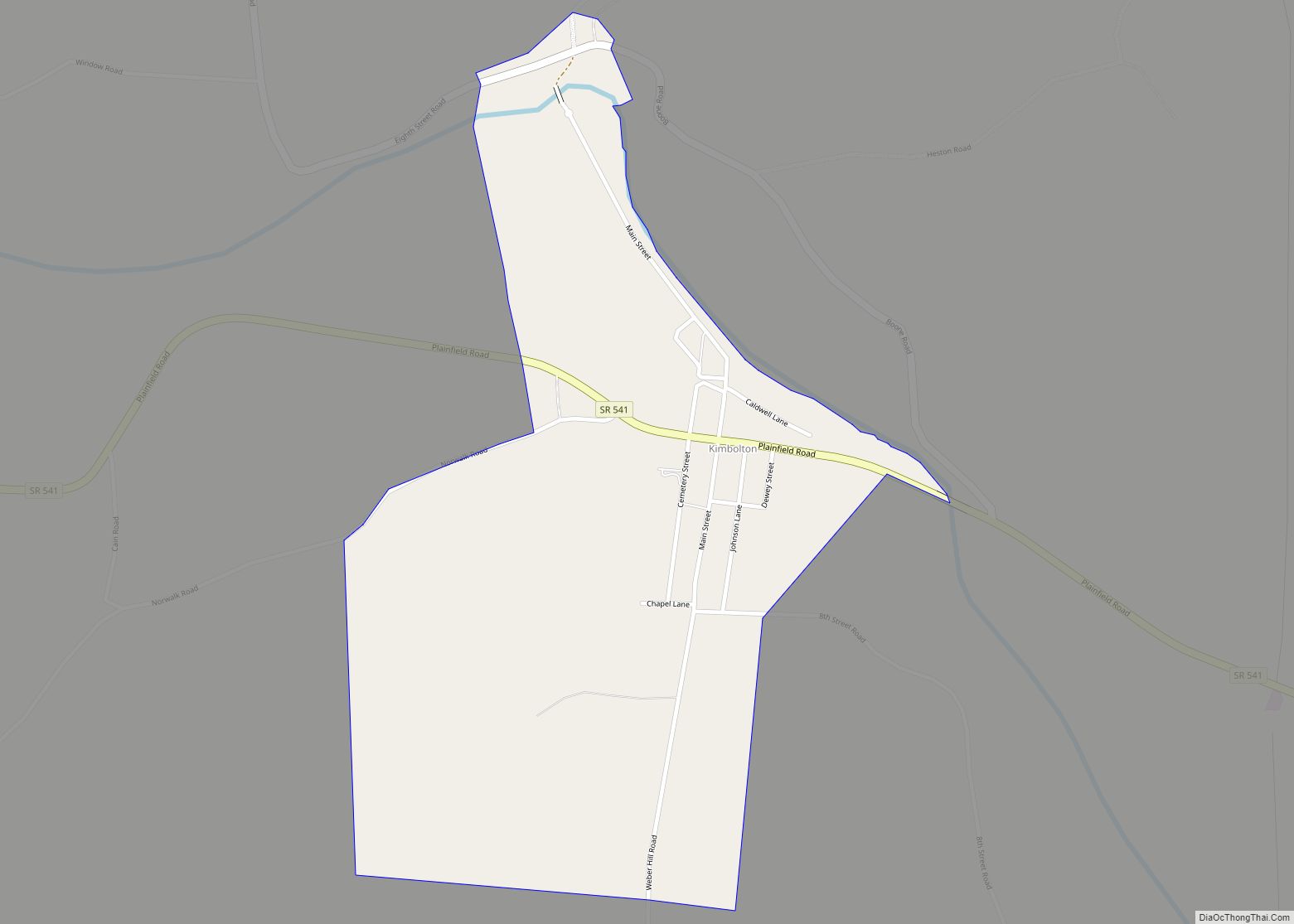
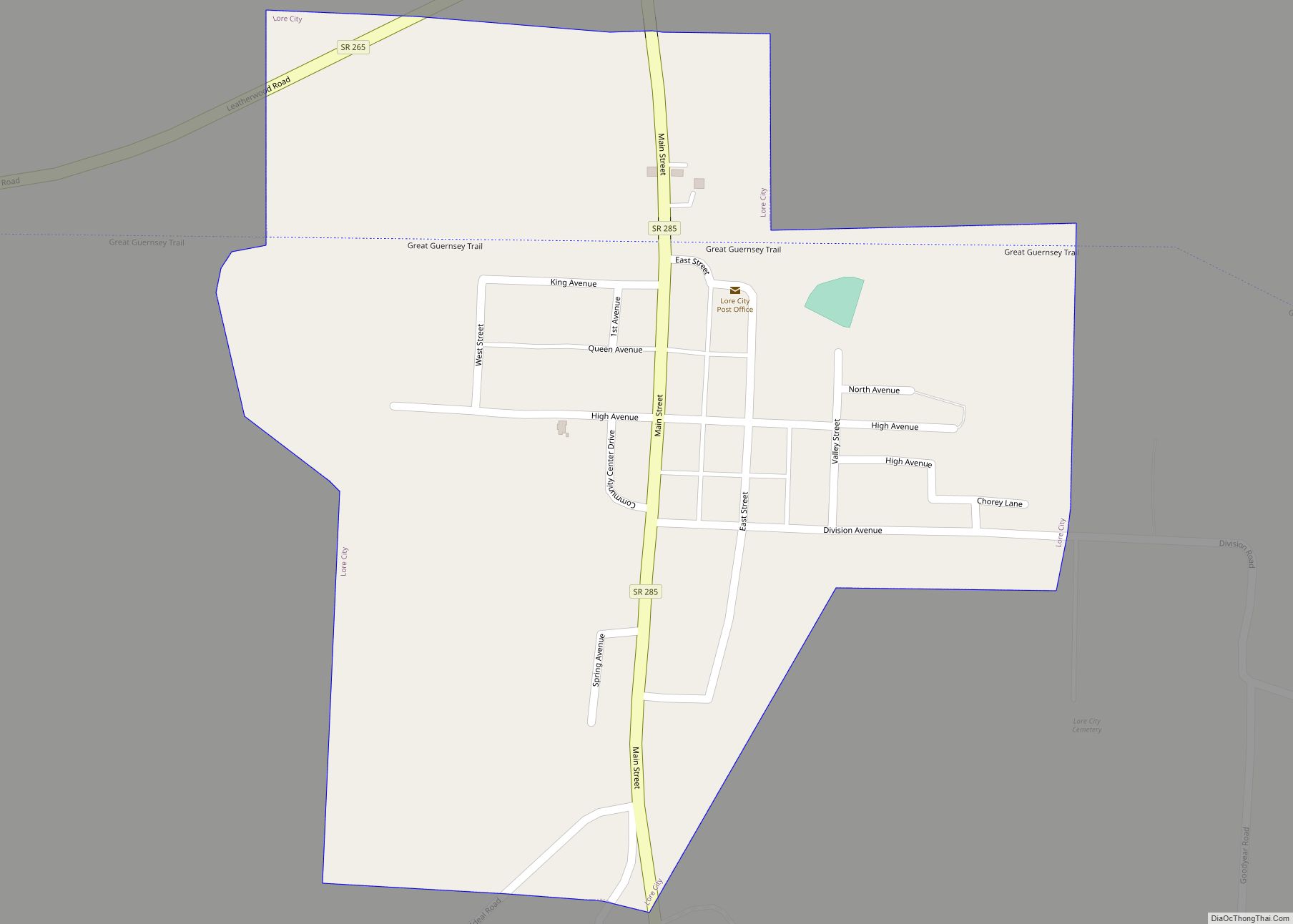
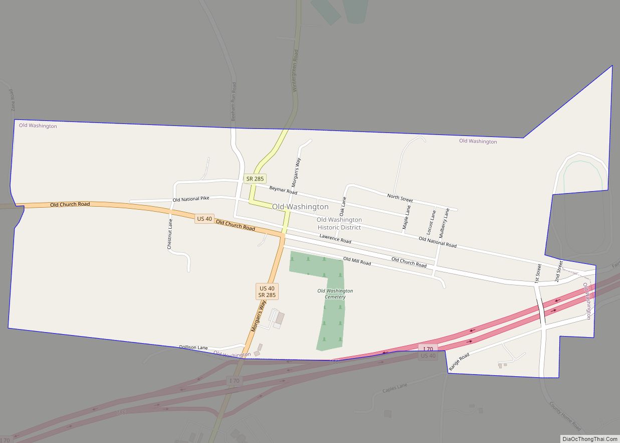
Online Interactive Map
Click on ![]() to view map in "full screen" mode.
to view map in "full screen" mode.
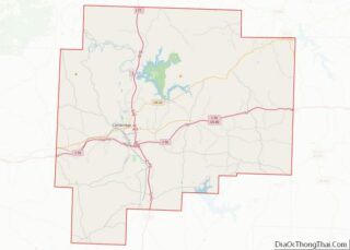
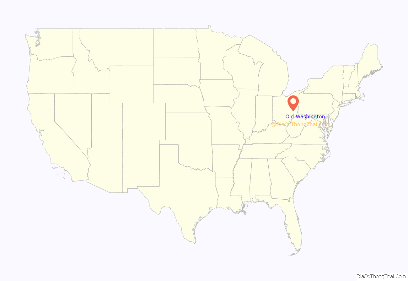
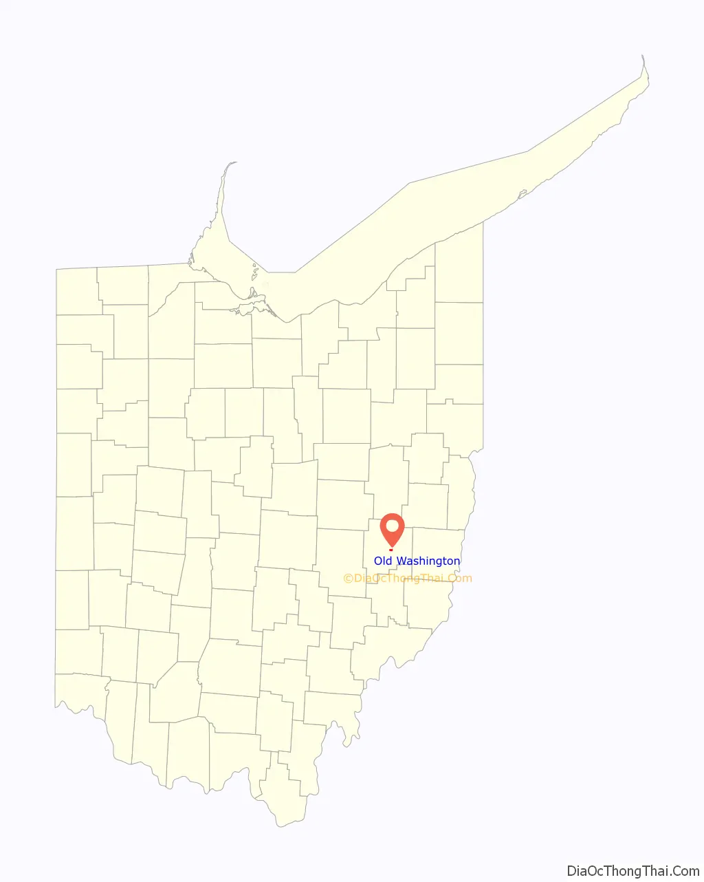
Old Washington location map. Where is Old Washington village?
History
The village has been known by several names in its history. Platted by George and Henry Beymer in 1805, it was initially known by two names; Beymerstown and New Washington. It was incorporated as Washington in 1829, soon after the National Road reached it. The present name was later adopted to mitigate postal confusion with the City of Washington, now known as City of Washington Court House in Fayette County.
In July 1863, Old Washington was the site of a small engagement during the course of Morgan’s Raid. In the course of their campaign through Ohio, the Confederate raiders appeared in several Guernsey County villages, including Old Washington, where they wreaked havoc before being caught by Union cavalry. The three Confederate dead are buried at the cemetery in Old Washington.
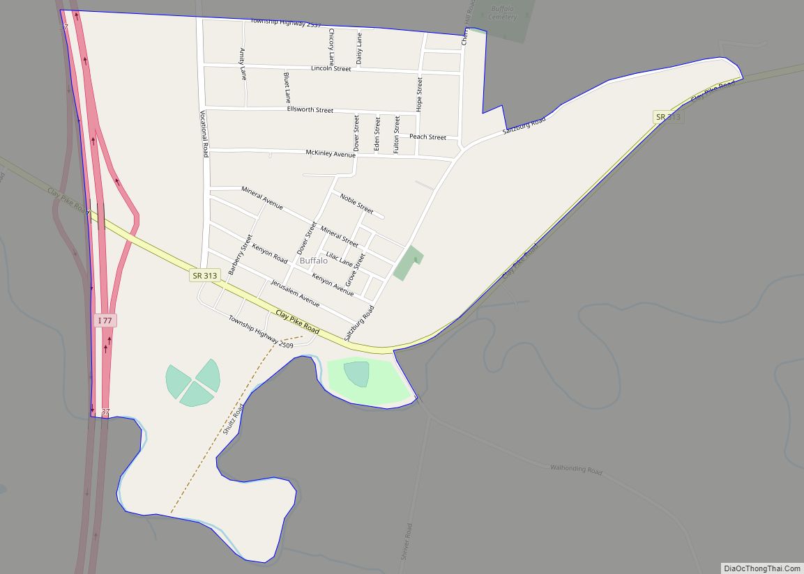
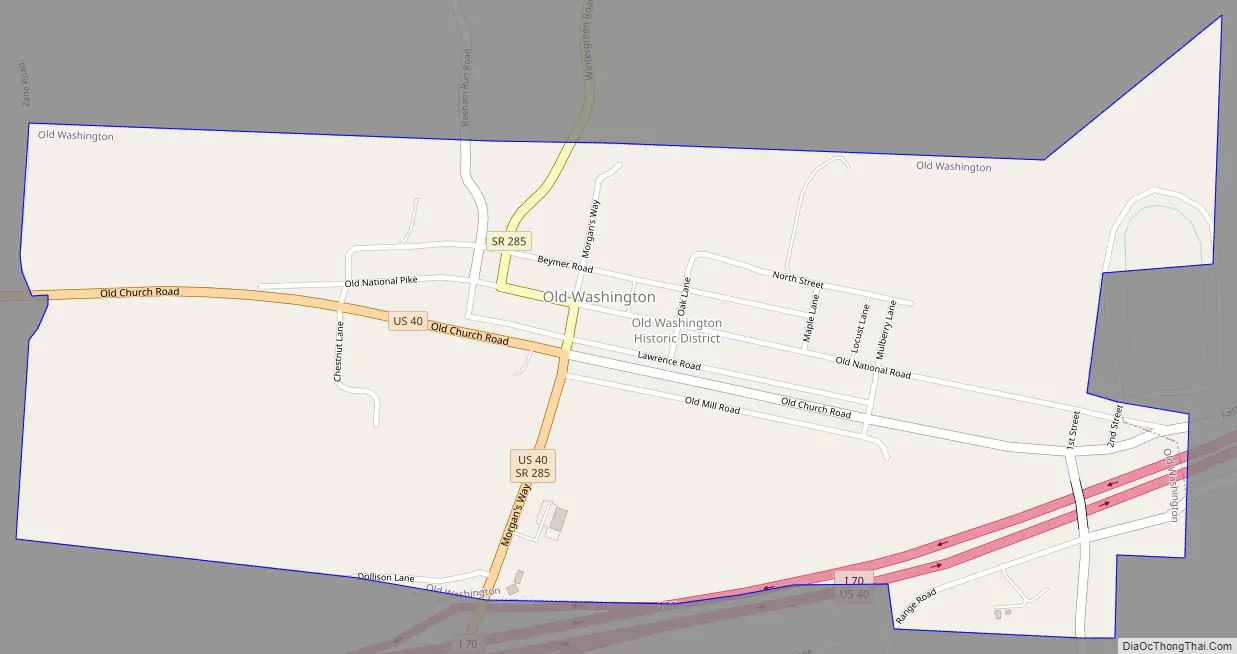
Old Washington Road Map
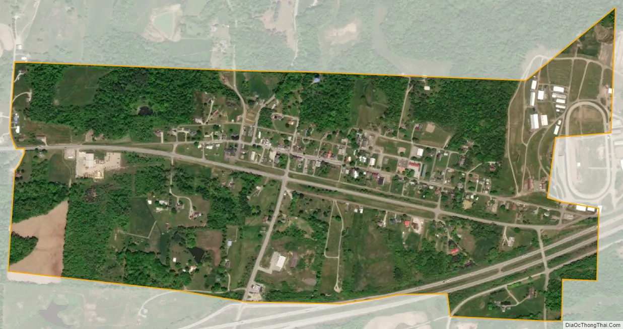
Old Washington city Satellite Map
Geography
Old Washington is located at 40°2′14″N 81°26′27″W / 40.03722°N 81.44083°W / 40.03722; -81.44083 (40.037302, -81.440827).
According to the United States Census Bureau, the village has a total area of 0.67 square miles (1.74 km), all land.
See also
Map of Ohio State and its subdivision:- Adams
- Allen
- Ashland
- Ashtabula
- Athens
- Auglaize
- Belmont
- Brown
- Butler
- Carroll
- Champaign
- Clark
- Clermont
- Clinton
- Columbiana
- Coshocton
- Crawford
- Cuyahoga
- Darke
- Defiance
- Delaware
- Erie
- Fairfield
- Fayette
- Franklin
- Fulton
- Gallia
- Geauga
- Greene
- Guernsey
- Hamilton
- Hancock
- Hardin
- Harrison
- Henry
- Highland
- Hocking
- Holmes
- Huron
- Jackson
- Jefferson
- Knox
- Lake
- Lake Erie
- Lawrence
- Licking
- Logan
- Lorain
- Lucas
- Madison
- Mahoning
- Marion
- Medina
- Meigs
- Mercer
- Miami
- Monroe
- Montgomery
- Morgan
- Morrow
- Muskingum
- Noble
- Ottawa
- Paulding
- Perry
- Pickaway
- Pike
- Portage
- Preble
- Putnam
- Richland
- Ross
- Sandusky
- Scioto
- Seneca
- Shelby
- Stark
- Summit
- Trumbull
- Tuscarawas
- Union
- Van Wert
- Vinton
- Warren
- Washington
- Wayne
- Williams
- Wood
- Wyandot
- Alabama
- Alaska
- Arizona
- Arkansas
- California
- Colorado
- Connecticut
- Delaware
- District of Columbia
- Florida
- Georgia
- Hawaii
- Idaho
- Illinois
- Indiana
- Iowa
- Kansas
- Kentucky
- Louisiana
- Maine
- Maryland
- Massachusetts
- Michigan
- Minnesota
- Mississippi
- Missouri
- Montana
- Nebraska
- Nevada
- New Hampshire
- New Jersey
- New Mexico
- New York
- North Carolina
- North Dakota
- Ohio
- Oklahoma
- Oregon
- Pennsylvania
- Rhode Island
- South Carolina
- South Dakota
- Tennessee
- Texas
- Utah
- Vermont
- Virginia
- Washington
- West Virginia
- Wisconsin
- Wyoming