Byram (US: /ˈbaɪrəm/) is a city in Hinds County, Mississippi, United States. The population was 11,489 as of the 2010 census, up from 7,386 at the 2000 census, at which time it was an unincorporated census-designated place (CDP); in 2020, its population was 12,666. It is part of the Jackson metropolitan statistical area. It was incorporated for a second time in its history on June 16, 2009.
| Name: | Byram city |
|---|---|
| LSAD Code: | 25 |
| LSAD Description: | city (suffix) |
| State: | Mississippi |
| County: | Hinds County |
| Elevation: | 266 ft (81 m) |
| Total Area: | 18.63 sq mi (48.25 km²) |
| Land Area: | 18.36 sq mi (47.56 km²) |
| Water Area: | 0.27 sq mi (0.69 km²) |
| Total Population: | 12,666 |
| Population Density: | 689.72/sq mi (266.31/km²) |
| ZIP code: | 39272 |
| Area code: | 601 & 769 |
| FIPS code: | 2810140 |
| GNISfeature ID: | 0667884 |
| Website: | byram-ms.us |
Online Interactive Map
Click on ![]() to view map in "full screen" mode.
to view map in "full screen" mode.
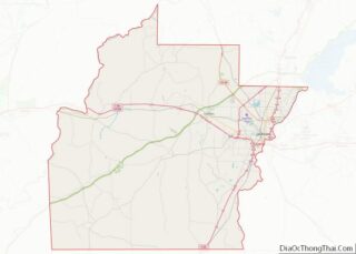
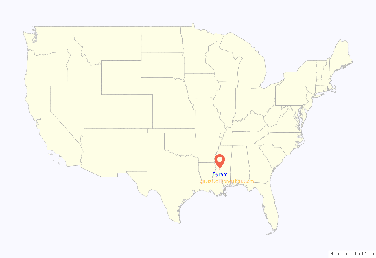
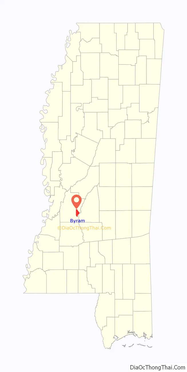
Byram location map. Where is Byram city?
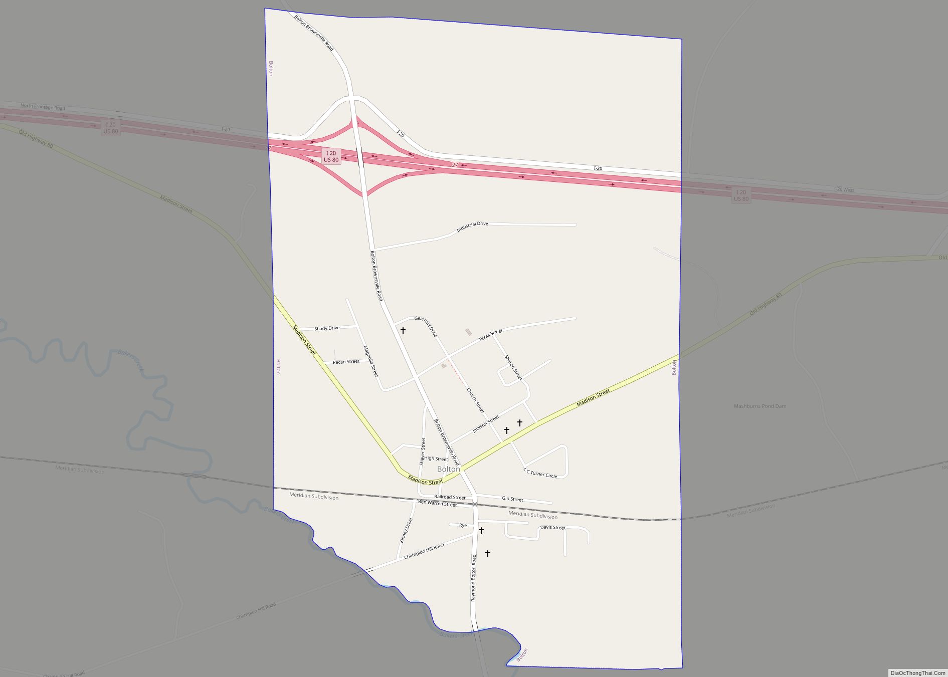
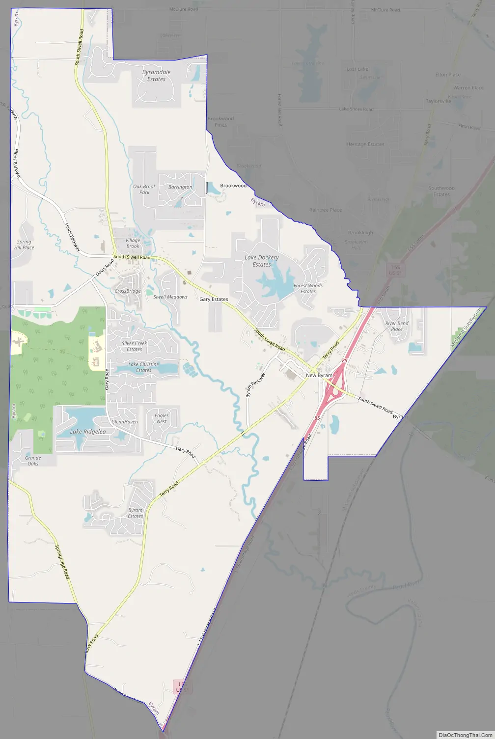
Byram Road Map
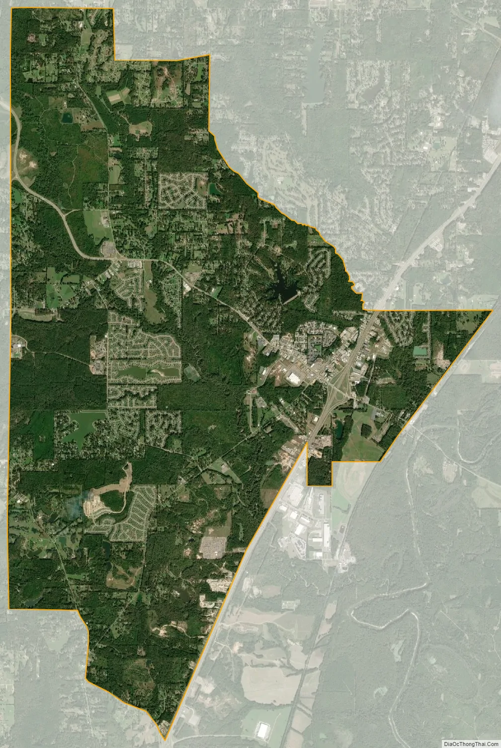
Byram city Satellite Map
Geography
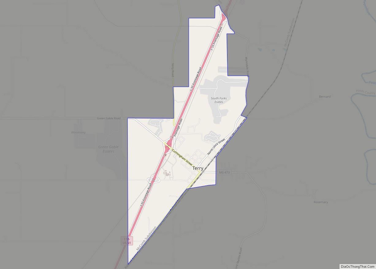
Byram is bordered to the north by the city of Jackson, the state capital, and to the south by Terry.
Interstate 55 passes through the east side of Byram, with access from Exits 81 and 85. I-55 leads north 10 miles (16 km) to the center of Jackson and south 177 miles (285 km) to New Orleans.
According to the United States Census Bureau, the city of Byram has a total area of 18.6 square miles (48.3 km), of which 18.4 square miles (47.6 km) are land and 0.3 square miles (0.7 km), or 1.43%, are water. The Pearl River flows southward just east of the city limits.
See also
Map of Mississippi State and its subdivision:- Adams
- Alcorn
- Amite
- Attala
- Benton
- Bolivar
- Calhoun
- Carroll
- Chickasaw
- Choctaw
- Claiborne
- Clarke
- Clay
- Coahoma
- Copiah
- Covington
- Desoto
- Forrest
- Franklin
- George
- Greene
- Grenada
- Hancock
- Harrison
- Hinds
- Holmes
- Humphreys
- Issaquena
- Itawamba
- Jackson
- Jasper
- Jefferson
- Jefferson Davis
- Jones
- Kemper
- Lafayette
- Lamar
- Lauderdale
- Lawrence
- Leake
- Lee
- Leflore
- Lincoln
- Lowndes
- Madison
- Marion
- Marshall
- Monroe
- Montgomery
- Neshoba
- Newton
- Noxubee
- Oktibbeha
- Panola
- Pearl River
- Perry
- Pike
- Pontotoc
- Prentiss
- Quitman
- Rankin
- Scott
- Sharkey
- Simpson
- Smith
- Stone
- Sunflower
- Tallahatchie
- Tate
- Tippah
- Tishomingo
- Tunica
- Union
- Walthall
- Warren
- Washington
- Wayne
- Webster
- Wilkinson
- Winston
- Yalobusha
- Yazoo
- Alabama
- Alaska
- Arizona
- Arkansas
- California
- Colorado
- Connecticut
- Delaware
- District of Columbia
- Florida
- Georgia
- Hawaii
- Idaho
- Illinois
- Indiana
- Iowa
- Kansas
- Kentucky
- Louisiana
- Maine
- Maryland
- Massachusetts
- Michigan
- Minnesota
- Mississippi
- Missouri
- Montana
- Nebraska
- Nevada
- New Hampshire
- New Jersey
- New Mexico
- New York
- North Carolina
- North Dakota
- Ohio
- Oklahoma
- Oregon
- Pennsylvania
- Rhode Island
- South Carolina
- South Dakota
- Tennessee
- Texas
- Utah
- Vermont
- Virginia
- Washington
- West Virginia
- Wisconsin
- Wyoming