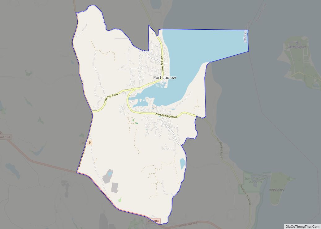
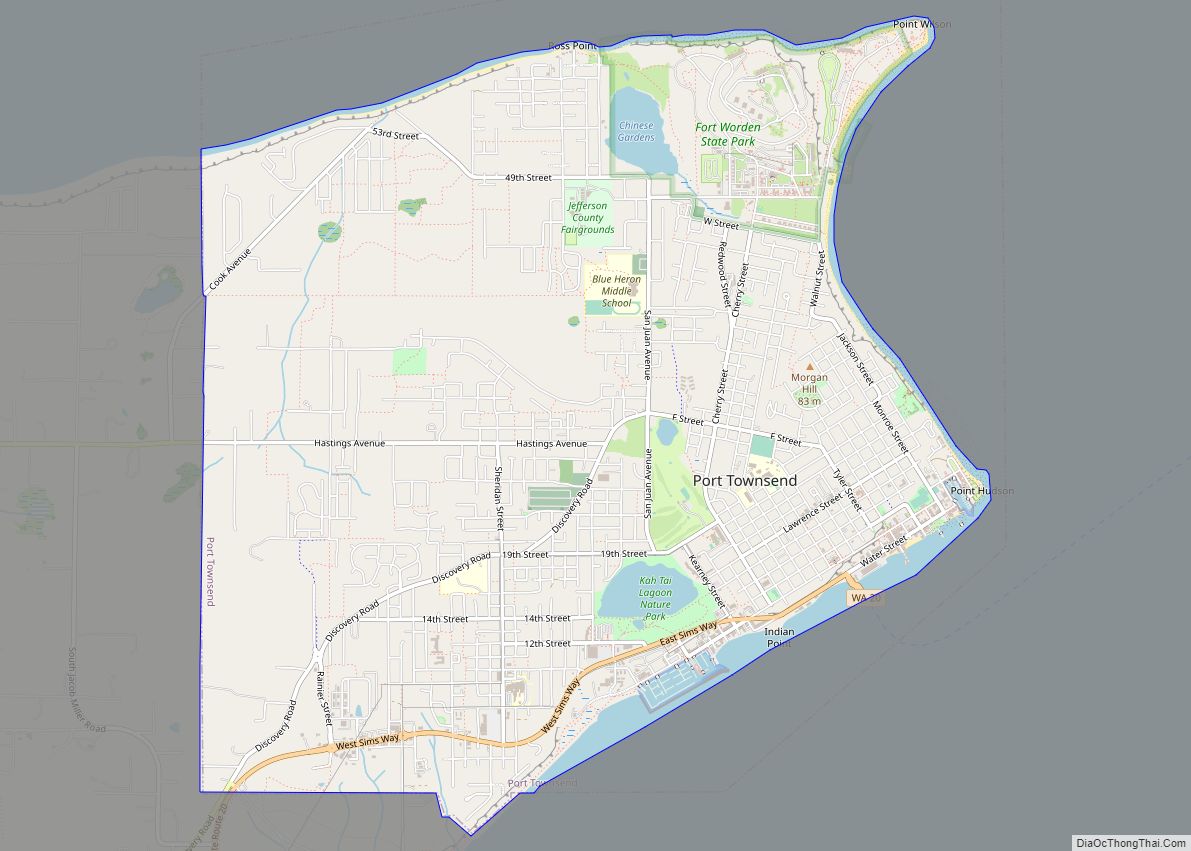
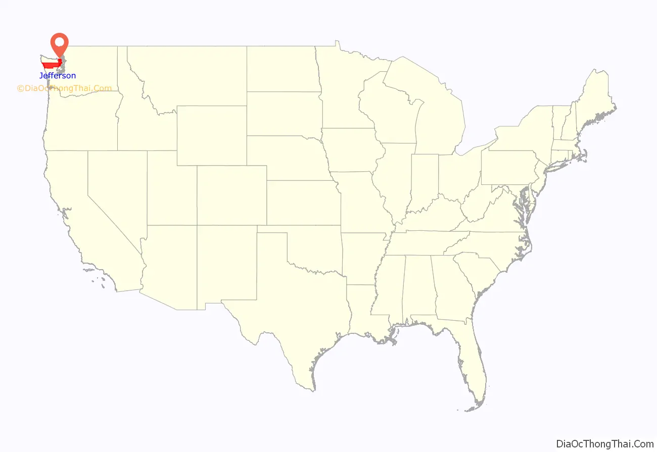
Jefferson County is a county located in the U.S. state of Washington. As of the 2020 census, the population was 32,977. The county seat and only incorporated city is Port Townsend. The county is named for Thomas Jefferson.
Jefferson County was formed out of Thurston County on December 22, 1852, by the legislature of Oregon Territory, and included the northern 4,854 square miles (12,571.8 km) portion of the Olympic Peninsula. On April 26, 1854, the legislature of Washington Territory created Clallam County from the northwestern 2,670 square miles (6,915.3 km) portion of this original area.
The Hood Canal Bridge connects Jefferson County to Kitsap County, Washington. The Coupeville-Port Townsend route of the Washington State Ferries connects the county to Whidbey Island in Island County, Washington.
| Name: | Jefferson County |
|---|---|
| FIPS code: | 53-031 |
| State: | Washington |
| Founded: | December 22, 1852 |
| Named for: | Thomas Jefferson |
| Seat: | Port Townsend |
| Largest city: | Port Townsend |
| Total Area: | 2,183 sq mi (5,650 km²) |
| Land Area: | 1,804 sq mi (4,670 km²) |
| Total Population: | 32,977 |
| Population Density: | 17/sq mi (7/km²) |
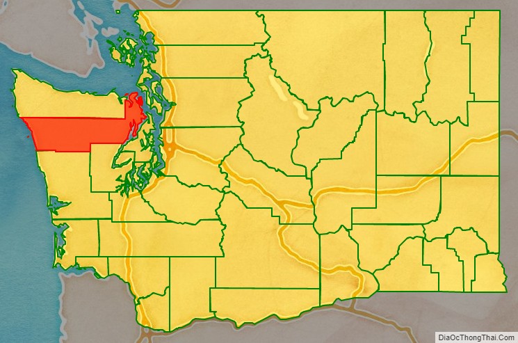
Jefferson County location map. Where is Jefferson County?
Jefferson County Road Map
Geography
According to the United States Census Bureau, the county has a total area of 2,183 square miles (5,650 km), of which 1,804 square miles (4,670 km) is land and 379 square miles (980 km) (17%) is water.
The county is split in three parts by its landforms:
- Eastern Jefferson County along the Strait of Juan de Fuca, Admiralty Inlet, Puget Sound, and the Hood Canal
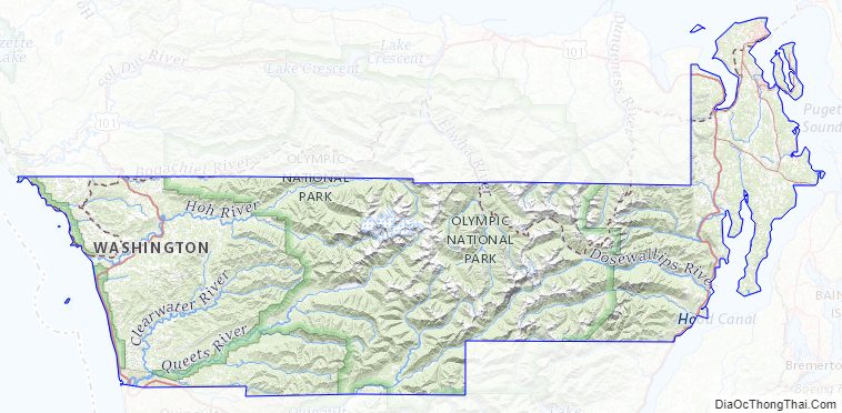
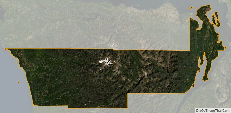
- Central Jefferson County, which is uninhabited and lies in the Olympic Mountains within Olympic National Park and Olympic National Forest
- Western Jefferson County, along the Pacific Ocean.
Because of the mountainous barrier, there is no road lying entirely within Jefferson County that connects the eastern and western parts. The most direct land route between the two ends of the county involves a drive of approximately 100 miles (160 km) along U.S. Route 101 through neighbouring Clallam County. The mountains also block the damp Chinook winds, which make the climate much wetter in the west than the so-called eastern “banana belt” in the rain shadow.
Geographic features
- Admiralty Inlet
- Bolton Peninsula
- Destruction Island
- Discovery Bay
- Hood Canal
- Mount Olympus, the highest point on the Olympic Peninsula
- Olympic Mountains
- Olympic Peninsula
- Pacific Ocean
- Point Wilson
- Port Townsend Bay
- Protection Island
- Puget Sound
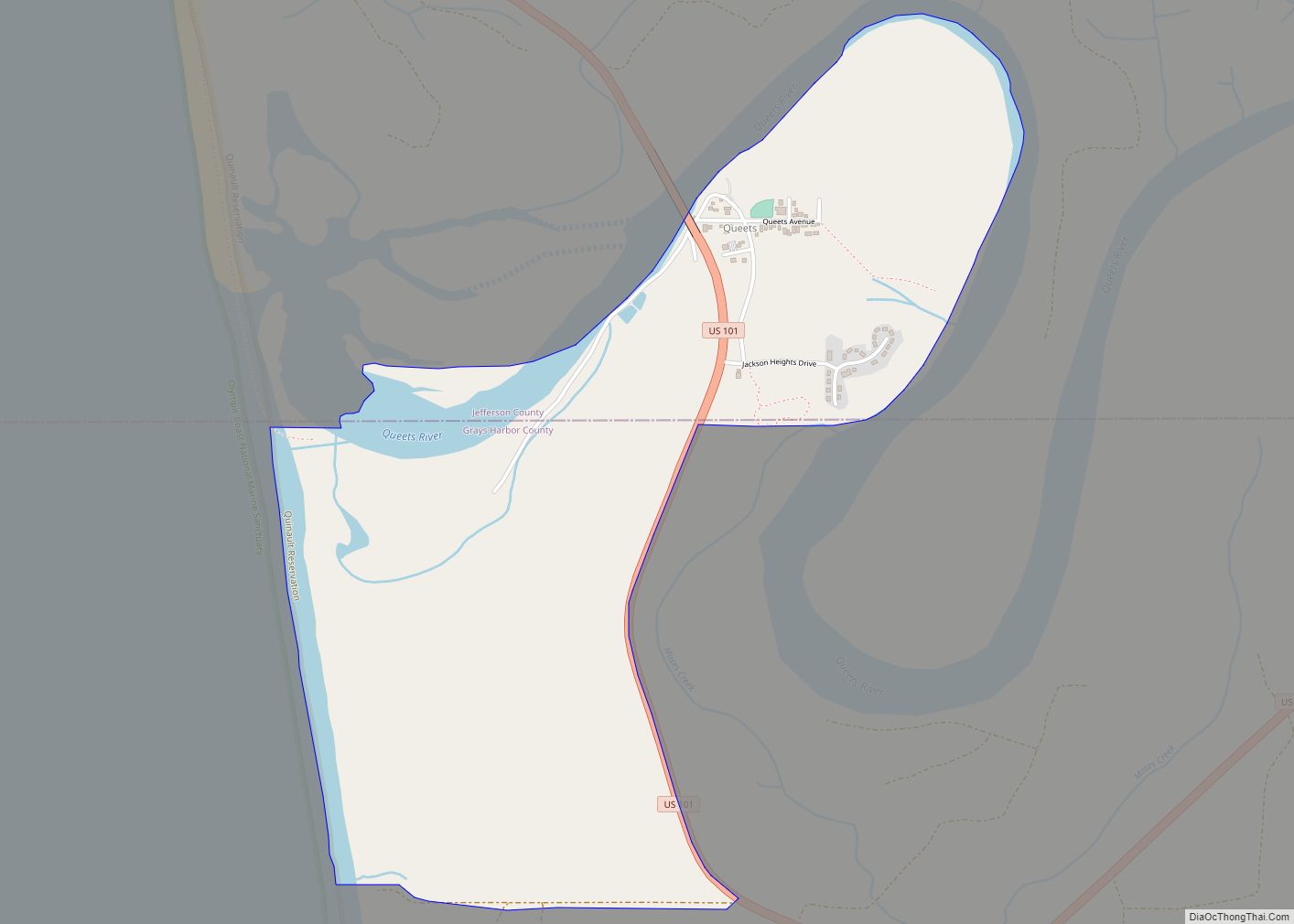
- Queets River
- Quimper Peninsula
- Strait of Juan de Fuca
- Toandos (Coyle) Peninsula
Major highways
- U.S. Route 101
- State Route 20
- State Route 104
Adjacent counties
- Island County – northeast
- Kitsap County – southeast
- Mason County – south/southeast
- Grays Harbor County – south/southwest
- Clallam County – northwest
- San Juan County – northeast
National protected areas
- Olympic National Forest (part)
- Olympic National Park (part)
- Protection Island National Wildlife Refuge
- Quillayute Needles National Wildlife Refuge (part)
- Pacific Northwest National Scenic Trail (part)
Jefferson County Topographic Map
Jefferson County Satellite Map
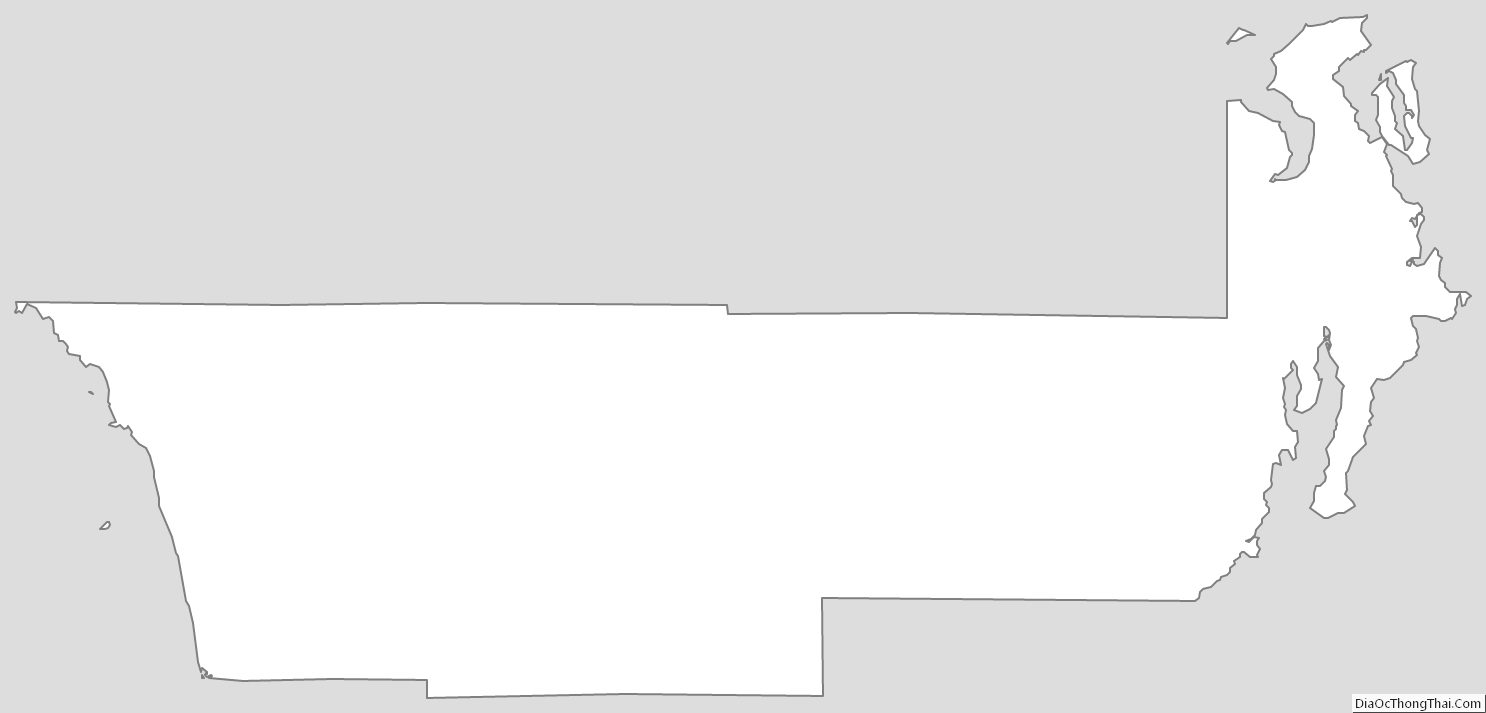
Jefferson County Outline Map