Port Townsend /ˈtaʊnzənd/ is a city on the Quimper Peninsula in Jefferson County, Washington, United States. The population was 10,148 at the 2020 United States Census. It is the county seat and only incorporated city of Jefferson County. In addition to its natural scenery at the northeast tip of the Olympic Peninsula, the city is known for the many Victorian buildings remaining from its late 19th-century heyday, numerous annual cultural events, and as a maritime center for independent boatbuilders and related industries and crafts. The Port Townsend Historic District is a U.S. National Historic Landmark District. It is also significantly drier than the surrounding region due to being in the rainshadow of the Olympic Mountains, receiving only 19 inches or 480 millimeters of rain per year.
| Name: | Port Townsend city |
|---|---|
| LSAD Code: | 25 |
| LSAD Description: | city (suffix) |
| State: | Washington |
| County: | Jefferson County |
| Incorporated: | 1851 |
| Elevation: | 131 ft (40 m) |
| Total Area: | 7.35 sq mi (19.05 km²) |
| Land Area: | 6.94 sq mi (17.98 km²) |
| Water Area: | 0.41 sq mi (1.07 km²) |
| Total Population: | 10,148 |
| Population Density: | 1,416.16/sq mi (546.75/km²) |
| ZIP code: | 98368 |
| Area code: | 360 |
| FIPS code: | 5355855 |
| GNISfeature ID: | 1524589 |
| Website: | www.cityofpt.us |
Online Interactive Map
Click on ![]() to view map in "full screen" mode.
to view map in "full screen" mode.
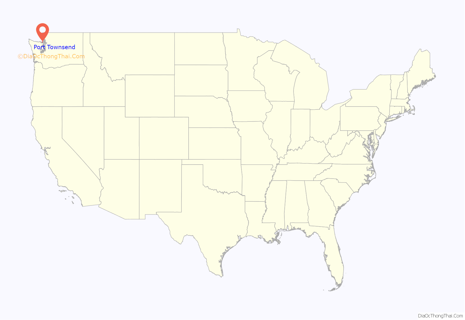
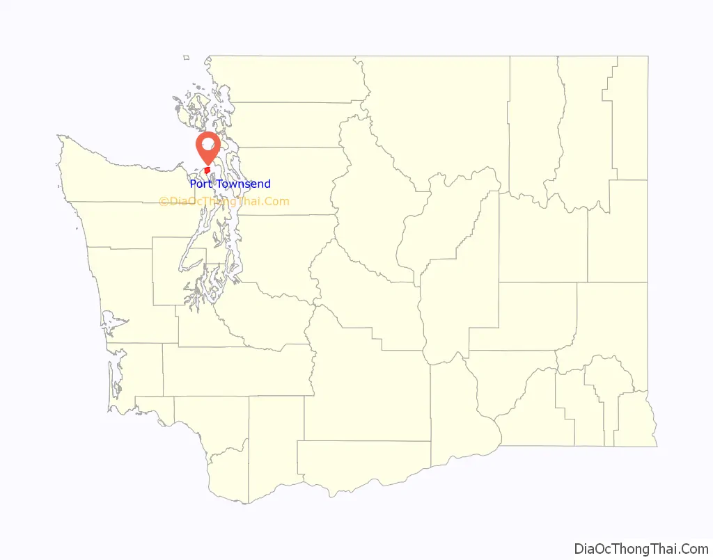
Port Townsend location map. Where is Port Townsend city?
History
The bay was originally named “Port Townshend” by Captain George Vancouver in 1792, for his friend the Marquis of Townshend. It was immediately recognized as a good safe harbor, although strong south winds and poor holding ground often make small-craft anchorage problematic off the town’s waterfront.
The official European-American settlement of the city of the same name took place on April 24, 1851. American Indian tribes located in what is now Jefferson County in the mid-19th century included the Chimakum (or Chemakum), Hoh (a group of the Quileute), Klallam (or Clallam), Quinault, and Twana (the Kilcid band — Anglicized as “Quilcene”).
Port Townsend is called the “City of Dreams” because of the early speculation that the city would be the largest harbor on the west coast of the United States. Guarding the gate of Puget Sound, it would become known by its other nickname, the “Key City,” a title that remains to this day.
By the late 19th century, Port Townsend was a well-known seaport, very active and banking on the future. Many homes and buildings were built during that time, with most of the architecture ornate Victorian. During this period, in 1888, the Port Townsend Police Department was established.
Railroads were built to reach more areas in the 1870s–1890s, and Port Townsend was to be the northwest extension of the rail lines. Its port was large and frequented by overseas vessels, so shipping of goods and timber from the area was a major part of the economy. Many of the buildings were built on the speculation that Port Townsend would become a booming shipping port and major city. When the depression hit, those plans lost the capital to continue and rail lines ended on the east side of Puget Sound, mainly in Tumwater, Tacoma, and Seattle. With the other Puget Sound ports growing in size, Port Townsend saw a rapid decline in population when the Northern Pacific Railroad failed to connect the city to the eastern Puget Sound city of Tacoma. By the late 1890s, the boom was over. Without the railroad to spur economic growth, the town shrank and investors looked elsewhere to make a good return. (The Milwaukee Road built a short spur to the pulpmill and barged cars over from Anacortes.)
Over the decades that followed, Port Townsend maintained its economic stability in a variety of ways, including the development of artillery fortifications at Fort Worden. Many people left the area, and many buildings were abandoned. Port Townsend’s economy was very weak until the 1920s, when a paper mill was built on the edge of the town. The bay is now home to Naval Magazine Indian Island, the US Navy’s primary munitions-handling dock on the Pacific coast.
Since the 1970s new residents, including many retirees, have moved to town. The waterfront retail district has restaurants, services, and tourist destinations. Since 1999, the city has had an annual international film festival in September. Other cultural programming, some at Fort Worden, now a state park, includes a Wooden Boat Festival, writers’ conference, playwrighting festival, and blues and jazz festivals, in addition to music, dance, and live theater performances. The town has two independent movie theaters, both upgraded by 2014 to handle digital film.
Recognition of historic status
Because of the speed at which the economy declined in the 1890s and the lack of any industry to replace it, very few of the Victorian buildings were torn down or built over in the intervening period. They were essentially preserved for nearly 100 years, when the value of protecting them was appreciated and fostered. Unlike most cities in the Pacific Northwest that were ravaged by natural and man-made disasters such as fire and earthquakes, prominent examples of public, private and business buildings from nearly every period of Port Townsend’s history have survived to the present day.
The Port Townsend Historic District, an area including many Victorian-era buildings, was listed on the National Register of Historic Places in 1976. It was designated a National Historic Landmark in 1977.
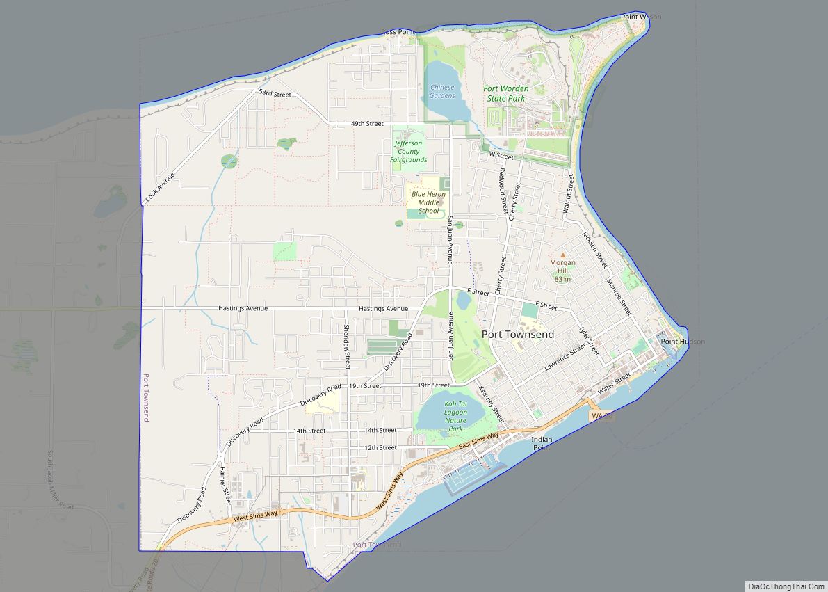
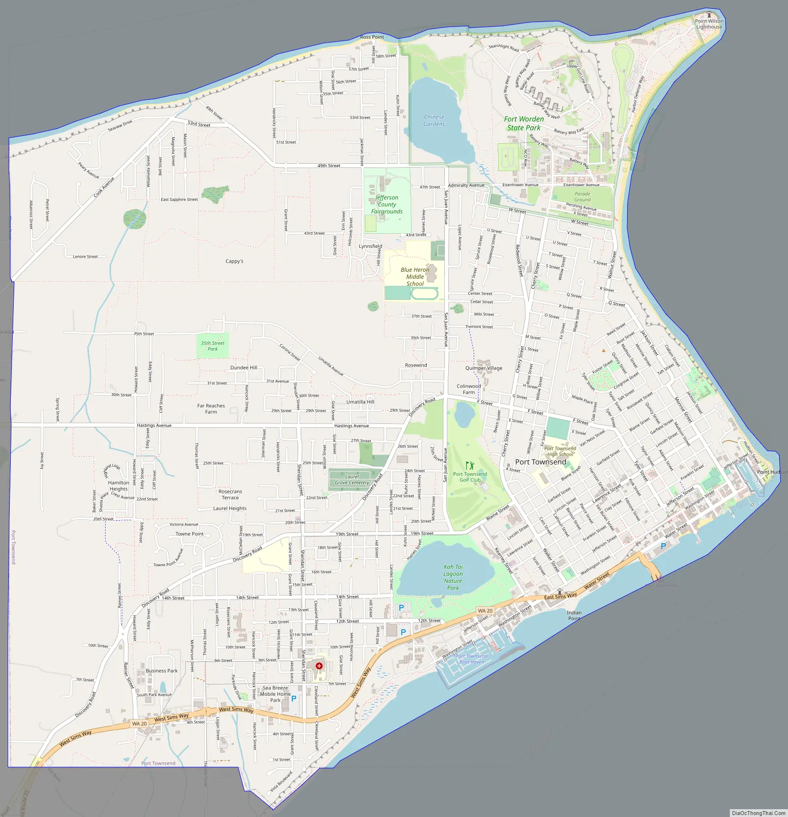
Port Townsend Road Map
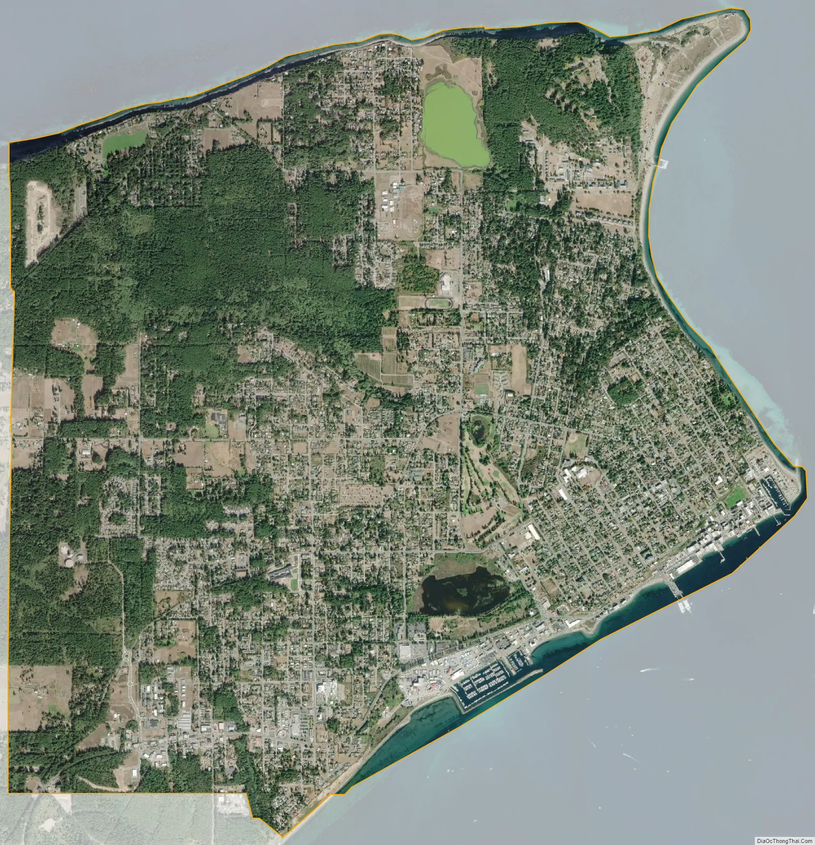
Port Townsend city Satellite Map
Geography
Port Townsend is located at 48°6′59″N 122°46′31″W / 48.11639°N 122.77528°W / 48.11639; -122.77528 (48.116514, -122.775254), on the Quimper Peninsula which extends out of the extreme northeastern end of the Olympic Peninsula, on the north end of a large, semi-protected bay. Port Townsend is adjacent to the Admiralty Inlet and a trio of state parks built on retired artillery installations (Fort Worden, Fort Casey, and Fort Flagler). The city and its surroundings are well-treed, with large Douglas fir dominant over many other tree species in the remaining wooded areas.
According to the United States Census Bureau, the city has a total area of 9.46 square miles (24.50 km), of which 6.98 square miles (18.08 km) are land and 2.48 square miles (6.42 km), or 26.22%, are water.
Climate
Port Townsend has a moderate Mediterranean climate with damp, chilly (though not severe) winters and warm, dry summers. It lies in the Olympic rain shadow and receives an average of only 19.04 inches (483.6 mm) annual precipitation. However, the environment is not as dry as the mean yearly total would suggest; cool breezes and fog from the Juan de Fuca Strait provide a comfortable level of humidity.
See also
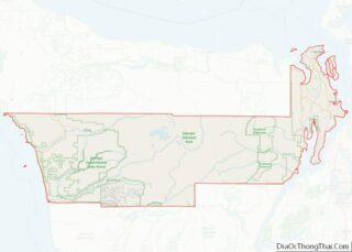
Map of Washington State and its subdivision:- Adams
- Asotin
- Benton
- Chelan
- Clallam
- Clark
- Columbia
- Cowlitz
- Douglas
- Ferry
- Franklin
- Garfield
- Grant
- Grays Harbor
- Island
- Jefferson
- King
- Kitsap
- Kittitas
- Klickitat
- Lewis
- Lincoln
- Mason
- Okanogan
- Pacific
- Pend Oreille
- Pierce
- San Juan
- Skagit
- Skamania
- Snohomish
- Spokane
- Stevens
- Thurston
- Wahkiakum
- Walla Walla
- Whatcom
- Whitman
- Yakima
- Alabama
- Alaska
- Arizona
- Arkansas
- California
- Colorado
- Connecticut
- Delaware
- District of Columbia
- Florida
- Georgia
- Hawaii
- Idaho
- Illinois
- Indiana
- Iowa
- Kansas
- Kentucky
- Louisiana
- Maine
- Maryland
- Massachusetts
- Michigan
- Minnesota
- Mississippi
- Missouri
- Montana
- Nebraska
- Nevada
- New Hampshire
- New Jersey
- New Mexico
- New York
- North Carolina
- North Dakota
- Ohio
- Oklahoma
- Oregon
- Pennsylvania
- Rhode Island
- South Carolina
- South Dakota
- Tennessee
- Texas
- Utah
- Vermont
- Virginia
- Washington
- West Virginia
- Wisconsin
- Wyoming