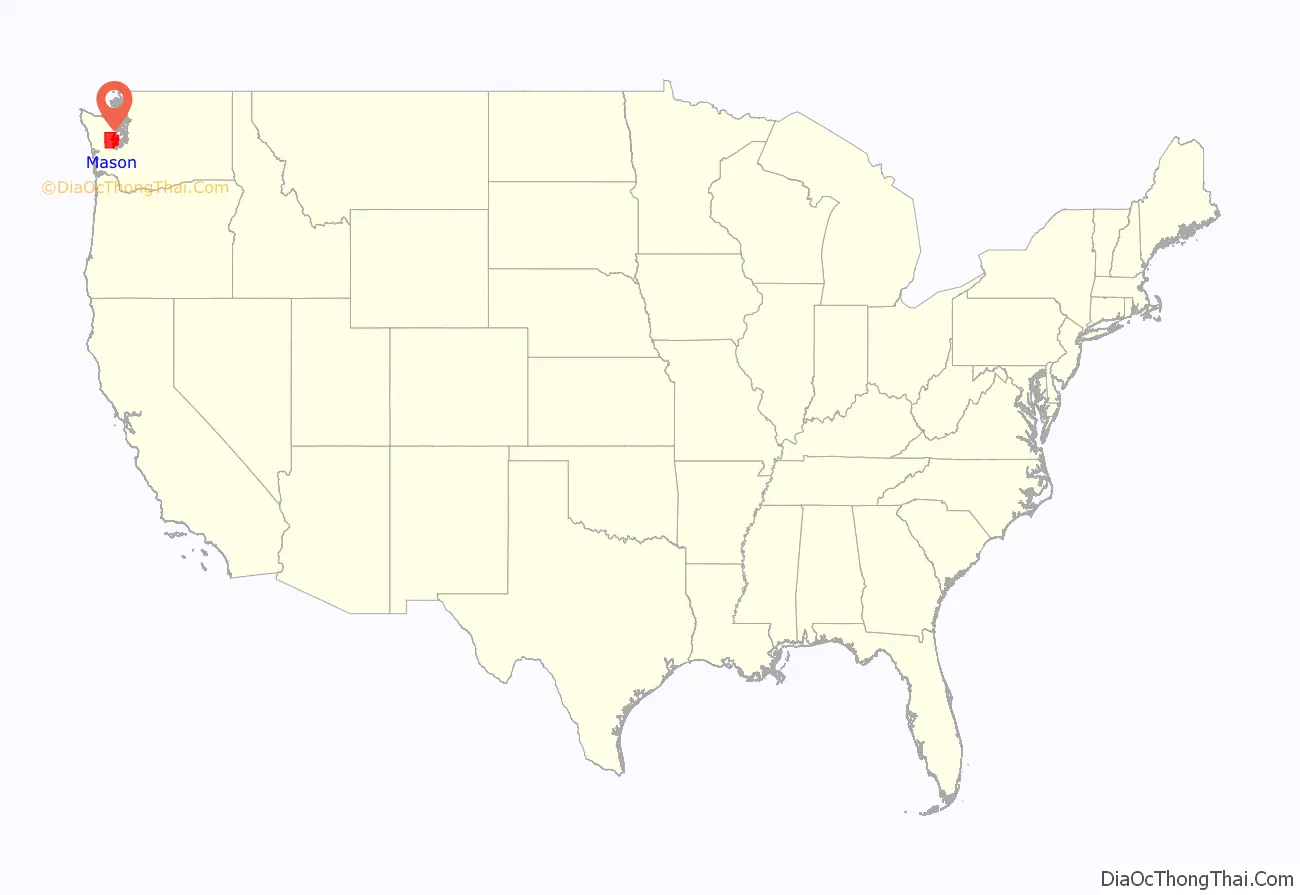
Mason County is a county located in the U.S. state of Washington. As of the 2020 census, the population was 65,726. The county seat and only incorporated city is Shelton. The county was formed out of Thurston County on March 13, 1854. Originally named Sawamish County, it took its present name in 1864 in honor of Charles H. Mason, the first Secretary of Washington Territory.
Mason County comprises the Shelton, WA Micropolitan Statistical Area and is included in the Seattle–Tacoma, WA Combined Statistical Area.
| Name: | Mason County |
|---|---|
| FIPS code: | 53-045 |
| State: | Washington |
| Founded: | March 13, 1854 |
| Named for: | Charles H. Mason |
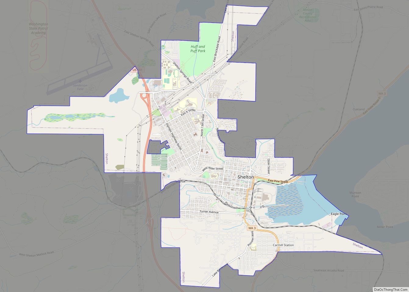
| Seat: | Shelton |
| Largest city: | Shelton |
| Total Area: | 1,051 sq mi (2,720 km²) |
| Land Area: | 959 sq mi (2,480 km²) |
| Total Population: | 65,726 |
| Population Density: | 63/sq mi (24/km²) |
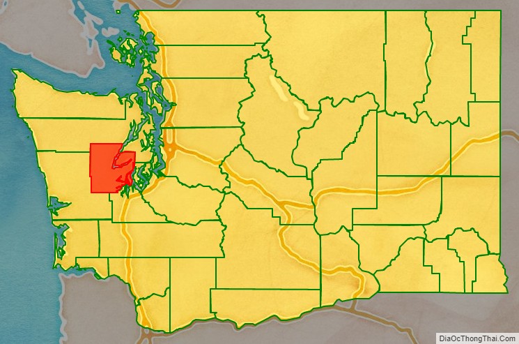
Mason County location map. Where is Mason County?
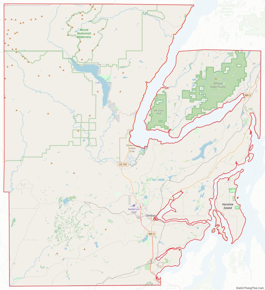
Mason County Road Map
Geography
According to the United States Census Bureau, the county has a total area of 1,051 square miles (2,720 km), of which 959 square miles (2,480 km) is land and 92 square miles (240 km) (8.7%) is water.
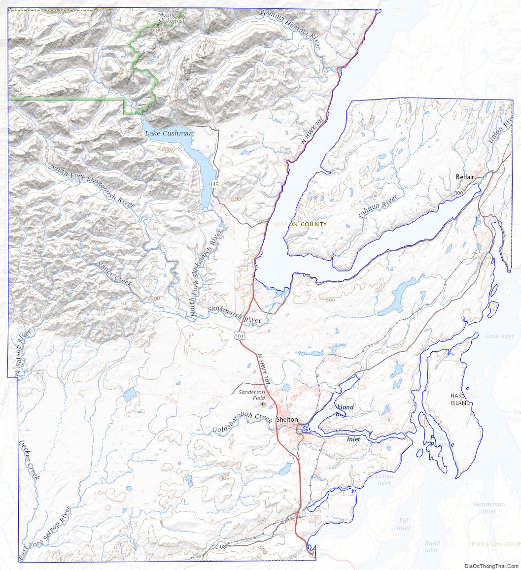
Geographic features
- Brown Cove
- Case Inlet
- Hammersley Inlet
- Harstine Island
- Hood Canal
- Lake Cushman
- Mason Lake
- Olympic Mountains
- Puget Sound
- Squaxin Island
- Totten Inlet
Oakland Bay
Major highways
- U.S. 101
- SR 3
- SR 108
- SR 106
Adjacent counties
- Jefferson County – northwest
- Kitsap County – northeast
- Pierce County – east/southeast
- Thurston County – southeast
- Grays Harbor County – southwest
National protected areas
- Olympic National Forest (part)
- Olympic National Park (part)
Mason County Topographic Map
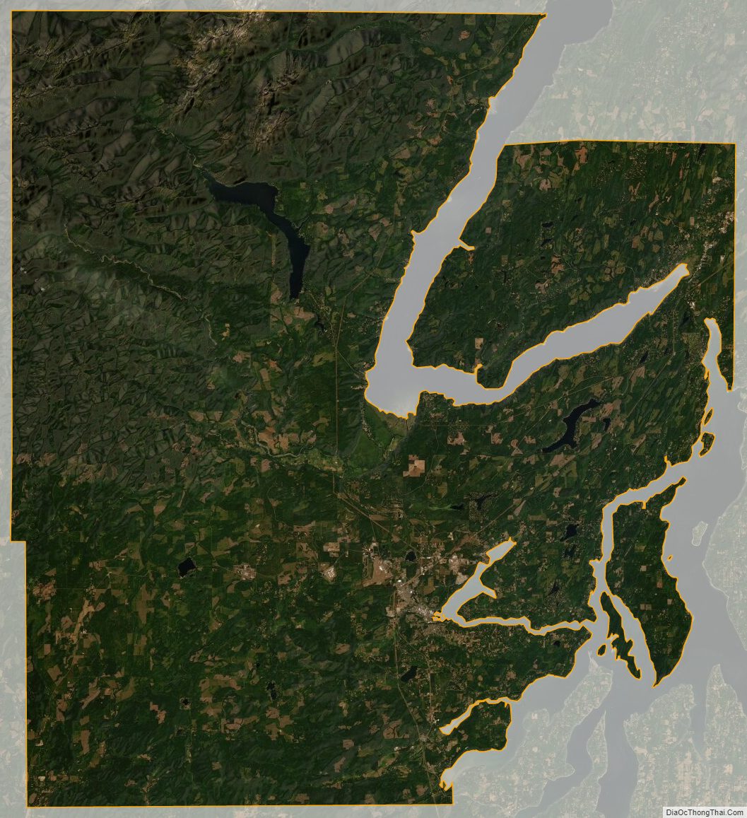
Mason County Satellite Map
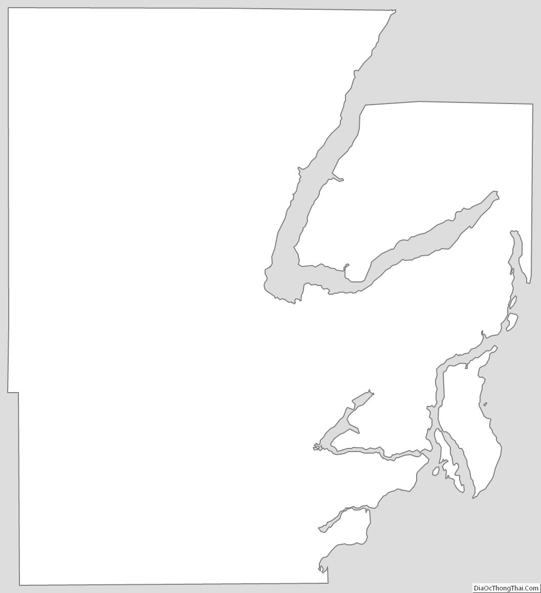
Mason County Outline Map