Kitsap County is located in the U.S. state of Washington. As of the 2020 census, its population was 275,611. Its county seat is Port Orchard, and its largest city is Bremerton. The county was formed out of King County and Jefferson County on January 16, 1857, and is named for Chief Kitsap of the Suquamish Tribe. Originally named Slaughter County, it was soon renamed.
Kitsap County comprises the Bremerton-Silverdale, WA Metropolitan Statistical Area, which is also included in the Seattle–Tacoma, WA Combined Statistical Area.
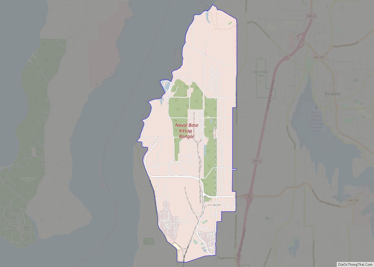
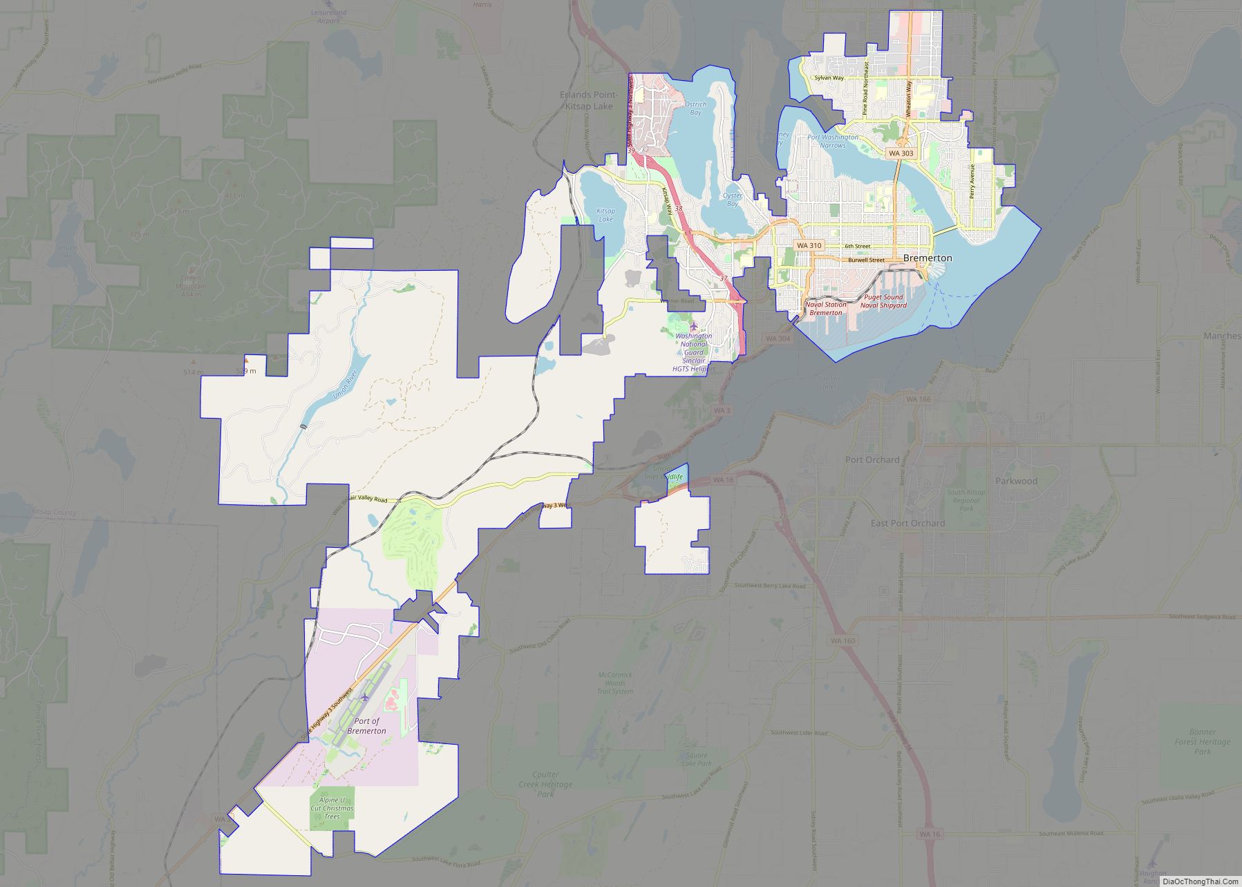
The United States Navy is the largest employer in the county, with installations at Puget Sound Naval Shipyard, Naval Undersea Warfare Center Keyport, and Naval Base Kitsap (which comprises former NSB Bangor and NS Bremerton).
Kitsap County is connected to the eastern shore of Puget Sound by Washington State Ferries routes, including the Seattle-Bremerton Ferry, Southworth to West Seattle via Vashon Island, Bainbridge Island to Downtown Seattle, and from Kingston to Edmonds, Washington. Kitsap Transit provides passenger-only fast ferry service between Bremerton and Seattle, Kingston and Seattle, and Southworth and Seattle.
| Name: | Kitsap County |
|---|---|
| FIPS code: | 53-035 |
| State: | Washington |
| Founded: | January 16, 1857 |
| Named for: | Chief Kitsap |
| Seat: | Port Orchard |
| Largest city: | Bremerton |
| Total Area: | 566 sq mi (1,470 km²) |
| Land Area: | 395 sq mi (1,020 km²) |
| Total Population: | 275,611 |
| Population Density: | 644/sq mi (249/km²) |
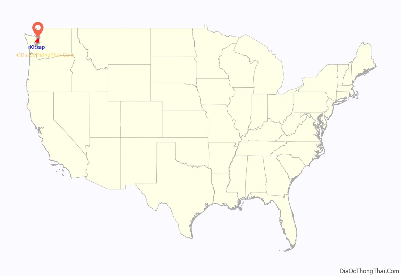
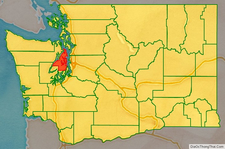
Kitsap County location map. Where is Kitsap County?
History
The Kitsap Peninsula was originally acquired by the U.S. Government in three pieces by three treaties negotiated with the Native American tribes:
- The Treaty of Medicine Creek, signed 26 December 1854, ratified 3 March 1855
- The Treaty of Point Elliott, signed 22 January 1855, ratified 11 April 1859
- Point No Point Treaty, signed 26 January 1855, ratified 8 March 1859.
Territorial Governor Isaac Stevens represented the United States in all three negotiations.
When the Washington Territory was organized in 1853, the Kitsap Peninsula was divided between King County to the east and Jefferson County to the west. Official public papers were required to be filed at the county seat, which meant Peninsula business people had to travel to either Seattle or Port Townsend to transact business. On the understanding that they would “bring home a new county,” area mill operators George Meigs and William Renton supported the candidacies to the Territorial Legislature of two employees from their respective mills: Timothy Duane Hinckley from Meigs’ and S.B. Wilson from Renton’s.
Upon arrival in Olympia, the two men introduced bills to create a new county, to be named “Madison”. Representative Abernathy from Wahkiakum County proposed an amendment to name it “Slaughter”, in recognition of Lt. William Alloway Slaughter, who had been killed in 1855 in the Yakima War. The bill passed as amended. It was signed by Governor Isaac Stevens on January 16, 1857. The county seat would be located in Meigs’s mill town at Port Madison.
In Slaughter County’s first election on July 13, 1857, voters were given the opportunity to rename the county. The options were “Mill”, “Madison” or “Kitsap”. Slaughter was not one of the options. Kitsap won by an overwhelming majority.
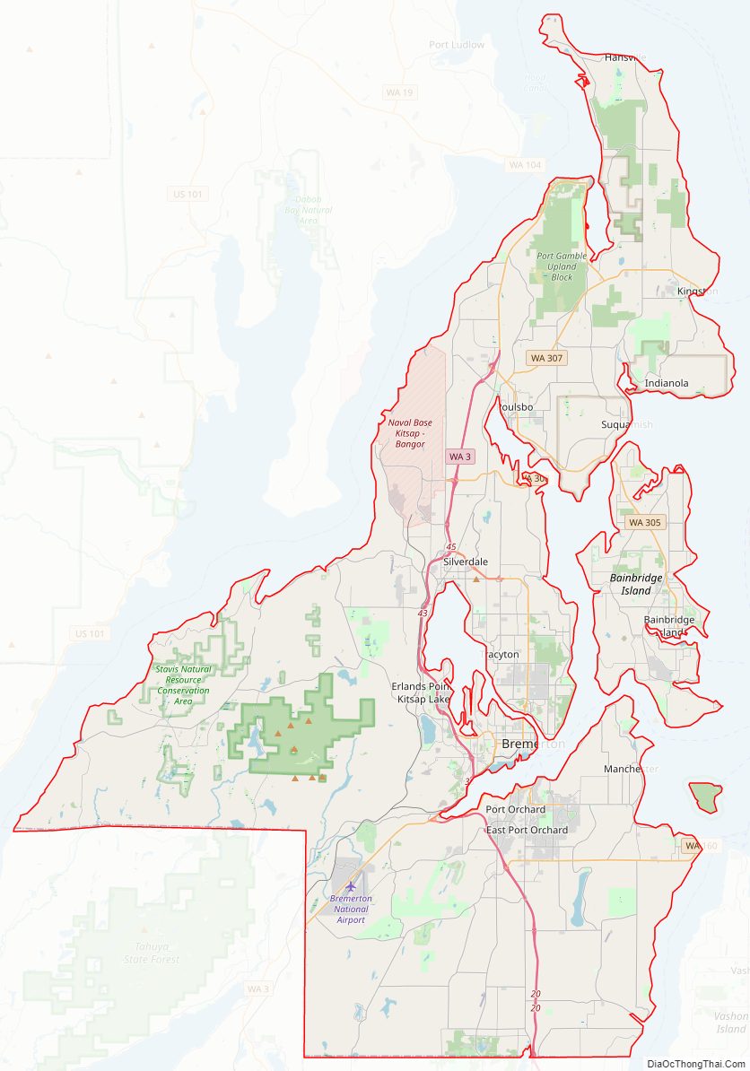
Kitsap County Road Map
Geography
According to the United States Census Bureau, the county has a total area of 566 square miles (1,470 km), of which 395 square miles (1,020 km) is land and 171 square miles (440 km) (30%) is water. It is the fourth-smallest county in Washington by land area and third-smallest by total area.
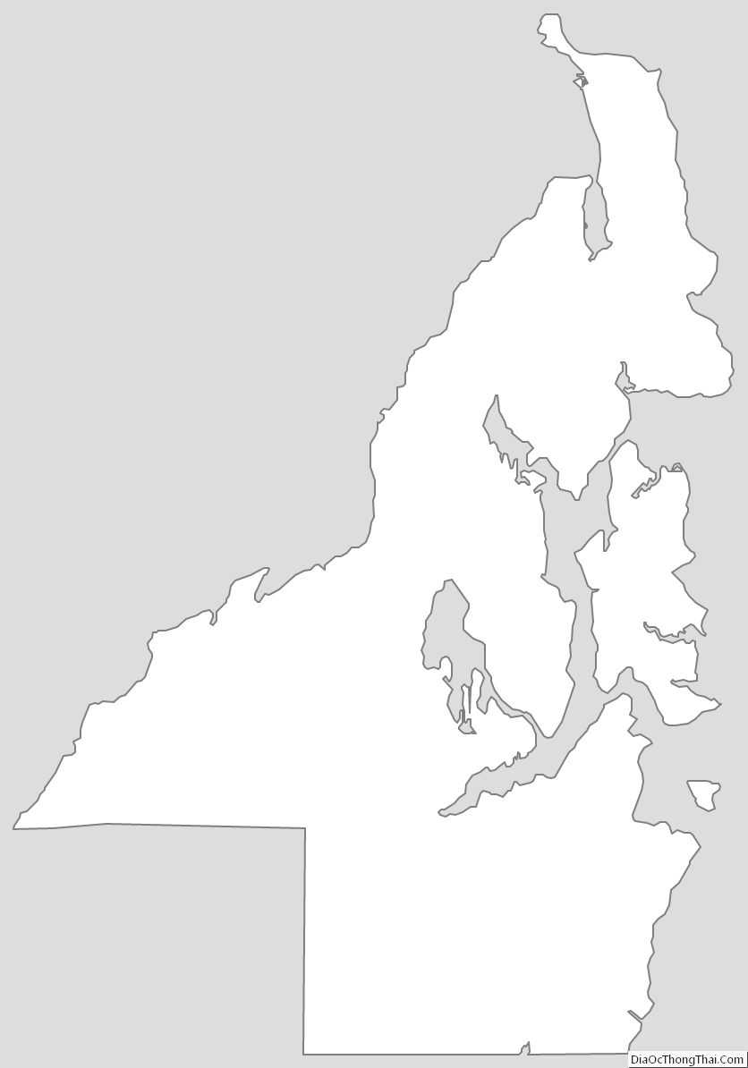
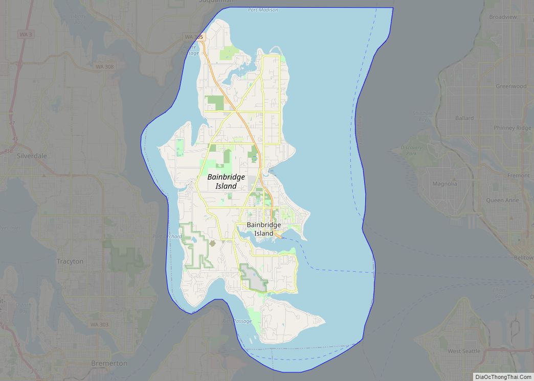
In addition to occupying most of the Kitsap Peninsula, Kitsap County includes both Bainbridge Island and Blake Island. According to Puget Sound Partnership, Kitsap county has over 250 miles (400 km) of saltwater shoreline.
The portion of the county north of Silverdale is often referred to as North Kitsap, and the portion south of Bremerton as South Kitsap.
Geographic features
- Bainbridge Island
- Blake Island
- Colvos Passage
- Dyes Inlet
- Hood Canal
- Kitsap Peninsula
- Liberty Bay
- Port Gamble
- Port Madison
- Port Orchard
- Puget Sound
- Sinclair Inlet
- Blue Hills
- Seattle Fault Zone
- Kitsap Lake
Adjacent counties
- Island County – northeast
- Snohomish County – east
- King County – east/southeast
- Pierce County – south/southeast
- Mason County – southwest
- Jefferson County – northwest
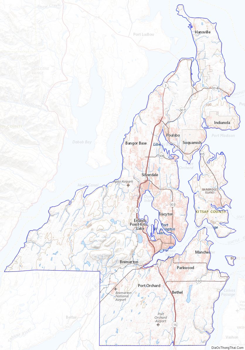
Kitsap County Topographic Map
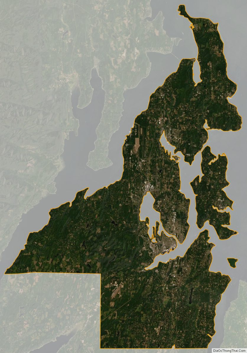
Kitsap County Satellite Map
Kitsap County Outline Map