| Name: | Grays Harbor County |
|---|---|
| FIPS code: | 53-027 |
| State: | Washington |
| Founded: | April 14, 1854 |
| Named for: | Grays Harbor |
| Seat: | Montesano |
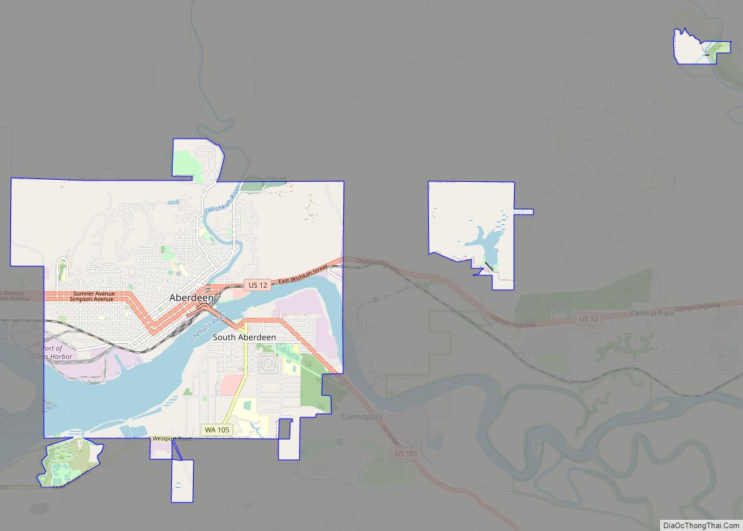
| Largest city: | Aberdeen |
| Total Area: | 2,224 sq mi (5,760 km²) |
| Land Area: | 1,902 sq mi (4,930 km²) |
| Total Population: | 75,636 |
| Population Density: | 38.3/sq mi (14.8/km²) |
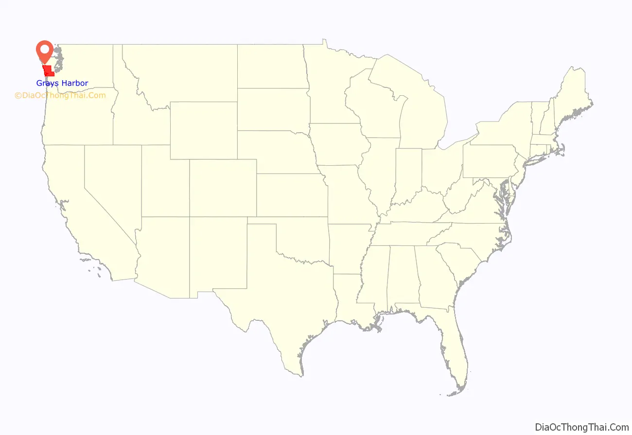
Grays Harbor County location map. Where is Grays Harbor County?

History
The county is presently named after a large estuarine bay near its southwestern corner. On May 7, 1792, Boston fur trader Robert Gray crossed the bar into a bay which he called Bullfinch Harbor, but which later cartographers would label Chehalis Bay, and then Grays Harbor.
The area that now comprises Grays Harbor County was part of Oregon Territory in the first part of the nineteenth century. On December 19, 1845, the Provisional Government of Oregon created two counties (Vancouver and Clark) in its northern portion (which is now the state of Washington). In 1849, the name of Vancouver County was changed to Lewis County, and on April 14, 1854, a portion of Lewis County was partitioned off to become Chehalis County. This county’s boundaries have not changed since its creation, but on June 9, 1915, its name was changed to Grays Harbor County to eliminate confusion with the town of Chehalis in Lewis County.
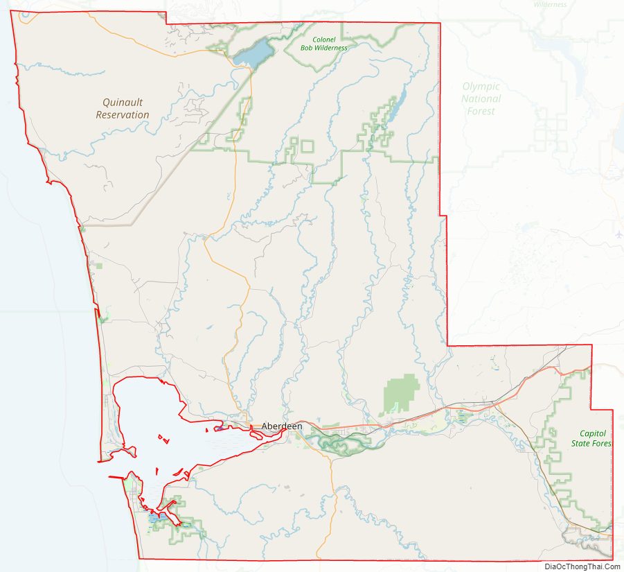
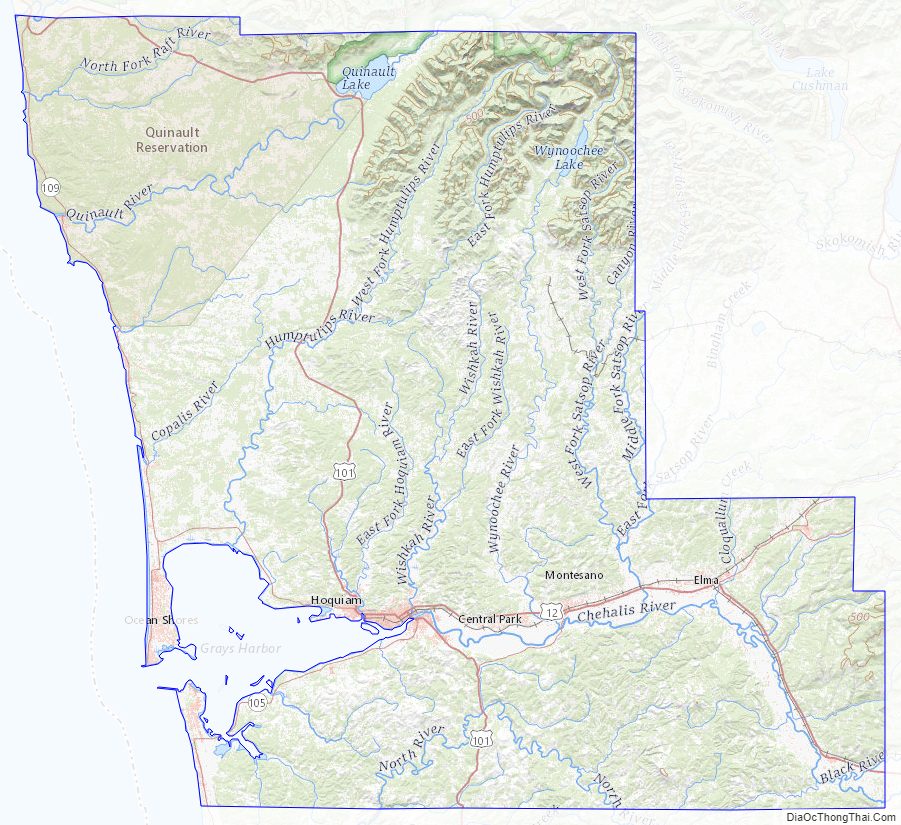
Grays Harbor County Road Map
Geography
According to the United States Census Bureau, the county has a total area of 2,224 square miles (5,760 km), of which 1,902 square miles (4,930 km) is land and 322 square miles (830 km) (14%) is water.
Geographic features
State parks
- Griffiths-Priday State Park
- Lake Sylvia State Park
- Ocean City State Park
- Pacific Beach State Park
- Twin Harbors State Park
- Westhaven State Park (now part of Westport Light State Park)
- Westport Light State Park
Major highways
- State Route 8
- U.S. Route 12
- U.S. Route 101
- State Route 105
- State Route 107
- State Route 109
Adjacent counties
- Jefferson County – north
- Mason County – northeast
- Thurston County – east/southeast
- Lewis County – south/southeast
- Pacific County – south
National protected areas
- Chehalis Indian Reservation
- Colonel Bob Wilderness
- Copalis National Wildlife Refuge
- Grays Harbor National Wildlife Refuge
- Olympic National Forest (part)
- Olympic National Park (part)
- Quinault Indian Reservation
Grays Harbor County Topographic Map
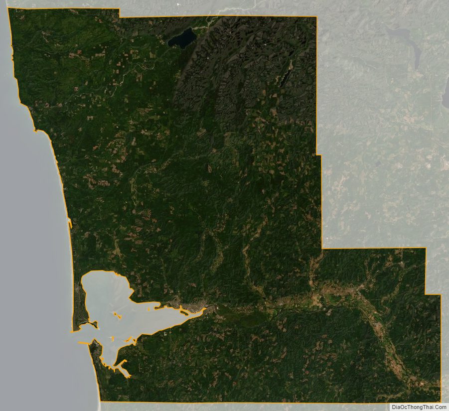
Grays Harbor County Satellite Map
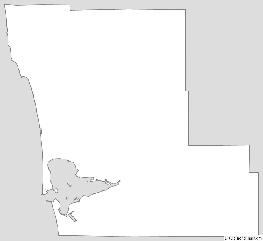
Grays Harbor County Outline Map